Berkley

Civil Parish in Somerset Mendip

England

Berkley

Old Milestone, (Former A361) Frome Road, South West of Beckington The milestone is located between Oldford and Beckington in the roadside hedge on the west side of the road. Parish of Beckington (Mendip District). Cast iron post, C&M Classical iron casting design, erected by the Black Dog turnpike trust in the 19th century.

Inscription reads:-
BATH
11
MILES
FROME
2

Somerset HER number: 19330 <span class="nowrap"><a title="https://www.heritagegateway.org.uk/Gateway/Results_Single.aspx?uid=19330&resourceID=100" rel="nofollow ugc noopener" href="https://www.heritagegateway.org.uk/Gateway/Results_Single.aspx?uid=19330&resourceID=100">Link</a><img style="margin-left:2px;" alt="External link" title="External link - shift click to open in new window" src="https://s1.geograph.org.uk/img/external.png" width="10" height="10"/></span>

Milestone Society National ID: SO_BAFR11
Old Milestone, (Former A361) Frome Road, South West of Beckington Credit: Janet Dowding

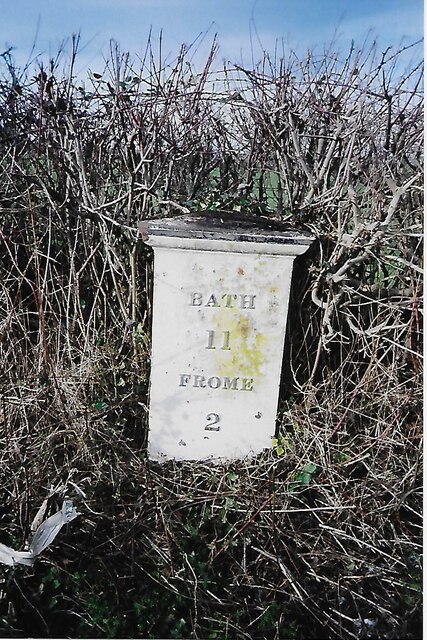
Berkley is a civil parish located in the county of Somerset, England. It is situated approximately 5 miles west of the town of Frome and 20 miles south of Bath. The parish covers an area of about 9 square miles and is home to a population of around 400 people.

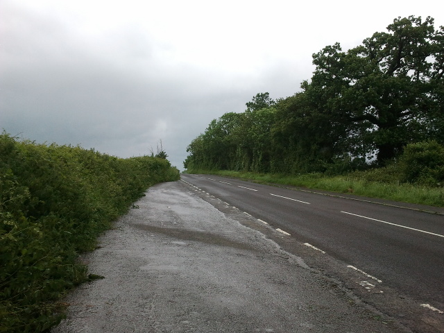
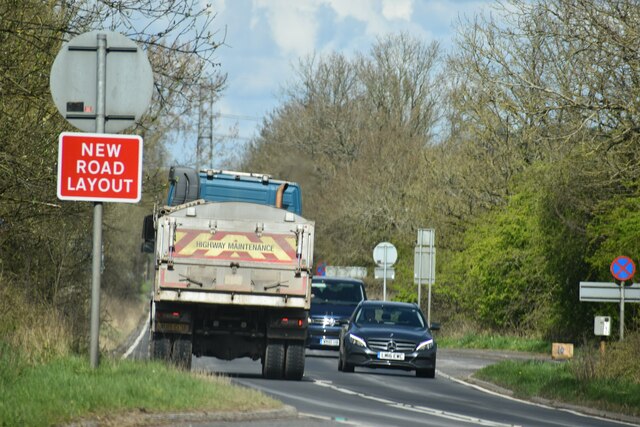
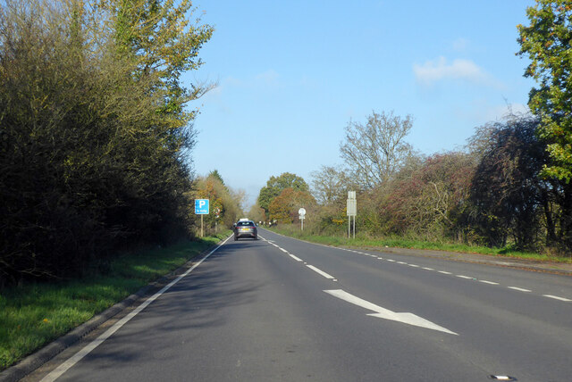
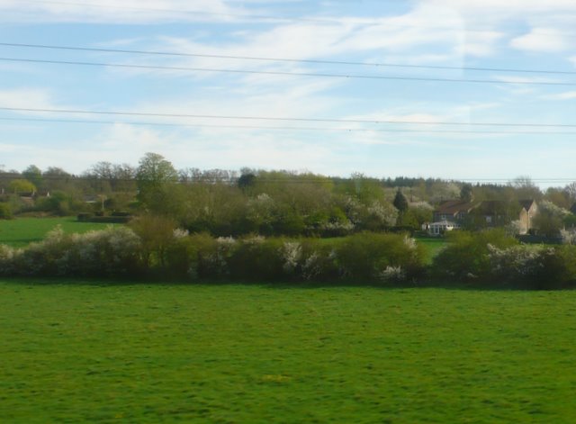
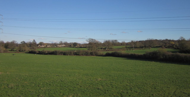
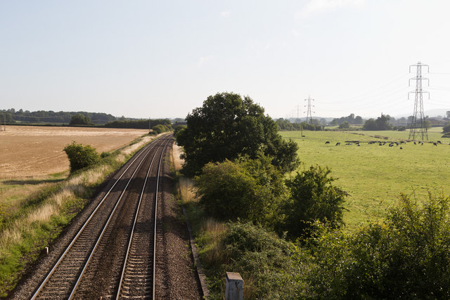
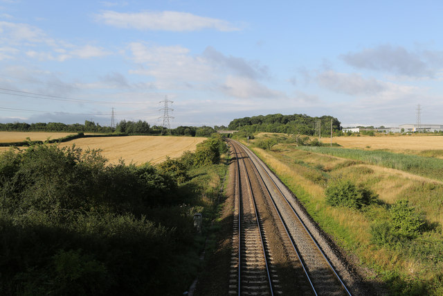
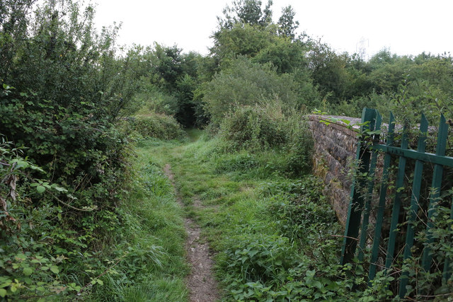
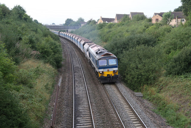
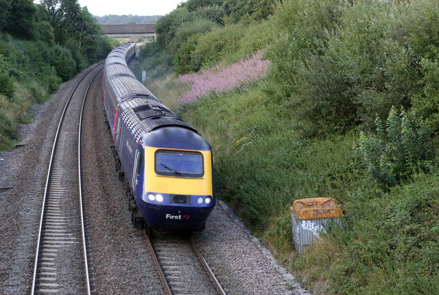
The landscape of Berkley is predominantly rural, characterized by rolling hills, farmland, and lush green fields. The parish is surrounded by picturesque countryside, offering stunning views and ample opportunities for outdoor activities such as hiking, cycling, and horse riding.

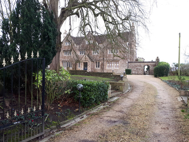
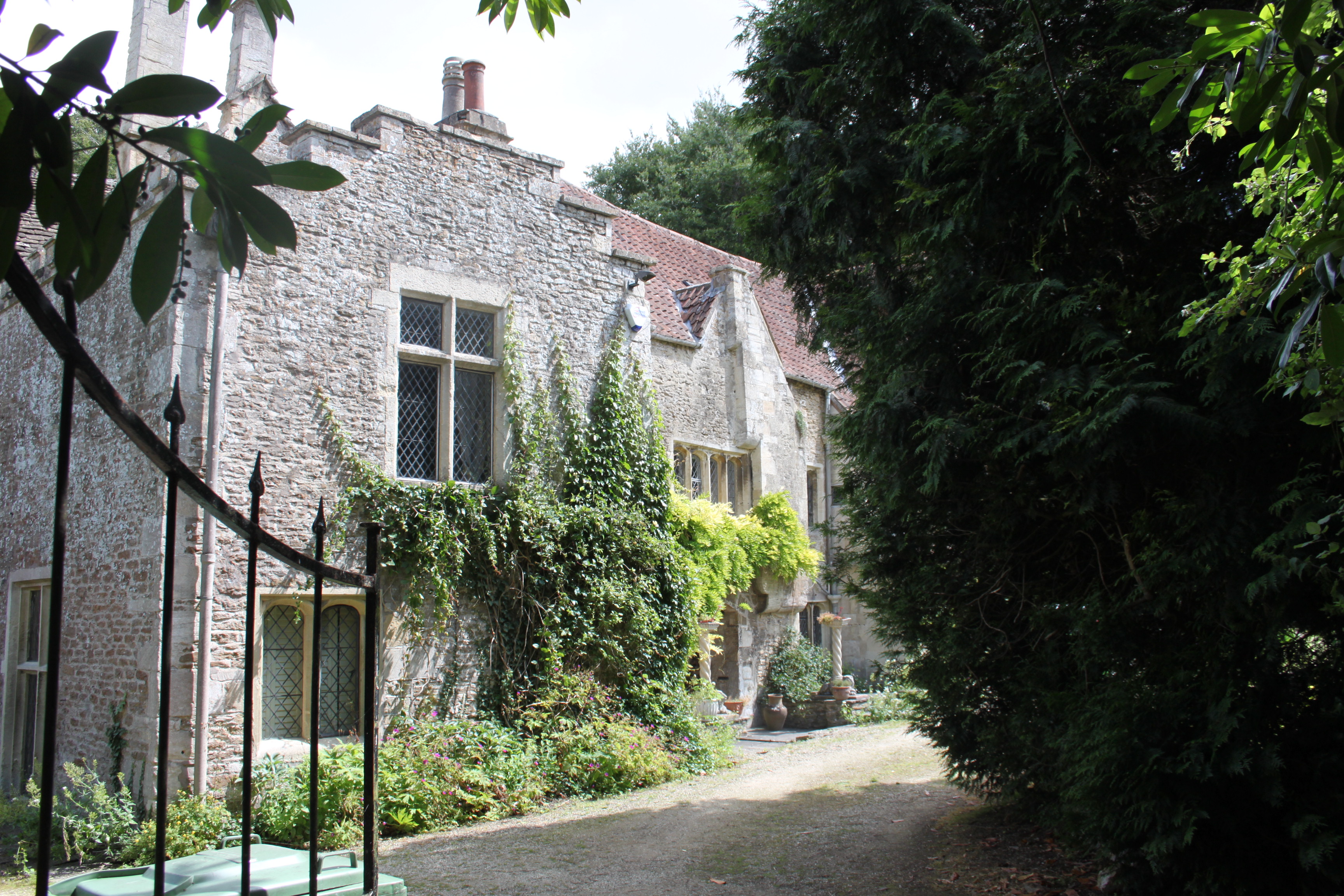
The village of Berkley itself is a charming and tight-knit community. It features a mix of traditional stone cottages, historic buildings, and modern houses. The centerpiece of the village is the Berkley Castle, a medieval fortress that dates back to the 12th century. The castle is open to the public and attracts many visitors who come to explore its rich history and beautiful gardens.

The parish also boasts a village hall, a primary school, and a church, which serves as a focal point for religious and community gatherings. Additionally, there are several local businesses and amenities, including a pub, a post office, and a small convenience store.

Overall, Berkley offers a peaceful and idyllic setting for residents and visitors alike, with its rural charm, historic landmarks, and access to the natural beauty of the Somerset countryside.

If you have any feedback on the listing, please let us know in the comments section below.

Berkley Images

Images are sourced within 2km of 51.247312/-2.27749 or Grid Reference ST8049. Thanks to Geograph Open Source API. All images are credited.

Old Milestone, (Former A361) Frome Road, South West of Beckington The milestone is located between Oldford and Beckington in the roadside hedge on the west side of the road. Parish of Beckington (Mendip District). Cast iron post, C&M Classical iron casting design, erected by the Black Dog turnpike trust in the 19th century.

Inscription reads:-
BATH
11
MILES
FROME
2

Somerset HER number: 19330 <span class="nowrap"><a title="https://www.heritagegateway.org.uk/Gateway/Results_Single.aspx?uid=19330&resourceID=100" rel="nofollow ugc noopener" href="https://www.heritagegateway.org.uk/Gateway/Results_Single.aspx?uid=19330&resourceID=100">Link</a><img style="margin-left:2px;" alt="External link" title="External link - shift click to open in new window" src="https://s1.geograph.org.uk/img/external.png" width="10" height="10"/></span>

Milestone Society National ID: SO_BAFR11
Old Milestone, (Former A361) Frome Road, South West of Beckington
The milestone is located between Oldford and Beckington in the roadside hedge on the west side of the road. Parish of Beckington (Mendip District). Cast iron post, C&M Classical iron casting design, erected by the Black Dog turnpike trust in the 19th century. Inscription reads:- BATH 11 MILES FROME 2 Somerset HER number: 19330 LinkExternal link Milestone Society National ID: SO_BAFR11
Beckington House Grade II listed former 17th century manor house, restored mid-19th century. <span class="nowrap"><a title="https://britishlistedbuildings.co.uk/101345321-beckington-manor-attached-garden-wall-gate-and-piers-beckington#.Yhp2DTjP2Uk" rel="nofollow ugc noopener" href="https://britishlistedbuildings.co.uk/101345321-beckington-manor-attached-garden-wall-gate-and-piers-beckington#.Yhp2DTjP2Uk">Link</a><img style="margin-left:2px;" alt="External link" title="External link - shift click to open in new window" src="https://s1.geograph.org.uk/img/external.png" width="10" height="10"/></span>
Beckington House
Grade II listed former 17th century manor house, restored mid-19th century. LinkExternal link
Layby on Frome Road, heading towards Beckington
Pile of rubbish opposite the layby on Frome Road
A36 at the bottom of Black Dog Hill Seen from the lay-by to the south of the road.
A36 at the bottom of Black Dog Hill
Seen from the lay-by to the south of the road.
A36 towards Bath
A36 towards Bath
Down Milk empties at Clink Road, near Frome View NE, towards Westbury, Reading and London; ex-GWR London - Reading - Westbury - Taunton etc. main line. (Just ahead of the train the Frome-avoiding line to Blatchbridge Junction commences). This is probably the very important Kensington - Plymouth Milk empties, returning tank-wagons to various Milk Depots in the West Country which supplied a large proportion of the capital's needs - before the age of Motorways. The locomotive is 4-6-0 No. 4941 'Llangedwyn Hall' (built 7/29, withdrawn 10/62).
Down Milk empties at Clink Road, near Frome
View NE, towards Westbury, Reading and London; ex-GWR London - Reading - Westbury - Taunton etc. main line. (Just ahead of the train the Frome-avoiding line to Blatchbridge Junction commences). This is probably the very important Kensington - Plymouth Milk empties, returning tank-wagons to various Milk Depots in the West Country which supplied a large proportion of the capital's needs - before the age of Motorways. The locomotive is 4-6-0 No. 4941 'Llangedwyn Hall' (built 7/29, withdrawn 10/62).
Bristol - Weymouth express approaching Clink Road Junction, Frome View NE, towards Westbury (and Bristol, via Bath), Newbury, Reading and London, etc.; ex-GWR Paddington - Reading - Westbury - Taunton - Exeter - Plymouth - Penzance, also Wilts., Somerset and Weymouth (Swindon/Bath - Westbury - Yeovil - Weymouth, main lines. (At Clink Road the Frome cut-off line ran to Blacksbridge Junction). The 09.43 Bristol Temple Meads to Weymouth is headed by 4-6-0 No. 5924 'Dinton Hall' (built 5/33, withdrawn 12/63) and will call in at Frome. (See also <a href="https://www.geograph.org.uk/photo/2468446">ST7948 : Down Milk empties at Clink Road, near Frome</a>).
Bristol - Weymouth express approaching Clink Road Junction, Frome
View NE, towards Westbury (and Bristol, via Bath), Newbury, Reading and London, etc.; ex-GWR Paddington - Reading - Westbury - Taunton - Exeter - Plymouth - Penzance, also Wilts., Somerset and Weymouth (Swindon/Bath - Westbury - Yeovil - Weymouth, main lines. (At Clink Road the Frome cut-off line ran to Blacksbridge Junction). The 09.43 Bristol Temple Meads to Weymouth is headed by 4-6-0 No. 5924 'Dinton Hall' (built 5/33, withdrawn 12/63) and will call in at Frome. (See also ST7948 : Down Milk empties at Clink Road, near Frome).
Edge of Frome At one time none of the town was east of the River From but now nearly half of it is. This is the back of one of the large housing estates on the north eastern edge of the town, viewed from a Yeovil to Bristol train.
Edge of Frome
At one time none of the town was east of the River From but now nearly half of it is. This is the back of one of the large housing estates on the north eastern edge of the town, viewed from a Yeovil to Bristol train.
Holmbury Close Power lines, garages and 1980s houses in Frome.
Holmbury Close
Power lines, garages and 1980s houses in Frome.
Countryside at Berkley Marsh Looking towards the village of Berkley (left of centre) from a train on the main railway line between Westbury and Frome. Pylon lines, drainage channels and hedges cross this low-lying area of pasture.
Countryside at Berkley Marsh
Looking towards the village of Berkley (left of centre) from a train on the main railway line between Westbury and Frome. Pylon lines, drainage channels and hedges cross this low-lying area of pasture.
Passing Berkley Marsh The west of England mainline between Westbury and Taunton passes to the west of the village of Berkley Marsh.  This view is taken early on a mid-August morning from Marsh Lane looking towards Westbury.   The cows are all standing up, so it should be a fine day.
Passing Berkley Marsh
The west of England mainline between Westbury and Taunton passes to the west of the village of Berkley Marsh. This view is taken early on a mid-August morning from Marsh Lane looking towards Westbury. The cows are all standing up, so it should be a fine day.
Looking Towards Frome The West of England mainline between Westbury and Taunton viewed from Marsh Bridge on Marsh Lane early on a mid-August morning.
Looking Towards Frome
The West of England mainline between Westbury and Taunton viewed from Marsh Bridge on Marsh Lane early on a mid-August morning.
Waitrose Delivery A Waitrose truck passes northbound up the A361 towards Melksham on the outskirts of Frome.   Behind, on the right, is the Frome Premier Inn with its Frome Flyer restaurant located on Jenson Avenue - a reference to Formula One driver Jenson Button, who is from Frome.
Waitrose Delivery
A Waitrose truck passes northbound up the A361 towards Melksham on the outskirts of Frome. Behind, on the right, is the Frome Premier Inn with its Frome Flyer restaurant located on Jenson Avenue - a reference to Formula One driver Jenson Button, who is from Frome.
Coalway Lane Bridge Now just a footpath rather than a lane, pedestrians are more likely to meet cyclists that horse-drawn carts!   This is the bridge over the West of England mainline close to Clink Road Junction on the outskirts of Frome.   Autumn is fast approaching and there is dew on the grass.  The Blackberries have formed but have still to ripen.
Coalway Lane Bridge
Now just a footpath rather than a lane, pedestrians are more likely to meet cyclists that horse-drawn carts! This is the bridge over the West of England mainline close to Clink Road Junction on the outskirts of Frome. Autumn is fast approaching and there is dew on the grass. The Blackberries have formed but have still to ripen.
Jumbo Stone Train Hanson's Class 59 diesel - 59101 'Village of Whatley' - accelerates through the outskirts of Frome with the 7A09 loaded stone train from Merehead Quarry to Acton Yard.   Sometimes referred to as 'Jumbo', these very long trains are divided at Acton for onward delivery to distribution sites around London and the South east.
Jumbo Stone Train
Hanson's Class 59 diesel - 59101 'Village of Whatley' - accelerates through the outskirts of Frome with the 7A09 loaded stone train from Merehead Quarry to Acton Yard. Sometimes referred to as 'Jumbo', these very long trains are divided at Acton for onward delivery to distribution sites around London and the South east.
Clink Road Junction The West of England mainline with the Frome line diverging on the right.   The netting suspended across the railway line at this point is temporary - there was maintenance work being carried out on the national grid network of pylons in the area.

The train in the foreground has just come off the Frome branch and is the 2D03 service from Weymouth to Bristol Parkway - departing Weymouth at 05:33 and due at Parkway at 08:29.  It called at Frome at 07:04 with next stop Westbury.
Clink Road Junction
The West of England mainline with the Frome line diverging on the right. The netting suspended across the railway line at this point is temporary - there was maintenance work being carried out on the national grid network of pylons in the area. The train in the foreground has just come off the Frome branch and is the 2D03 service from Weymouth to Bristol Parkway - departing Weymouth at 05:33 and due at Parkway at 08:29. It called at Frome at 07:04 with next stop Westbury.
Nearing Journey's End Class 43, 43132, leads a First Great Western HST set towards Clink Road Junction at Coalway Lane.   The bridge in the distance carries the A361 over the railway.   The pink flowers of the Rosebay Willowherb are still going strong in this late summer view.

This train is the (1J93) 18:06 service from Paddington which will terminate at Frome at 20:06.
Nearing Journey's End
Class 43, 43132, leads a First Great Western HST set towards Clink Road Junction at Coalway Lane. The bridge in the distance carries the A361 over the railway. The pink flowers of the Rosebay Willowherb are still going strong in this late summer view. This train is the (1J93) 18:06 service from Paddington which will terminate at Frome at 20:06.
Show me another place!

Berkley is located at Grid Ref: ST8049 (Lat: 51.247312, Lng: -2.27749)

Administrative County: Somerset

District: Mendip

Police Authority: Avon and Somerset

What 3 Words

///correct.salaried.hillsides. Near Chapmanslade, Wiltshire

Nearby Locations

Berkley Berkley Marsh

Related Wikis

Church of St Mary, Berkley

The Church of St Mary is a Church of England parish church in Berkley, Somerset. It is a Grade II* listed building built in 1751. == History == The church...

Berkley, Somerset

Berkley is a dispersed settlement and civil parish in Somerset, England. According to the 2011 census the parish had a population of 344. It lies on the...

The Wool Hall

The Wool Hall is a recording studio in the village of Beckington, near Frome, Somerset, England. It was originally a residential studio set up by Tears...

Beckington Castle

Beckington Castle is a historic house in the village of Beckington, Somerset, England. It is a Grade II* listed building.It was built in the early 17th...

The Abbey, Beckington

The Abbey, Beckington in Beckington, Somerset, England is a historic building that was founded as a monastic grange and also used as a college for priests...

Beckington

Beckington is a village and civil parish in Somerset, England, across the River Frome from Lullington about three miles north of Frome. According to the...

Frome Hoard

The Frome Hoard is a hoard of 52,503 Roman coins found in April 2010 by metal detectorist Dave Crisp near Frome in Somerset, England. The coins were contained...

Church of All Saints, Rodden

The Anglican Church of All Saints in Rodden, Somerset, England, was built in 1640. It is a Grade II* listed building. == History == The church was built...

Nearby Amenities

Located within 500m of 51.247312,-2.27749
Colour: grey
Design: three-level
Height: 71.59
Line Attachment: suspension
Material: metal
Operator: National Grid
Operator Wikidata: Q1465461
Power: tower
Ref: ZG197
Source: Bing
Start Date: 1960
Structure: lattice
Lat/Long: 51.2448054/-2.2799281
Colour: grey
Design: three-level
Height: 66.62
Line Attachment: suspension
Material: metal
Operator: National Grid
Operator Wikidata: Q1465461
Power: tower
Ref: ZG199
Source: Bing
Start Date: 1960
Structure: lattice
Lat/Long: 51.2483678/-2.2705601
Colour: grey
Design: three-level
Height: 69.44
Line Attachment: suspension
Material: metal
Operator: National Grid
Operator Wikidata: Q1465461
Power: tower
Ref: ZG198
Source: Bing
Start Date: 1960
Structure: lattice
Lat/Long: 51.2467526/-2.2753827
Power: pole
Lat/Long: 51.2480205/-2.2844964
Power: pole
Lat/Long: 51.2475487/-2.2836676
Power: pole
Lat/Long: 51.2470618/-2.2828254
Power: pole
Lat/Long: 51.2465631/-2.2819644
Power: pole
Lat/Long: 51.2460275/-2.2810605
Power: pole
Lat/Long: 51.245591/-2.2840968
Power: pole
Lat/Long: 51.2465883/-2.2818893
Material: wood
Power: pole
Lat/Long: 51.2473271/-2.2802961
Material: wood
Power: pole
Lat/Long: 51.2481397/-2.2784078
Material: wood
Power: pole
Lat/Long: 51.249372/-2.2757471
Power: pole
Lat/Long: 51.2500267/-2.2742933
Post Box
Collection Times: Mo-Fr 09:00; Sa 07:00; Su off
Note: Is behind a hedge, looks like it's in the garden, but small gate to provide access from the drive (to right/NE). I note label on the postbox (BA11 16D, dated 12/10/22) differs from number mentioned in Survey Me! data from Royal Mail (BA11 6).
Operator: Royal Mail
Operator Wikidata: Q638098
Post Box Type: wall
Ref: BA11 16
Lat/Long: 51.2450391/-2.2720268
The data included in this document is from www.openstreetmap.org. The data is made available under ODbL.

Have you been to Berkley?

Leave your review of Berkley below (or comments, questions and feedback).