Berkhamsted
Civil Parish in Hertfordshire Dacorum
England
Berkhamsted
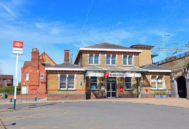
Berkhamsted is a civil parish located in Hertfordshire, England. It is situated in the Chiltern Hills, approximately 26 miles northwest of London. The town has a population of around 20,000 people.
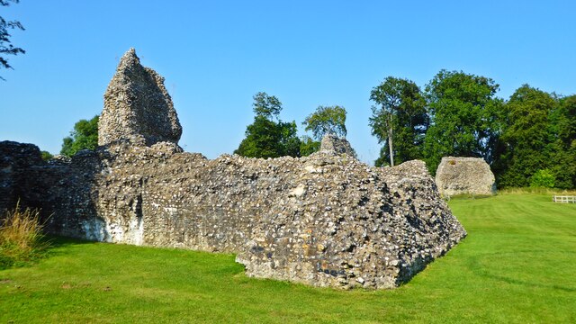
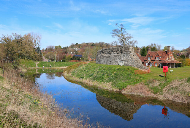
Berkhamsted is known for its rich history, with evidence of human habitation dating back to prehistoric times. It was an important market town during the medieval period and played a significant role in the development of the region. The town boasts several historical landmarks, including Berkhamsted Castle, which was built in the 11th century and played a prominent role in the Norman Conquest.
The town has a thriving community and offers a range of amenities and services. It has a variety of shops, restaurants, and cafes, catering to both residents and visitors. The local economy is diverse, with industries such as retail, education, and healthcare playing a significant role.
Berkhamsted is also known for its excellent educational facilities, with several primary and secondary schools providing high-quality education to the local community. The town is also home to Berkhamsted School, one of the country's leading independent schools.
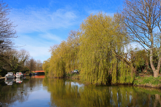
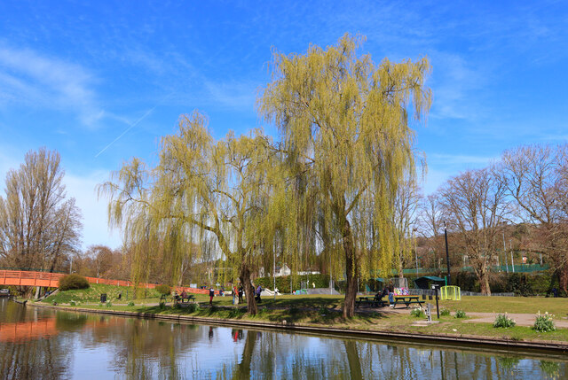
The natural beauty of the surrounding countryside makes Berkhamsted an attractive place to live and visit. The town is surrounded by picturesque landscapes, including the Ashridge Estate, a National Trust site that offers stunning views and plenty of outdoor activities.
Overall, Berkhamsted is a vibrant and historic town that offers a blend of rich heritage, modern amenities, and natural beauty, making it an appealing destination for both residents and tourists.
If you have any feedback on the listing, please let us know in the comments section below.
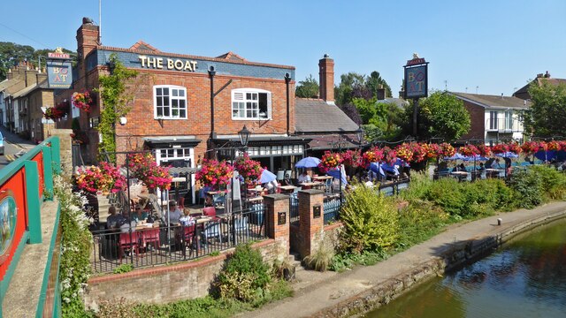
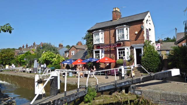
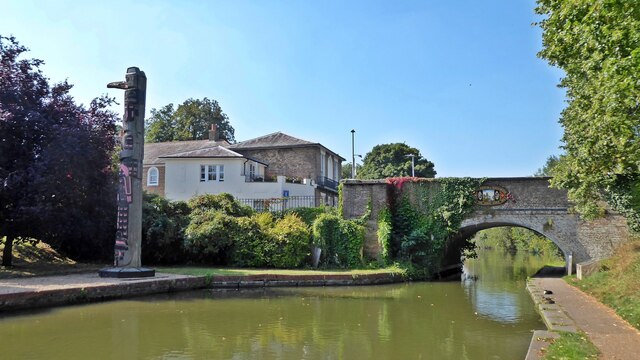
Berkhamsted Images
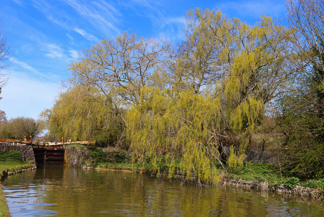
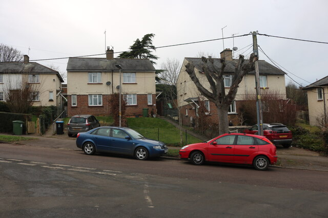
Images are sourced within 2km of 51.755593/-0.559703 or Grid Reference SP9907. Thanks to Geograph Open Source API. All images are credited.


Berkhamsted is located at Grid Ref: SP9907 (Lat: 51.755593, Lng: -0.559703)
Administrative County: Hertfordshire
District: Dacorum
Police Authority: Hertfordshire
What 3 Words
///flag.education.tent. Near Berkhamsted, Hertfordshire
Nearby Locations
Related Wikis
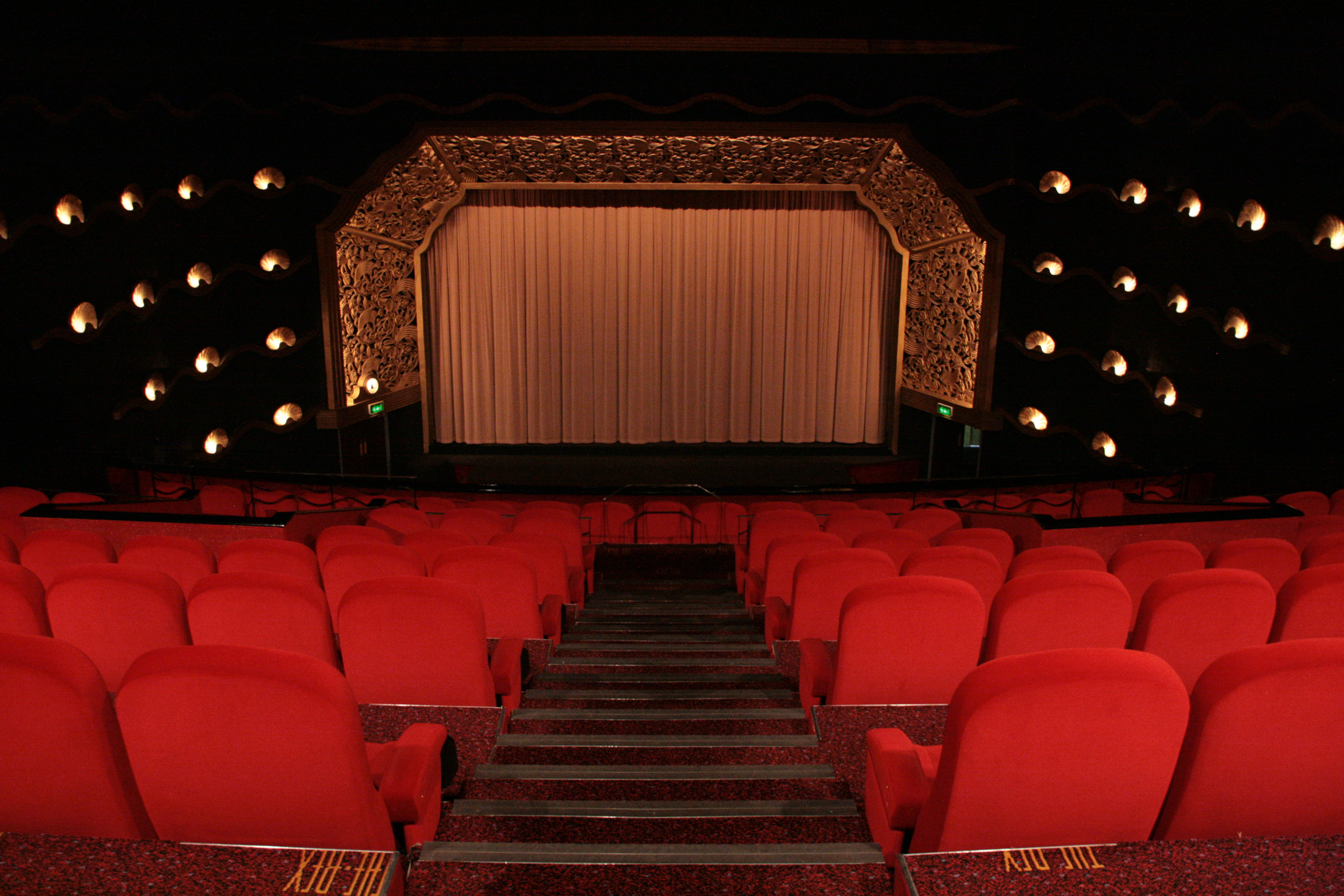
The Rex, Berkhamsted
The Rex is a cinema in the town of Berkhamsted, Hertfordshire, England. Designed in the art deco style by David Evelyn Nye in 1936, the cinema opened to...

Egerton House, Berkhamsted
Egerton House was a small Elizabethan mansion which stood on the High Street in the town of Berkhamsted, Hertfordshire in England. Built during the reign...
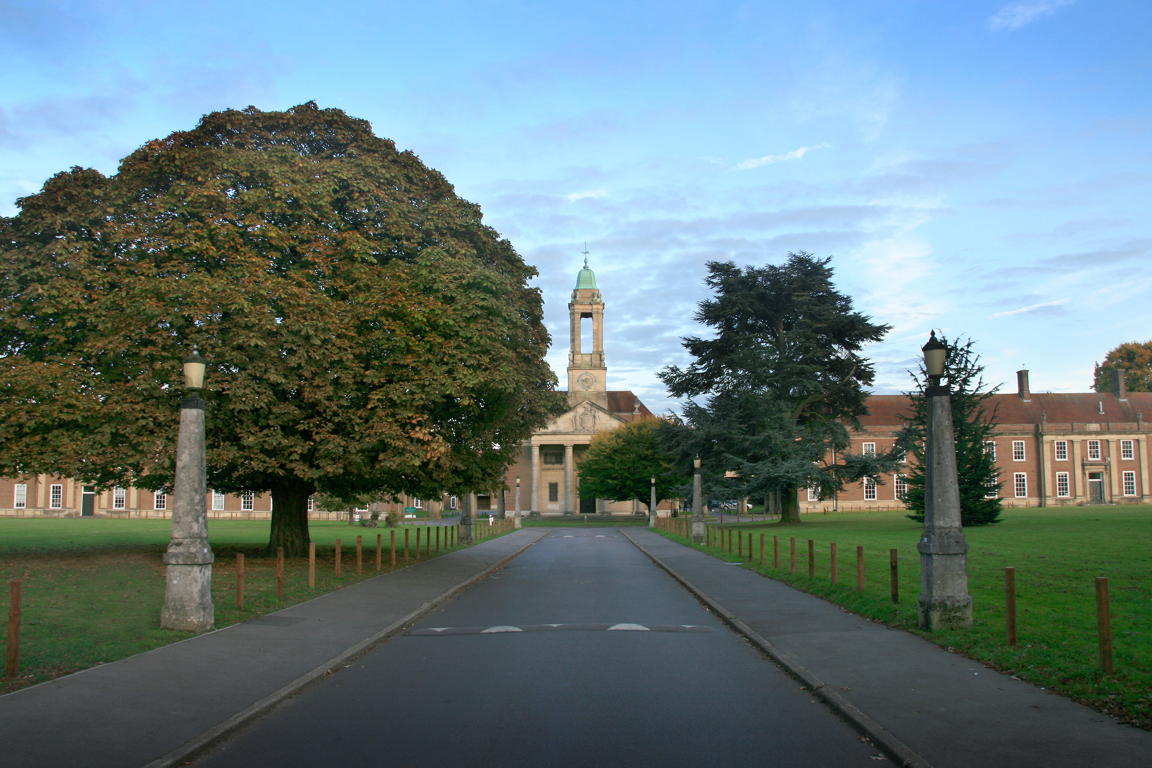
Ashlyns School
Ashlyns School is a mixed secondary school and sixth form located in Berkhamsted, Hertfordshire, England. The school was established in 1935 as the final...
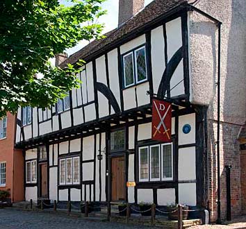
Dean Incent's House
Dean Incent's House is a 15th-century timber-framed house in Berkhamsted, Hertfordshire, England. It is reputed to be the birthplace of John Incent (c...
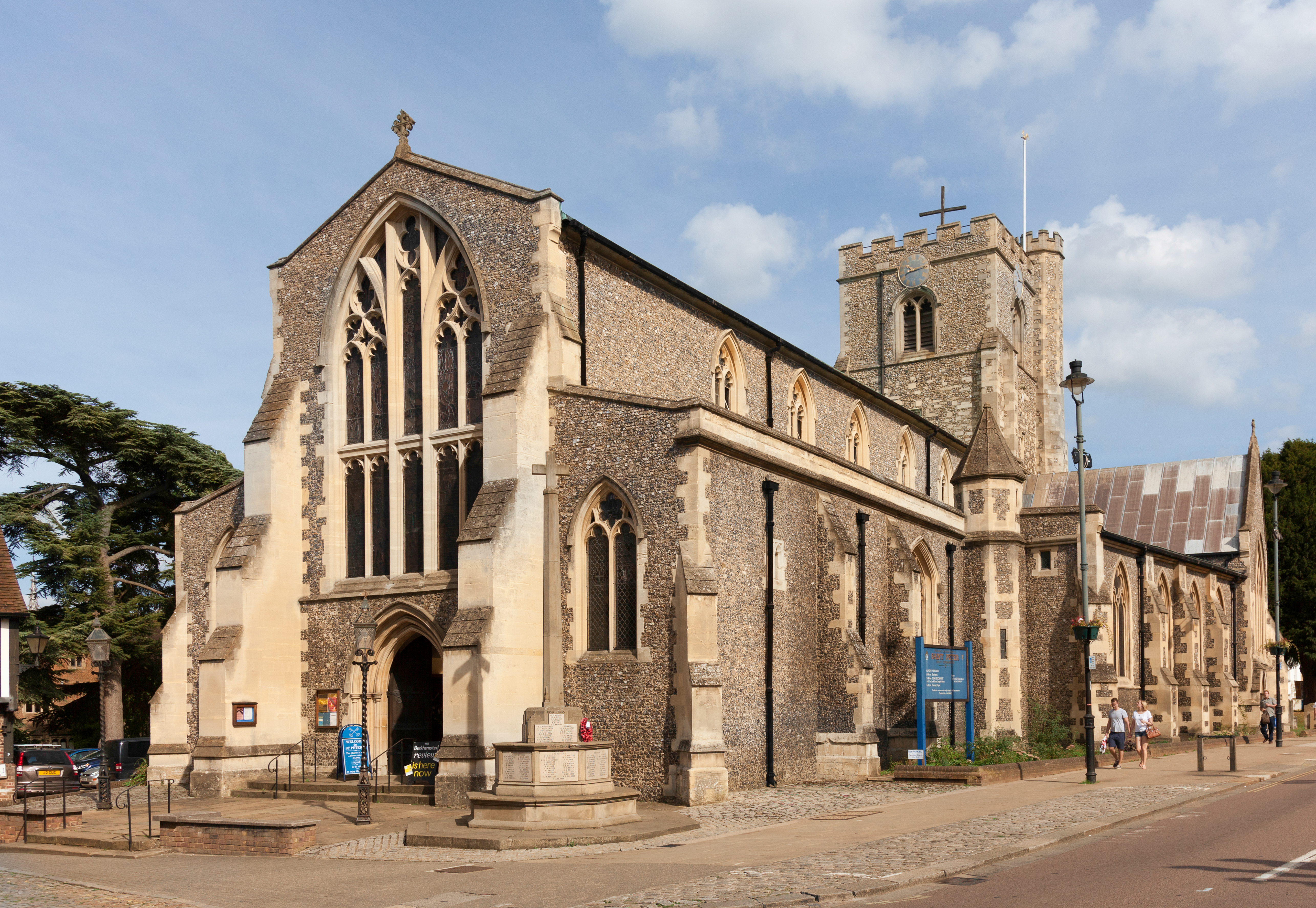
Church of St Peter, Great Berkhamsted
The Parish Church of St Peter, Great Berkhamsted, is a Church of England, Grade II* listed church in the town of Berkhamsted, Hertfordshire, in the United...
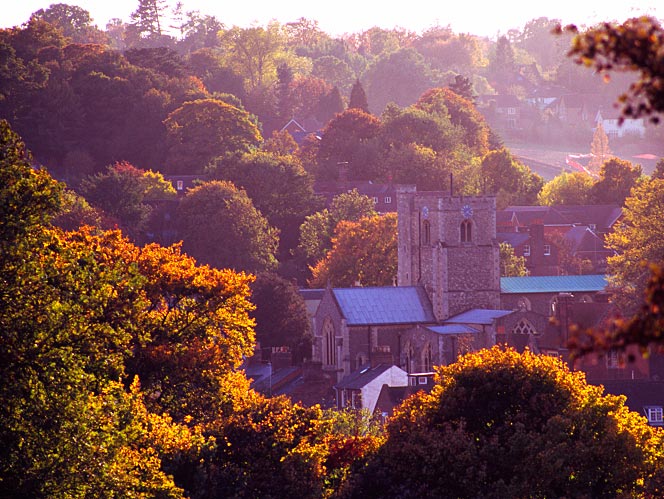
Berkhamsted
Berkhamsted ( BUR-kəm-sted) is a historic market town in Hertfordshire, England, in the Bulbourne valley, 26 miles (42 km) north-west of London. The town...
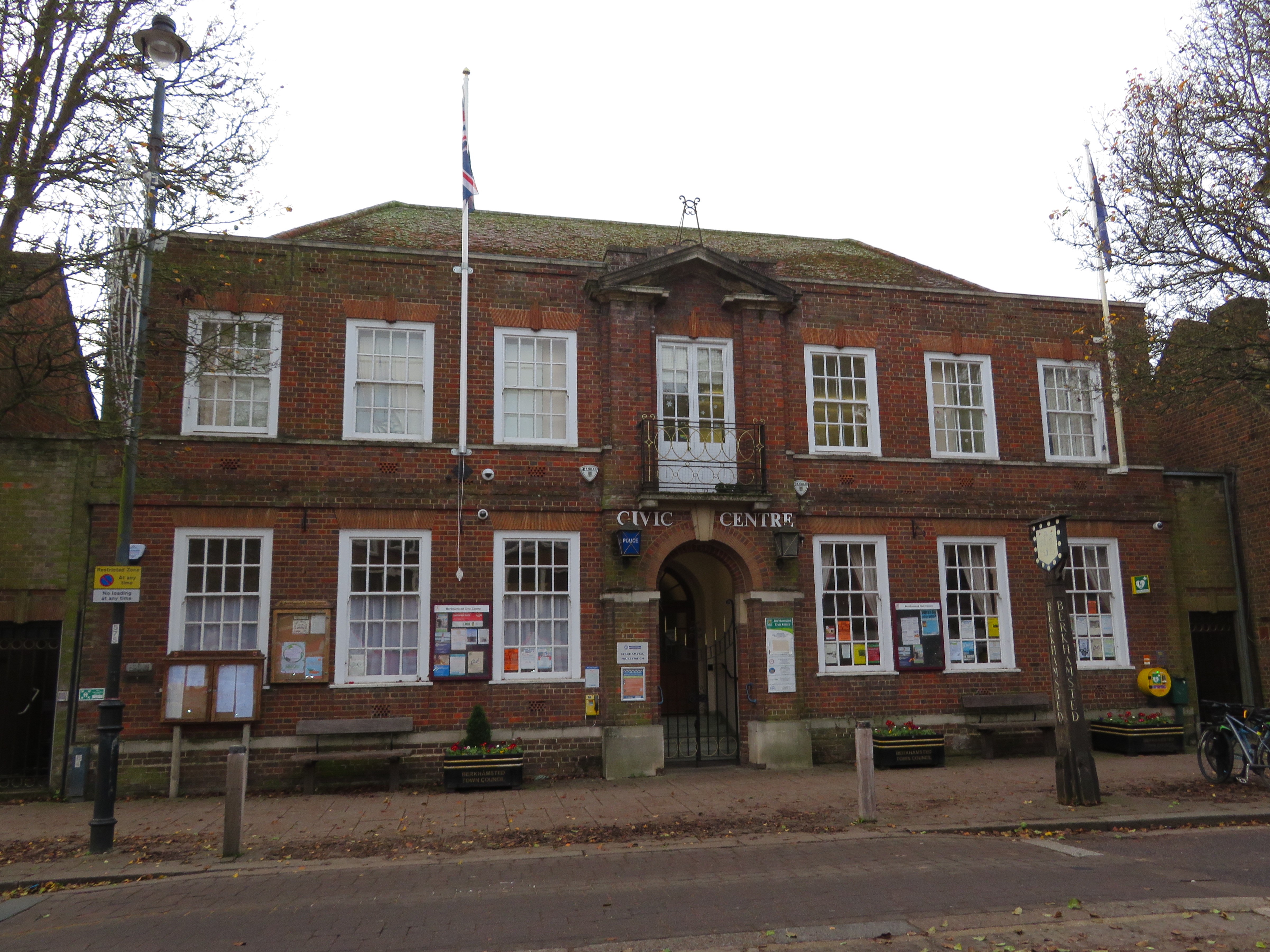
Berkhamsted Civic Centre
Berkhamsted Civic Centre is a municipal building in the High Street in Berkhamsted in Hertfordshire, England. The structure accommodates the offices and...
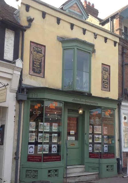
173, High Street, Berkhamsted
173, High Street, Berkhamsted, is a medieval building in Hertfordshire, England. It is considered to be the oldest extant jettied timber framed building...
Nearby Amenities
Located within 500m of 51.755593,-0.559703Have you been to Berkhamsted?
Leave your review of Berkhamsted below (or comments, questions and feedback).