Berkswich
Civil Parish in Staffordshire Stafford
England
Berkswich
Berkswich is a civil parish located in the county of Staffordshire, in the West Midlands region of England. It is situated approximately 3 miles north-west of the town of Stafford, the county town of Staffordshire. The parish covers an area of around 3.6 square miles and has a population of approximately 3,000 people.
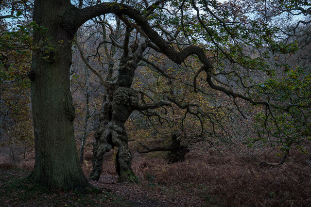
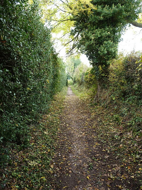
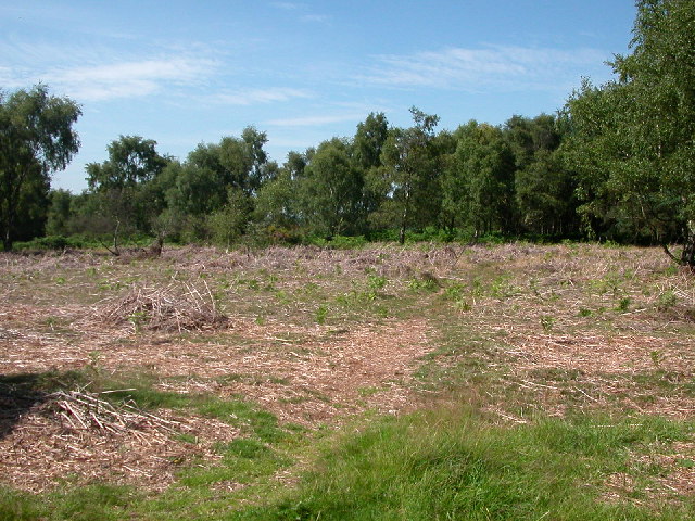
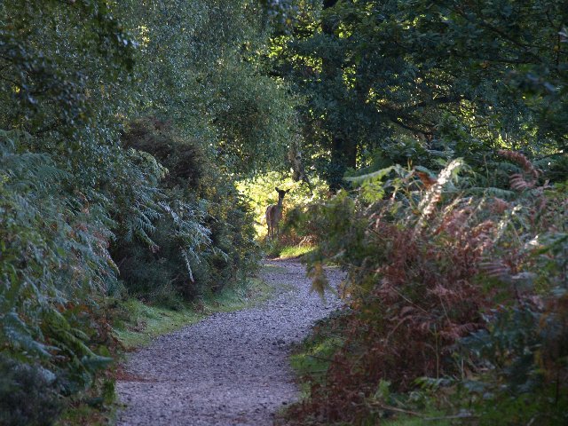
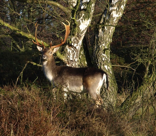
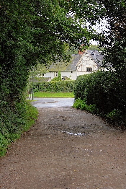
Berkswich is primarily a rural area, characterized by its picturesque landscapes and countryside charm. The parish is known for its rolling hills, green fields, and scattered woodlands, making it an attractive destination for outdoor enthusiasts, hikers, and nature lovers. The tranquil setting offers opportunities for leisurely walks and exploration of the natural surroundings.
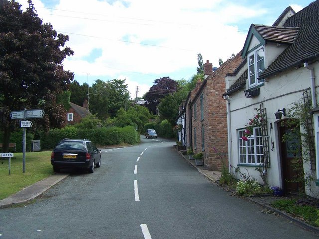
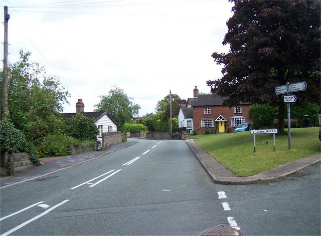
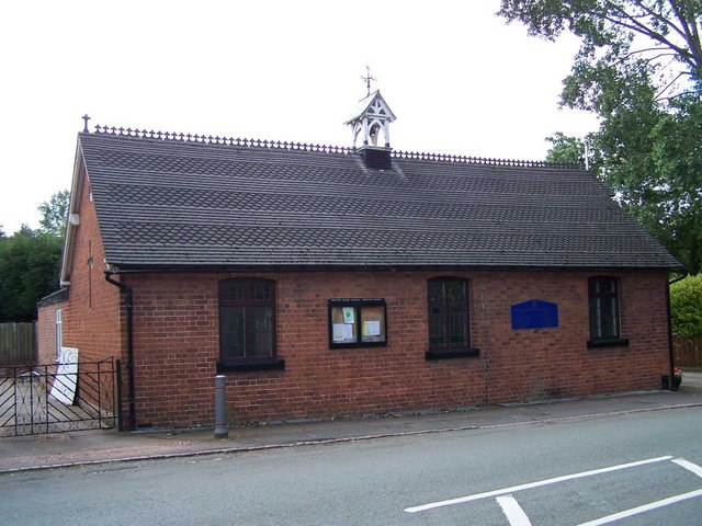
The village of Berkswich itself is a small settlement, with a mix of traditional and modern houses. It has a close-knit community, and residents benefit from various local amenities, including a primary school, a village hall, and a few shops and services. The parish is also home to several farms, contributing to the agricultural heritage of the area.
While Berkswich offers a peaceful and rural lifestyle, it benefits from its proximity to the larger town of Stafford. Residents have easy access to a wider range of amenities, including supermarkets, shopping centers, restaurants, and leisure facilities. The town also provides excellent transport links, with direct train services to major cities such as Birmingham and Manchester.
Overall, Berkswich in Staffordshire offers a charming rural setting, with a strong sense of community, access to modern amenities, and convenient transport connections to nearby urban areas.
If you have any feedback on the listing, please let us know in the comments section below.
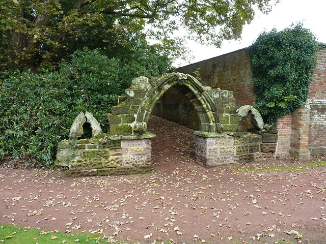
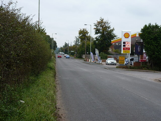
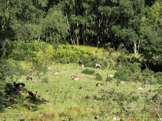
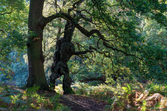
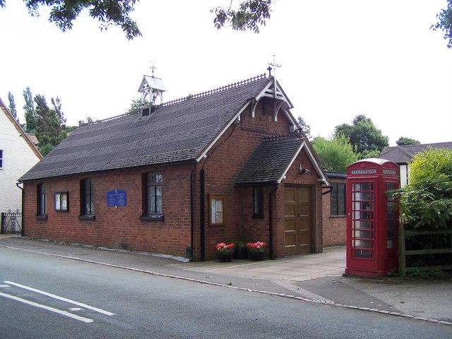
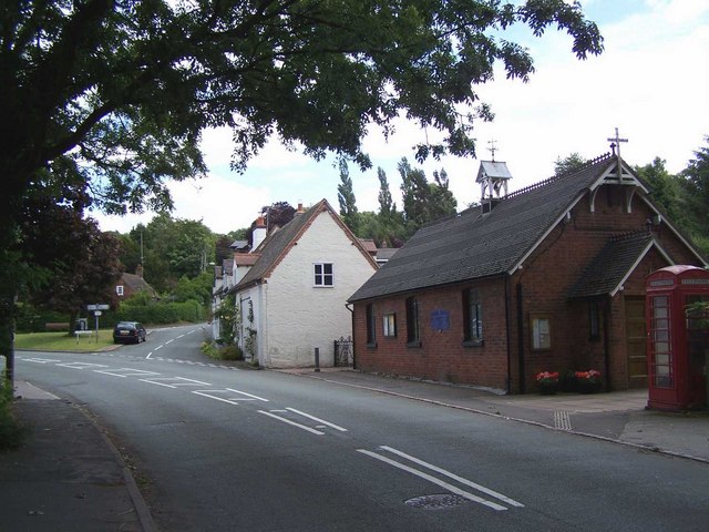
Berkswich Images
Images are sourced within 2km of 52.787145/-2.047535 or Grid Reference SJ9621. Thanks to Geograph Open Source API. All images are credited.

Berkswich is located at Grid Ref: SJ9621 (Lat: 52.787145, Lng: -2.047535)
Administrative County: Staffordshire
District: Stafford
Police Authority: Staffordshire
What 3 Words
///hobbies.crypt.glider. Near Great Haywood, Staffordshire
Nearby Locations
Related Wikis

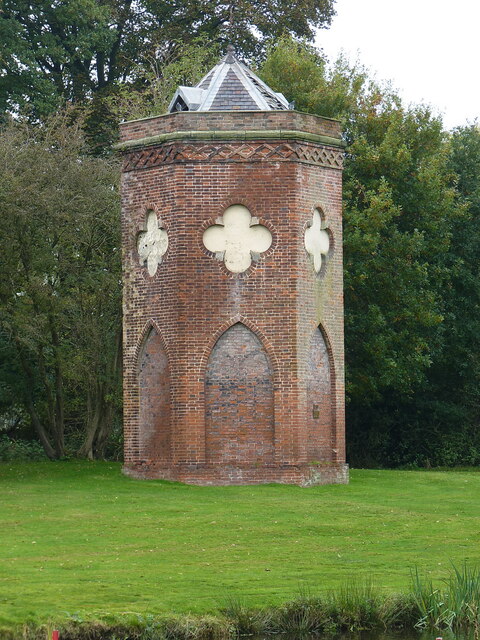
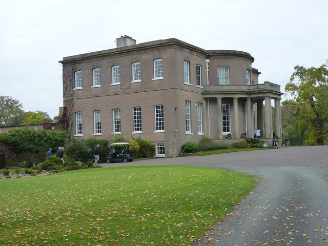
Milford Hall
Milford Hall is a privately owned 18th-century English country house at Milford, near Stafford. It is the family seat of the Levett Haszard family and...

Milford, Staffordshire
Milford is a village in the county of Staffordshire, England. It lies at the edge of Cannock Chase, on the A513 road between Stafford and Rugeley. Just...

Milford and Brocton railway station
Milford and Brocton railway station served the villages of Milford and Brocton in Staffordshire, England from 1877 to 1950 on the Trent Valley line....
Walton-on-the-Hill, Staffordshire
Walton-on-the-Hill is a village in the Borough of Stafford in Staffordshire, England. It is about 5 km east of the centre of Stafford, and lies on the...

Shugborough Tunnel
The Shugborough Tunnel is a 777-yard (710 m) railway tunnel on the Trent Valley line running under part of the Shugborough Estate in Colwich, Staffordshire...
Walton High School, Stafford
Walton High School is a large mixed secondary school and sixth form serving a community in the southern part of Stafford, England.There are approximately...

Berkswich
Berkswich ( BAHK-switch) is a civil parish in the borough of Stafford in Staffordshire, England. According to the 2001 census it had a population of 1...

Brocton, Staffordshire
Brocton is a village and civil parish in the English county of Staffordshire. It is within the borough of Stafford. The village describes itself as the...
Nearby Amenities
Located within 500m of 52.787145,-2.047535Have you been to Berkswich?
Leave your review of Berkswich below (or comments, questions and feedback).