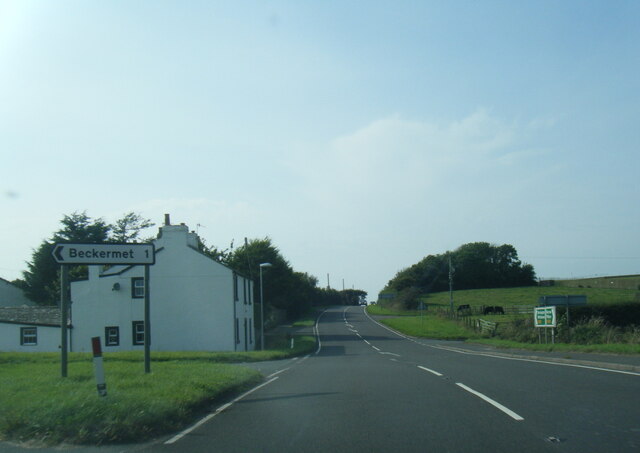
Beckermet
Civil Parish in Cumberland Copeland
England
Beckermet
Beckermet is a civil parish located in the county of Cumberland, in the northwestern part of England. It is situated in the district of Copeland, within close proximity to the Lake District National Park. The parish covers an area of approximately 18 square kilometers and is home to a population of around 1,000 residents.
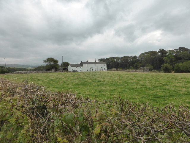
The village of Beckermet serves as the central hub of the civil parish. It is a small, rural village with a rich history dating back centuries. The architecture in Beckermet reflects its historical roots, with a mix of traditional stone buildings and more modern structures.
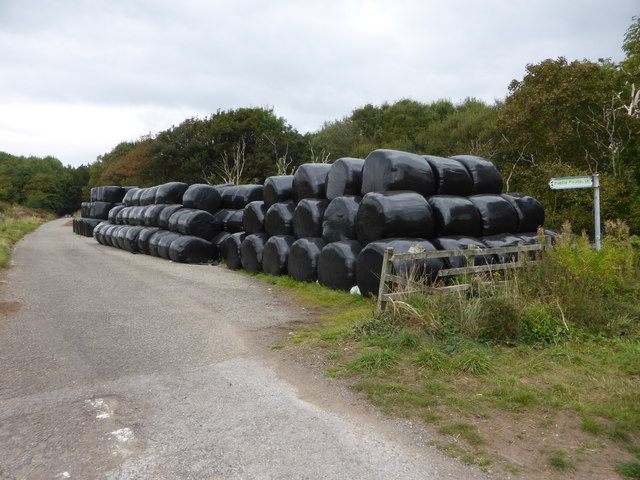
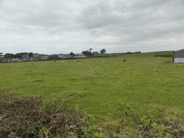
The economy of Beckermet primarily relies on agriculture, with farming and livestock playing a significant role in the local industry. The village is surrounded by farmland, and many residents are involved in agricultural activities.
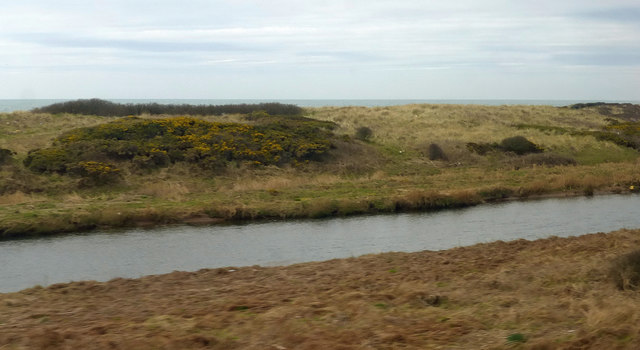
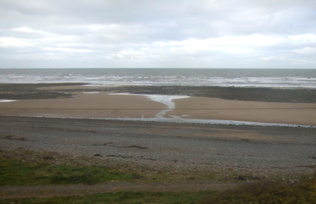
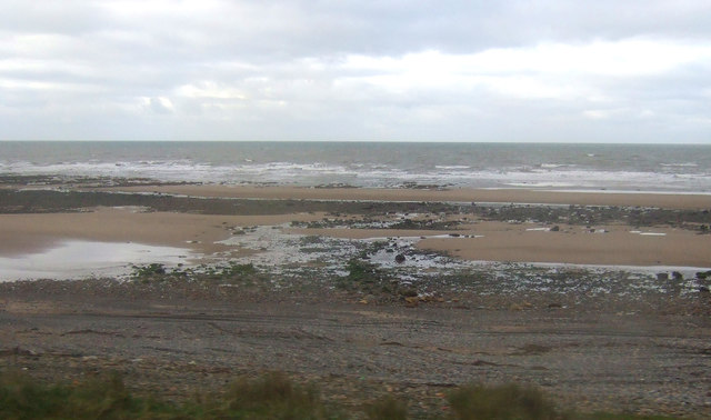
Beckermet is also known for its natural beauty. The parish is located near the coast, offering stunning views and access to nearby beaches. Additionally, its proximity to the Lake District National Park provides residents and visitors with ample opportunities for outdoor activities such as hiking, cycling, and fishing.
The village of Beckermet offers basic amenities, including a primary school, a church, a post office, and a few shops. For additional services and facilities, residents often travel to nearby towns such as Whitehaven or Egremont.
Overall, Beckermet is a small, rural parish in Cumberland that offers a peaceful and picturesque setting for its residents, with a strong connection to its agricultural heritage and access to natural beauty.
If you have any feedback on the listing, please let us know in the comments section below.
Beckermet Images
Images are sourced within 2km of 54.433612/-3.51338 or Grid Reference NY0105. Thanks to Geograph Open Source API. All images are credited.
Beckermet is located at Grid Ref: NY0105 (Lat: 54.433612, Lng: -3.51338)
Administrative County: Cumbria
District: Copeland
Police Authority: Cumbria
What 3 Words
///emulated.guessing.cube. Near Seascale, Cumbria
Nearby Locations
Related Wikis

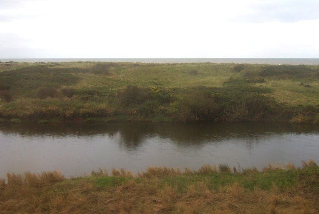
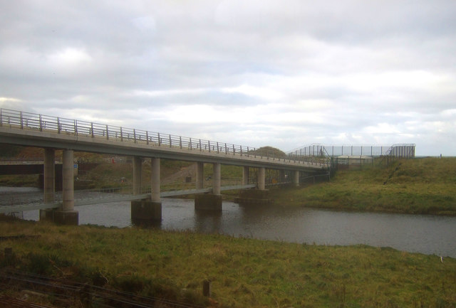
River Ehen
The River Ehen is a river in Cumbria, England. The river's source is at the west end of Ennerdale Water: it runs west through Ennerdale Bridge where it...

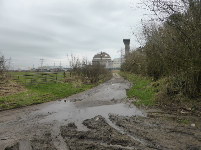
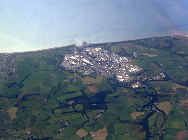
Moorside nuclear power station
Moorside nuclear power station is proposed for a site near Sellafield, in Cumbria, England. The original plan by NuGeneration, a British subsidiary of...
Moorside clean energy hub
Moorside clean energy hub is a proposal put forward on 30 June 2020 by two consortia, one led by EDF and the other by Rolls-Royce, to create an energy...

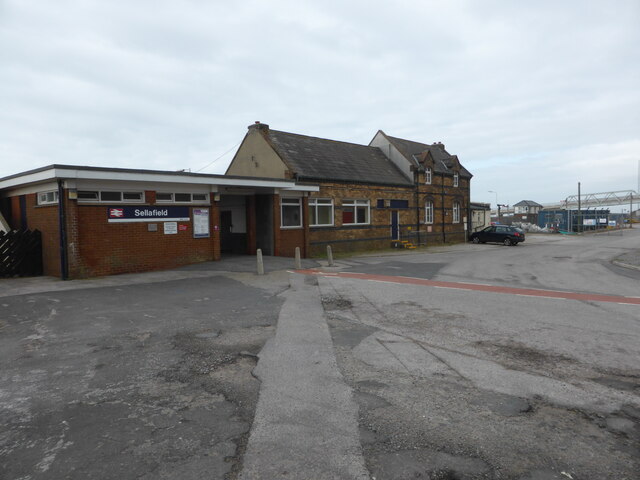
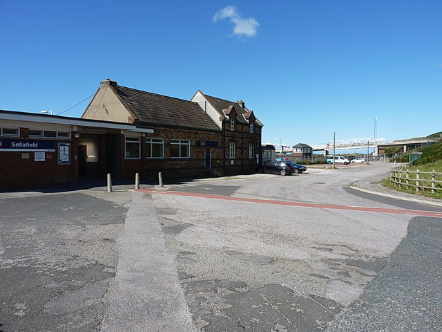
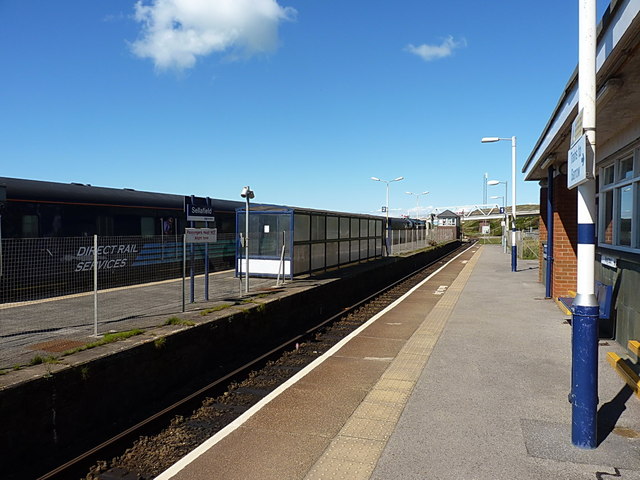
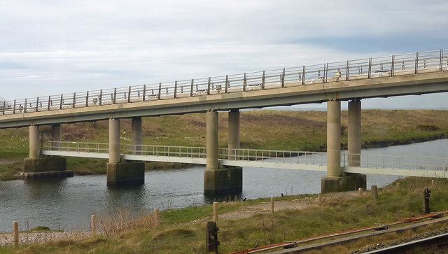
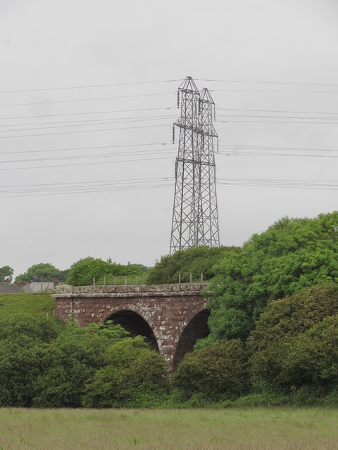
Beckermet railway station
Beckermet railway station is a disused rail station located in the village of Beckermet in Cumbria. Tracks were laid southwards from Whitehaven and Moor...

Beckermet
Beckermet is a village and civil parish in Cumbria, England, between Egremont and Seascale. The parish had a population of 1,619 in the 2011 census.Historically...

St John, Beckermet
St John, Beckermet, is in Beckermet, Cumbria, England. It is an Anglican parish church in the deanery of Calder, and the diocese of Carlisle. Its benefice...
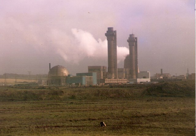
Windscale fire
The Windscale fire of 10 October 1957 was the worst nuclear accident in the United Kingdom's history, and one of the worst in the world, ranked in severity...

Windscale Piles
The Windscale Piles were two air-cooled graphite-moderated nuclear reactors on the Windscale nuclear site in Cumberland (now known as Sellafield site,...
Nearby Amenities
Located within 500m of 54.433612,-3.51338Have you been to Beckermet?
Leave your review of Beckermet below (or comments, questions and feedback).