Church Moss
Downs, Moorland in Cumberland Copeland
England
Church Moss
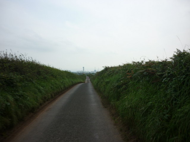
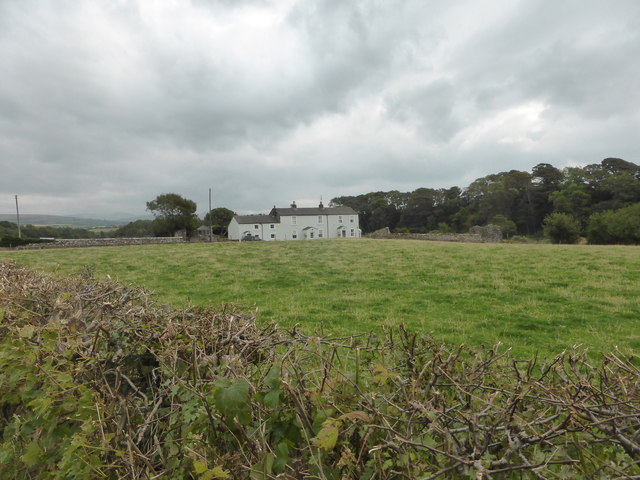
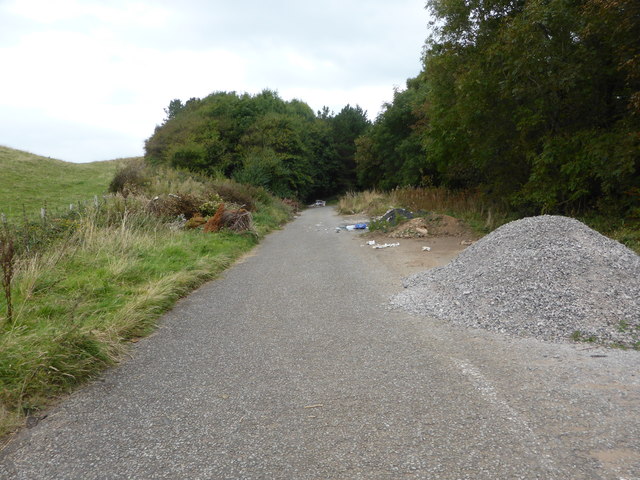
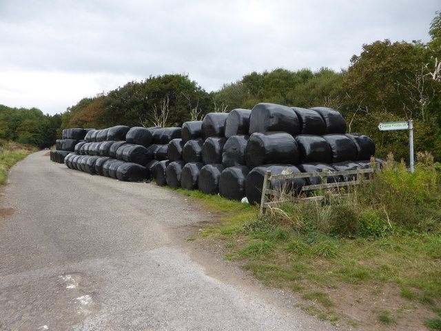
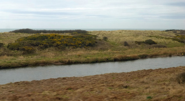
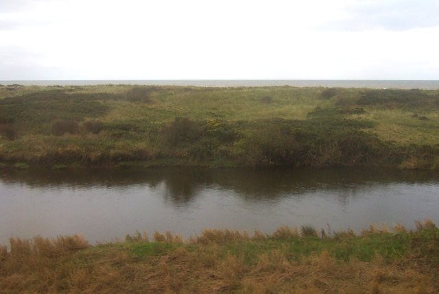
Church Moss is a vast area of moorland located in Cumberland, England. Stretching across several acres, it is situated amidst the picturesque landscape of the county. The moss is characterized by its undulating terrain, with gentle slopes and rolling hills covered in a thick carpet of vibrant green mosses, grasses, and heather.
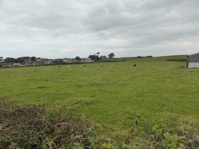
The area is known for its tranquil and remote ambiance, offering visitors a serene retreat away from the bustling city life. The moss is dotted with numerous small streams and ponds, providing a habitat for various species of water-loving plants and wildlife.
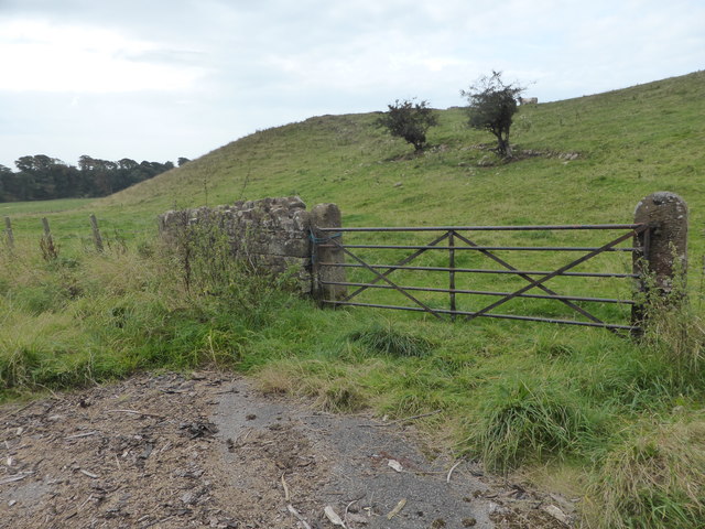
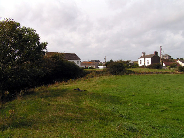
Church Moss derives its name from the presence of a small church located at its edge. This quaint church, dating back several centuries, adds a touch of historical charm to the landscape. The surrounding area is scattered with ancient stone walls, remnants of old settlements, and burial mounds, indicating a rich human history.
The moss is a popular destination for hikers, nature enthusiasts, and birdwatchers. It offers breathtaking panoramic views of the surrounding countryside and is home to a diverse range of bird species, including merlins, curlews, and red grouse. These avian inhabitants make Church Moss an ideal location for birdwatching, drawing enthusiasts from far and wide.
Visitors to Church Moss can enjoy leisurely walks along its well-maintained trails, taking in the sights and sounds of nature. The moss provides a unique opportunity to immerse oneself in the tranquility of the moorland, appreciating its natural beauty and experiencing a sense of peace and serenity.
If you have any feedback on the listing, please let us know in the comments section below.
Church Moss Images
Images are sourced within 2km of 54.436973/-3.5187157 or Grid Reference NY0105. Thanks to Geograph Open Source API. All images are credited.


Church Moss is located at Grid Ref: NY0105 (Lat: 54.436973, Lng: -3.5187157)
Administrative County: Cumbria
District: Copeland
Police Authority: Cumbria
What 3 Words
///spoon.rotations.robots. Near Egremont, Cumbria
Nearby Locations
Related Wikis

River Ehen
The River Ehen is a river in Cumbria, England. The river's source is at the west end of Ennerdale Water: it runs west through Ennerdale Bridge where it...

Beckermet railway station
Beckermet railway station is a disused rail station located in the village of Beckermet in Cumbria. Tracks were laid southwards from Whitehaven and Moor...

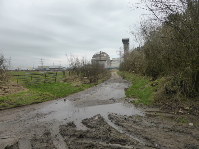
Moorside nuclear power station
Moorside nuclear power station is proposed for a site near Sellafield, in Cumbria, England. The original plan by NuGeneration, a British subsidiary of...
Moorside clean energy hub
Moorside clean energy hub is a proposal put forward on 30 June 2020 by two consortia, one led by EDF and the other by Rolls-Royce, to create an energy...

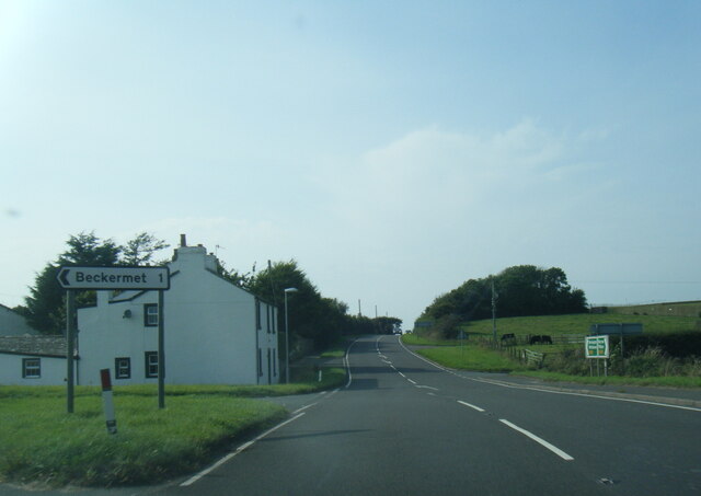
Beckermet
Beckermet is a village and civil parish in Cumbria, England, between Egremont and Seascale. The parish had a population of 1,619 in the 2011 census.Historically...

St John, Beckermet
St John, Beckermet, is in Beckermet, Cumbria, England. It is an Anglican parish church in the deanery of Calder, and the diocese of Carlisle. Its benefice...

Braystones railway station
Braystones is a railway station on the Cumbrian Coast Line, which runs between Carlisle and Barrow-in-Furness. The station, situated 37 miles (60 km) north...
Braystones
Braystones is a village in Cumbria, England, historically within Cumberland. It is located on the Irish Sea coast, on edge of the Lake District National...
Related Videos
Braystones. Walking the coastal path whilst on our motorhome adventure
Walking south along the coastal Path towards Braystones whilst on our Motorhome adventure. The weather was changeable but ...

The Tree House Cumbria Garden Walk
The holiday cottage has a wonderful garden with three areas to relax or for pets and children to explore.

The Tree House Cumbria walk down the Garden
A short walk up the garden of this unique holiday cottage.

Vintage footage of my family in the 1960s/ 1970s in West Cumbria/ the Lake District, UK
Some vintage footage of my family from the 1960s and 1970s (West Cumbria/ the Lake District, UK). Originally filmed on a ...
Nearby Amenities
Located within 500m of 54.436973,-3.5187157Have you been to Church Moss?
Leave your review of Church Moss below (or comments, questions and feedback).