Beckford

Civil Parish in Gloucestershire Wychavon

England

Beckford

Field edge near Ashton under Hill Looking towards Dumbleton Hill.
Field edge near Ashton under Hill Credit: Jonathan Thacker

Beckford is a civil parish located in the county of Gloucestershire, England. Situated on the northern edge of the Cotswolds, it covers an area of approximately 10 square kilometers. The village of Beckford is the main settlement within the parish and is home to a population of around 1,000 residents.

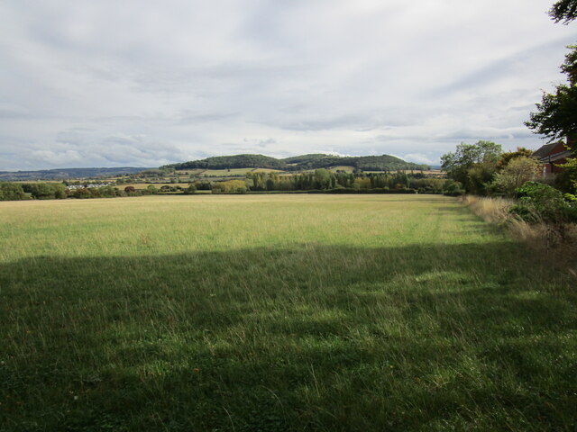
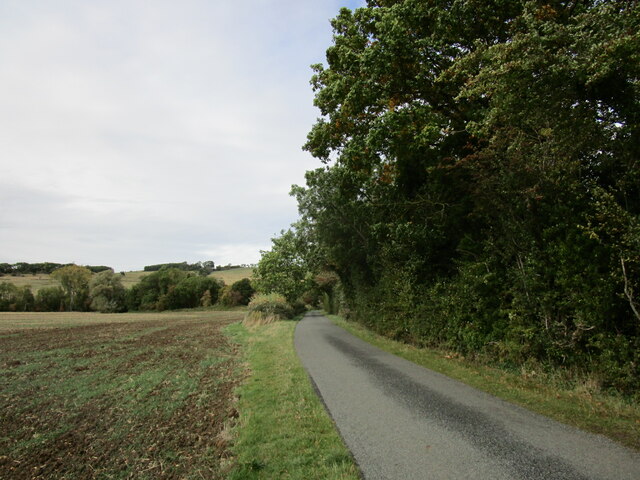
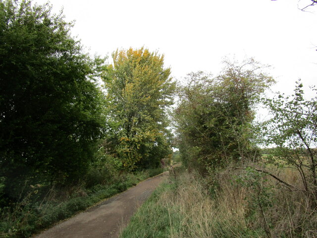
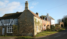
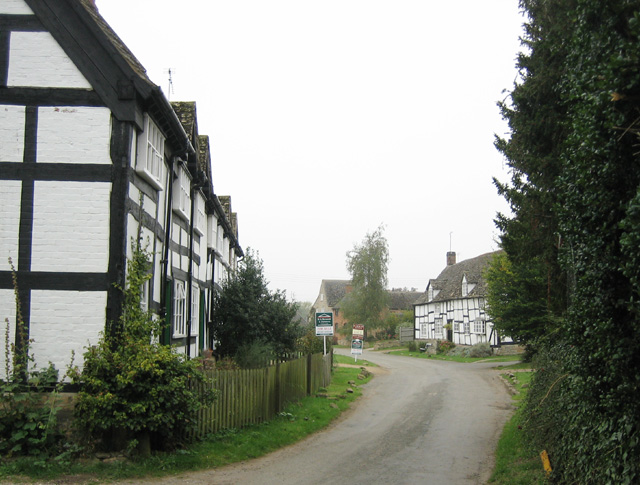
The village is known for its picturesque setting, surrounded by rolling hills and farmland. It is located just off the A46 road, providing easy access to nearby towns and cities such as Evesham, Tewkesbury, and Cheltenham. The River Isbourne flows through the parish, adding to its natural beauty.

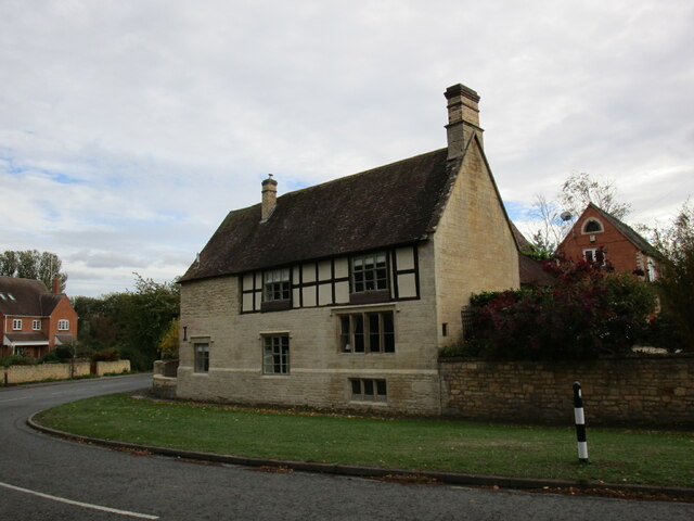
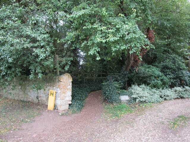
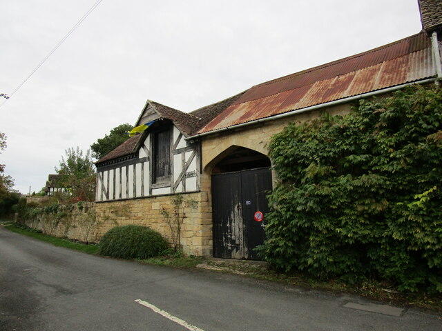
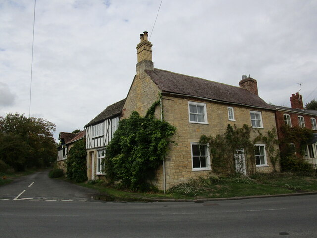
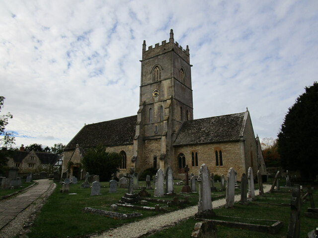
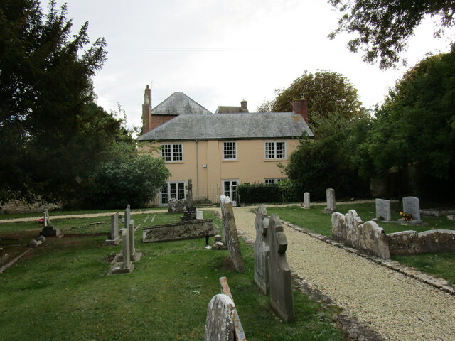
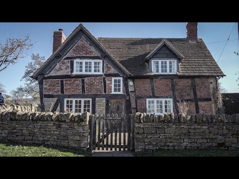
Beckford has a rich history, with evidence of human habitation dating back to the Iron Age. The village grew in importance during the medieval period, becoming a center for agriculture and trade. Today, it retains much of its historic charm, with several listed buildings and a Grade I listed church, St. John the Baptist.

The village has a range of amenities to cater to the needs of its residents and visitors. These include a primary school, a village hall, a post office, and a convenience store. There are also several pubs and restaurants, offering a variety of dining options.

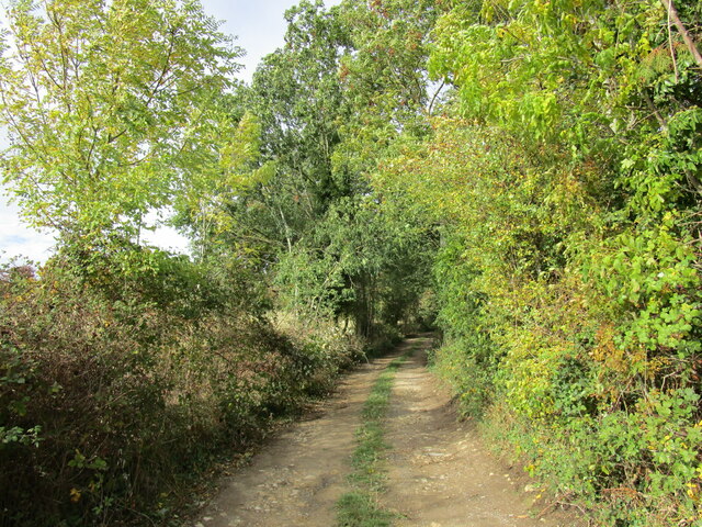
Beckford is a popular destination for outdoor enthusiasts, with numerous walking and cycling routes in the surrounding countryside. The nearby Bredon Hill provides stunning views of the area and is a popular spot for hiking.

Overall, Beckford offers a peaceful and picturesque setting, steeped in history and surrounded by natural beauty.

If you have any feedback on the listing, please let us know in the comments section below.
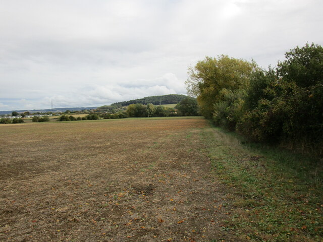
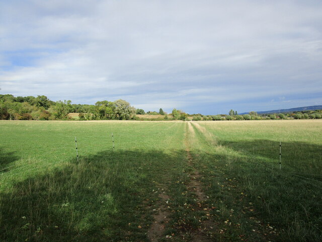
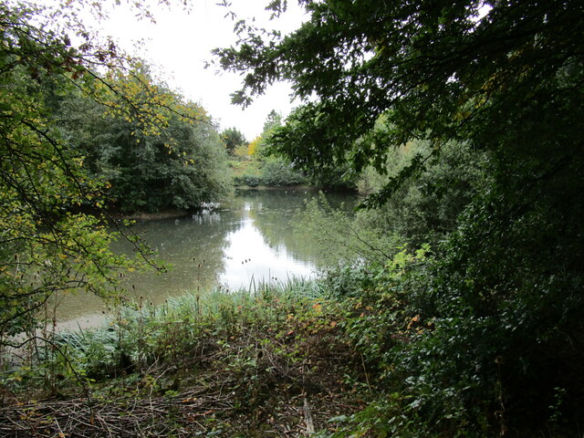
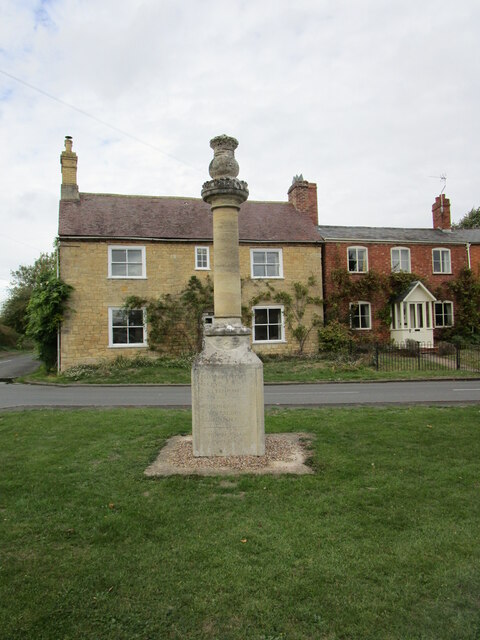
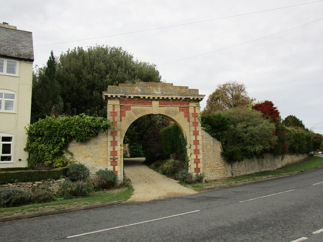
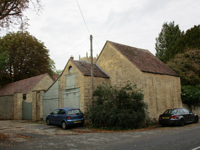
Beckford Images

Images are sourced within 2km of 52.024938/-2.032265 or Grid Reference SO9736. Thanks to Geograph Open Source API. All images are credited.

Field edge near Ashton under Hill Looking towards Dumbleton Hill.
Field edge near Ashton under Hill
Looking towards Dumbleton Hill.
Footpath to Ashton under Hill
Harrowed field near Grafton
Flooded pit near Beckford Now part of a nature reserve.
Flooded pit near Beckford
Now part of a nature reserve.
The Old House, Beckford Dates from the sixteenth century <span class="nowrap"><a title="https://historicengland.org.uk/listing/the-list/list-entry/1349950?section=official-list-entry" rel="nofollow ugc noopener" href="https://historicengland.org.uk/listing/the-list/list-entry/1349950?section=official-list-entry">Link</a><img style="margin-left:2px;" alt="External link" title="External link - shift click to open in new window" src="https://s1.geograph.org.uk/img/external.png" width="10" height="10"/></span>
The Old House, Beckford
Dates from the sixteenth century LinkExternal link
Footpath at Grafton
Footpath at Grafton
Grass field at Grafton Dumbleton Hill in the distance.
Grass field at Grafton
Dumbleton Hill in the distance.
Lane to Grafton
Lane to Grafton
Nest holes in low cliiff, Beckford Nature Reserve Most likely the nest holes of sand martins.
Nest holes in low cliiff, Beckford Nature Reserve
Most likely the nest holes of sand martins.
Roadway to Court Farm, Beckford
Footpath to the church, Beckford
Outbuildings, Cross House, Beckford
Cross House, Beckford
Milepost at Beckford Dated 1887 <span class="nowrap"><a title="https://historicengland.org.uk/listing/the-list/list-entry/1296922?section=official-list-entry" rel="nofollow ugc noopener" href="https://historicengland.org.uk/listing/the-list/list-entry/1296922?section=official-list-entry">Link</a><img style="margin-left:2px;" alt="External link" title="External link - shift click to open in new window" src="https://s1.geograph.org.uk/img/external.png" width="10" height="10"/></span>
Milepost at Beckford
Dated 1887 LinkExternal link
Gateway to The Grange, Beckford Dates from about 1865.
Gateway to The Grange, Beckford
Dates from about 1865.
Outhouses to The Old Rectory, Beckford
Church of St John the Baptist, Beckford The oldest parts date to c1130 but most of what is visible here is from the fourteenth to seventeenth centuries <span class="nowrap"><a title="https://historicengland.org.uk/listing/the-list/list-entry/1167374?section=official-list-entry" rel="nofollow ugc noopener" href="https://historicengland.org.uk/listing/the-list/list-entry/1167374?section=official-list-entry">Link</a><img style="margin-left:2px;" alt="External link" title="External link - shift click to open in new window" src="https://s1.geograph.org.uk/img/external.png" width="10" height="10"/></span>
Church of St John the Baptist, Beckford
The oldest parts date to c1130 but most of what is visible here is from the fourteenth to seventeenth centuries LinkExternal link
The Old Rectory, Beckford The older part of the house facing the churchyard dates from the mid eighteenth century <span class="nowrap"><a title="https://historicengland.org.uk/listing/the-list/list-entry/1296917?section=official-list-entry" rel="nofollow ugc noopener" href="https://historicengland.org.uk/listing/the-list/list-entry/1296917?section=official-list-entry">Link</a><img style="margin-left:2px;" alt="External link" title="External link - shift click to open in new window" src="https://s1.geograph.org.uk/img/external.png" width="10" height="10"/></span>
The Old Rectory, Beckford
The older part of the house facing the churchyard dates from the mid eighteenth century LinkExternal link
Show me another place!

Beckford is located at Grid Ref: SO9736 (Lat: 52.024938, Lng: -2.032265)

Administrative County: Worcestershire

District: Wychavon

Police Authority: West Mercia

What 3 Words

///parkland.pockets.incoming. Near Bredon, Worcestershire

Nearby Locations

Beckford

Related Wikis

Related Videos

Midday Walk in the Smallest Village so far | English Countryside

Out and about Walking in Great Washbourne So, for today's walk we are in the village of Great Washbourne on a weekday around ...

Gone Walkabout - Walk 1,000 Miles - Day Twenty-Four - 773 Miles To Go - Tim Goes Around A Hill

Twenty-Fourth day of the Walk 1000 Miles 2021 Challenge. Today's walk took me from Ashton-Under-Hill up to Bredon Hill, with ...

Nearby Amenities

Located within 500m of 52.024938,-2.032265
Bus Stop
Church
Bus: yes
Naptan AtcoCode: 2000G082500
Naptan Bearing: NE
Naptan CommonName: Church
Naptan Indicator: Adj
Naptan Landmark: Church
Naptan NaptanCode: wocdgjta
Naptan Street: Main Street
Naptan Verified: no
Note: Position corrected June 2015.
Public Transport: platform
Source: naptan_import
Lat/Long: 52.0207169/-2.0345983
Low Cedar
Naptan AtcoCode: 2000G323215
Naptan Bearing: NE
Naptan BusStopType: CUS
Naptan CommonName: Low Cedar
Naptan Indicator: opp
Naptan NaptanCode: wocdmada
Naptan Verified: no
Source: naptan_import
Lat/Long: 52.0247944/-2.0323118
Low Cedar
Naptan AtcoCode: 2000G323218
Naptan Bearing: SW
Naptan BusStopType: CUS
Naptan CommonName: Low Cedar
Naptan NaptanCode: wocdmadm
Naptan Verified: no
Source: naptan_import
Lat/Long: 52.0246775/-2.0321805
Court Farm
Place: locality
Source: Bing
Source Name: definitive_statement
Lat/Long: 52.0250889/-2.0372078
Cafe
Lat/Long: 52.023246/-2.0312243
HE Ref: 148499
Addr Locality: Beckford
Barrier: gate_pier
Heritage: 2
Heritage Operator: Historic England
Listed Status: Grade II
Note: Location given by English Heritage incorrect.
Source Listed Status: English Heritage
Lat/Long: 52.0207172/-2.0347743
Bench
Lat/Long: 52.0225924/-2.0355514
Bench
Lat/Long: 52.0226484/-2.036039
Public Bookcase
Defibrillator
Access: yes
Booth: K6
Colour: red
Defibrillator Location: inside old red phone box (now used as book exchange) next to church in Beckford
Disused Amenity: telephone
Emergency: defibrillator
Man Made: telephone_box
Public Bookcase Type: phone_box
Lat/Long: 52.0207109/-2.0346803
Waste Basket
Waste: dog_excrement
Lat/Long: 52.0227368/-2.0368544
Barrier: kissing_gate
Lat/Long: 52.0227651/-2.0368836
Beckford East
Power: pole
Transformer: distribution
Voltage Primary: 11000
Lat/Long: 52.0216799/-2.0284662
Beckford Silk
Power: pole
Transformer: distribution
Voltage Primary: 11000
Lat/Long: 52.0225753/-2.0310625
Power: pole
Lat/Long: 52.0220141/-2.0308386
Power: pole
Lat/Long: 52.0214133/-2.0305918
Power: pole
Lat/Long: 52.0206392/-2.0302606
Power: pole
Lat/Long: 52.0210997/-2.0294707
Beckford Court Farm
Power: pole
Transformer: distribution
Voltage Primary: 11000
Lat/Long: 52.0247976/-2.0375723
Beckford Hall
Power: pole
Transformer: distribution
Voltage Primary: 11000
Lat/Long: 52.0219543/-2.0377164
Power: pole
Lat/Long: 52.022803/-2.0379739
Power: pole
Lat/Long: 52.0236984/-2.0382415
Power: pole
Lat/Long: 52.0248174/-2.0384426
Ashton Road Beckford
Power: pole
Transformer: distribution
Voltage Primary: 11000
Lat/Long: 52.0253695/-2.0265115
Power: pole
Lat/Long: 52.0256034/-2.0257846
Power: pole
Lat/Long: 52.0259983/-2.0252911
Power: pole
Lat/Long: 52.0266081/-2.0257887
Power: pole
Lat/Long: 52.0270153/-2.0261501
The Orchards Cottage
Power: pole
Transformer: distribution
Voltage Primary: 11000
Lat/Long: 52.0274531/-2.0264639
The data included in this document is from www.openstreetmap.org. The data is made available under ODbL.

Have you been to Beckford?

Leave your review of Beckford below (or comments, questions and feedback).