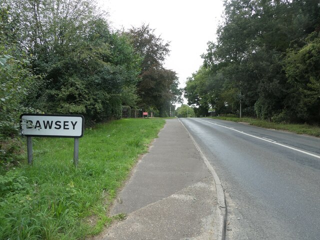
Bawsey
Civil Parish in Norfolk King's Lynn and West Norfolk
England
Bawsey
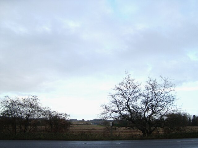
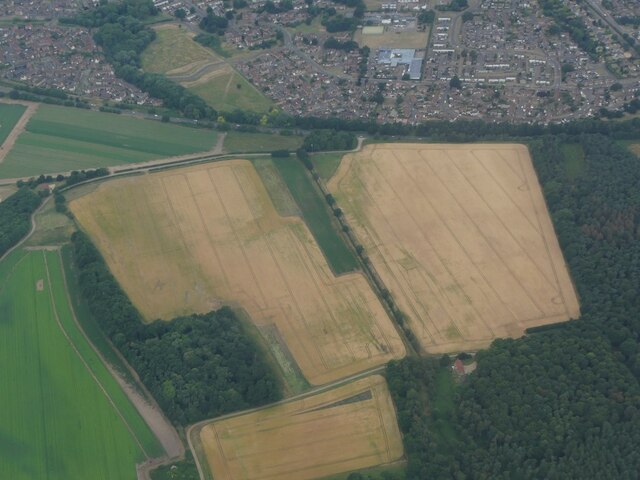
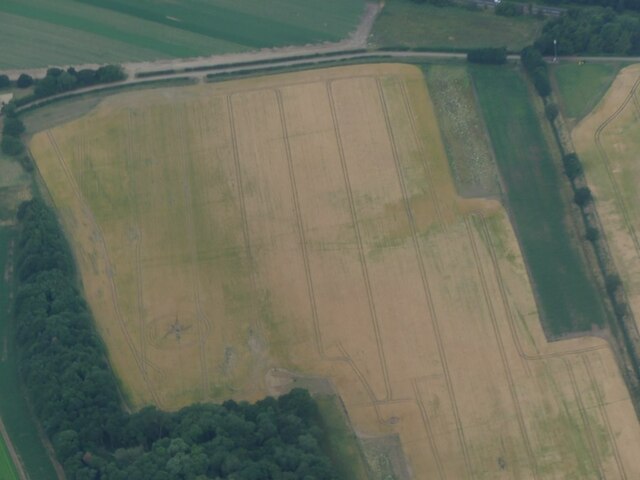
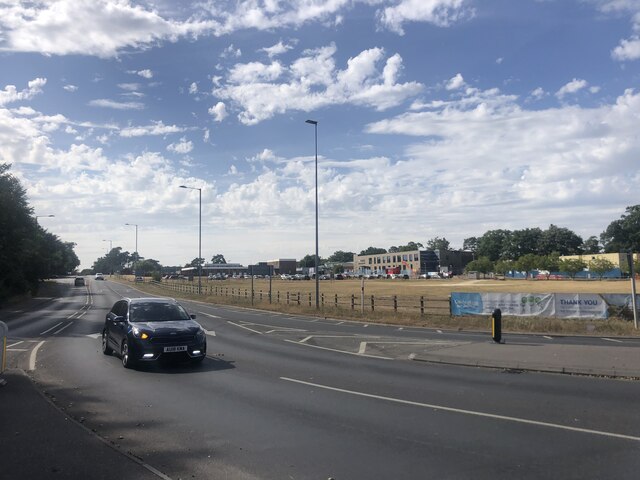
Bawsey is a small civil parish located in the county of Norfolk, England. It is situated approximately 3 miles northeast of the town of King's Lynn and covers an area of around 3.5 square miles. The parish is predominantly rural, characterized by open fields, farmland, and a few scattered residential properties.
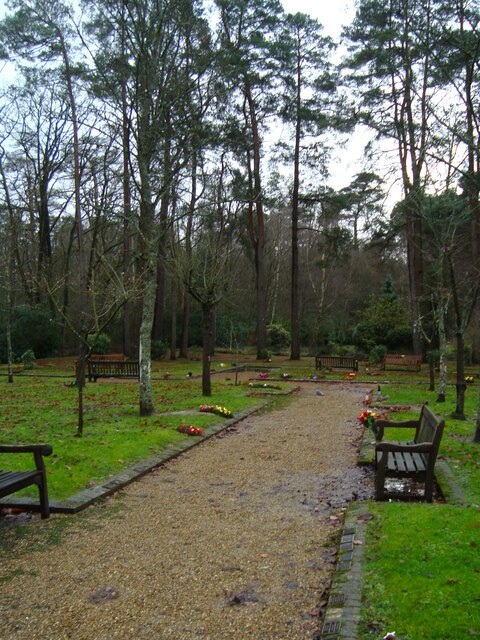
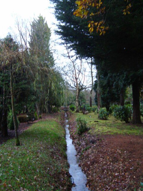
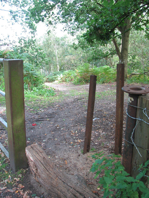
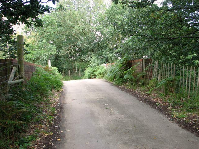
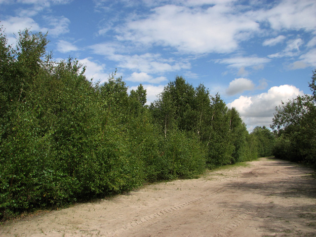
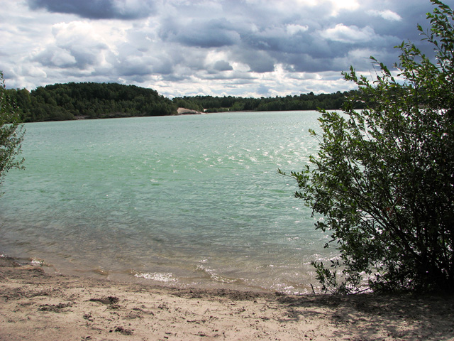
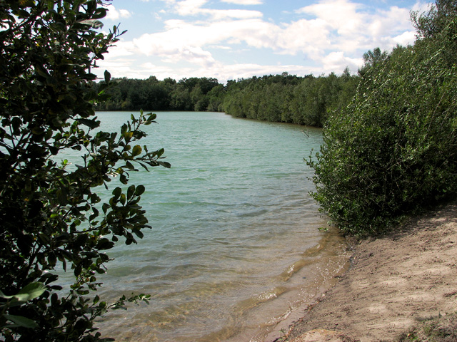
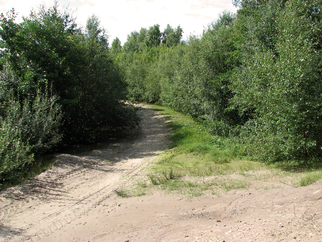
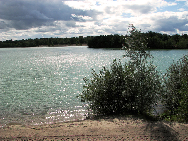
One of the notable features of Bawsey is Bawsey Pits, a former sand and gravel quarry that has now been transformed into a recreational area. The pits are surrounded by woodland and provide opportunities for walking, birdwatching, and fishing. The site also includes a picnic area and a small lake, making it a popular spot for families and nature enthusiasts.
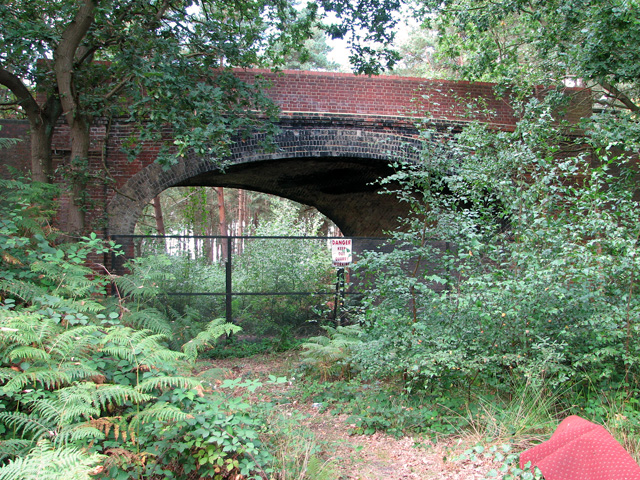
The history of Bawsey dates back to the medieval era, and evidence of this can be seen in the ruins of the Bawsey Deserted Medieval Village. This archaeological site offers a glimpse into the past, with the remains of houses, a church, and other structures providing insights into the lives of the villagers who once lived there.
In terms of amenities, Bawsey has limited facilities. There are no shops or pubs within the parish, and the nearest amenities can be found in nearby King's Lynn. However, its rural setting and proximity to natural attractions make it an appealing destination for those seeking tranquility and outdoor activities.
Overall, Bawsey is a small, rural parish in Norfolk, known for its historical significance, natural beauty, and recreational opportunities.
If you have any feedback on the listing, please let us know in the comments section below.
Bawsey Images
Images are sourced within 2km of 52.747699/0.464713 or Grid Reference TF6619. Thanks to Geograph Open Source API. All images are credited.

Bawsey is located at Grid Ref: TF6619 (Lat: 52.747699, Lng: 0.464713)
Administrative County: Norfolk
District: King's Lynn and West Norfolk
Police Authority: Norfolk
What 3 Words
///galaxies.composed.unloading. Near King's Lynn, Norfolk
Related Wikis

Gayton Road railway station
Gayton Road railway station was a station in Norfolk, located close to King's Lynn on the Midland and Great Northern Joint Railway. == History == The station...
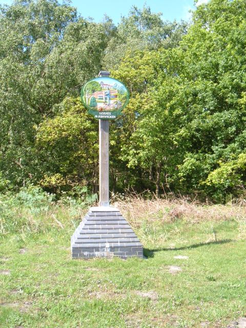
Leziate
Leziate is a village and civil parish in the English county of Norfolk. The village is 44 miles (71 km) west of Norwich, 5.7 miles (9.2 km) east of King...
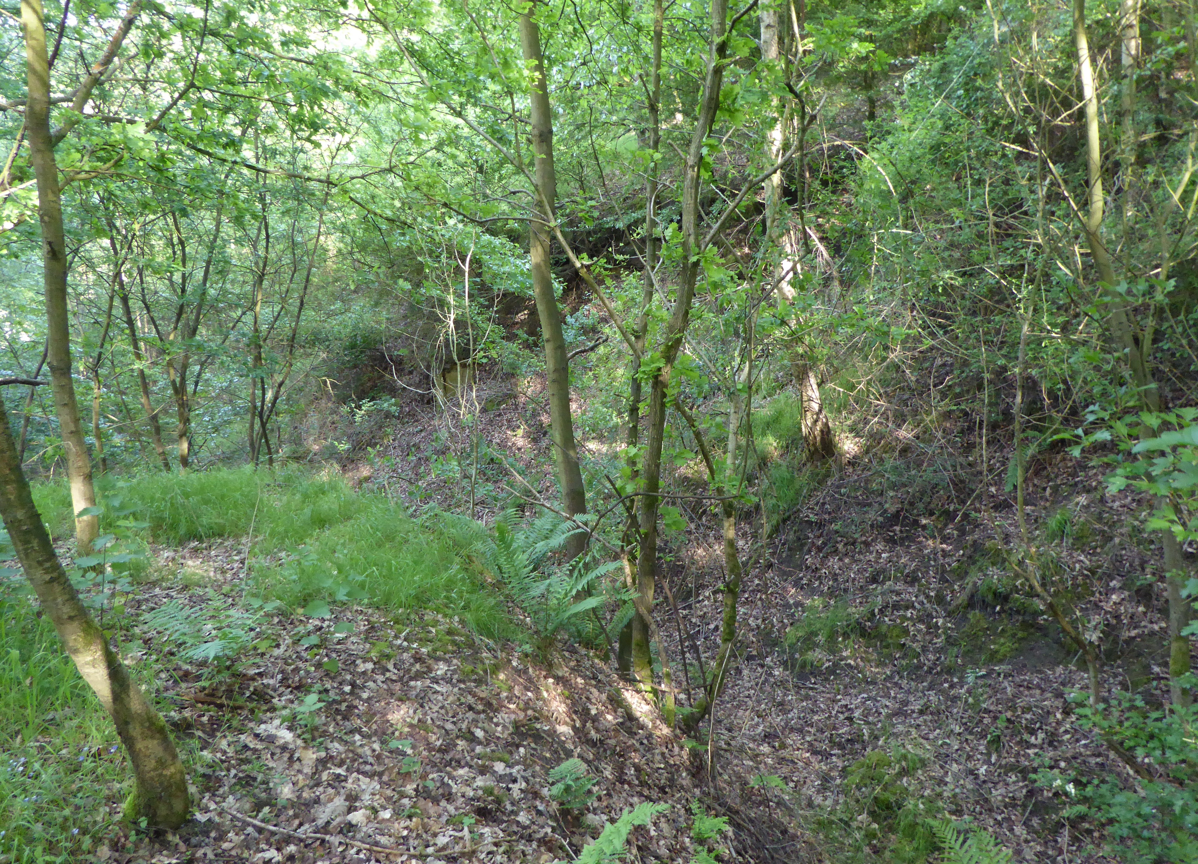
Bawsey SSSI
Bawsey is a 2.6-hectare (6.4-acre) geological Site of Special Scientific Interest east of Kings' Lynn in Norfolk. It is a Geological Conservation Review...

Queen Elizabeth Hospital, King's Lynn
Queen Elizabeth Hospital in King's Lynn, Norfolk, England. It is located on the outskirts of King's Lynn, to the eastern edge of the town. The catchment...

Bawsey
Bawsey is a village and civil parish in the English county of Norfolk. The village is about 4 miles (6.4 km) east of the town of King's Lynn and 40 miles...

Middleton Towers railway station
Middleton Towers railway station was a station in Middleton, Norfolk. It was on the line between Swaffham and King's Lynn, and closed along with the rest...

Middleton Towers
Middleton Towers is a privately owned country house in Norfolk, England, near the village of Middleton and about 3 miles (5 km) east of King's Lynn. The...
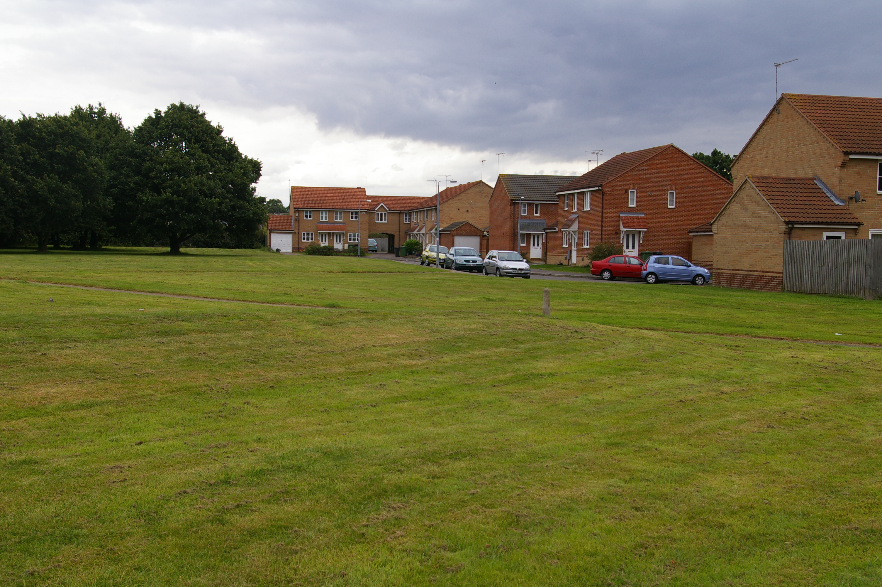
Fairstead, Norfolk
The Fairstead Estate is a suburb of King's Lynn, Norfolk, England. The population of Fairstead ward of King's Lynn and West Norfolk Borough at the 2011...
Related Videos

A walk to Brickyard Lake
Our first step into the world of YouTube with a short video showing a walk to Brickyard Lake, the smaller of our 2 lakes at the park, ...
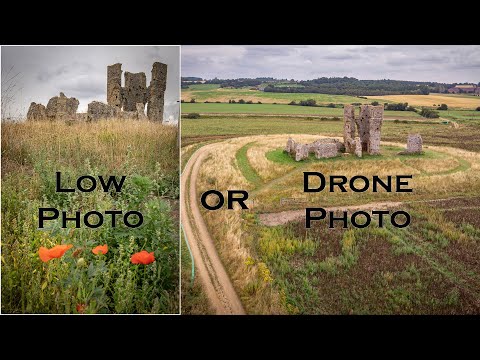
Low Photo or Drone Photo - Church of St James
We visited The church of St James (Bawsey Ruins) i used my drone to get a different view for a photo. Norfolk Coast p1: ...

Elvington House, holiday let and serviced accommodation in Kings Lynn hosted by Shortstay England
Three double bedrooms, sleeps 6, fully equipped kitchen, upstairs bathroom with shower, courtyard garden and private parking.

Everyday When you re walking down the street
everyone #TheQueenElizabethHospitalKingsLynnNorfolk #QueenElizabethHospitalNHSKingsLynnNorfolk Hello ladies and ...
Nearby Amenities
Located within 500m of 52.747699,0.464713Have you been to Bawsey?
Leave your review of Bawsey below (or comments, questions and feedback).