Tipperary Plantation
Downs, Moorland in Norfolk King's Lynn and West Norfolk
England
Tipperary Plantation
Tipperary Plantation, located in Norfolk, England, is a historical estate encompassing the areas of Downs and Moorland. The plantation dates back to the 18th century and has been a prominent landmark in the region for centuries.
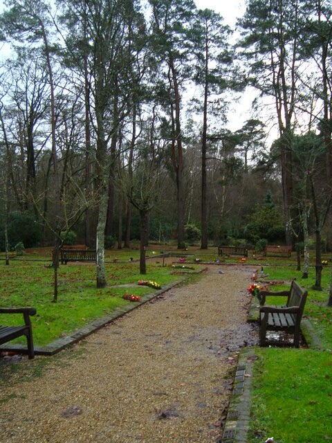
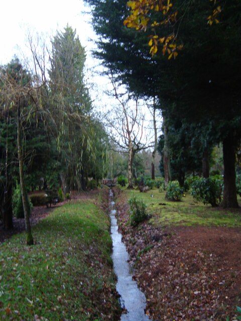
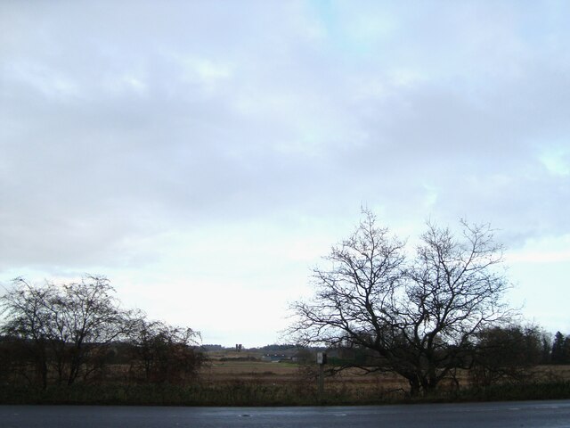
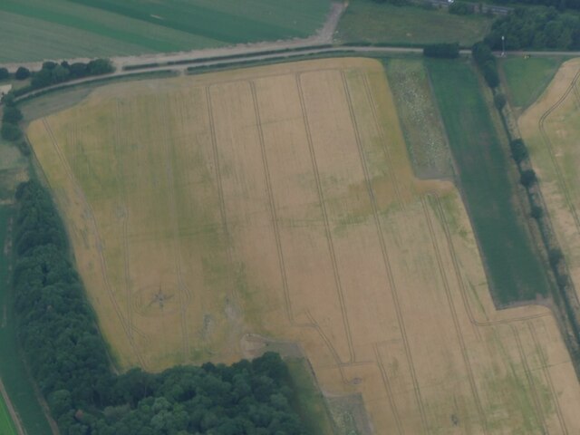
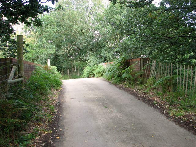
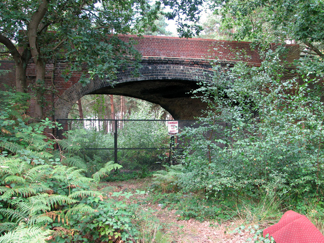
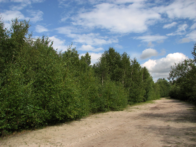
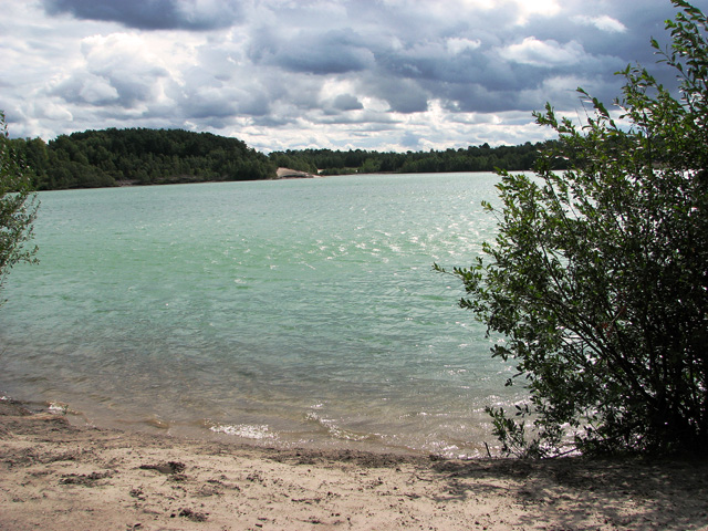
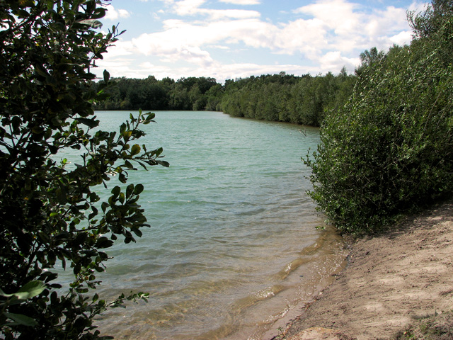
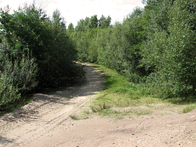
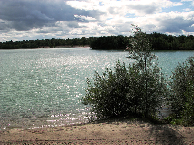
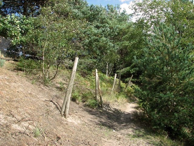
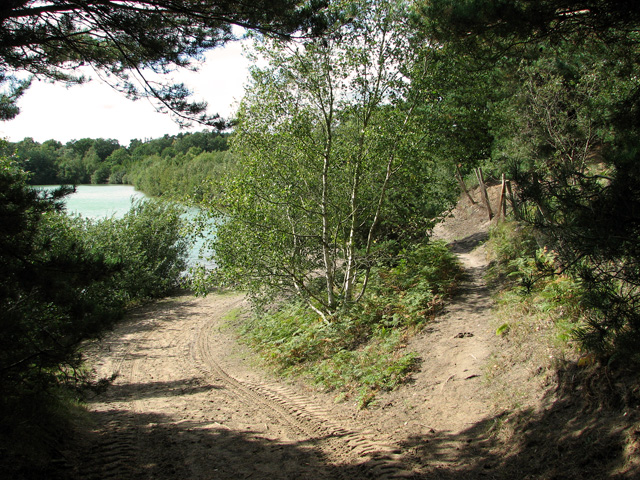
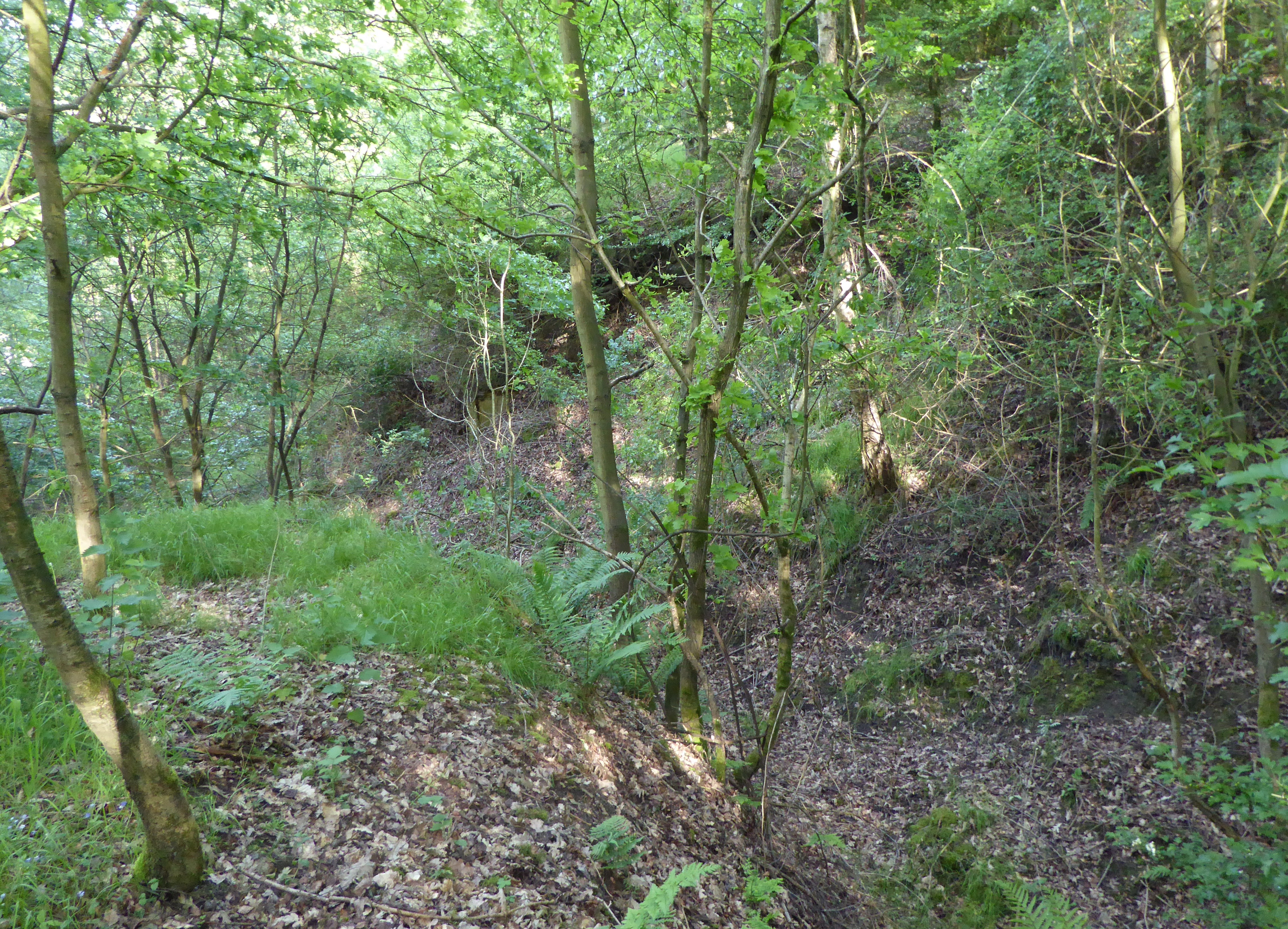
Covering a vast expanse of land, Tipperary Plantation is known for its picturesque landscape, with rolling hills, lush green fields, and scattered woodlands. The estate boasts a diverse range of flora and fauna, including ancient oak trees, wildflowers, and various bird species, making it a haven for nature enthusiasts.
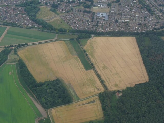
The plantation has played a significant role in Norfolk's agricultural history. Initially established as a farming estate, it has been responsible for cultivating a variety of crops, including wheat, barley, and potatoes. Over the years, the estate has adapted to changing agricultural practices and now primarily focuses on sustainable farming methods.
In addition to its agricultural significance, Tipperary Plantation is also recognized for its architectural heritage. The estate features a grand manor house, characterized by its Georgian-style architecture. The manor house has undergone several renovations throughout its existence and is currently a private residence.
Furthermore, the plantation offers various recreational activities for visitors, such as hiking trails, picnic areas, and fishing spots. It provides an opportunity to explore the stunning countryside and immerse oneself in the tranquility of rural Norfolk.
Overall, Tipperary Plantation, Norfolk, is a historically rich estate that combines natural beauty, agricultural importance, and architectural grandeur. It stands as a testament to the region's past and continues to be cherished by locals and visitors alike.
If you have any feedback on the listing, please let us know in the comments section below.
Tipperary Plantation Images
Images are sourced within 2km of 52.747561/0.46109278 or Grid Reference TF6619. Thanks to Geograph Open Source API. All images are credited.

Tipperary Plantation is located at Grid Ref: TF6619 (Lat: 52.747561, Lng: 0.46109278)
Administrative County: Norfolk
District: King's Lynn and West Norfolk
Police Authority: Norfolk
What 3 Words
///sniff.rushed.condensed. Near King's Lynn, Norfolk
Related Wikis

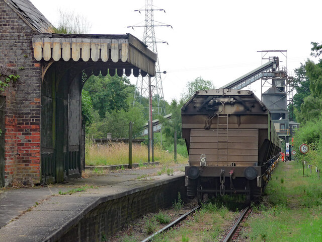
Gayton Road railway station
Gayton Road railway station was a station in Norfolk, located close to King's Lynn on the Midland and Great Northern Joint Railway. == History == The station...

Queen Elizabeth Hospital, King's Lynn
Queen Elizabeth Hospital in King's Lynn, Norfolk, England. It is located on the outskirts of King's Lynn, to the eastern edge of the town. The catchment...
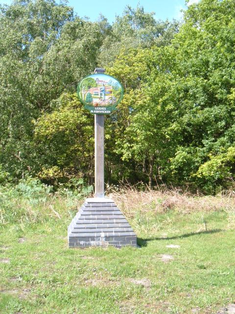
Leziate
Leziate is a village and civil parish in the English county of Norfolk. The village is 44 miles (71 km) west of Norwich, 5.7 miles (9.2 km) east of King...

Middleton Towers railway station
Middleton Towers railway station was a station in Middleton, Norfolk. It was on the line between Swaffham and King's Lynn, and closed along with the rest...
Bawsey SSSI
Bawsey is a 2.6-hectare (6.4-acre) geological Site of Special Scientific Interest east of Kings' Lynn in Norfolk. It is a Geological Conservation Review...

Bawsey
Bawsey is a village and civil parish in the English county of Norfolk. The village is about 4 miles (6.4 km) east of the town of King's Lynn and 40 miles...
Fairstead, Norfolk
The Fairstead Estate is a suburb of King's Lynn, Norfolk, England. The population of Fairstead ward of King's Lynn and West Norfolk Borough at the 2011...

Middleton Towers
Middleton Towers is a privately owned country house in Norfolk, England, near the village of Middleton and about 3 miles (5 km) east of King's Lynn. The...
Have you been to Tipperary Plantation?
Leave your review of Tipperary Plantation below (or comments, questions and feedback).