Natural Regeneration Plantation

Wood, Forest in Norfolk King's Lynn and West Norfolk

England

Natural Regeneration Plantation

Gardens of Remembrance at Mintlyn Crematorium Part of the extensive gardens and woodlands around the crematorium
Gardens of Remembrance at Mintlyn Crematorium Credit: John Myers

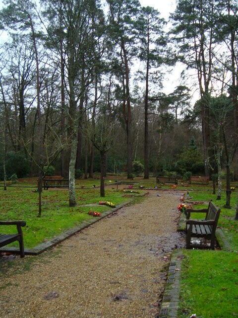
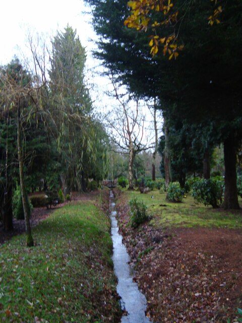
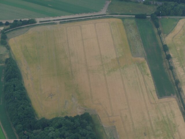
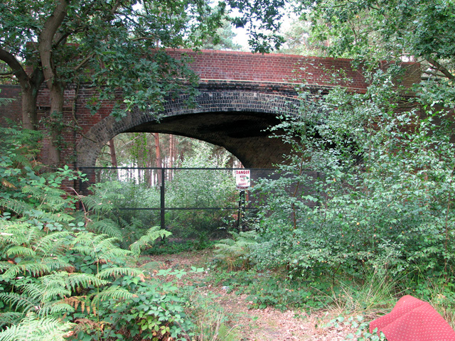
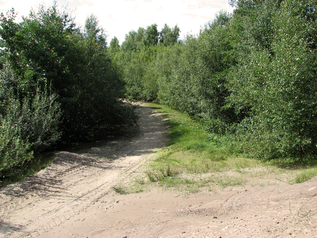
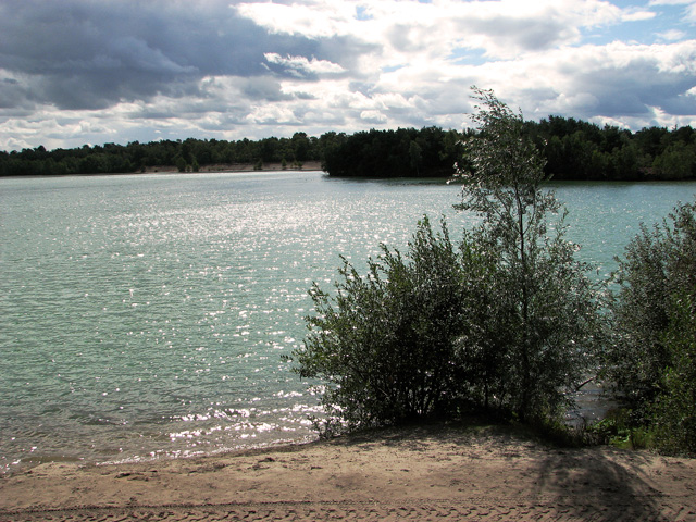
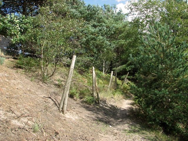
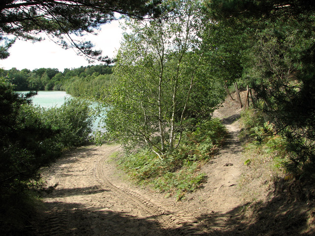
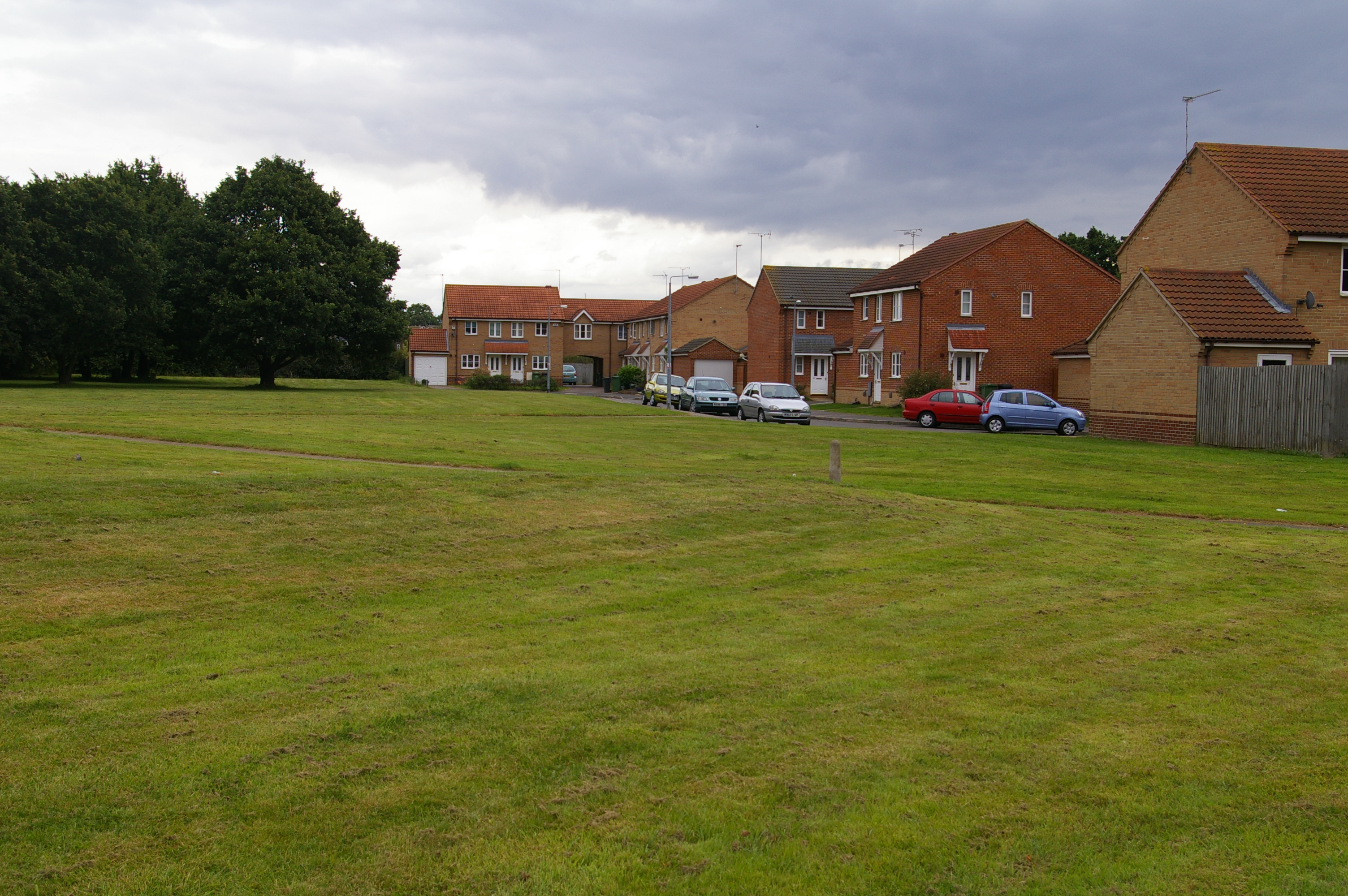
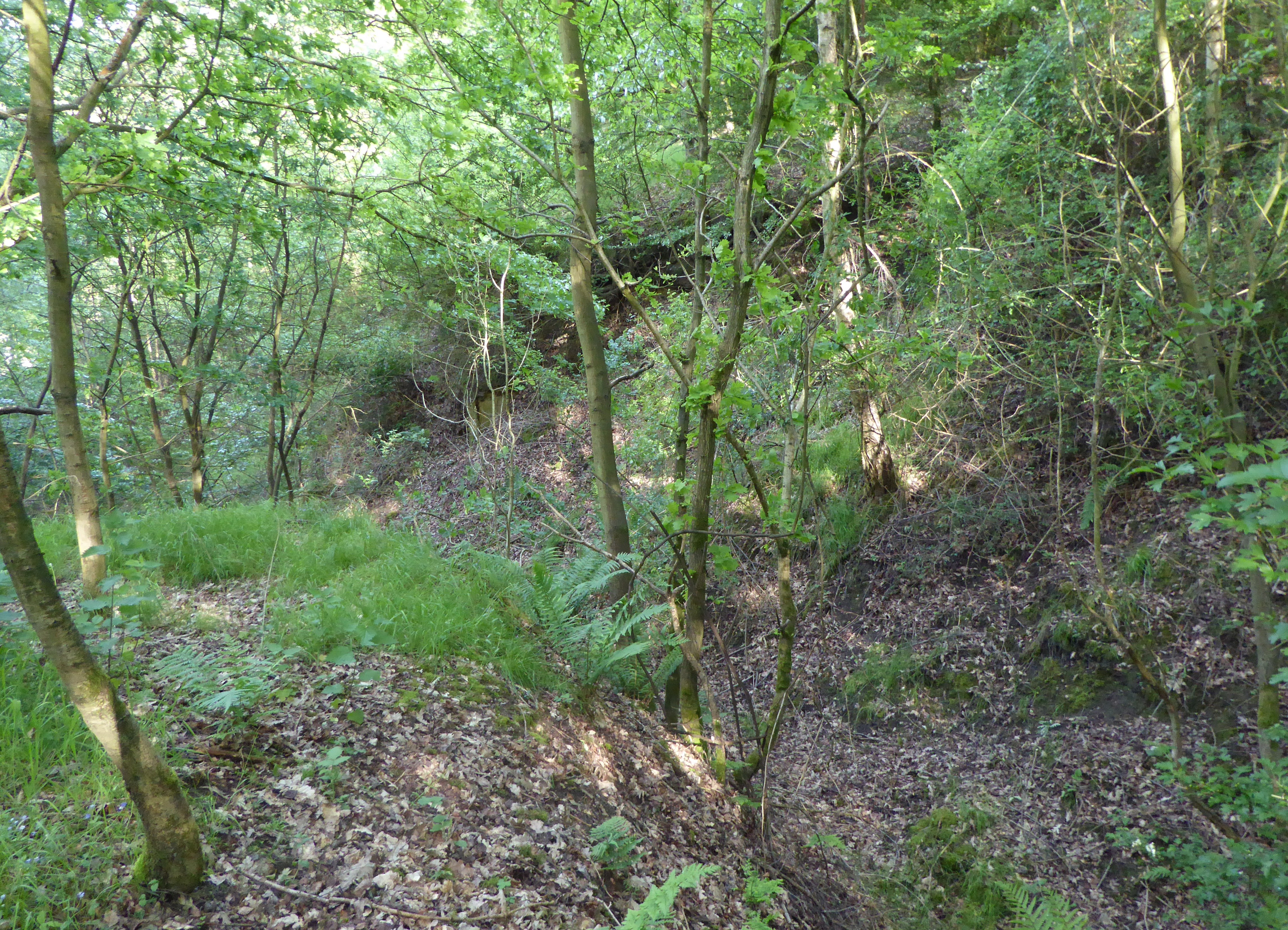
The Natural Regeneration Plantation in Norfolk is a wood and forest area that is dedicated to the practice of natural regeneration of trees and plants. It is a unique initiative that aims to restore and enhance the natural ecosystem by recreating the conditions for natural growth and development of trees and other vegetation.

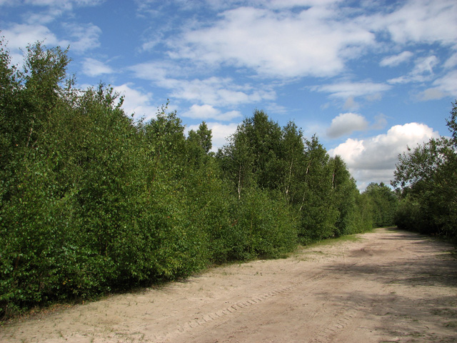
The plantation covers a significant area and is home to a wide variety of native tree species, including oak, birch, beech, and pine. These trees are allowed to grow and develop naturally, without any human intervention, in order to promote biodiversity and create a sustainable and balanced environment.

The Natural Regeneration Plantation follows strict ecological principles and practices. It does not involve the planting of new trees or the use of any chemical fertilizers or pesticides. Instead, the focus is on creating the right conditions for natural seed dispersal and germination, allowing the forest to regenerate and flourish on its own.

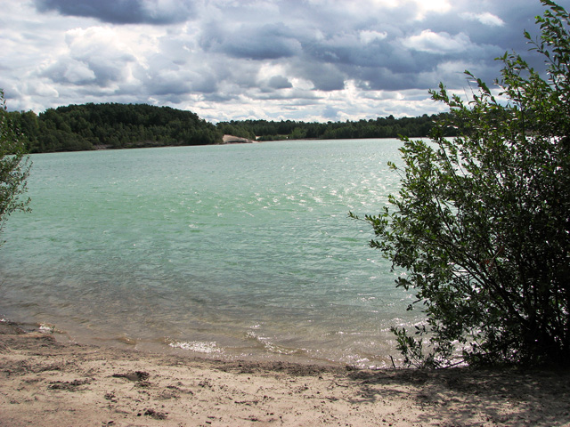
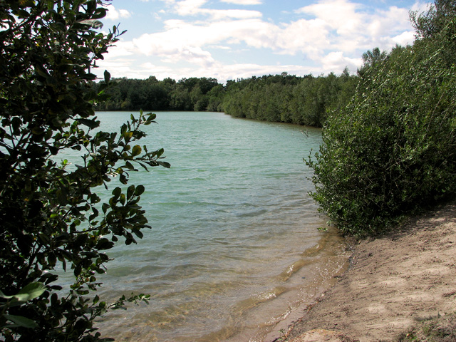
The plantation also serves as a habitat for numerous wildlife species, including birds, mammals, and insects. It provides a diverse range of habitats and food sources, supporting a healthy and thriving ecosystem.

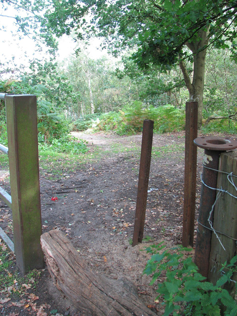
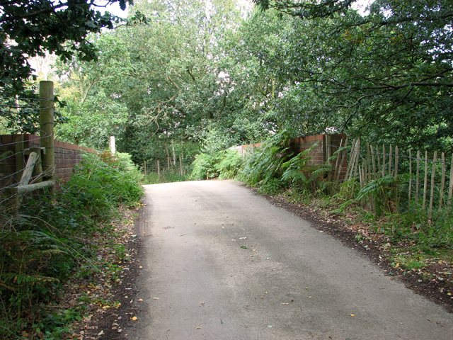
Visitors to the Natural Regeneration Plantation can enjoy the tranquility and beauty of the natural surroundings. Walking trails and observation points are available to allow visitors to explore the plantation and learn about the importance of natural regeneration and conservation.

Overall, the Natural Regeneration Plantation in Norfolk is a prime example of sustainable forestry practices that prioritize the restoration and preservation of natural ecosystems.

If you have any feedback on the listing, please let us know in the comments section below.

Natural Regeneration Plantation Images

Images are sourced within 2km of 52.750467/0.45925611 or Grid Reference TF6619. Thanks to Geograph Open Source API. All images are credited.

Gardens of Remembrance at Mintlyn Crematorium Part of the extensive gardens and woodlands around the crematorium
Gardens of Remembrance at Mintlyn Crematorium
Part of the extensive gardens and woodlands around the crematorium
Drain in Hammonds Covert Mintlyn Wood
Drain in Hammonds Covert
Mintlyn Wood
View towards Church Farm From the entrance to Mintlyn Crematorium
View towards Church Farm
From the entrance to Mintlyn Crematorium
Overflow car park at Mintlyn Crematorium
Cropmarks on field east of King's Lynn: aerial 2022 (1)
Cropmarks on field east of King's Lynn: aerial 2022 (2)
The A149 King's Lynn to Cromer road Passing by the Queen Elizabeth Hospital
The A149 King's Lynn to Cromer road
Passing by the Queen Elizabeth Hospital
Access route into Bawsey Country Park The country park has been created in an area of disused sand pits and gravel quarries, now open to the public.
Access route into Bawsey Country Park
The country park has been created in an area of disused sand pits and gravel quarries, now open to the public.
Bridge over disused railway line, Mintlyn
Bridge over disused railway line, Mintlyn Access through the bridge is blocked because there is a working quarry in the woodland on the other side.
Bridge over disused railway line, Mintlyn
Access through the bridge is blocked because there is a working quarry in the woodland on the other side.
Sandy path in Bawsey Country Park The country park has been created in an area of disused sand pits and gravel quarries, now open to the public.
Sandy path in Bawsey Country Park
The country park has been created in an area of disused sand pits and gravel quarries, now open to the public.
Lake in Bawsey Country Park The country park has been created in an area of disused sand pits and gravel quarries, now open to the public.
Lake in Bawsey Country Park
The country park has been created in an area of disused sand pits and gravel quarries, now open to the public.
View along the edge of the lake, Bawsey Country Park The country park has been created in an area of disused sand pits and gravel quarries, now open to the public.
View along the edge of the lake, Bawsey Country Park
The country park has been created in an area of disused sand pits and gravel quarries, now open to the public.
Path around the lake, Bawsey Country Park The country park has been created in an area of disused sand pits and gravel quarries, now open to the public.
Path around the lake, Bawsey Country Park
The country park has been created in an area of disused sand pits and gravel quarries, now open to the public.
Blustery day in Bawsey Country Park The country park has been created in an area of disused sand pits and gravel quarries, now open to the public.
Blustery day in Bawsey Country Park
The country park has been created in an area of disused sand pits and gravel quarries, now open to the public.
Path past the gravel works, Bawsey Country Park
Track along the lake in Bawsey Country Park The country park has been created in an area of disused sand pits and gravel quarries, now open to the public.
Track along the lake in Bawsey Country Park
The country park has been created in an area of disused sand pits and gravel quarries, now open to the public.
Paths along the lake in Bawsey Country Park The country park has been created in an area of disused sand pits and gravel quarries, now open to the public.
Paths along the lake in Bawsey Country Park
The country park has been created in an area of disused sand pits and gravel quarries, now open to the public.
Show me another place!

Natural Regeneration Plantation is located at Grid Ref: TF6619 (Lat: 52.750467, Lng: 0.45925611)

Administrative County: Norfolk

District: King's Lynn and West Norfolk

Police Authority: Norfolk

What 3 Words

///strutted.blocks.permanent. Near King's Lynn, Norfolk

Related Wikis

Gayton Road railway station

Gayton Road railway station was a station in Norfolk, located close to King's Lynn on the Midland and Great Northern Joint Railway. == History == The station...

Queen Elizabeth Hospital, King's Lynn

Queen Elizabeth Hospital in King's Lynn, Norfolk, England. It is located on the outskirts of King's Lynn, to the eastern edge of the town. The catchment...

Fairstead, Norfolk

The Fairstead Estate is a suburb of King's Lynn, Norfolk, England. The population of Fairstead ward of King's Lynn and West Norfolk Borough at the 2011...
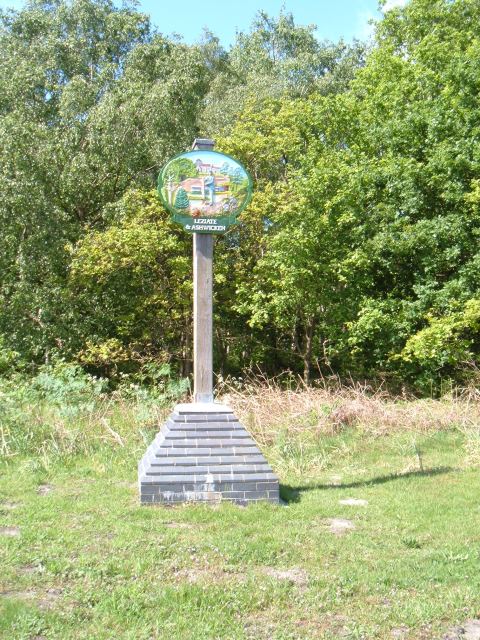
Leziate

Leziate is a village and civil parish in the English county of Norfolk. The village is 44 miles (71 km) west of Norwich, 5.7 miles (9.2 km) east of King...

Bawsey

Bawsey is a village and civil parish in the English county of Norfolk. The village is about 4 miles (6.4 km) east of the town of King's Lynn and 40 miles...

Bawsey SSSI

Bawsey is a 2.6-hectare (6.4-acre) geological Site of Special Scientific Interest east of Kings' Lynn in Norfolk. It is a Geological Conservation Review...

Middleton Towers railway station

Middleton Towers railway station was a station in Middleton, Norfolk. It was on the line between Swaffham and King's Lynn, and closed along with the rest...

Springwood High School, King's Lynn

Springwood High School is a secondary school with academy status in the town of King's Lynn in Norfolk, England. It was formed by the merger of several...

Nearby Amenities

Located within 500m of 52.750467,0.45925611
Bus Stop
Crematorium
Naptan AtcoCode: 2900B143
Naptan Bearing: W
Naptan BusStopType: CUS
Naptan CommonName: Crematorium
Naptan Indicator: adj
Naptan Landmark: Crematorium
Naptan Locality: Bawsey
Naptan NaptanCode: nfoadtam
Naptan Street: B1145
Naptan Verified: yes
Source: naptan_import
Lat/Long: 52.7528223/0.4564668
Bus Stop
Crematorium
Naptan AtcoCode: 2900B144
Naptan Bearing: E
Naptan CommonName: Crematorium
Naptan Indicator: opp
Naptan Landmark: Mintlyn Crematorium
Naptan Locality: Bawsey
Naptan NaptanCode: nfoadtap
Naptan Street: B1145
Naptan Verified: yes
Source: naptan_import
Lat/Long: 52.7530537/0.4561539
Give Way
Lat/Long: 52.7518872/0.463231
Give Way
Lat/Long: 52.7517571/0.4640792
The data included in this document is from www.openstreetmap.org. The data is made available under ODbL.

Have you been to Natural Regeneration Plantation?

Leave your review of Natural Regeneration Plantation below (or comments, questions and feedback).