Bawtry
Civil Parish in Nottinghamshire Doncaster
England
Bawtry

Bawtry is a civil parish located in the county of Nottinghamshire, England. It is situated on the border with South Yorkshire, approximately 8 miles southeast of Doncaster and 17 miles northeast of Worksop. The town is positioned on the A638 road, which connects it to the nearby towns and cities.
Historically, Bawtry was an important market town and a major crossing point over the River Idle. The town's name derives from the Old Norse word "baldr" meaning a "place where a road crosses a river." Today, Bawtry retains its market town status and is known for its charming and picturesque qualities.
The town has a population of around 3,500 residents and is renowned for its vibrant atmosphere and bustling streets. Bawtry offers a range of amenities, including local shops, restaurants, pubs, and cafes, catering to both residents and visitors alike.
Bawtry is also known for its scenic beauty and offers numerous recreational opportunities. The nearby countryside provides ample opportunities for walking, cycling, and exploring nature. Additionally, the town hosts several events throughout the year, including a popular Bawtry Christmas Market and the Bawtry Open Gardens event, which allows visitors to explore private gardens.
Overall, Bawtry, Nottinghamshire, is a charming market town that offers a rich history, picturesque surroundings, and a vibrant atmosphere, making it an attractive destination for both residents and tourists.
If you have any feedback on the listing, please let us know in the comments section below.
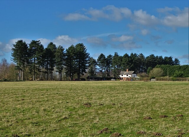
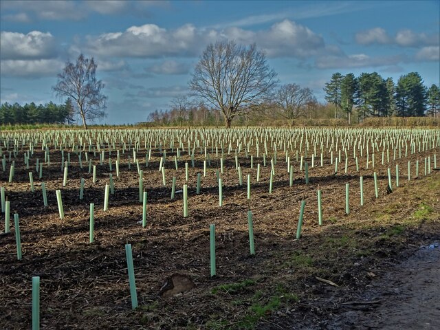
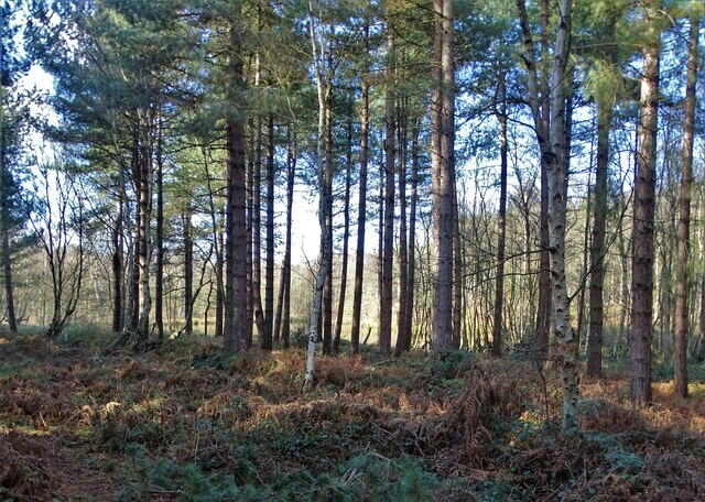
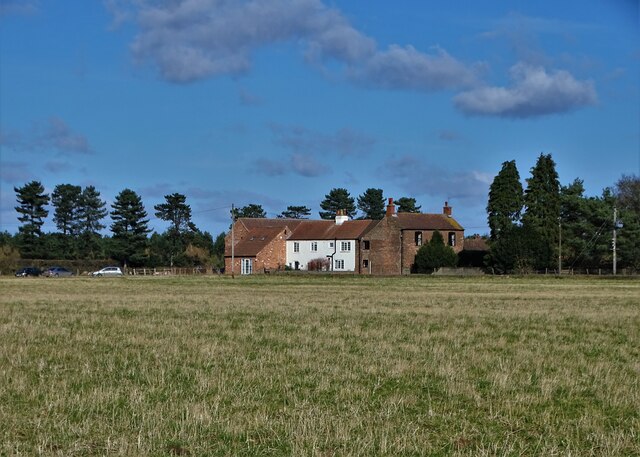
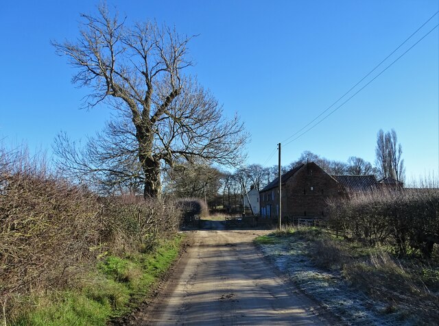
Bawtry Images
Images are sourced within 2km of 53.441024/-1.037592 or Grid Reference SK6494. Thanks to Geograph Open Source API. All images are credited.


Bawtry is located at Grid Ref: SK6494 (Lat: 53.441024, Lng: -1.037592)
Administrative County: South Yorkshire
District: Doncaster
Police Authority: South Yorkshire
What 3 Words
///caressed.bedroom.creamed. Near Bawtry, South Yorkshire
Nearby Locations
Related Wikis

RAF Bircotes
Royal Air Force Bircotes or more simply RAF Bircotes is a former Royal Air Force satellite airfield located within South Yorkshire, England. Although it...
Hospital of St Mary Magdalene, Bawtry
The Hospital of St Mary Magdalene, Bawtry was a charity established in Bawtry in the thirteenth century. The surviving chapel building is now a masonic...
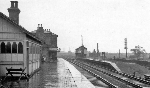
Bawtry railway station
Bawtry railway station was situated to the east of the town of Bawtry, South Yorkshire, England on the Great Northern Railway main line between Retford...

RAF Bawtry
Royal Air Force Bawtry or more simply RAF Bawtry is a former Royal Air Force station located at Bawtry Hall in Bawtry, South Yorkshire, England and was...
Rossington & Bawtry (ward)
Rossington & Bawtry—consisting of Austerfield, Bawtry and Rossington—is one of 21 electoral wards in the Metropolitan Borough of Doncaster, South Yorkshire...
Bawtry Wharf
Bawtry Wharf was a small Medieval port in the town of Bawtry, West Riding of Yorkshire, England. The port operated from a wharf on the River Idle, a small...

Bawtry
Bawtry is a market town and civil parish in the City of Doncaster in South Yorkshire, England. It lies 8 miles (13 km) south-east of Doncaster, 10 miles...
Bawtry gasworks contamination
In 2001, an area of residential land in Bawtry, South Yorkshire, England was found to contain hazardous by-products from the manufacture of coal gas. Under...
Have you been to Bawtry?
Leave your review of Bawtry below (or comments, questions and feedback).