Baulking
Civil Parish in Berkshire Vale of White Horse
England
Baulking

Baulking is a small civil parish located in the county of Berkshire, England. Situated about 8 miles southwest of the town of Faringdon, it is part of the Vale of White Horse district. The parish covers an area of approximately 3.5 square kilometers and has a population of around 200 people.
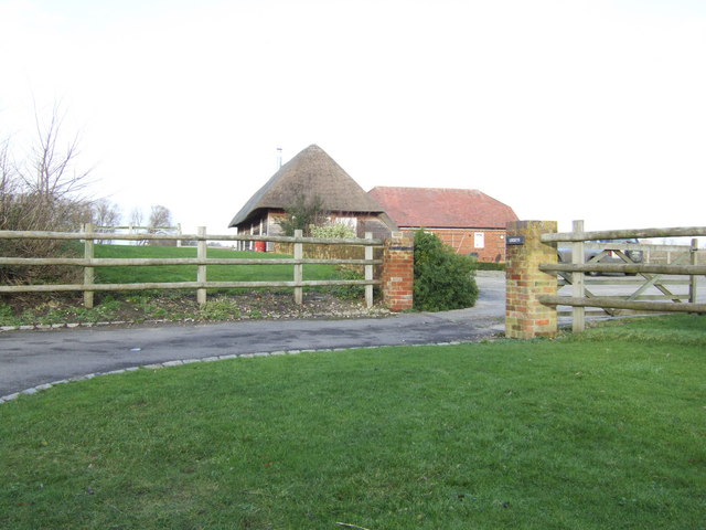
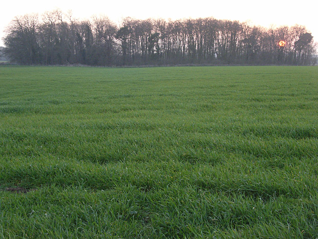
The village of Baulking is nestled in a rural setting, surrounded by picturesque farmland and rolling hills. It is characterized by its quiet and peaceful atmosphere, making it an ideal place for those seeking a tranquil lifestyle away from the hustle and bustle of larger towns and cities.
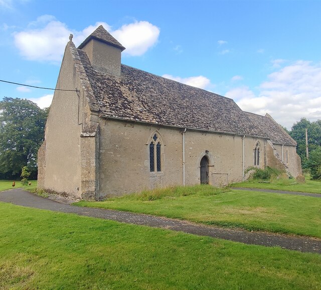
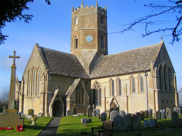
The heart of the village is its charming 12th-century church, St. Nicholas, which stands as a historical landmark. The church's architecture showcases a mix of Norman and Early English styles, and its peaceful churchyard provides a serene space for reflection.
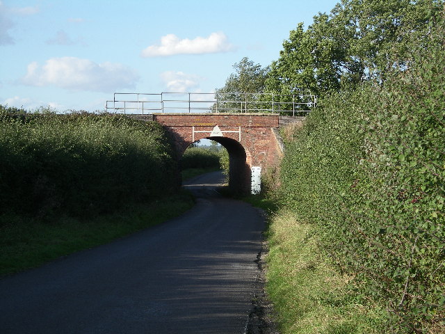
Despite its small size, Baulking is well-connected to neighboring towns and villages. The A420 road runs through the parish, providing easy access to nearby areas. The village also benefits from regular bus services, ensuring convenient transportation for its residents.
While Baulking does not have many amenities within its borders, it is within close proximity to larger towns such as Faringdon and Wantage, where residents can find a wider range of shops, schools, and recreational facilities.
Overall, Baulking offers a peaceful and idyllic countryside lifestyle, making it an attractive place to live for those seeking a close-knit community in a picturesque setting.
If you have any feedback on the listing, please let us know in the comments section below.
Baulking Images
Images are sourced within 2km of 51.617579/-1.531271 or Grid Reference SU3291. Thanks to Geograph Open Source API. All images are credited.


Baulking is located at Grid Ref: SU3291 (Lat: 51.617579, Lng: -1.531271)
Administrative County: Oxfordshire
District: Vale of White Horse
Police Authority: Thames Valley
What 3 Words
///almost.chains.photocopy. Near Stanford in the Vale, Oxfordshire
Nearby Locations
Related Wikis

Baulking
Baulking or Balking is a village and civil parish about 3+1⁄2 miles (5.6 km) southeast of Faringdon in the Vale of White Horse district of Oxfordshire...

Uffington railway station
Uffington railway station (sometimes marked as Uffington Junction) is a former station on the Great Western Main Line. The station was located north-east...
Uffington, Oxfordshire
Uffington is a village and civil parish in Oxfordshire, about 4 miles (6.4 km) south of Faringdon and 6 miles (10 km) west of Wantage. The 2011 Census...
RAF Shellingford
RAF Shellingford was a Royal Air Force station located approximately 4 miles east of the town of Faringdon in Oxfordshire. It occupied land adjacent to...

Shellingford
Shellingford, historically also spelt Shillingford, is a village and civil parish about 2+1⁄2 miles (4 km) south-east of Faringdon in the Vale of White...

Stanford in the Vale
Stanford in the Vale is a village and civil parish in the Vale of White Horse about 3+1⁄2 miles (5.6 km) southeast of Faringdon and 5 miles (8 km) northwest...

Vale of White Horse
The Vale of White Horse is a local government district of Oxfordshire in England. It was historically a north-west projection of Berkshire. The area is...

Tom Brown's School Museum
Tom Brown's School Museum is a local museum in the village of Uffington (near Faringdon), Oxfordshire, England. It was opened in 1984.The museum covers...
Have you been to Baulking?
Leave your review of Baulking below (or comments, questions and feedback).