Baulking Hill
Hill, Mountain in Berkshire Vale of White Horse
England
Baulking Hill

Baulking Hill is a prominent hill located in the county of Berkshire, England. Situated near the village of Baulking, the hill is known for its picturesque landscape and offers panoramic views of the surrounding countryside.
Rising to an elevation of approximately 205 meters (672 feet), Baulking Hill is considered a significant geographical feature in the area. It is part of the North Wessex Downs, a designated Area of Outstanding Natural Beauty, and is a popular destination for hikers, nature enthusiasts, and locals seeking outdoor recreation.
The hill is predominantly covered in grassland, interspersed with patches of woodland, which provides a diverse habitat for a variety of plant and animal species. The gentle slopes and undulating terrain make it an ideal location for leisurely walks and picnics, while the more adventurous can explore the numerous footpaths and trails that crisscross the hill.
At the summit, visitors are rewarded with breathtaking views across the Berkshire Downs and the Vale of White Horse. On clear days, it is even possible to see as far as the nearby Ridgeway, an ancient track that stretches across southern England.
Baulking Hill holds historical significance as well, being home to a hillfort dating back to the Iron Age. The remains of the fort can still be seen today, adding an extra layer of intrigue to the site.
Overall, Baulking Hill offers a serene and scenic environment, combining natural beauty with a rich cultural heritage, making it a cherished destination for both locals and tourists alike.
If you have any feedback on the listing, please let us know in the comments section below.
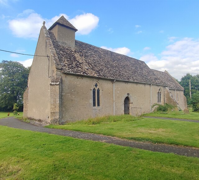
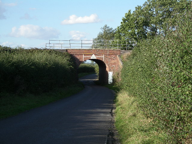
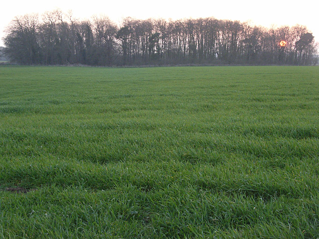
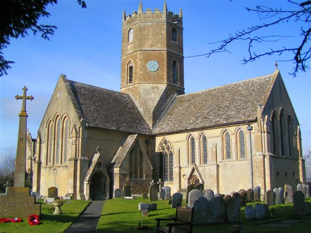
Baulking Hill Images
Images are sourced within 2km of 51.621297/-1.5313992 or Grid Reference SU3291. Thanks to Geograph Open Source API. All images are credited.


Baulking Hill is located at Grid Ref: SU3291 (Lat: 51.621297, Lng: -1.5313992)
Administrative County: Oxfordshire
District: Vale of White Horse
Police Authority: Thames Valley
What 3 Words
///grins.infringe.informs. Near Stanford in the Vale, Oxfordshire
Nearby Locations
Related Wikis

Baulking
Baulking or Balking is a village and civil parish about 3+1⁄2 miles (5.6 km) southeast of Faringdon in the Vale of White Horse district of Oxfordshire...

Uffington railway station
Uffington railway station (sometimes marked as Uffington Junction) is a former station on the Great Western Main Line. The station was located north-east...
RAF Shellingford
RAF Shellingford was a Royal Air Force station located approximately 4 miles east of the town of Faringdon in Oxfordshire. It occupied land adjacent to...

Shellingford
Shellingford, historically also spelt Shillingford, is a village and civil parish about 2+1⁄2 miles (4 km) south-east of Faringdon in the Vale of White...
Uffington, Oxfordshire
Uffington is a village and civil parish in Oxfordshire, about 4 miles (6.4 km) south of Faringdon and 6 miles (10 km) west of Wantage. The 2011 Census...

Stanford in the Vale
Stanford in the Vale is a village and civil parish in the Vale of White Horse about 3+1⁄2 miles (5.6 km) southeast of Faringdon and 5 miles (8 km) northwest...

Shellingford Crossroads Quarry
Shellingford Crossroads Quarry is a 2.6-hectare (6.4-acre) geological Site of Special Scientific Interest west of Stanford in the Vale in Oxfordshire....

Bow, Oxfordshire
Bow is a hamlet contiguous with Stanford in the Vale in Oxfordshire, England. == External links == Media related to Bow, Oxfordshire at Wikimedia Commons
Have you been to Baulking Hill?
Leave your review of Baulking Hill below (or comments, questions and feedback).