Brier Hill

Hill, Mountain in Yorkshire Harrogate

England

Brier Hill

South Stainley - St Wilfrid's Church
South Stainley - St Wilfrid's Church Credit: Colin Park

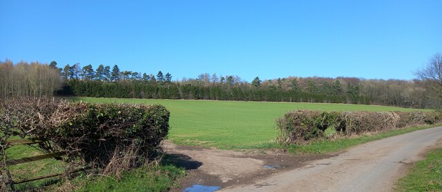
Brier Hill is a prominent landmark located in the county of Yorkshire, England. Situated in the picturesque region of Brierley, this hill is an integral part of the local landscape, offering stunning views of the surrounding countryside. Although not particularly high, standing at approximately 300 meters above sea level, Brier Hill stands out due to its distinctive shape and lush vegetation.

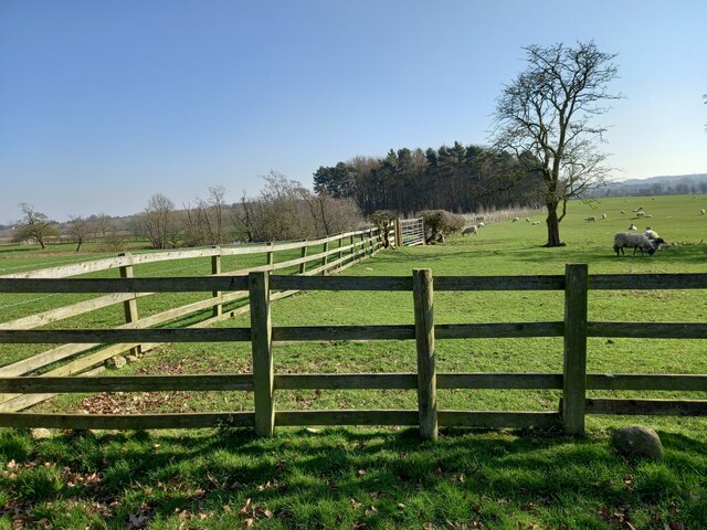
The hill is characterized by its gentle slopes and is covered in dense heather and grass, giving it a vibrant green hue during the warmer months. Its summit provides an ideal vantage point, offering panoramic vistas of the rolling hills, fields, and woodlands that stretch as far as the eye can see.

Brier Hill is a popular destination for outdoor enthusiasts, hikers, and nature lovers. There are well-maintained footpaths leading to the summit, making it accessible to visitors of all ages and fitness levels. The hill's tranquil surroundings and the abundance of wildlife, including various species of birds and small mammals, make it a haven for nature enthusiasts.

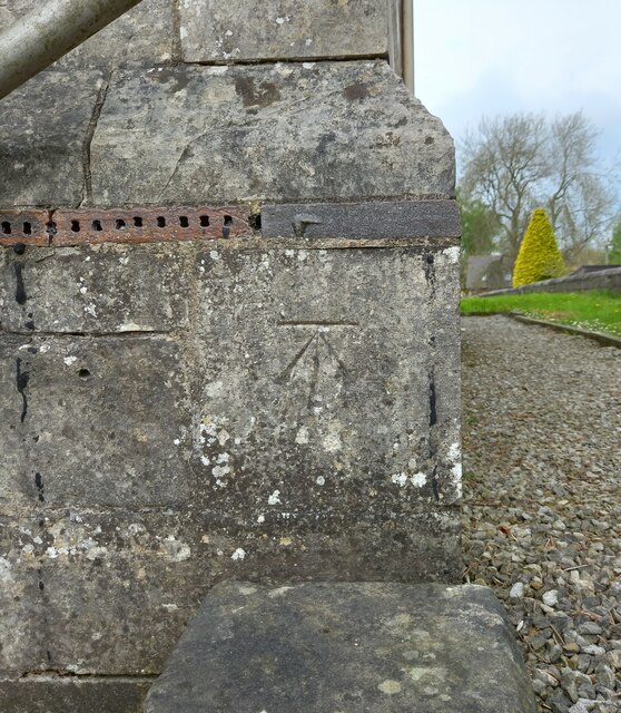
The hill is also steeped in history, with ancient burial mounds and archaeological sites scattered around its base. These remnants from the past add a sense of mystique and intrigue to the area, attracting historians and archaeologists alike.

Brier Hill is a cherished natural landmark and an important part of the local community. Its beauty, accessibility, and historical significance make it a must-visit destination for anyone exploring the Yorkshire countryside.

If you have any feedback on the listing, please let us know in the comments section below.
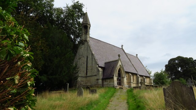
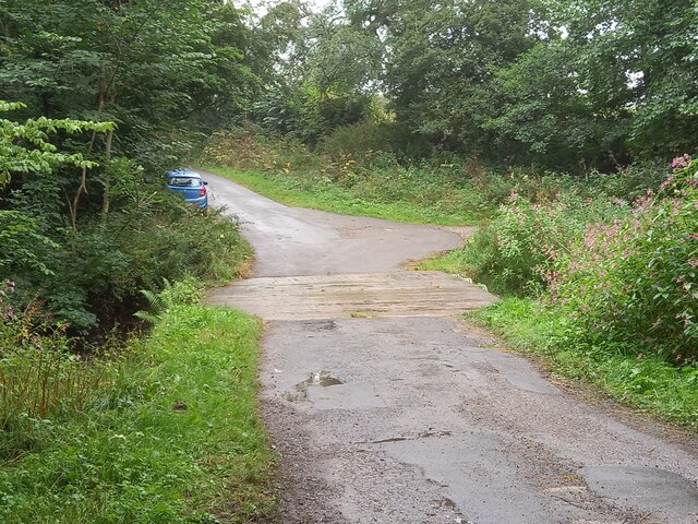
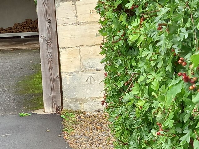
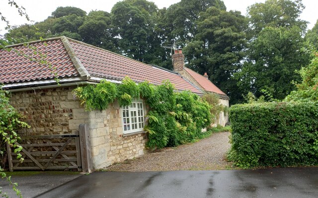
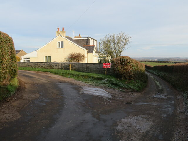
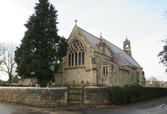
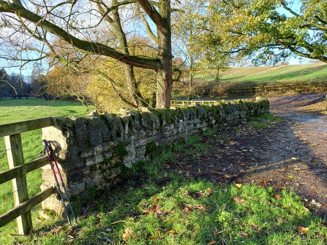
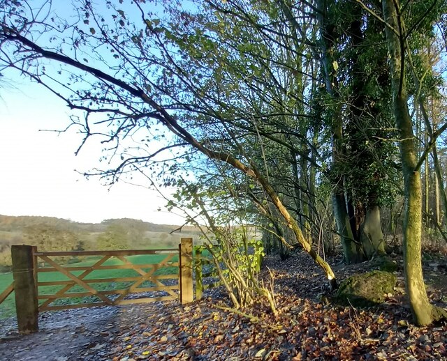
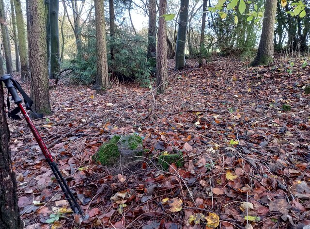
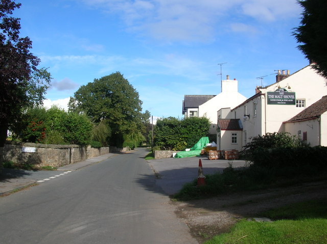
Brier Hill Images

Images are sourced within 2km of 54.062437/-1.5043424 or Grid Reference SE3263. Thanks to Geograph Open Source API. All images are credited.

South Stainley - St Wilfrid's Church
Robert Beck bridge This bridge is on the north/south track which runs to and from Farnham to Copgrove. According to the OS database there was a benchmark in this location. Today there is a more substantial bridge for the heavier machinery using the lanes, and no benchmark to be found.
Robert Beck bridge
This bridge is on the north/south track which runs to and from Farnham to Copgrove. According to the OS database there was a benchmark in this location. Today there is a more substantial bridge for the heavier machinery using the lanes, and no benchmark to be found.
Copgrove, Firlands Farm Firlands Farm is on the south side of the Burton Leonard/Farnham road. On the north facing gable end which is roadside, there is a benchmark cut into the lowest course of stone.
Copgrove, Firlands Farm
Firlands Farm is on the south side of the Burton Leonard/Farnham road. On the north facing gable end which is roadside, there is a benchmark cut into the lowest course of stone.
Copgrove, Firlands Farm A wider angle showing Firlands Farm on the south side of the Burton Leonard/Farnham road. On this north facing gable end, there is a benchmark cut into the lowest course of stone.
Copgrove, Firlands Farm
A wider angle showing Firlands Farm on the south side of the Burton Leonard/Farnham road. On this north facing gable end, there is a benchmark cut into the lowest course of stone.
Burton Leonard, The Toll House The Toll House is on the north side of the Burton Leonard/Copgrove road and is now a private residence. On the second course of stone, on the left corner stone of the house, there is a benchmark.
Burton Leonard, The Toll House
The Toll House is on the north side of the Burton Leonard/Copgrove road and is now a private residence. On the second course of stone, on the left corner stone of the house, there is a benchmark.
Burton Leonard, The Toll House A wider angle showing the Toll House which is on the north side of the Burton Leonard/Copgrove road and is now a private residence. On the second course of stone, on the left corner stone of the house, there is a benchmark. To the right of the wooden gatepost.
Burton Leonard, The Toll House
A wider angle showing the Toll House which is on the north side of the Burton Leonard/Copgrove road and is now a private residence. On the second course of stone, on the left corner stone of the house, there is a benchmark. To the right of the wooden gatepost.
Brearton, Warren Lane According to the OS benchmark database there was a benchmark cut into a stone on the roadside wall on the north side of the lane. The wall has gone, and the cutmark has been destroyed.
Brearton, Warren Lane
According to the OS benchmark database there was a benchmark cut into a stone on the roadside wall on the north side of the lane. The wall has gone, and the cutmark has been destroyed.
Brearton, Warren Lane According to the OS benchmark database one of the gateposts in this field entrance had a benchmark cut into the face. Today there are no gateposts, and no gate and the benchmark has been destroyed.
Brearton, Warren Lane
According to the OS benchmark database one of the gateposts in this field entrance had a benchmark cut into the face. Today there are no gateposts, and no gate and the benchmark has been destroyed.
Brearton, Warren Lane According to the OS benchmark database there was a small building stood in the corner of this field with a benchmark cut into the north-west face. The building has been demolished and the benchmark destroyed.
Brearton, Warren Lane
According to the OS benchmark database there was a small building stood in the corner of this field with a benchmark cut into the north-west face. The building has been demolished and the benchmark destroyed.
Burton Leonard church The benchmark is cut into the east face of the church.
Burton Leonard church
The benchmark is cut into the east face of the church.
Burton Leonard church There is a benchmark cut into the east face of the church.
Burton Leonard church
There is a benchmark cut into the east face of the church.
Junction of lanes at Burton Leonard The wider lane to the left is Common Balk Lane and is a dead end for vehicles, whilst to the right is the rather curved Straight Lane which links into the road from Knaresborough to Bishop Monkton.
Junction of lanes at Burton Leonard
The wider lane to the left is Common Balk Lane and is a dead end for vehicles, whilst to the right is the rather curved Straight Lane which links into the road from Knaresborough to Bishop Monkton.
Burton Leonard church, from the NE A Victorian church that doesn't get more than 5 lines of description in the updated Pevsner guide. St Leonard's dates from 1877. This apparently replaced a medieval church, of which nothing remains.
Burton Leonard church, from the NE
A Victorian church that doesn't get more than 5 lines of description in the updated Pevsner guide. St Leonard's dates from 1877. This apparently replaced a medieval church, of which nothing remains.
South Stainley, cliff north of bridleway According to the OS benchmark database there is a benchmark cut into the cliff on the north side of the track. The surrounds is deep in fallen leaves and years of mulch, and it is difficult digging sufficiently deep to find any marks. Nothing was found.
South Stainley, cliff north of bridleway
According to the OS benchmark database there is a benchmark cut into the cliff on the north side of the track. The surrounds is deep in fallen leaves and years of mulch, and it is difficult digging sufficiently deep to find any marks. Nothing was found.
South Stainley, track and bridge According to the OS benchmark database there is a benchmark on the track side wall on the west side of the track. Both the bridge and the wall have been renewed and reshaped over the recent years. The wall where the benchmark was has gone.
South Stainley, track and bridge
According to the OS benchmark database there is a benchmark on the track side wall on the west side of the track. Both the bridge and the wall have been renewed and reshaped over the recent years. The wall where the benchmark was has gone.
South Stainley, old track to Stainley Mill According to the OS benchmark database there is a rivet benchmark cut into a rock on the west of the old track. Only 1 rock found and despite trying to clear the moss no cutmark was found.
South Stainley, old track to Stainley Mill
According to the OS benchmark database there is a rivet benchmark cut into a rock on the west of the old track. Only 1 rock found and despite trying to clear the moss no cutmark was found.
South Stainley, old track to Stainley Mill The pivot benchmark is cut into a rock within a wooded area to the north of the old track. The area is known as Luptons Bank.
South Stainley, old track to Stainley Mill
The pivot benchmark is cut into a rock within a wooded area to the north of the old track. The area is known as Luptons Bank.
South Stainley, Luptons Bank There is a pivot benchmark cut into the rock within the wooded area to the north of the old track and known as Luptons Bank.
South Stainley, Luptons Bank
There is a pivot benchmark cut into the rock within the wooded area to the north of the old track and known as Luptons Bank.
Show me another place!

Brier Hill is located at Grid Ref: SE3263 (Lat: 54.062437, Lng: -1.5043424)

Division: West Riding

Administrative County: North Yorkshire

District: Harrogate

Police Authority: North Yorkshire

What 3 Words

///huts.backlog.processor. Near Knaresborough, North Yorkshire

Related Wikis

Burton Leonard

Burton Leonard is a village and civil parish in the Harrogate district of North Yorkshire, England, and approximately 7 miles (11 km) south from Ripon...

South Stainley

South Stainley is a small village in the Harrogate District, in the county of North Yorkshire, England. Nearby settlements include the city of Ripon, the...

Brearton

Brearton is a village and civil parish in the Harrogate borough of North Yorkshire, England, situated about 3 miles (4.8 km) north of Knaresborough. The...

Wormald Green railway station

Wormald Green railway station served the village of Wormald Green, Harrogate, England from 1848 to 1964 on the Leeds-Northallerton Railway. == History... ==

Wormald Green

Wormald Green is a village in the civil parish of Markington with Wallerthwaite in the district of Harrogate, North Yorkshire, England. In 2016, Harrogate...

Copgrove

Copgrove is a village and civil parish in the Harrogate district of North Yorkshire, England, five miles (8 km) south-west of Boroughbridge and the A1...

Farnham Mires

Farnham Mires is a Site of Special Scientific Interest, or SSSI, to the east of the village of Farnham, North Yorkshire, England. It consists of a spring...

Bishop Monkton

Bishop Monkton is a village and civil parish in the Harrogate district of North Yorkshire, England, about five miles south of Ripon. According to the...

Nearby Amenities

Located within 500m of 54.062437,-1.5043424
Power: pole
Lat/Long: 54.0587031/-1.5006799
Power: pole
Lat/Long: 54.0589612/-1.5019244
Power: pole
Lat/Long: 54.0592431/-1.5041292
Power: pole
Lat/Long: 54.0593186/-1.5054247
Power: pole
Lat/Long: 54.05938/-1.5066719
Power: pole
Lat/Long: 54.0594682/-1.5079728
Power: pole
Lat/Long: 54.0595548/-1.5091959
Power: pole
Lat/Long: 54.0602475/-1.5096197
Power: pole
Lat/Long: 54.0607937/-1.5099308
Power: pole
Lat/Long: 54.0614203/-1.5102983
Power: pole
Lat/Long: 54.0626135/-1.5117869
Power: pole
Lat/Long: 54.0588259/-1.5005752
Power: pole
Lat/Long: 54.0590667/-1.5016857
Power: pole
Lat/Long: 54.0592903/-1.5027934
Power: pole
Lat/Long: 54.0593737/-1.504105
Power: pole
Lat/Long: 54.0594461/-1.5054247
Power: pole
Lat/Long: 54.059613/-1.507946
Power: pole
Lat/Long: 54.0596713/-1.5090135
Power: pole
Lat/Long: 54.0602963/-1.5094051
Power: pole
Lat/Long: 54.0608803/-1.509743
Power: pole
Lat/Long: 54.0614754/-1.5100756
Power: pole
Lat/Long: 54.0627048/-1.5115911
Ford: yes
Lat/Long: 54.0595727/-1.5074839
The data included in this document is from www.openstreetmap.org. The data is made available under ODbL.

Have you been to Brier Hill?

Leave your review of Brier Hill below (or comments, questions and feedback).