Baumber

Civil Parish in Lincolnshire East Lindsey

England

Baumber

Bridleway to Baumber
Bridleway to Baumber Credit: Jonathan Thacker

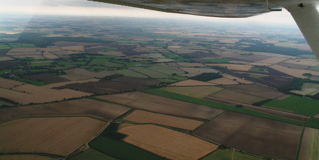
Baumber is a civil parish located in the East Lindsey district of Lincolnshire, England. Situated about 6 miles east of the market town of Horncastle, it covers an area of approximately 7 square miles. The village itself is small, with a population of around 200 residents.

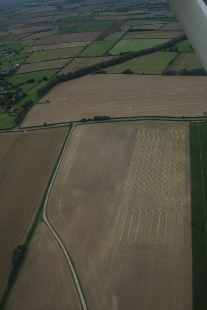
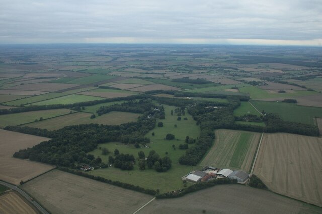
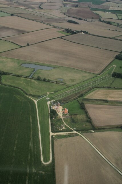
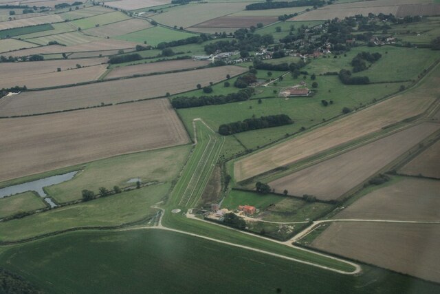
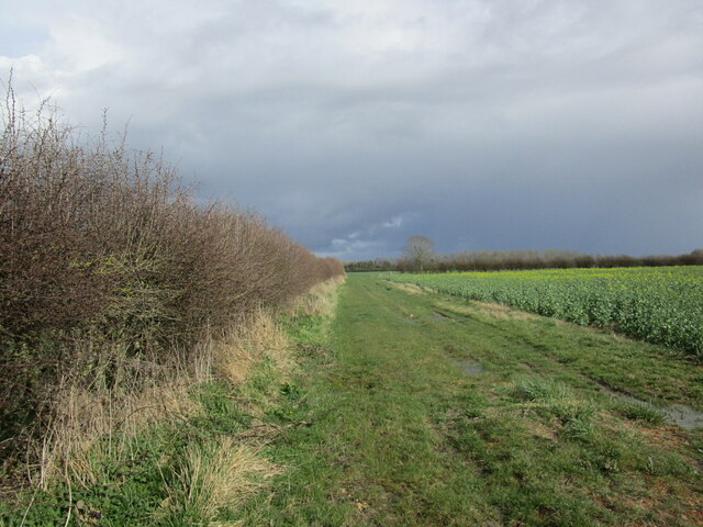
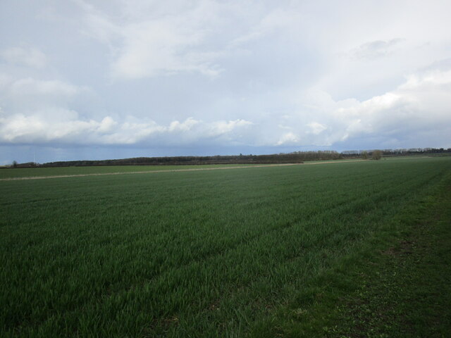
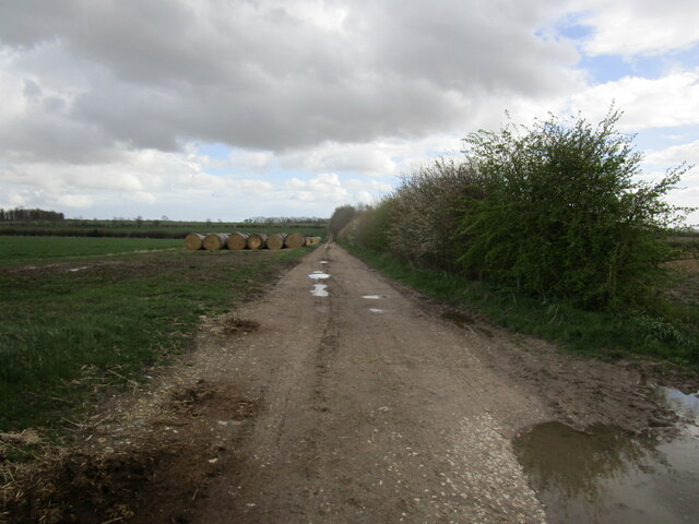
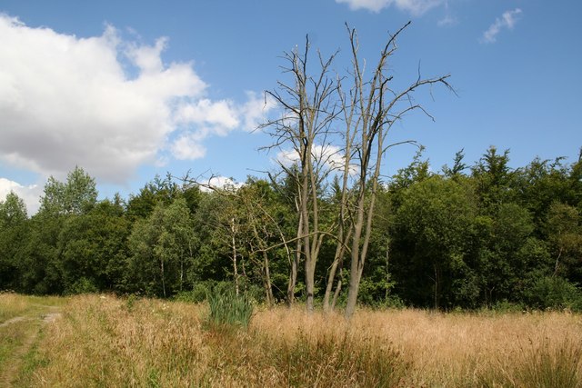
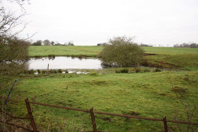
Baumber is known for its picturesque countryside, characterized by rolling hills, farmland, and woodlands. It is surrounded by the Lincolnshire Wolds, an Area of Outstanding Natural Beauty, offering stunning views and opportunities for outdoor activities such as hiking and cycling.

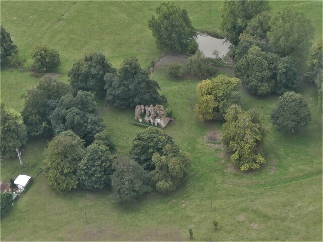
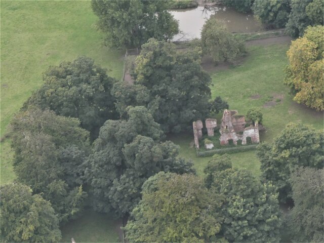
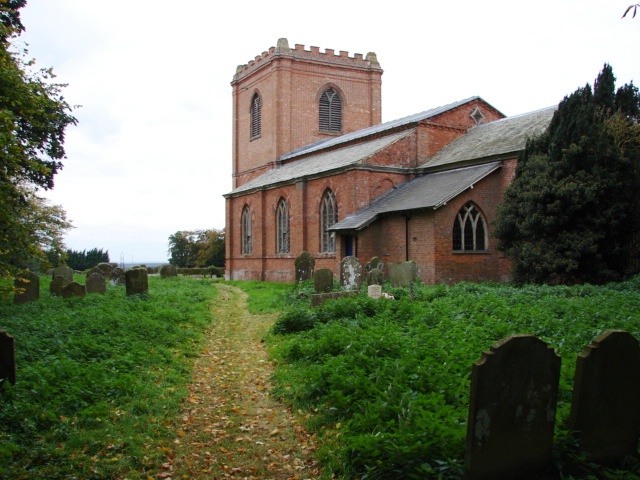
The village has a rich history, dating back to medieval times. St. Swithin's Church, a Grade II listed building, stands as a prominent landmark. The church was built in the 12th century and features an impressive tower and stained glass windows.

Despite its small size, Baumber has some amenities to offer its residents. There is a village hall that hosts community events and gatherings, providing a focal point for local social activities. Additionally, there is a small primary school that serves the village and the surrounding area.

Baumber's proximity to Horncastle provides easy access to a wider range of amenities, including shops, supermarkets, healthcare facilities, and schools. The village is well-connected by road, with the A158 passing nearby, allowing for convenient travel to nearby towns and cities.

Overall, Baumber is a charming and tranquil village that appeals to those seeking a peaceful rural lifestyle surrounded by natural beauty.

If you have any feedback on the listing, please let us know in the comments section below.

Baumber Images

Images are sourced within 2km of 53.252099/-0.181384 or Grid Reference TF2174. Thanks to Geograph Open Source API. All images are credited.

Bridleway to Baumber
Little Stourton Old Hall: aerial 2022 (1) Stourton Old Hall represents the extinct village of Little Stourton. It is the fragmentary ruin of a country house, dating to the 16th century with 18th century alterations. The house was deserted by 1810 when the Livesey family bought the Estate and built the new Hall in Stourton Park.

See <span class="nowrap"><a title="https://www.heritagegateway.org.uk/Gateway/Results_Single.aspx?uid=MLI40286&resourceID=1006" rel="nofollow ugc noopener" href="https://www.heritagegateway.org.uk/Gateway/Results_Single.aspx?uid=MLI40286&resourceID=1006">Link</a><img style="margin-left:2px;" alt="External link" title="External link - shift click to open in new window" src="https://s1.geograph.org.uk/img/external.png" width="10" height="10"/></span> and
<span class="nowrap"><a title="https://www.heritagegateway.org.uk/Gateway/Results_Single.aspx?uid=1359926&resourceID=5" rel="nofollow ugc noopener" href="https://www.heritagegateway.org.uk/Gateway/Results_Single.aspx?uid=1359926&resourceID=5">Link</a><img style="margin-left:2px;" alt="External link" title="External link - shift click to open in new window" src="https://s1.geograph.org.uk/img/external.png" width="10" height="10"/></span>
Little Stourton Old Hall: aerial 2022 (1)
Stourton Old Hall represents the extinct village of Little Stourton. It is the fragmentary ruin of a country house, dating to the 16th century with 18th century alterations. The house was deserted by 1810 when the Livesey family bought the Estate and built the new Hall in Stourton Park. See LinkExternal link and LinkExternal link
Little Stourton Old Hall: aerial 2022 (2) Stourton Old Hall represents the extinct village of Little Stourton. It is the fragmentary ruin of a country house, dating to the 16th century with 18th century alterations. The house was deserted by 1810 when the Livesey family bought the Estate and built the new Hall in Stourton Park.

See <span class="nowrap"><a title="https://www.heritagegateway.org.uk/Gateway/Results_Single.aspx?uid=MLI40286&resourceID=1006" rel="nofollow ugc noopener" href="https://www.heritagegateway.org.uk/Gateway/Results_Single.aspx?uid=MLI40286&resourceID=1006">Link</a><img style="margin-left:2px;" alt="External link" title="External link - shift click to open in new window" src="https://s1.geograph.org.uk/img/external.png" width="10" height="10"/></span> and
<span class="nowrap"><a title="https://www.heritagegateway.org.uk/Gateway/Results_Single.aspx?uid=1359926&resourceID=5" rel="nofollow ugc noopener" href="https://www.heritagegateway.org.uk/Gateway/Results_Single.aspx?uid=1359926&resourceID=5">Link</a><img style="margin-left:2px;" alt="External link" title="External link - shift click to open in new window" src="https://s1.geograph.org.uk/img/external.png" width="10" height="10"/></span>
Little Stourton Old Hall: aerial 2022 (2)
Stourton Old Hall represents the extinct village of Little Stourton. It is the fragmentary ruin of a country house, dating to the 16th century with 18th century alterations. The house was deserted by 1810 when the Livesey family bought the Estate and built the new Hall in Stourton Park. See LinkExternal link and LinkExternal link
Garden House on the Stourton Estate: aerial 2022 (1)
Garden House on the Stourton Estate: aerial 2022 (2)
Fields east of Stourton Wood: aerial 2022
Part of the Stourton Estate: aerial 2022
Watermill Farm, Hemingby: aerial 2022 (1)
Watermill Farm, Hemingby: aerial 2022 (2)
Field edge and oilseed rape near Hungram Farm
Autumn sown crop near Baumber
Farm track near Baumber Park
Hungram Gorse Looking south on the green lane at Hungram Gorse, the parish boundary between Baumber and Minting
Hungram Gorse
Looking south on the green lane at Hungram Gorse, the parish boundary between Baumber and Minting
Hungram Lane Looking north at Hungram Gorse
Hungram Lane
Looking north at Hungram Gorse
Cockle Shells Unusual ballast for the footpath at Hungram
Cockle Shells
Unusual ballast for the footpath at Hungram
Bridleway to Baumber The white ballast isn't chalk as first thought .... but millions of cockle shells ! <a title="https://www.geograph.org.uk/photo/390585" href="https://www.geograph.org.uk/photo/390585">Link</a>
Bridleway to Baumber
The white ballast isn't chalk as first thought .... but millions of cockle shells ! Link
Bridleway to Minting
South of Baumber Park: aerial 2015 Baumber Park is to the right.
South of Baumber Park: aerial 2015
Baumber Park is to the right.
Show me another place!

Baumber is located at Grid Ref: TF2174 (Lat: 53.252099, Lng: -0.181384)

Administrative County: Lincolnshire

District: East Lindsey

Police Authority: Lincolnshire

What 3 Words

///unhappily.tape.finely. Near Horncastle, Lincolnshire

Related Wikis

Baumber

Baumber ( BAWM-bər) is a village and civil parish in the East Lindsey district of Lincolnshire, England. It is situated approximately 4 miles (6 km) north...

Hanby Hall

Hanby Hall is a Grade II* listed early 18th-century building in Alford, Lincolnshire. Hanby Hall was built by John Andrews. It is situated opposite St...
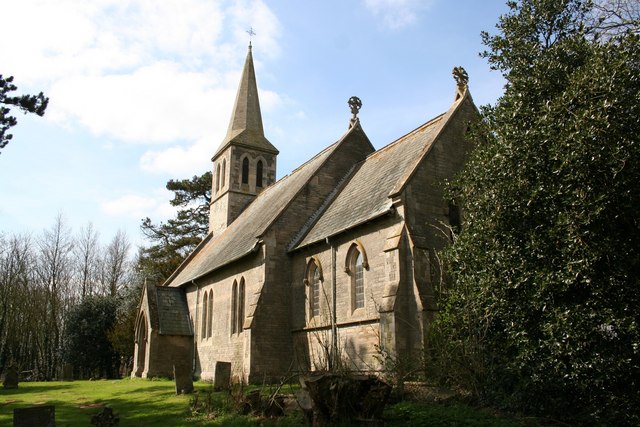
Hemingby

Hemingby is a dispersed village and civil parish in the East Lindsey district of Lincolnshire, England. It is situated approximately 3 miles (5 km) north...

Great Sturton

Great Sturton is a hamlet and civil parish in the East Lindsey district of Lincolnshire, England. It is situated approximately 7 miles (11 km) from the...

Minting

Minting is a village and civil parish in the East Lindsey district of Lincolnshire, England. The village is situated 1 mile (1.6 km) south from the A158...

Wispington

Wispington is a village in the civil parish of Edlington with Wispington, in East Lindsey, Lincolnshire, England. It is situated 2 miles (3 km) west from...

Edlington with Wispington

Edlington with Wispington is a civil parish in the East Lindsey district of Lincolnshire, England. It is approximately 2 miles (3 km) north-west of Horncastle...

Minting Priory

Minting Priory was a priory in Minting, Lincolnshire, England. The priory for Benedictine monks was founded by Ranulf de Meschines, earl of Chester, to...

Nearby Amenities

Located within 500m of 53.252099,-0.181384
Power: pole
Lat/Long: 53.2503469/-0.1875629
Power: pole
Lat/Long: 53.2511589/-0.1880296
Power: pole
Lat/Long: 53.2477487/-0.1819644
Power: pole
Lat/Long: 53.2482761/-0.1807194
Power: pole
Lat/Long: 53.2485864/-0.1799435
Power: pole
Lat/Long: 53.2491861/-0.1785743
Power: pole
Lat/Long: 53.2496037/-0.1775331
Power: pole
Lat/Long: 53.2500642/-0.1760706
Power: pole
Lat/Long: 53.2504659/-0.1747782
Power: pole
Lat/Long: 53.249507/-0.1870546
Power: pole
Lat/Long: 53.2545117/-0.1750395
Hightoft
Place: isolated_dwelling
Source: Bing
Lat/Long: 53.2545086/-0.1755493
The data included in this document is from www.openstreetmap.org. The data is made available under ODbL.

Have you been to Baumber?

Leave your review of Baumber below (or comments, questions and feedback).