Bathampton
Civil Parish in Somerset
England
Bathampton
Bathampton is a civil parish located in Somerset, England. Situated just east of the city of Bath, it is a picturesque village that offers a tranquil setting and stunning natural beauty. The parish covers an area of approximately 2.5 square miles.
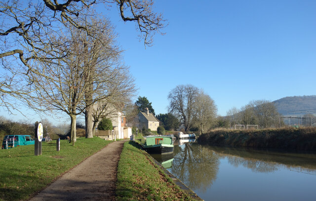
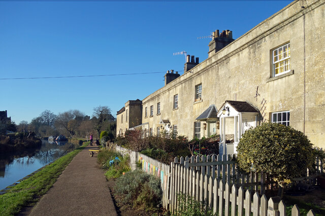
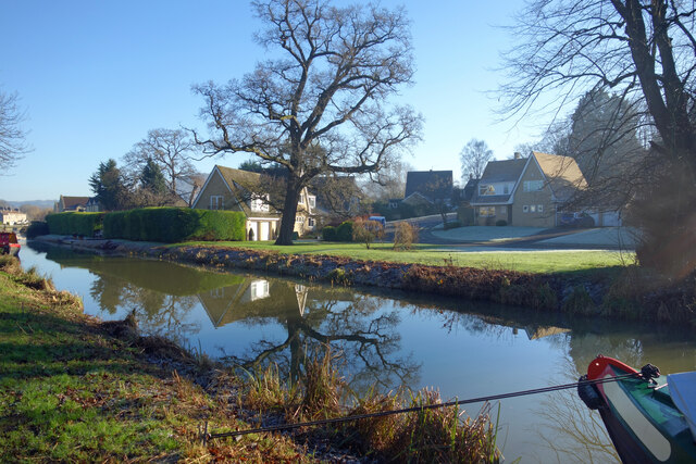
Bathampton is known for its charming architecture, with many historic buildings that date back several centuries. The village is predominantly residential, with a mix of traditional stone cottages and more modern houses. The River Avon runs through Bathampton, adding to its appeal and providing opportunities for leisurely walks along its banks.
The parish is well-connected, with good transport links to Bath and surrounding areas. The A36 road passes through Bathampton, providing easy access to major routes. The village also has its own railway station, Bathampton Mill, which offers regular services to Bath and Bristol.
Bathampton is home to a number of amenities and services, including a primary school, a village hall, and a post office. There are also several pubs and restaurants in the area, offering a range of dining options.
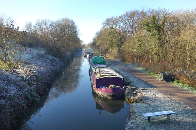
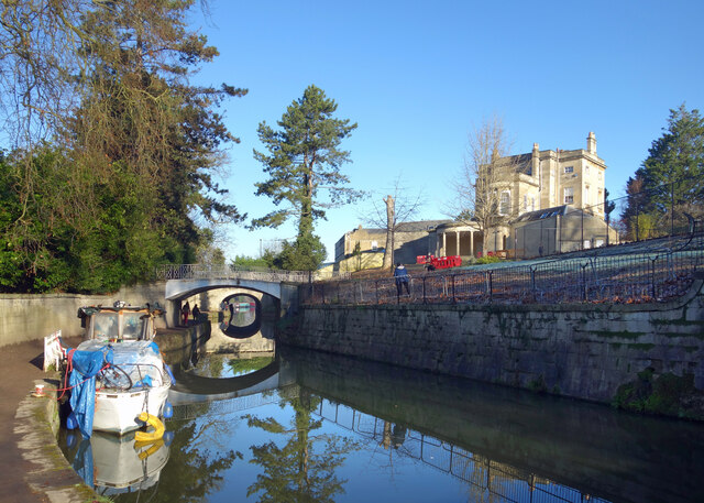
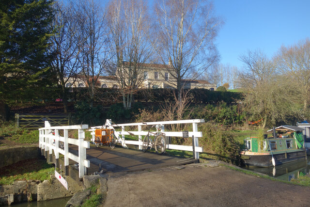
The village is surrounded by beautiful countryside, making it an ideal location for outdoor enthusiasts. The nearby Bathampton Down is a popular spot for walking and enjoying panoramic views of the surrounding landscape. The Kennet and Avon Canal also runs close to Bathampton, providing opportunities for boating and cycling.
Overall, Bathampton is a charming and idyllic village that offers a peaceful and scenic setting, while still being conveniently located near the city of Bath.
If you have any feedback on the listing, please let us know in the comments section below.
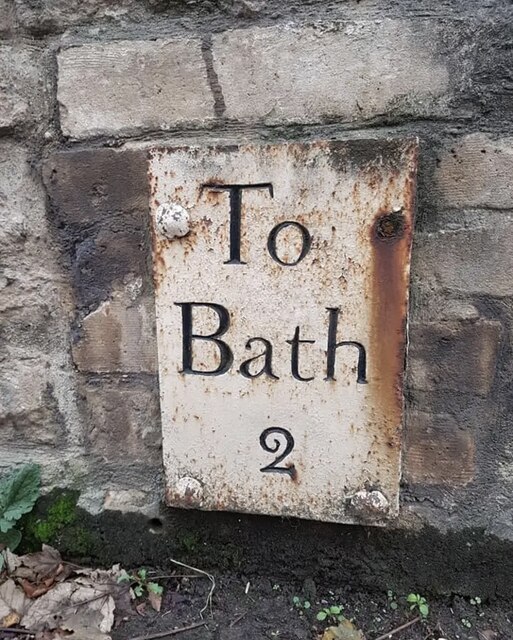
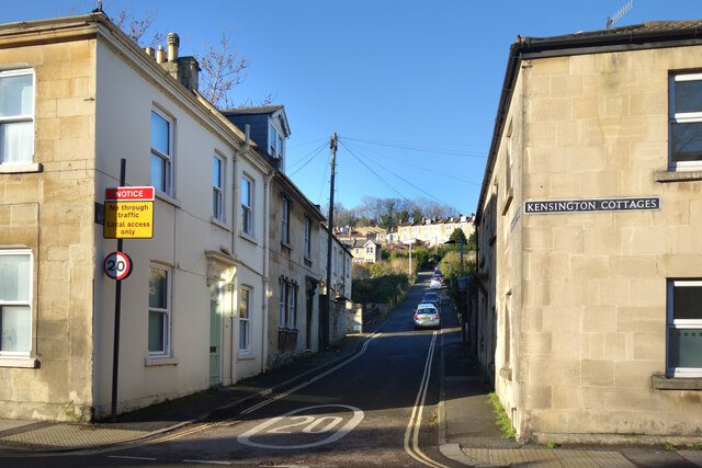
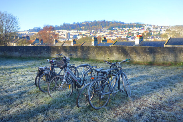
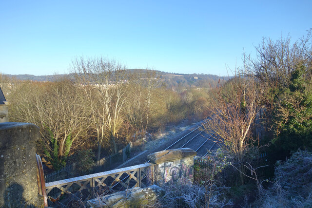
Bathampton Images
Images are sourced within 2km of 51.392402/-2.324589 or Grid Reference ST7765. Thanks to Geograph Open Source API. All images are credited.


Bathampton is located at Grid Ref: ST7765 (Lat: 51.392402, Lng: -2.324589)
Unitary Authority: Bath and North East Somerset
Police Authority: Avon and Somerset
What 3 Words
///lance.hope.school. Near Bathford, Somerset
Nearby Locations
Related Wikis
Bathampton
Bathampton () is a village and civil parish 2 miles (3 km) east of Bath, England on the south bank of the River Avon. The parish has a population of 1...
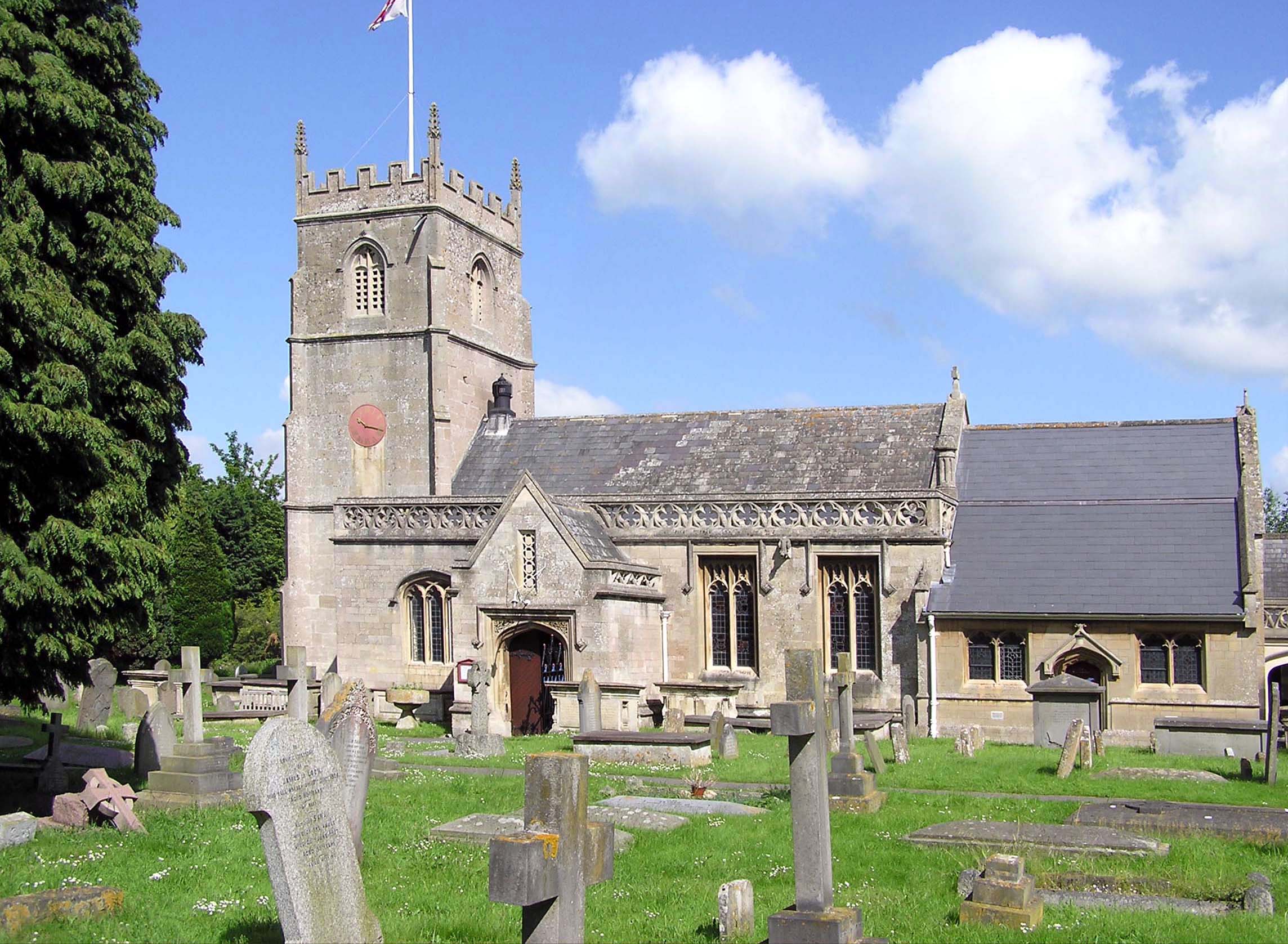
Church of St Nicholas, Bathampton
The Church of St Nicholas is an Anglican parish church in Bathampton, Somerset, standing between the River Avon and the Kennet and Avon Canal. Built in...

Bathampton railway station
Bathampton railway station is a former railway station in Bath, UK, serving the community of Bathampton. The station opened on 2 February 1857 and closed...
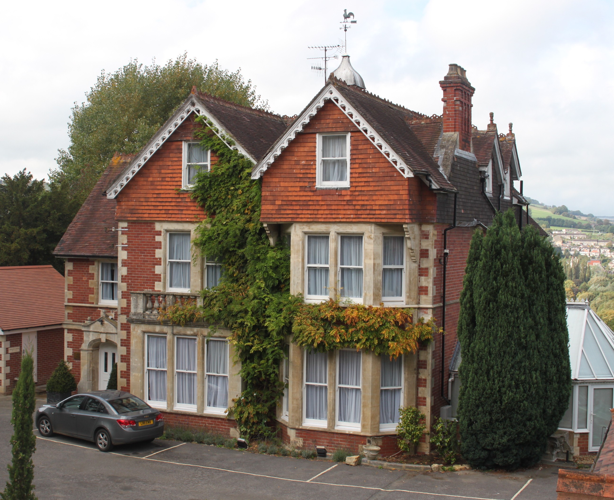
Tasburgh House Hotel
Tasburgh House Hotel is a hotel in Bath, Somerset, England.Tasburgh House was built in 1891 by photographer John Berryman. Although Bath was being built...
Nearby Amenities
Located within 500m of 51.392402,-2.324589Have you been to Bathampton?
Leave your review of Bathampton below (or comments, questions and feedback).