Bathampton Wood

Wood, Forest in Somerset

England

Bathampton Wood

Old Milepost by the A4, London Road West, Batheaston Cast iron post by the A4, in parish of BATHEASTON (BATH AND NORTH EAST SOMERSET District), London Road West, by Bathway House, No. 144, set in dressed stone wall, on South side of road. Bath incised iron plate, erected by the Bath turnpike trust in the 18th century. 

Inscription reads:-
To
Bath
2

Milestone Society National ID: SO_BACH02.
Old Milepost by the A4, London Road West, Batheaston Credit: Abigail Newton

Bathampton Wood is a picturesque woodland located in Somerset, England. Covering an area of approximately 50 acres, this ancient woodland is a popular destination for nature lovers and outdoor enthusiasts.

The wood is characterized by a diverse range of tree species, including oak, ash, beech, and sycamore. These towering trees create a dense canopy, providing a cool and shaded environment for visitors to explore. The forest floor is adorned with a carpet of bluebells during the spring months, creating a stunning display of color.

Bathampton Wood is home to a rich variety of wildlife, making it an important habitat for many species. Birdwatchers will delight in the opportunity to spot woodpeckers, nuthatches, and tawny owls among the trees. The wood also supports a thriving population of mammals such as deer, foxes, and badgers.

There are several walking trails that wind through the wood, allowing visitors to immerse themselves in the natural beauty of the surroundings. These trails vary in difficulty, catering to both casual strollers and more experienced hikers. Along the way, walkers can enjoy the tranquil atmosphere and listen to the sounds of nature.

Bathampton Wood is easily accessible, with a car park available for visitors. It is also located close to the historic city of Bath, making it a popular destination for day trips. Whether you are seeking a peaceful retreat or an opportunity to connect with nature, Bathampton Wood offers a truly enchanting experience.

If you have any feedback on the listing, please let us know in the comments section below.

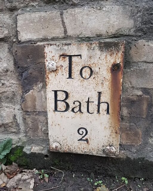
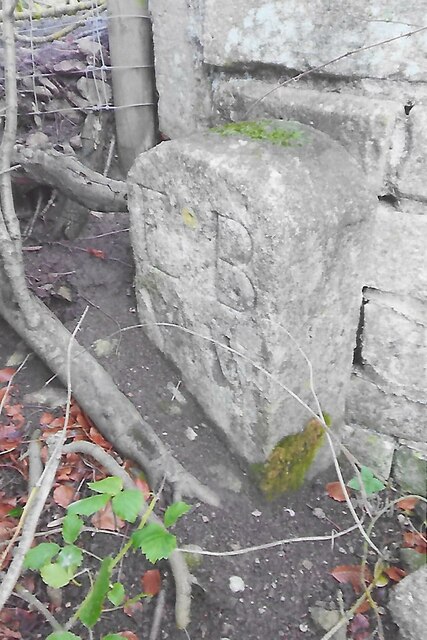
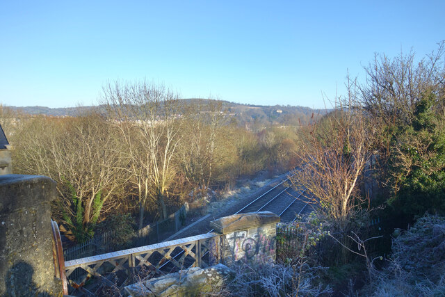
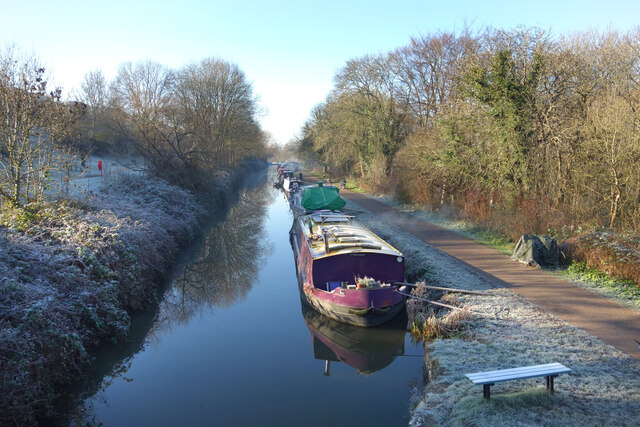
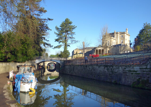
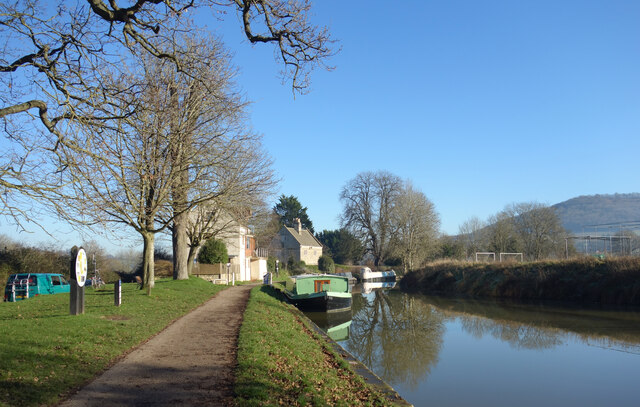
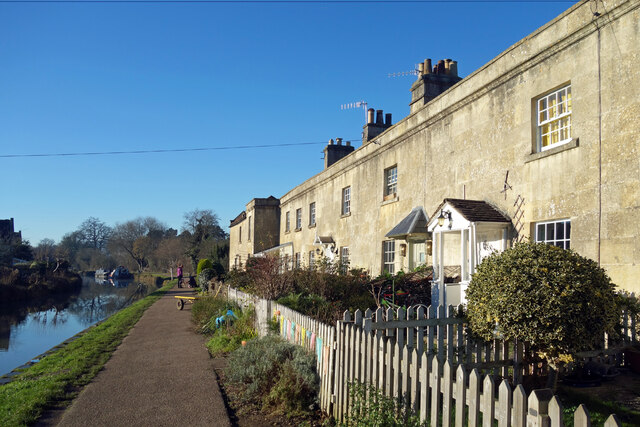
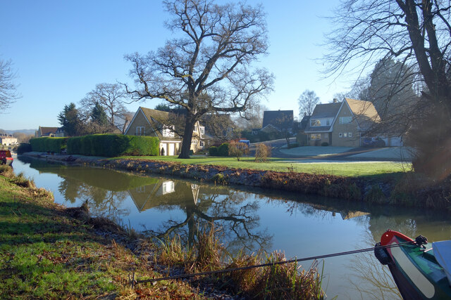
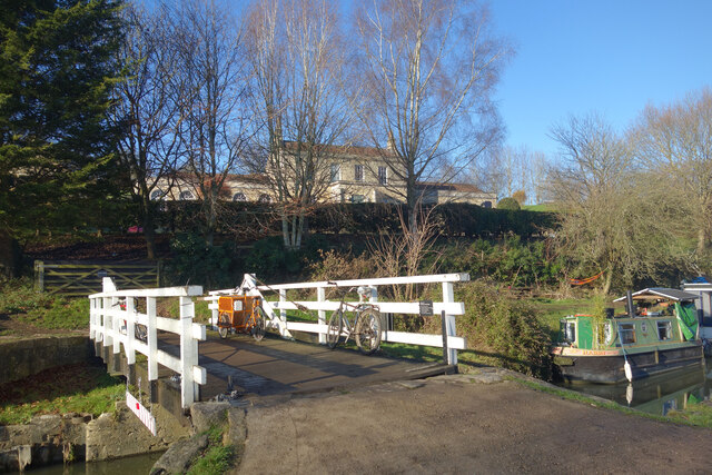
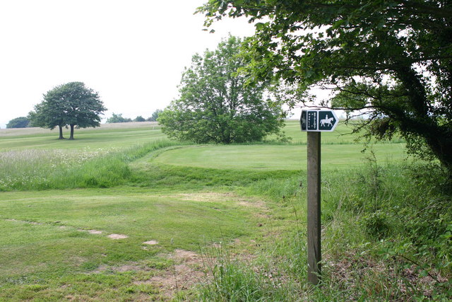
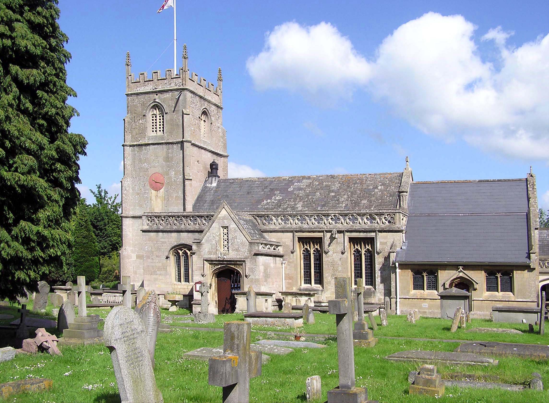
Bathampton Wood Images

Images are sourced within 2km of 51.386513/-2.320054 or Grid Reference ST7765. Thanks to Geograph Open Source API. All images are credited.

Old Milepost by the A4, London Road West, Batheaston Cast iron post by the A4, in parish of BATHEASTON (BATH AND NORTH EAST SOMERSET District), London Road West, by Bathway House, No. 144, set in dressed stone wall, on South side of road. Bath incised iron plate, erected by the Bath turnpike trust in the 18th century. 

Inscription reads:-
To
Bath
2

Milestone Society National ID: SO_BACH02.
Old Milepost by the A4, London Road West, Batheaston
Cast iron post by the A4, in parish of BATHEASTON (BATH AND NORTH EAST SOMERSET District), London Road West, by Bathway House, No. 144, set in dressed stone wall, on South side of road. Bath incised iron plate, erected by the Bath turnpike trust in the 18th century. Inscription reads:- To Bath 2 Milestone Society National ID: SO_BACH02.
Grass Amphitheatre at The University of Bath
Norwood Avenue Entrance to University of Bath
Fingerpost, Bathford On the junction of Bath Hill with Ostlings Lane, and Bathford Road, A363. 
There is an older image (see <a title="https://www.geograph.org.uk/photo/6044960" href="https://www.geograph.org.uk/photo/6044960">Link</a> ) before recent renovation and painting.
Pyramid finial - 3 arms Somerset SCC pyramid finial, in the parish of Bathford (Bath and North East Somerset District), on grass triangle, by bench and planter.

Milestone Society National ID: SO_ST7866
Fingerpost, Bathford
On the junction of Bath Hill with Ostlings Lane, and Bathford Road, A363. There is an older image (see Link ) before recent renovation and painting. Pyramid finial - 3 arms Somerset SCC pyramid finial, in the parish of Bathford (Bath and North East Somerset District), on grass triangle, by bench and planter. Milestone Society National ID: SO_ST7866
Balloons over Bath
Balloons over Bath
Cave entrance, Brown's Folly Nature Reserve No great depth to this cave
Cave entrance, Brown's Folly Nature Reserve
No great depth to this cave
Footpath, Bathford Hill A clearing in Brown's Folly Nature Reserve, the folly itself on the hilltop. The Reserve is a Site of Special Scientific Interest.
Footpath, Bathford Hill
A clearing in Brown's Folly Nature Reserve, the folly itself on the hilltop. The Reserve is a Site of Special Scientific Interest.
View downhill from Browne's Folly Nature Reserve
Clearing on Bathford Hill Popular spot for a stroll and for the extensive views
Clearing on Bathford Hill
Popular spot for a stroll and for the extensive views
Old Boundary Marker south of Widcombe Hill, Bath Boundary Marker where a stone wall meets a fence in the middle of a wood south of Widcombe Hill, a road. Not marked on OS maps until 1904. On the former boundary of Bathwick and Claverton parishes, from 1900 Bath and Claverton parishes, from 1951 entirely in Bath parish. The inscription E B / V W does not relate to any of these. 

Milestone Society National ID: SO_BATH05bm
Old Boundary Marker south of Widcombe Hill, Bath
Boundary Marker where a stone wall meets a fence in the middle of a wood south of Widcombe Hill, a road. Not marked on OS maps until 1904. On the former boundary of Bathwick and Claverton parishes, from 1900 Bath and Claverton parishes, from 1951 entirely in Bath parish. The inscription E B / V W does not relate to any of these. Milestone Society National ID: SO_BATH05bm
Frosty Bikes by the Canal A scene along the Kennet & Avon Canal towpath on a cold January morning.
Frosty Bikes by the Canal
A scene along the Kennet & Avon Canal towpath on a cold January morning.
Looking down on the Railway Canal and railway are side by side along here, with the canal up on an embankment quite a bit higher than the trains.
Looking down on the Railway
Canal and railway are side by side along here, with the canal up on an embankment quite a bit higher than the trains.
Canal on a Cold Morning A lovely crisp winter morning along the Kennet & Avon Canal.
Canal on a Cold Morning
A lovely crisp winter morning along the Kennet & Avon Canal.
The K&A Canal at Sydney Gardens When built, the canal was required to be as unobtrusive as possible through this fashionable part of Bath.
The K&A Canal at Sydney Gardens
When built, the canal was required to be as unobtrusive as possible through this fashionable part of Bath.
Kennet & Avon Canal at Bathampton
Canal Terrace, Bathampton A terrace of early 19th century canalside houses.
Canal Terrace, Bathampton
A terrace of early 19th century canalside houses.
Kennet Park, Bathampton Houses near the Kennet & Avon Canal.
Kennet Park, Bathampton
Houses near the Kennet & Avon Canal.
Bikes on the Bridge Bathampton Swing Bridge over the Kennet & Avon Canal with Holcombe Villa in the background.
Bikes on the Bridge
Bathampton Swing Bridge over the Kennet & Avon Canal with Holcombe Villa in the background.
Show me another place!

Bathampton Wood is located at Grid Ref: ST7765 (Lat: 51.386513, Lng: -2.320054)

Unitary Authority: Bath and North East Somerset

Police Authority: Avon and Somerset

What 3 Words

///rides.dream.stop. Near Bathford, Somerset

Related Wikis

Bathampton Down

Bathampton Down is a flat limestone plateau in Bathampton, Somerset, England, overlooking the River Avon and the city of Bath. There is evidence of man...

Bathampton

Bathampton () is a village and civil parish 2 miles (3 km) east of Bath, England on the south bank of the River Avon. The parish has a population of 1...

University of Bath

The University of Bath is a public research university in Bath, England. It received its royal charter in 1966, along with a number of other institutions...

University Radio Bath

University Radio Bath or URB is the student-run radio station from the University of Bath, England. == About == University Radio Bath is run entirely by...

Nearby Amenities

Located within 500m of 51.386513,-2.320054
Tourism: viewpoint
Lat/Long: 51.3873246/-2.3257568
Barrier: stile
Lat/Long: 51.3871963/-2.3232541
Note: National speed limit sign southbound
Source: survey
Traffic Sign Forward: GB:671
Lat/Long: 51.3894148/-2.3167158
Barrier: stile
Lat/Long: 51.3903803/-2.3164239
Barrier: kissing_gate
Lat/Long: 51.3840134/-2.3196763
Disused mines
Historic: ruins
Note: Several openings to the old disused mines beneath the golf course exist in this area, they are sealed off now by metal bars but are home to rare bat species
Lat/Long: 51.3851275/-2.3205592
Barrier: stile
Lat/Long: 51.3880625/-2.3241874
Bench
Lat/Long: 51.3881666/-2.3251156
Bench
Backrest: yes
Material: wood
Lat/Long: 51.3872637/-2.325649
Barrier: kissing_gate
Lat/Long: 51.3894285/-2.3179806
Grit Bin
Lat/Long: 51.389655/-2.3195834
Grit Bin
Lat/Long: 51.3899579/-2.3191388
Grit Bin
Lat/Long: 51.3904993/-2.321609
Bench
Lat/Long: 51.3909374/-2.3213289
Golf: pin
Lat/Long: 51.3867968/-2.3247515
Golf: tee
Lat/Long: 51.386467/-2.3254588
Golf: pin
Lat/Long: 51.383472/-2.3224855
Golf: tee
Lat/Long: 51.3836067/-2.3211052
Golf: pin
Lat/Long: 51.384879/-2.322174
Golf: tee
Lat/Long: 51.3854157/-2.3214768
Golf: pin
Lat/Long: 51.3858663/-2.3219121
Golf: tee
Lat/Long: 51.386043/-2.3228854
Golf: pin
Lat/Long: 51.3855836/-2.3246161
Golf: tee
Lat/Long: 51.386096/-2.3243896
Bench
Backrest: yes
Material: wood
Seats: 3
Lat/Long: 51.3878268/-2.3260746
Bench
Backrest: yes
Material: wood
Seats: 2
Lat/Long: 51.3894912/-2.3147711
Barrier: stile
Lat/Long: 51.3867973/-2.3215249
The data included in this document is from www.openstreetmap.org. The data is made available under ODbL.

Have you been to Bathampton Wood?

Leave your review of Bathampton Wood below (or comments, questions and feedback).