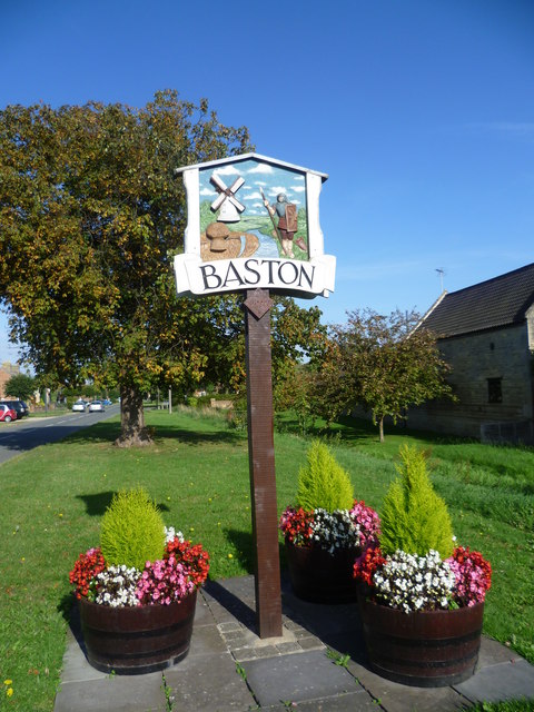
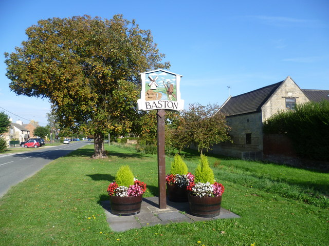
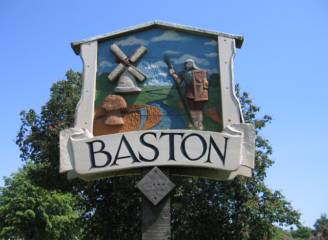
Baston

Civil Parish in Lincolnshire South Kesteven

England

Baston

Field north of the River Glen A field to the north of the River Glen.
Field north of the River Glen Credit: Ajay Tegala

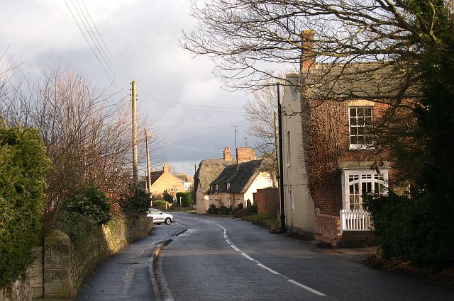
Baston is a civil parish located in the county of Lincolnshire, England. It is situated approximately 8 miles east of the town of Stamford and 10 miles north of Peterborough. The village is set along the A15 road, which provides convenient access to nearby towns and cities.

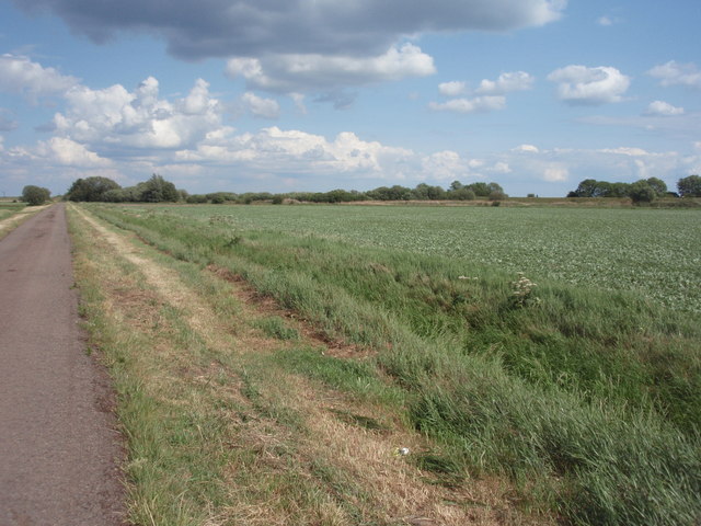
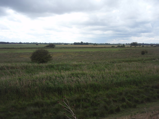
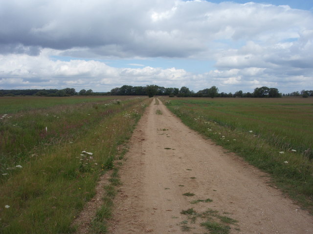
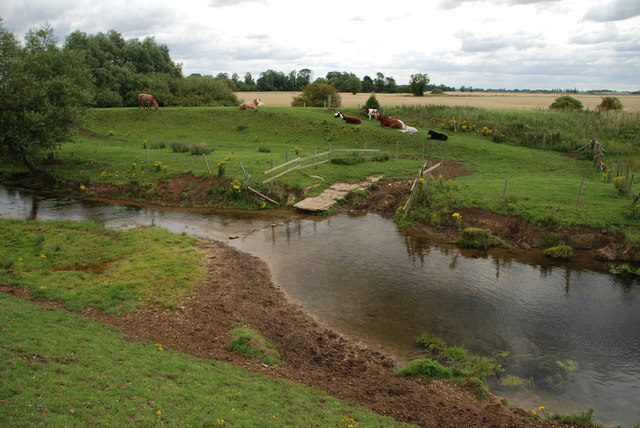
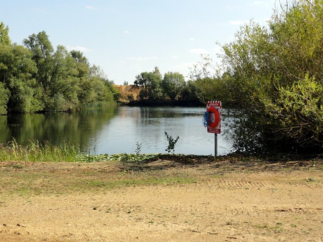
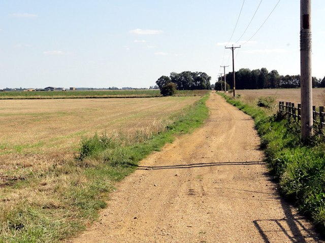
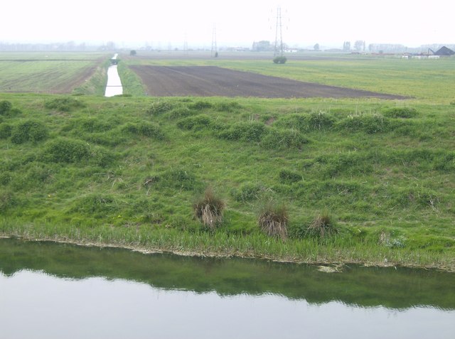
Baston is a small and picturesque village with a population of around 1,500 residents. It is known for its charming countryside setting, with rolling fields and lush green landscapes surrounding the village. The River Glen also runs through the parish, adding to its natural beauty.

The village has a rich history, dating back to Roman times. It was once an important stop on the Great North Road, which connected London to the north of England. Today, visitors can still see remnants of this historical significance, such as the Roman road and the remains of a Roman bridge.

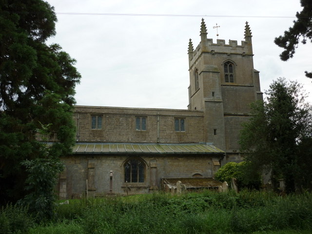
In terms of amenities, Baston offers a range of facilities to its residents. These include a primary school, a village hall, a church, and several shops and pubs. The community in Baston is close-knit and friendly, with various social and recreational activities organized throughout the year.

Overall, Baston is a tranquil and picturesque village that offers a peaceful and idyllic lifestyle. Its rich history, natural beauty, and community spirit make it an attractive place to live or visit in Lincolnshire.

If you have any feedback on the listing, please let us know in the comments section below.
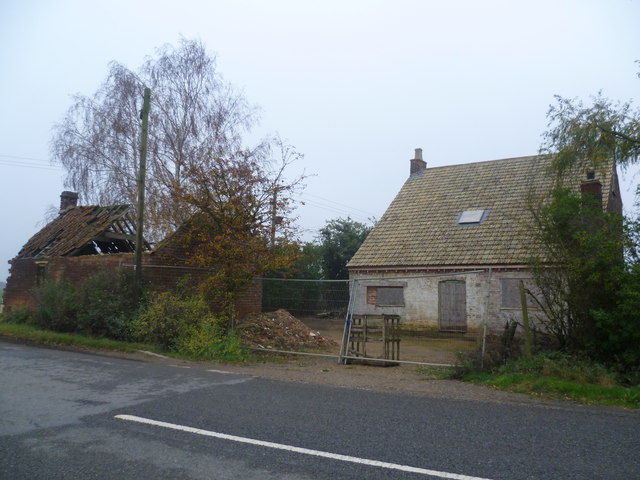
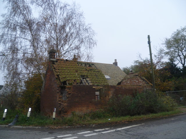
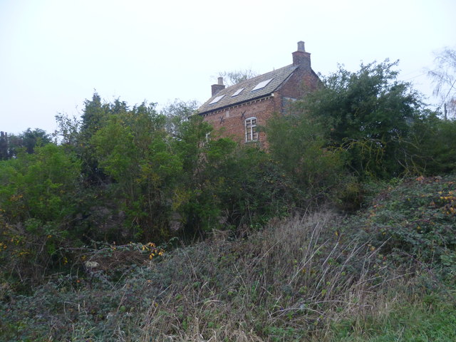
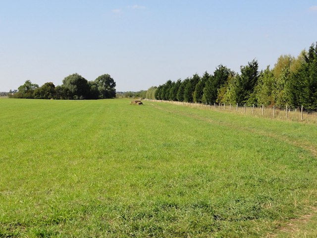
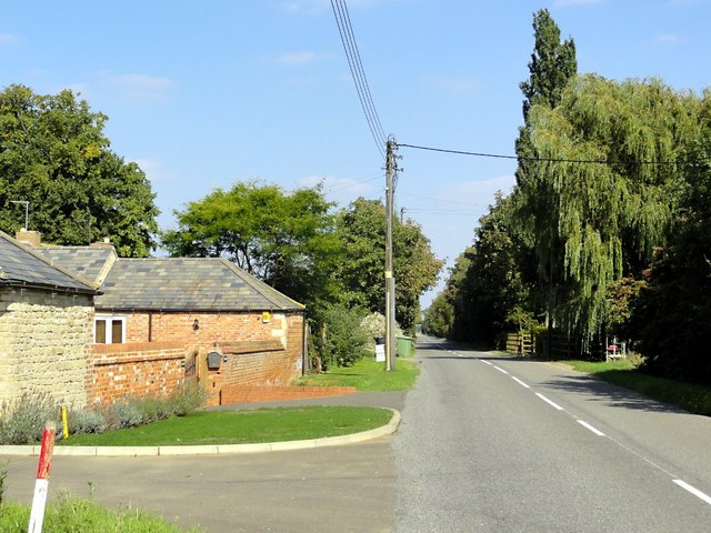
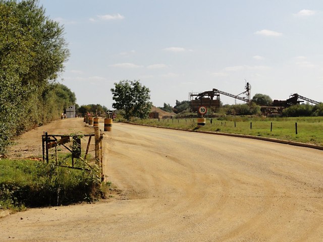
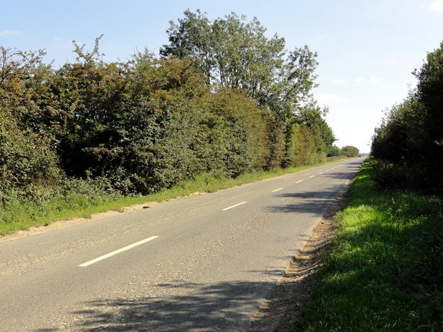
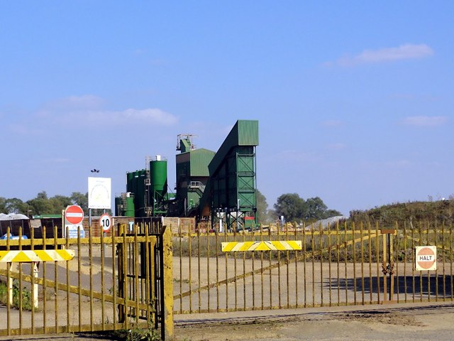
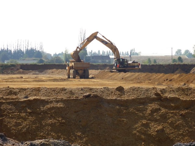
Baston Images

Images are sourced within 2km of 52.722033/-0.330716 or Grid Reference TF1215. Thanks to Geograph Open Source API. All images are credited.

Field north of the River Glen A field to the north of the River Glen.
Field north of the River Glen
A field to the north of the River Glen.
Baston Fen Part of the Baston Fen nature reserve viewed from the footpath on the south River Glen bank.
Baston Fen
Part of the Baston Fen nature reserve viewed from the footpath on the south River Glen bank.
North Meadow Road Looking north along North Meadow Road towards the River Glen.
North Meadow Road
Looking north along North Meadow Road towards the River Glen.
Cattle Ford at Thurlby Fen near Thurlby This ford is found on the West Glen River at Thulby Fen.
Cattle Ford at Thurlby Fen near Thurlby
This ford is found on the West Glen River at Thulby Fen.
Baston village sign The village sign at Baston was erected alongside Main Street to mark the new Millennium. The illustrated sign depicts scenes from the village's past. The village lies between the Roman road known as King Street, and the canal called Car Dyke which the Romans used to haul men and supplies to their armies in the north. The sign includes a Roman soldier, Hudson's corn mill and a stook (representing agriculture). A time capsule is buried beneath the sign.
Baston village sign
The village sign at Baston was erected alongside Main Street to mark the new Millennium. The illustrated sign depicts scenes from the village's past. The village lies between the Roman road known as King Street, and the canal called Car Dyke which the Romans used to haul men and supplies to their armies in the north. The sign includes a Roman soldier, Hudson's corn mill and a stook (representing agriculture). A time capsule is buried beneath the sign.
Derelict pub on Baston Outgang Road It appears as if the former New Inn on the corner of Baston Outgang Road and Cross Road was being restored as a dwelling. Certainly the rubbish piled in front of it as seen on Street View seems to have been cleared and the roof has been repaired.
Derelict pub on Baston Outgang Road
It appears as if the former New Inn on the corner of Baston Outgang Road and Cross Road was being restored as a dwelling. Certainly the rubbish piled in front of it as seen on Street View seems to have been cleared and the roof has been repaired.
Former New Inn at Baston Outang Road It appears as if the former New Inn on the corner of Baston Outgang Road and Cross Road was being restored as a dwelling. Certainly the rubbish piled in front of it as seen on Street View seems to have been cleared and the roof has been repaired. The outbuilding in front though is still completely derelict.
Former New Inn at Baston Outang Road
It appears as if the former New Inn on the corner of Baston Outgang Road and Cross Road was being restored as a dwelling. Certainly the rubbish piled in front of it as seen on Street View seems to have been cleared and the roof has been repaired. The outbuilding in front though is still completely derelict.
Former New Inn as seen from Cross Road It appears as if the former New Inn on the corner of Baston Outgang Road and Cross Road was being restored as a dwelling. Certainly the rubbish piled in front of it as seen on Street View seems to have been cleared and the roof has been repaired. This is the view of the back of it seen from Cross Road.
Former New Inn as seen from Cross Road
It appears as if the former New Inn on the corner of Baston Outgang Road and Cross Road was being restored as a dwelling. Certainly the rubbish piled in front of it as seen on Street View seems to have been cleared and the roof has been repaired. This is the view of the back of it seen from Cross Road.
Grass and Trees Looking along the edge of a long narrow plantation. The semicircle of trees in the distance cover part of an ancient moat.
Grass and Trees
Looking along the edge of a long narrow plantation. The semicircle of trees in the distance cover part of an ancient moat.
Langtoft Outgang Road Looking north east along the road with Park Farm on the left.
Langtoft Outgang Road
Looking north east along the road with Park Farm on the left.
Flooded Gravel Pit This area is covered with these flooded gravel pits, what remains when gravel extraction has moved on, but getting a view of them from the road is frustratingly difficult. I don't think public access is allowed but there is a lifebuoy here just in case.
Flooded Gravel Pit
This area is covered with these flooded gravel pits, what remains when gravel extraction has moved on, but getting a view of them from the road is frustratingly difficult. I don't think public access is allowed but there is a lifebuoy here just in case.
Sand And Gravel Works This looks to be the main entrance to the sorting and storage facility.
Sand And Gravel Works
This looks to be the main entrance to the sorting and storage facility.
Cross Road The thick hedges hide the flooded gravel pits on either side of this straight fenland road.
Cross Road
The thick hedges hide the flooded gravel pits on either side of this straight fenland road.
Gravel Works Looking through the gate to the gravel processing works.
Gravel Works
Looking through the gate to the gravel processing works.
Sand and Gravel Extraction in Progress This pit is new enough not to be marked on my map. An excavator scoops up the gravel and loads it into a large dumper truck.
Sand and Gravel Extraction in Progress
This pit is new enough not to be marked on my map. An excavator scoops up the gravel and loads it into a large dumper truck.
Fenland Track This track goes arrow straight across the fenland at right angles to Baston Outgang Road.
Fenland Track
This track goes arrow straight across the fenland at right angles to Baston Outgang Road.
St John the Baptist Church, Baston
Show me another place!

Baston is located at Grid Ref: TF1215 (Lat: 52.722033, Lng: -0.330716)

Administrative County: Lincolnshire

District: South Kesteven

Police Authority: Lincolnshire

What 3 Words

///pioneered.riverbank.fabricate. Near Baston, Lincolnshire

Nearby Locations

Hack's Plantation Baston

Related Wikis

Thetford, Lincolnshire

Thetford is a hamlet and farm in the civil parish of Baston in the South Kesteven district of Lincolnshire, England. Although Thetford has shrunken to...

Baston

Baston is a village and parish on the edge of The Fens and in the administrative district of South Kesteven, Lincolnshire, England. The 2011 census reported...

Kirkstone House School

Kirkstone House School is an independent day school situated in the rural village of Baston in south Lincolnshire, England.The school provides education...

Kates Bridge

Kates Bridge is a landmark settlement on the A15 road, in the parish of Thurlby. It is approximately 3 miles (5 km) south from Bourne, Lincolnshire, England...

Langtoft, Lincolnshire

Langtoft is a village and civil parish in the South Kesteven district of Lincolnshire, England. The population of the civil parish at the 2021 census was...

Obthorpe

Obthorpe is a hamlet in the civil parish of Thurlby, in the South Kesteven district of Lincolnshire, England. It lies 3 miles (5 km) south from Bourne...

Gilbert Heathcote's tunnel

Gilbert Heathcote's tunnel was an engineering project dating from the 1630s as one of the earliest modern attempts to drain The Fens in Lincolnshire....

Thurlby, South Kesteven

Thurlby is a village and civil parish in the South Kesteven district of Lincolnshire, England. It is situated just west of the A15 road, 2 miles (3 km...

Nearby Amenities

Located within 500m of 52.722033,-0.330716
South Meadow
Place: locality
Source: Bing
Lat/Long: 52.7195544/-0.3315656
South Meadow
Place: locality
Source: Bing
Lat/Long: 52.7216293/-0.3273067
Building: yes
Lat/Long: 52.7255196/-0.3321089
The data included in this document is from www.openstreetmap.org. The data is made available under ODbL.

Have you been to Baston?

Leave your review of Baston below (or comments, questions and feedback).