Bassingham
Civil Parish in Lincolnshire North Kesteven
England
Bassingham
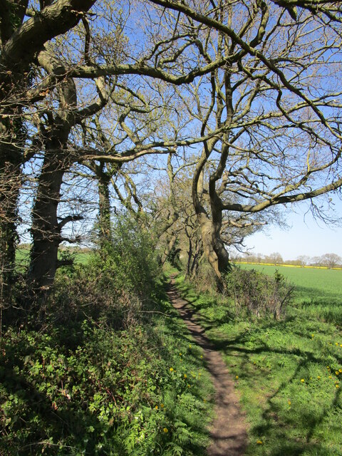
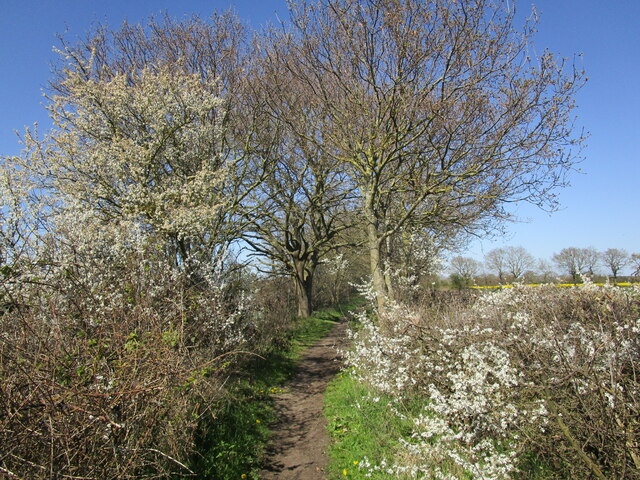
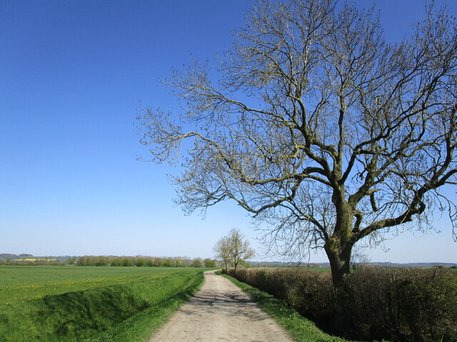
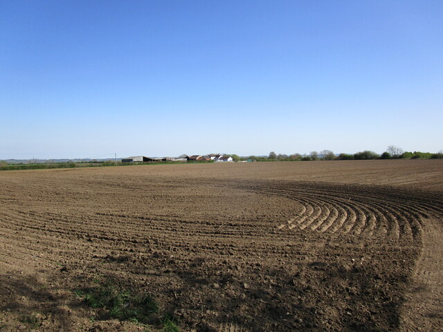
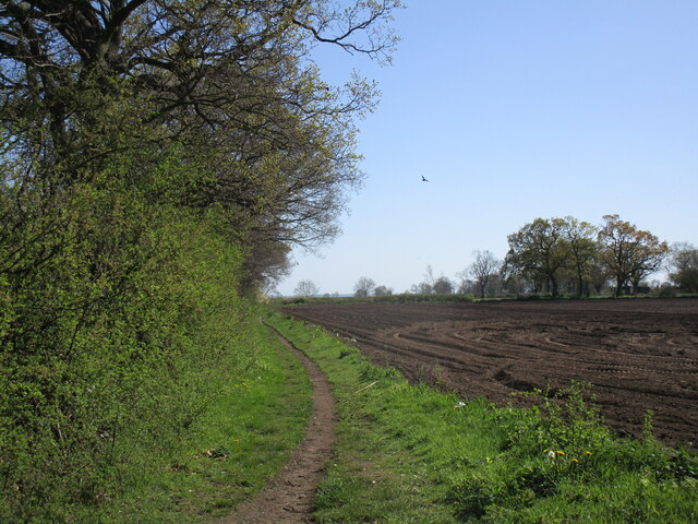
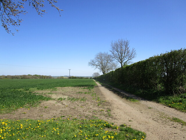
Bassingham is a civil parish located in the North Kesteven district of Lincolnshire, England. Situated approximately 10 miles southwest of the city of Lincoln, it covers an area of around 2.37 square miles. The village is nestled in a rural setting, surrounded by beautiful countryside and farmland.
Bassingham has a population of approximately 1,700 residents, according to the latest census data. The village has a long history, with records dating back to the Domesday Book in 1086. It was historically an agricultural community, and remnants of this past can still be seen today, with some farms still in operation.
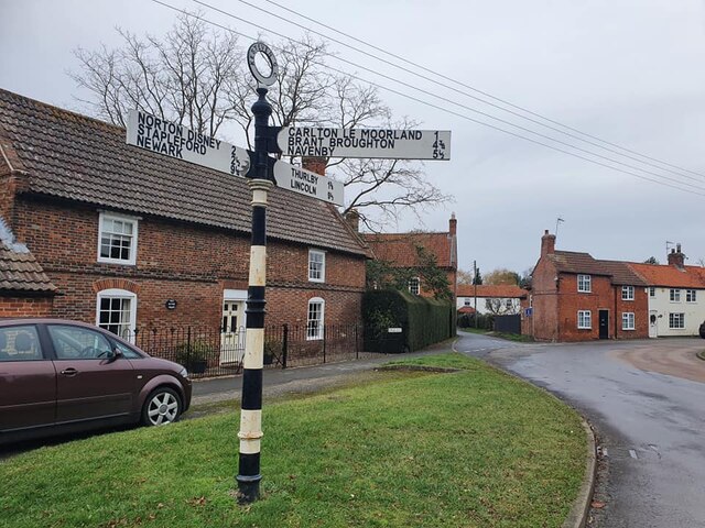
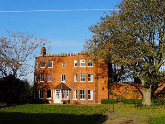
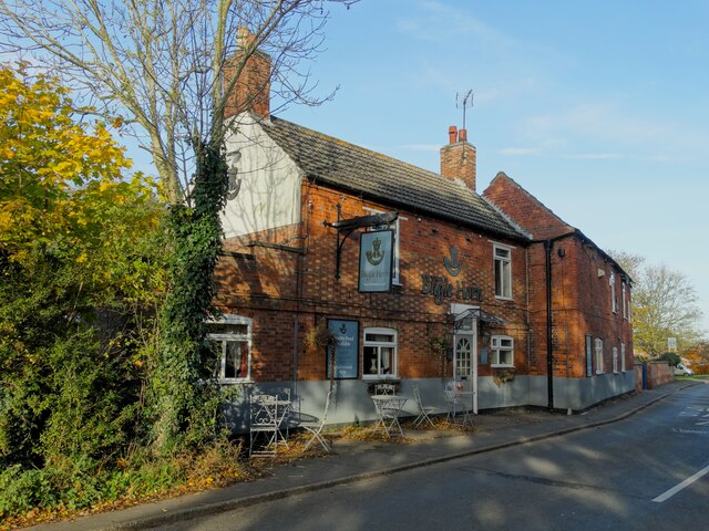
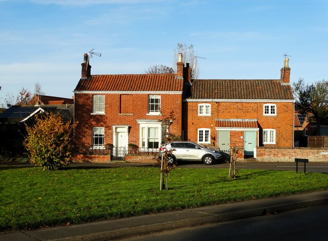
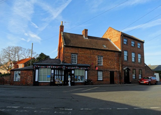
The village itself is characterized by its charming mix of traditional and modern architecture. There are a number of historic buildings, including the Grade II listed All Saints Church, which dates back to the 12th century. In addition to the church, there are several other amenities in Bassingham, such as a primary school, a village hall, a post office, and a few local shops.
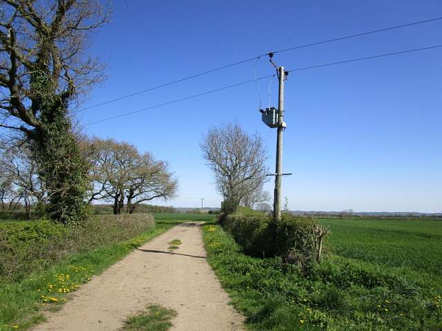
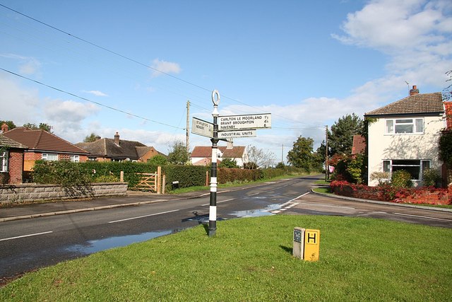
Bassingham benefits from good transport links, with the A46 road passing nearby, providing easy access to Lincoln and other nearby towns. The village also has a train station, which connects it to Lincoln and Nottingham, making it convenient for those commuting or traveling further afield.
Overall, Bassingham is a picturesque and welcoming village, offering a peaceful and rural lifestyle while still providing the necessary amenities for its residents.
If you have any feedback on the listing, please let us know in the comments section below.
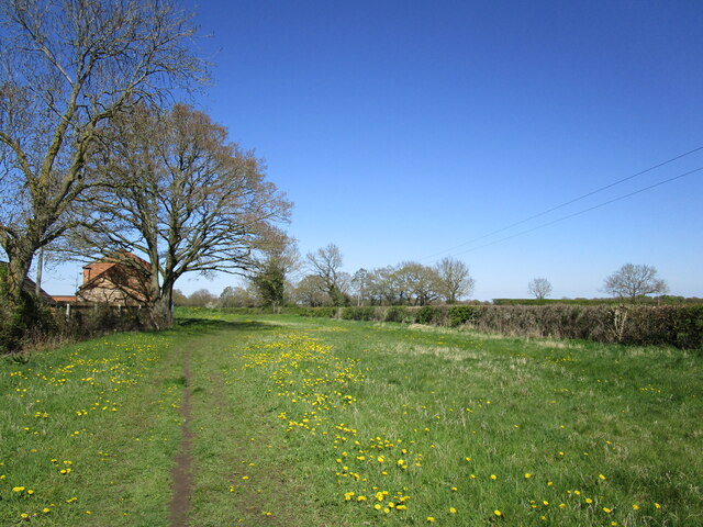
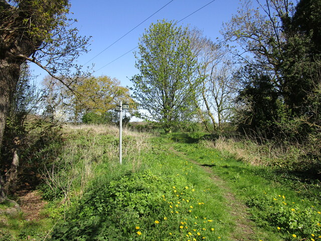
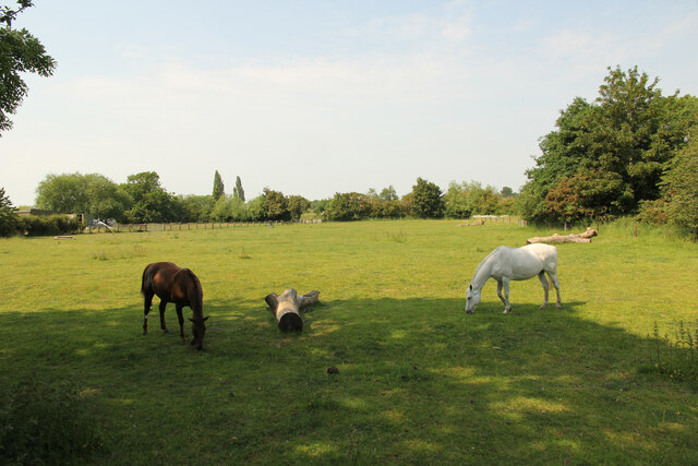
Bassingham Images
Images are sourced within 2km of 53.123097/-0.618906 or Grid Reference SK9259. Thanks to Geograph Open Source API. All images are credited.


Bassingham is located at Grid Ref: SK9259 (Lat: 53.123097, Lng: -0.618906)
Administrative County: Lincolnshire
District: North Kesteven
Police Authority: Lincolnshire
What 3 Words
///crumples.blaring.fled. Near Bassingham, Lincolnshire
Nearby Locations
Related Wikis
Bassingham
Bassingham is a village and civil parish in the North Kesteven district of Lincolnshire, England. The population of the civil parish at the 2011 census...

Carlton-le-Moorland
Carlton-le-Moorland, is a village and civil parish in the North Kesteven district of Lincolnshire, England, between Newark-on-Trent and Lincoln. The parish...

Skinnand
Skinnand is a deserted medieval village in Lincolnshire, England. It was a small farming community situated 9 miles (14 km) south of Lincoln and 11.5 miles...

Thurlby, North Kesteven
Thurlby is a village and civil parish in the North Kesteven district of Lincolnshire, England, about 9 miles (14 km) south-west of the city of Lincoln...

Somerton Castle
Somerton Castle is located approximately 1 mile (1.6 km) west of the village of Boothby Graffoe in Lincolnshire, England and to the south of the city of...

Aubourn
Aubourn ("Stream where the Alders grow") is a small village just east of the A46, in between Lincoln and Newark, England, in the county of Lincolnshire...

Aubourn with Haddington
Aubourn with Haddington or Aubourn and Haddington is a civil parish in the North Kesteven district of Lincolnshire, England. The population of the civil...

Haddington, Lincolnshire
Haddington is a hamlet in the North Kesteven district of Lincolnshire, England. It is situated just off the Fosse Way Roman road, now the A46, 7 miles...
Nearby Amenities
Located within 500m of 53.123097,-0.618906Have you been to Bassingham?
Leave your review of Bassingham below (or comments, questions and feedback).