Bassingbourn cum Kneesworth
Civil Parish in Cambridgeshire South Cambridgeshire
England
Bassingbourn cum Kneesworth
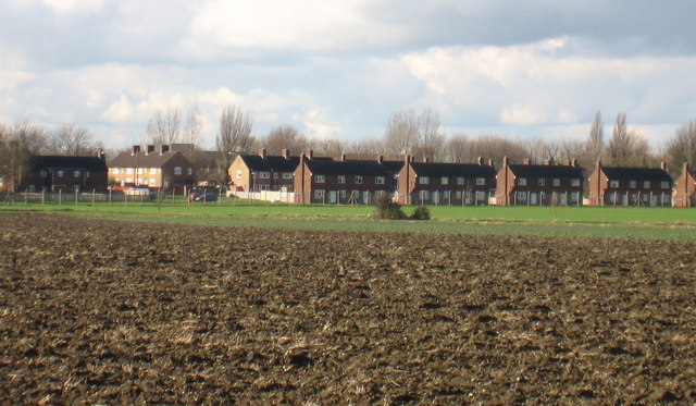
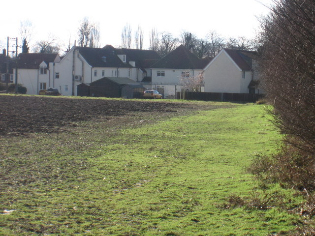
Bassingbourn cum Kneesworth is a civil parish in the county of Cambridgeshire, England. It is located approximately 14 miles southwest of the city of Cambridge. The parish is made up of two villages, Bassingbourn and Kneesworth, which are situated adjacent to each other.
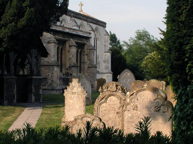
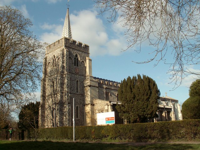
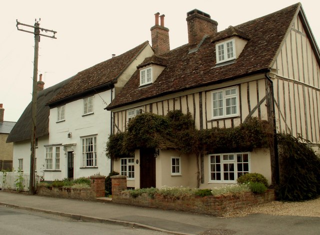
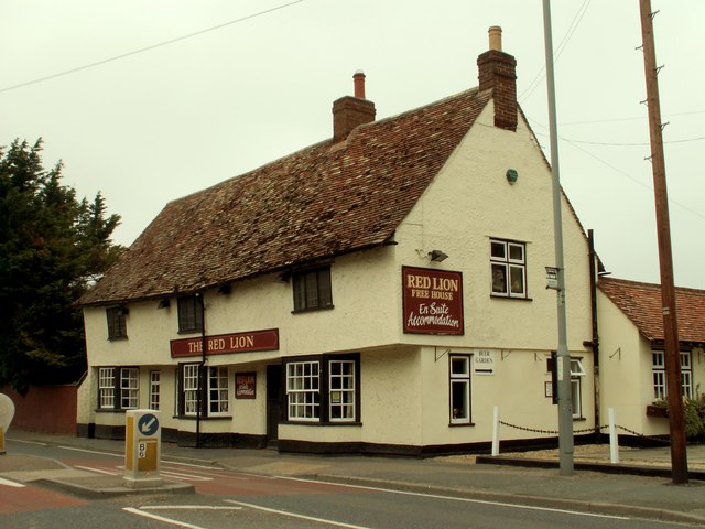
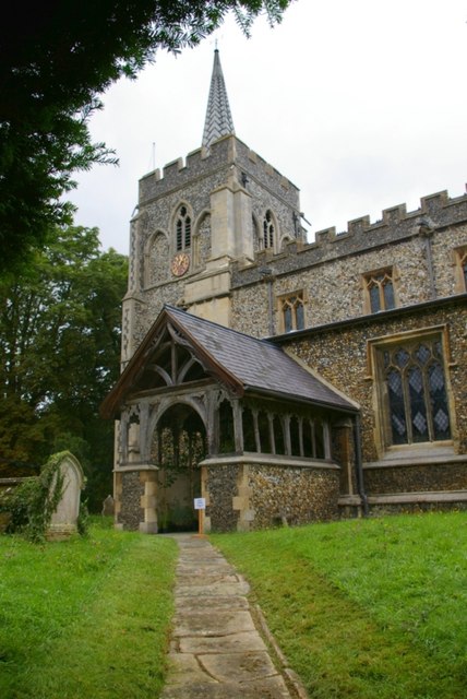
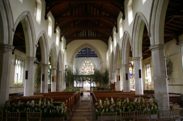
Bassingbourn is the larger of the two villages and has a population of around 3,500 people. It is a rural community with a rich history dating back to the medieval period. The village is known for its picturesque countryside, charming thatched cottages, and a 13th-century church dedicated to St. Peter and St. Paul. Bassingbourn also has several amenities, including a primary school, a village hall, a pub, and a few local shops.
Kneesworth, on the other hand, is a smaller village with a population of around 500 people. It is located just east of Bassingbourn and is primarily residential. The village is home to Kneesworth House, a Grade II listed building that was originally built in the 17th century. Kneesworth House is now a care home, providing residential and nursing care to the elderly.
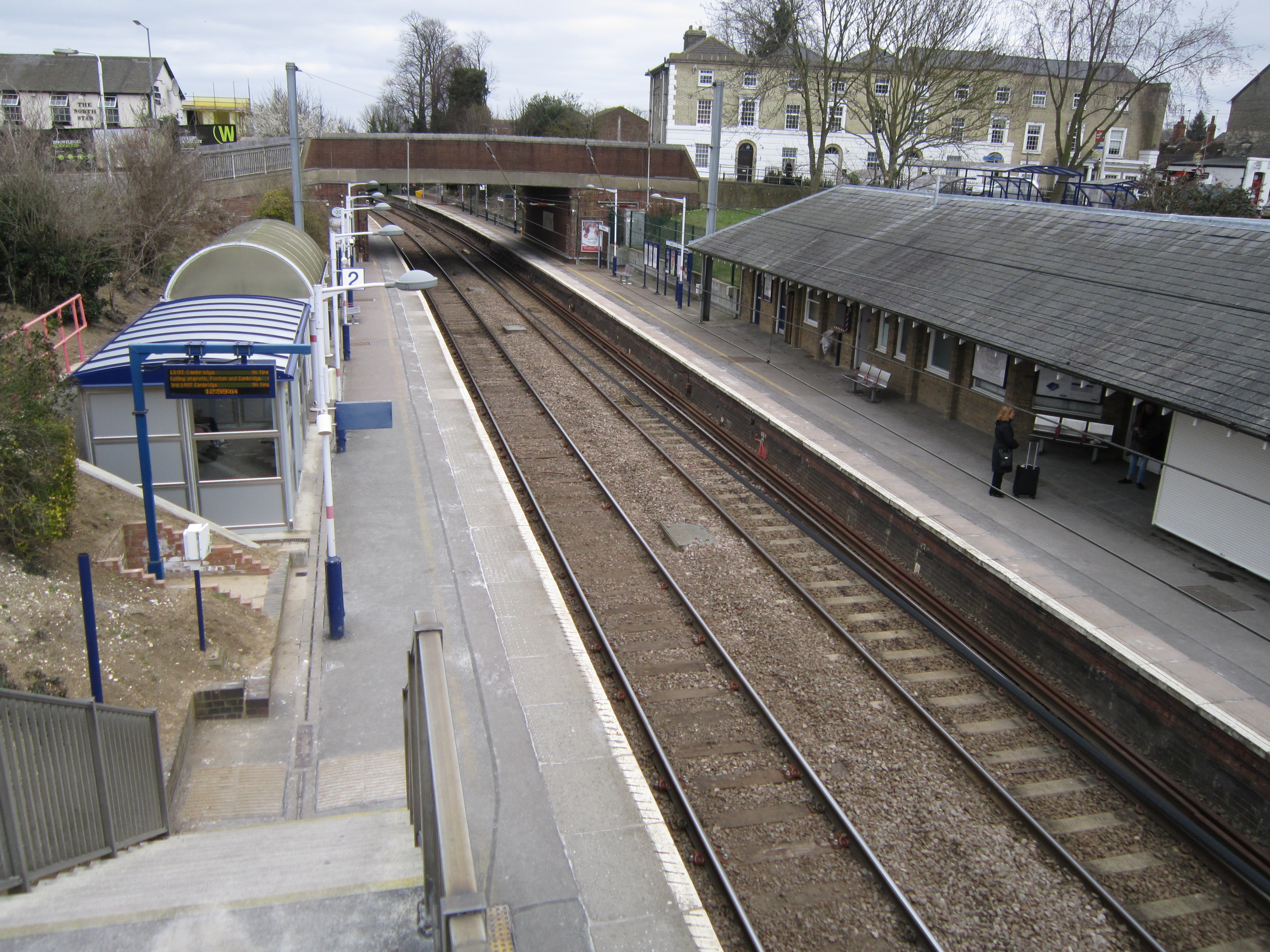
Both Bassingbourn and Kneesworth benefit from their proximity to the city of Cambridge, which offers a range of employment and recreational opportunities. The villages are also well-connected to neighboring towns and cities via road and public transport.
Overall, Bassingbourn cum Kneesworth is a peaceful and picturesque civil parish with a strong sense of community and a blend of historical and modern amenities.
If you have any feedback on the listing, please let us know in the comments section below.
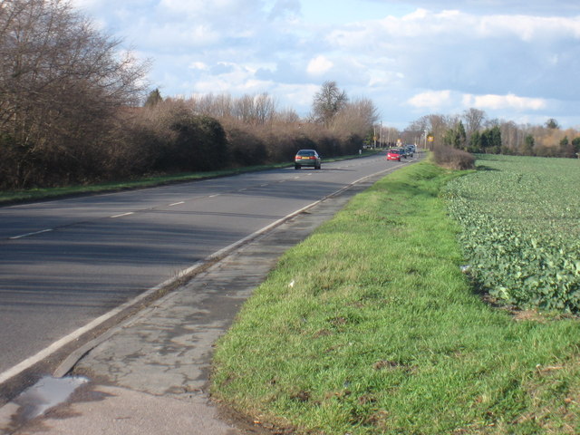
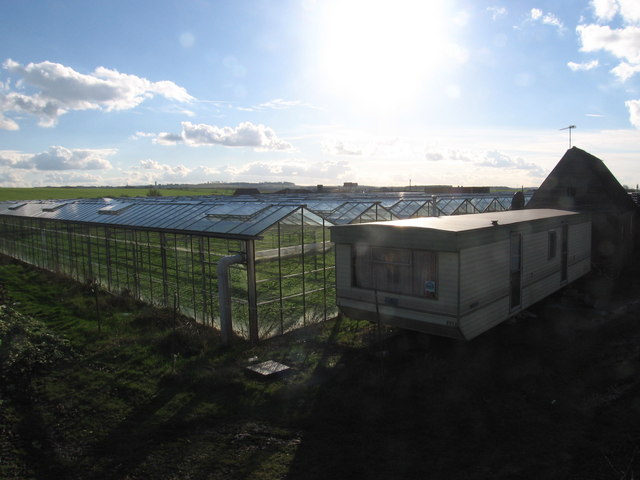
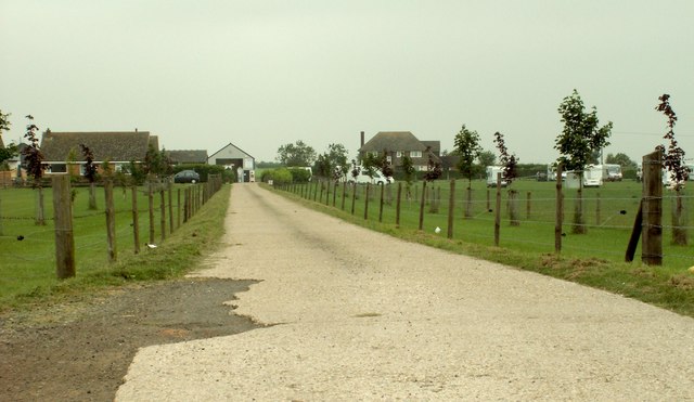
Bassingbourn cum Kneesworth Images
Images are sourced within 2km of 52.077026/-0.048488 or Grid Reference TL3343. Thanks to Geograph Open Source API. All images are credited.


Bassingbourn cum Kneesworth is located at Grid Ref: TL3343 (Lat: 52.077026, Lng: -0.048488)
Administrative County: Cambridgeshire
District: South Cambridgeshire
Police Authority: Cambridgeshire
What 3 Words
///values.lectured.built. Near Bassingbourn, Cambridgeshire
Nearby Locations
Related Wikis

Ford Wood
Ford Wood is a woodland in Cambridgeshire, England, near Bassingbourn. It covers a total area of 2.34 hectares (5.78 acres). It is owned and managed by...
Bassingbourn cum Kneesworth
Bassingbourn cum Kneesworth is a civil parish in the South Cambridgeshire district of Cambridgeshire, England, 14 miles south-west of Cambridge and just...
Bassingbourn Village College
Bassingbourn Village College is an academy school in Bassingbourn, just across the Cambridgeshire border from Royston, Hertfordshire. It currently has...
Bassingbourn Barracks
Bassingbourn Barracks is a Ministry of Defence installation located 3.2 miles (5.1 km) north of Royston, Hertfordshire and 10.6 miles (17.1 km) southwest...
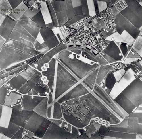
RAF Bassingbourn
Royal Air Force Bassingbourn or more simply RAF Bassingbourn is a former Royal Air Force station located in Cambridgeshire approximately 3 mi (5 km) north...

Litlington, Cambridgeshire
Litlington is a village and civil parish in the East of England region and the county of Cambridgeshire in the United Kingdom. The village lies approximately...
Holland Hall (Melbourn) Railway Cutting
Holland Hall (Melbourn) Railway Cutting is a 3.3-hectare (8.2-acre) biological Site of Special Scientific Interest near Melbourn in Cambridgeshire. It...
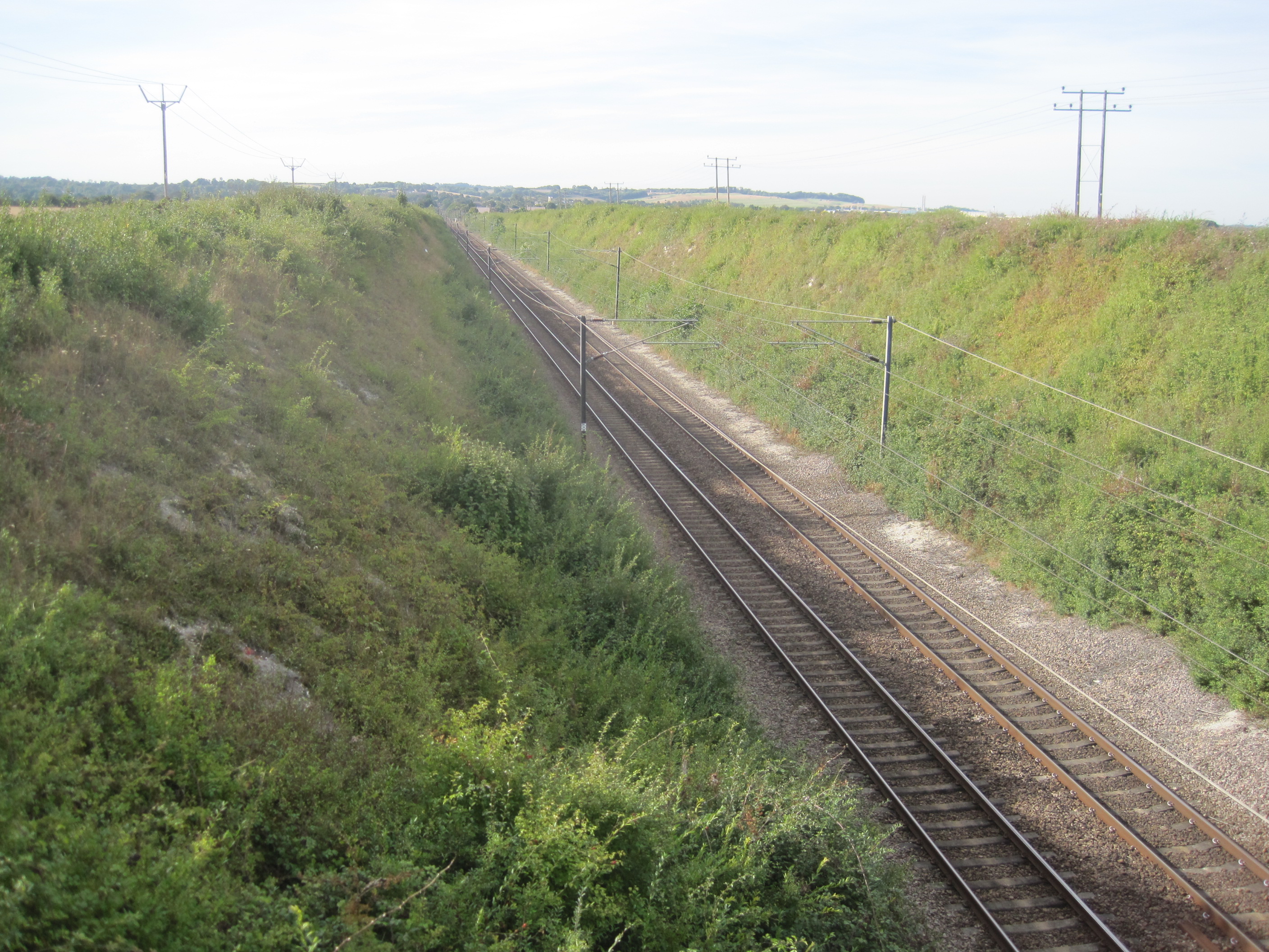
Royston railway station
Royston railway station serves the town of Royston in Hertfordshire, England. The station is 44 miles 72 chains (72.3 km) from London Kings Cross on the...
Nearby Amenities
Located within 500m of 52.077026,-0.048488Have you been to Bassingbourn cum Kneesworth?
Leave your review of Bassingbourn cum Kneesworth below (or comments, questions and feedback).