Ford Wood
Wood, Forest in Cambridgeshire South Cambridgeshire
England
Ford Wood
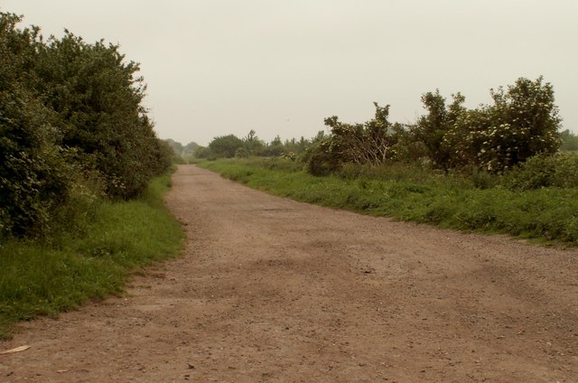
Ford Wood is a small woodland located in Cambridgeshire, England. It covers an area of approximately 100 acres and is situated near the village of Fordham. The wood is primarily managed by the Forestry Commission and is open to the public for recreational purposes.
The woodland is characterized by a diverse range of tree species, including oak, birch, ash, and beech. These trees provide a valuable habitat for various wildlife, such as birds, mammals, and insects. There are also several designated nature trails within the wood, allowing visitors to explore its natural beauty and observe the local flora and fauna.
Ford Wood has a rich history, dating back several centuries. It was once part of the ancient Fordham Forest, which was used for hunting and timber production. Today, the wood serves as a peaceful retreat for walkers, joggers, and nature enthusiasts. It offers a tranquil environment, away from the hustle and bustle of urban life.
The wood is easily accessible, with a car park located nearby and well-maintained footpaths throughout. It is a popular destination for families, dog walkers, and nature photographers. Visitors can enjoy picnicking, wildlife spotting, or simply immersing themselves in the serene surroundings.
Overall, Ford Wood in Cambridgeshire is a picturesque and ecologically significant woodland, providing a haven for both nature and people. Its accessibility, diverse wildlife, and historical significance make it a beloved destination for locals and visitors alike.
If you have any feedback on the listing, please let us know in the comments section below.
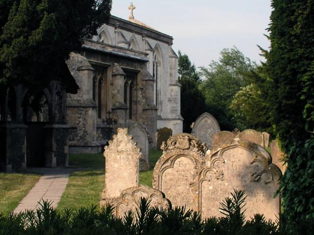
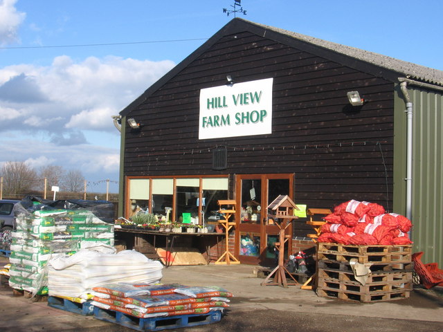
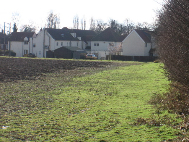
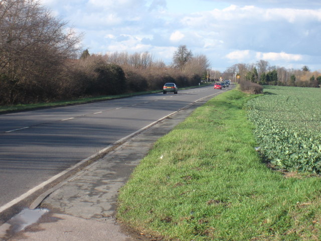
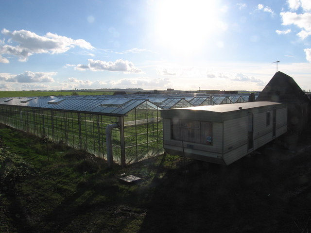
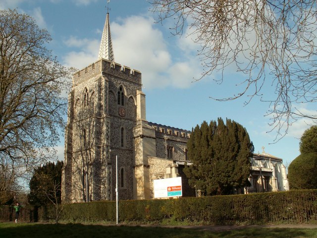
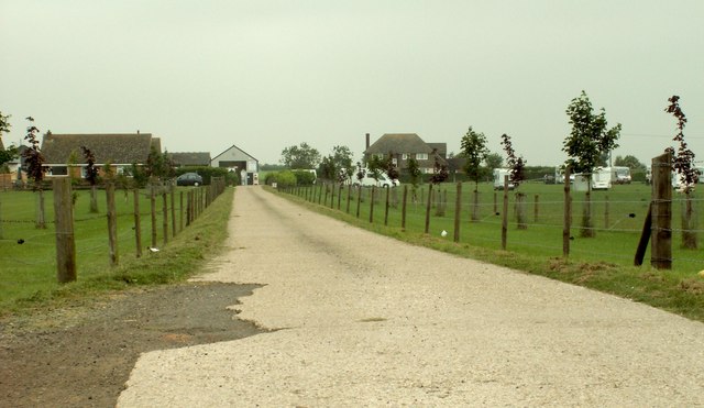
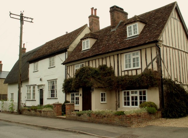
Ford Wood Images
Images are sourced within 2km of 52.073502/-0.055249002 or Grid Reference TL3343. Thanks to Geograph Open Source API. All images are credited.


Ford Wood is located at Grid Ref: TL3343 (Lat: 52.073502, Lng: -0.055249002)
Administrative County: Cambridgeshire
District: South Cambridgeshire
Police Authority: Cambridgeshire
What 3 Words
///initiates.charmingly.noting. Near Bassingbourn, Cambridgeshire
Nearby Locations
Related Wikis

Ford Wood
Ford Wood is a woodland in Cambridgeshire, England, near Bassingbourn. It covers a total area of 2.34 hectares (5.78 acres). It is owned and managed by...
Bassingbourn Village College
Bassingbourn Village College is an academy school in Bassingbourn, just across the Cambridgeshire border from Royston, Hertfordshire. It currently has...
Bassingbourn cum Kneesworth
Bassingbourn cum Kneesworth is a civil parish in the South Cambridgeshire district of Cambridgeshire, England, 14 miles south-west of Cambridge and just...

Litlington, Cambridgeshire
Litlington is a village and civil parish in the East of England region and the county of Cambridgeshire in the United Kingdom. The village lies approximately...
Bassingbourn Barracks
Bassingbourn Barracks is a Ministry of Defence installation located 3.2 miles (5.1 km) north of Royston, Hertfordshire and 10.6 miles (17.1 km) southwest...
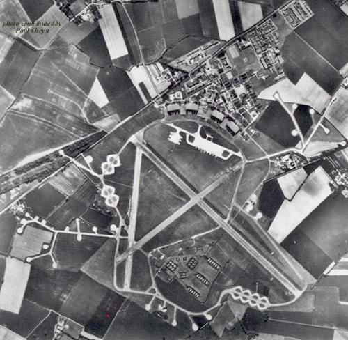
RAF Bassingbourn
Royal Air Force Bassingbourn or more simply RAF Bassingbourn is a former Royal Air Force station located in Cambridgeshire approximately 3 mi (5 km) north...

Abington Pigotts
Abington Pigotts is a small village in Cambridgeshire, England about 4 miles (6 km) northwest of Royston, Hertfordshire. == History == The parish of Abington...
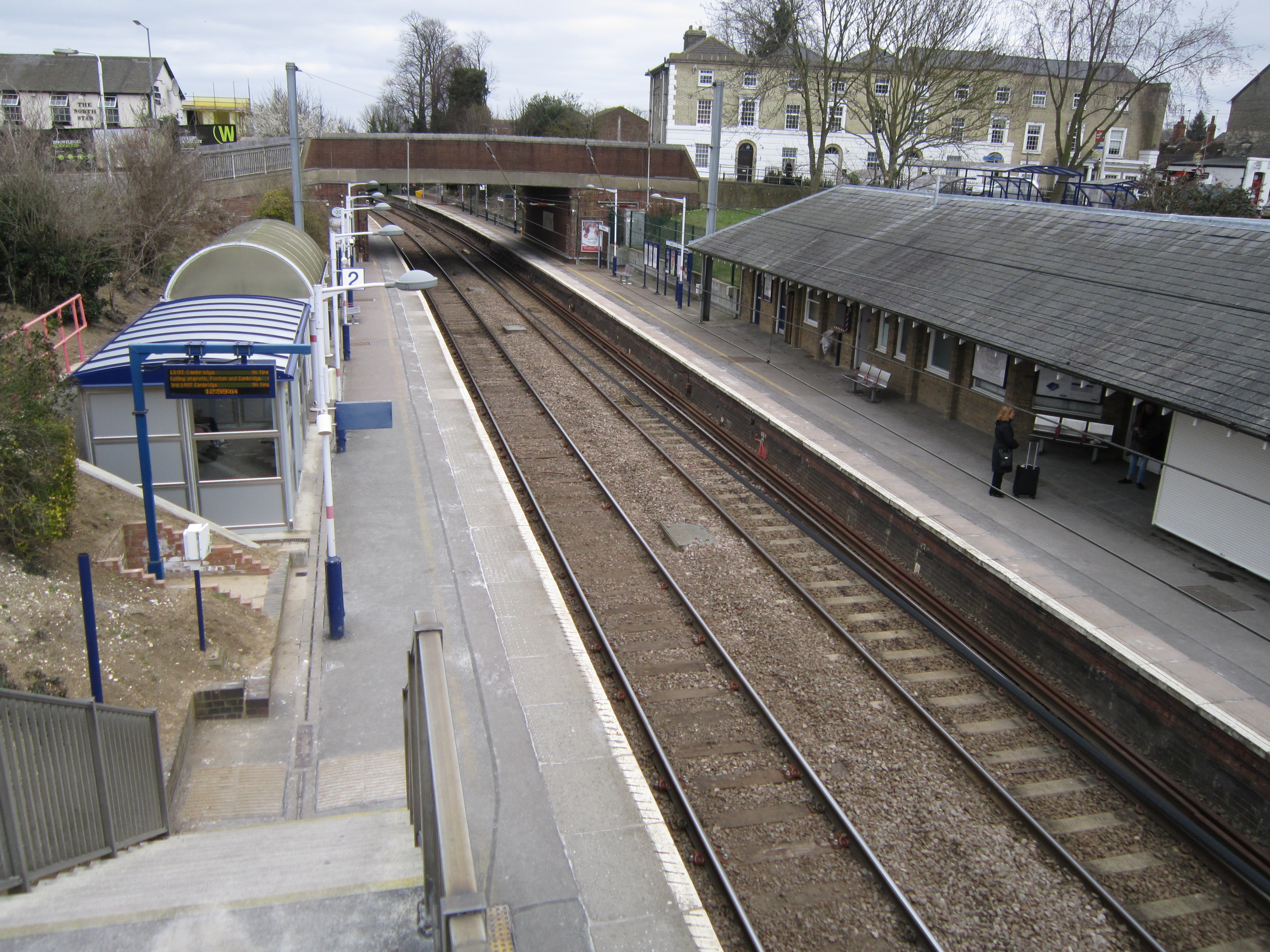
Royston railway station
Royston railway station serves the town of Royston in Hertfordshire, England. The station is 44 miles 72 chains (72.3 km) from London Kings Cross on the...
Nearby Amenities
Located within 500m of 52.073502,-0.055249002Have you been to Ford Wood?
Leave your review of Ford Wood below (or comments, questions and feedback).