Ballshill Grove

Wood, Forest in Hertfordshire East Hertfordshire

England

Ballshill Grove

Walls surrounding the site of Hertford Castle Hertford Castle and its garden lie at the historic centre of Hertford.
Walls surrounding the site of Hertford Castle Credit: Julian Paren

Ballshill Grove is a picturesque residential area located in the county of Hertfordshire, England. Situated within the woodlands and forests of the region, it offers a serene and tranquil environment for its residents. The grove is nestled amongst lush greenery, providing a peaceful retreat from the hustle and bustle of city life.

The area is characterized by its natural beauty, with tall trees, vibrant flora, and an abundance of wildlife. The grove is a haven for nature enthusiasts, offering numerous opportunities for outdoor activities such as hiking, birdwatching, and exploring the surrounding woodlands. The forested area surrounding Ballshill Grove provides ample space for recreational activities, making it an ideal location for families and outdoor enthusiasts.

The residential properties in Ballshill Grove are predominantly detached houses, each set on spacious plots of land, ensuring privacy and tranquility for its residents. The architecture of the houses is diverse, with a mix of traditional and contemporary styles, adding to the charm and character of the area.

The community in Ballshill Grove is close-knit and friendly, with a strong sense of pride in their surroundings. Residents enjoy a peaceful and safe environment, with well-maintained roads and amenities. The grove has easy access to nearby towns and cities, with good transport links and proximity to major road networks.

Ballshill Grove, Hertfordshire, offers a unique blend of natural beauty, tranquility, and community spirit, making it an idyllic place to call home for those seeking a peaceful lifestyle amidst nature's splendor.

If you have any feedback on the listing, please let us know in the comments section below.

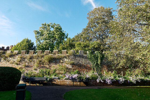
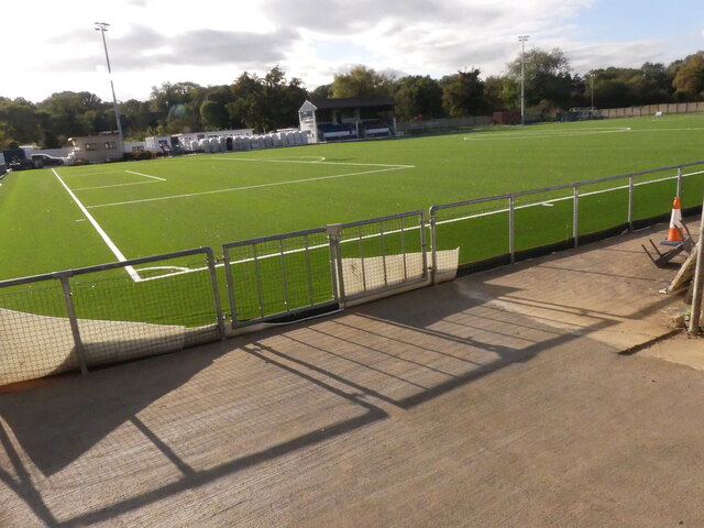
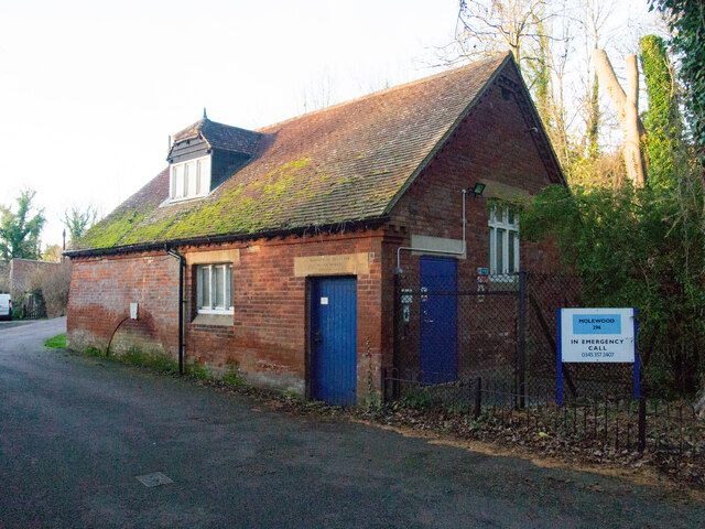
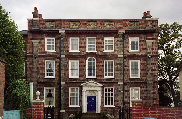
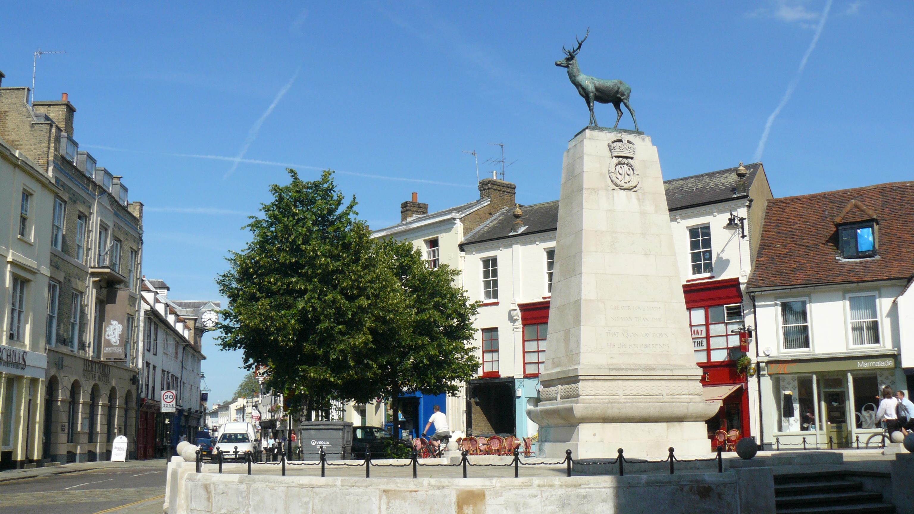
Ballshill Grove Images

Images are sourced within 2km of 51.794774/-0.06710476 or Grid Reference TL3312. Thanks to Geograph Open Source API. All images are credited.

Walls surrounding the site of Hertford Castle Hertford Castle and its garden lie at the historic centre of Hertford.
Walls surrounding the site of Hertford Castle
Hertford Castle and its garden lie at the historic centre of Hertford.
The Moat Gardens, Hertford Castle A pleasant place to linger, but there is always noise from the main road, the A414.
The Moat Gardens, Hertford Castle
A pleasant place to linger, but there is always noise from the main road, the A414.
Hertford Town Football Club Artificial Pitch When I took this photo in October the guys installing the artificial pitch said it would be ready for match football in a week's time. Well into the football season so perhaps running late?
Hertford Town Football Club Artificial Pitch
When I took this photo in October the guys installing the artificial pitch said it would be ready for match football in a week's time. Well into the football season so perhaps running late?
Hertford : Molewood Pumping Station Another view and historical note at <a href="https://www.geograph.org.uk/photo/946532">TL3113 : Bengeo: Molewood Pumping Station</a>. A plaque reading 'J BELL 1801' from a former mill is incorporated in to the pumping station.
Hertford : Molewood Pumping Station
Another view and historical note at TL3113 : Bengeo: Molewood Pumping Station. A plaque reading 'J BELL 1801' from a former mill is incorporated in to the pumping station.
Hertford Weir
Hertford Weir
River Lea path just north of Fountain Drive
River Lea at Hertford
Entrance to Hertford Castle
Inside the grounds of Hertford Castle
Bridge over the river at Hertford Castle
The motte at Hertford Castle
The Waterfront next to Hartham Common
Downriver from Hertford Lock A view north east from the bridge at Hertford Lock. This photo was taken on a bright sunny day in February 2022 and contrasts with a very similar view - also on Geograph - taken on a grey day on 26 January 2013. See photo 3339561. At the end of this straight stretch of the river, it is joined by the River Beane.
Downriver from Hertford Lock
A view north east from the bridge at Hertford Lock. This photo was taken on a bright sunny day in February 2022 and contrasts with a very similar view - also on Geograph - taken on a grey day on 26 January 2013. See photo 3339561. At the end of this straight stretch of the river, it is joined by the River Beane.
Log in the river A tranquil scene near the confluence of two rivers in rural Hertfordshire.
Log in the river
A tranquil scene near the confluence of two rivers in rural Hertfordshire.
Where the Beane meets the Rib The confluence of the rivers Beane and Rib in Hertfordshire.
Where the Beane meets the Rib
The confluence of the rivers Beane and Rib in Hertfordshire.
Samuel Stone statue at Hertford Statue of the former minister who was born in Hertford in the 1600s.
Samuel Stone statue at Hertford
Statue of the former minister who was born in Hertford in the 1600s.
Hertford : River Lea
Hertford East railway station, Platform 2
Show me another place!

Ballshill Grove is located at Grid Ref: TL3312 (Lat: 51.794774, Lng: -0.06710476)

Administrative County: Hertfordshire

District: East Hertfordshire

Police Authority: Hertfordshire

What 3 Words

///bonds.shut.bucket. Near Hertford, Hertfordshire

Nearby Locations

Ballshill Grove

Related Wikis

Simon Balle All-through School

Simon Balle All-through School is a co-educational secondary school, sixth form, and most recently primary school with academy status located in Hertford...

Balls Park

Balls Park in Hertford is a Grade I Listed mid-17th-century house. The estate and house are set in over 63 acres of parkland which is listed Grade II on...

River Rib

The River Rib originates near the East Hertfordshire village of Therfield and runs parallel with the A10 through Chipping, Wyddial, Buntingford, Westmill...

All Saints' Church, Hertford

All Saints' Church is in Queens Road, Hertford, Hertfordshire, England. It is an active Anglican parish church in the deanery of Hertford and Ware, the...

Hertford East railway station

Hertford East railway station is the northern terminus of the Hertford East branch line off the West Anglia Main Line in the east of England, and is located...

Corn Exchange, Hertford

The Corn Exchange is a commercial building on Fore Street in Hertford, Hertfordshire, England. The structure, which is currently used as an events venue...

Bailey Hall, Hertford

Bailey Hall is a grade II* listed building in Hertford, Hertfordshire. It was originally a private home, then a school, then offices. It dates from around...

Hertford

Hertford ( HART-fərd) is the county town of Hertfordshire, England, and is also a civil parish in the East Hertfordshire district of the county. The parish...

Nearby Amenities

Located within 500m of 51.794774,-0.06710476
Crossing
Crossing: traffic_signals
Tactile Paving: yes
Lat/Long: 51.7936193/-0.063122
Mini Roundabout
Direction: clockwise
Lat/Long: 51.7940344/-0.0709822
Crossing
Crossing: traffic_signals
Tactile Paving: yes
Lat/Long: 51.7935151/-0.063236
Traffic Calming: table
Lat/Long: 51.7991035/-0.0682201
Mini Roundabout
Direction: clockwise
Lat/Long: 51.7949132/-0.0615605
Mini Roundabout
Direction: clockwise
Lat/Long: 51.7951882/-0.0608307
Traffic Signals
Traffic Signals: ramp_meter
Lat/Long: 51.7965664/-0.0728327
Traffic Signals
Traffic Signals: ramp_meter
Lat/Long: 51.7966478/-0.0733966
Crossing
Crossing: traffic_signals
Crossing Island: yes
Kerb: flush
Tactile Paving: yes
Lat/Long: 51.7974361/-0.0722787
Crossing
Crossing: traffic_signals
Kerb: flush
Tactile Paving: yes
Lat/Long: 51.797397/-0.072124
Crossing
Crossing: traffic_signals
Crossing Island: yes
Kerb: lowered
Tactile Paving: yes
Lat/Long: 51.7975991/-0.0721065
Place Of Worship
Hertford Methodist Church
Denomination: methodist
Religion: christian
Lat/Long: 51.7981428/-0.069733
Crossing
Crossing: unmarked
Tactile Paving: yes
Lat/Long: 51.7945223/-0.0705615
Fire Station
Lat/Long: 51.7964194/-0.071243
Bus Stop
Park Road
Naptan AtcoCode: 210021302060
Naptan Bearing: SE
Naptan CommonName: Park Road
Naptan Crossing: Park Road
Naptan Indicator: adj
Naptan Landmark: Park Road
Naptan NaptanCode: hrtdtwmt
Naptan PlusbusZoneRef: HFDN
Naptan ShortCommonName: NA
Naptan Street: London Road
Naptan Verified: no
Source: naptan_import
Lat/Long: 51.7958633/-0.0712421
Bus Stop
Balls Park Lodge
Naptan AtcoCode: 210021302080
Naptan Bearing: E
Naptan CommonName: Balls Park Lodge
Naptan Crossing: Balls Park Lodge
Naptan Indicator: opp
Naptan Landmark: Balls Park Lodge
Naptan NaptanCode: hrtdtwpa
Naptan PlusbusZoneRef: HFDN
Naptan ShortCommonName: NA
Naptan Street: London Road
Naptan Verified: no
Shelter: yes
Source: naptan_import
Lat/Long: 51.7928203/-0.0606408
Bus Stop
Raynham Street
Naptan AtcoCode: 210021302220
Naptan Bearing: NE
Naptan CommonName: Raynham Street
Naptan Crossing: Raynham Street
Naptan Indicator: adj
Naptan Landmark: Raynham Street
Naptan NaptanCode: hrtdtwjd
Naptan PlusbusZoneRef: HFDN
Naptan ShortCommonName: NA
Naptan Street: Ware Road
Naptan Verified: no
Public Transport: platform
Source: naptan_import
Lat/Long: 51.7988799/-0.0654715
Bus Stop
Raynham Street
Naptan AtcoCode: 210021311580
Naptan Bearing: SW
Naptan CommonName: Raynham Street
Naptan Crossing: Raynham Street
Naptan Indicator: opp
Naptan Landmark: Raynham Street
Naptan NaptanCode: hrtdpamj
Naptan PlusbusZoneRef: HFDN
Naptan ShortCommonName: NA
Naptan Street: Ware Road
Naptan Verified: no
Public Transport: platform
Source: naptan_import
Lat/Long: 51.7988533/-0.0649505
Bus Stop
Caxton Hill
Local Ref: NR
Naptan AtcoCode: 210021311590
Naptan Bearing: SW
Naptan CommonName: Caxton Hill
Naptan Crossing: Coleridge Park
Naptan Indicator: nr
Naptan Landmark: Coleridge Park
Naptan NaptanCode: hrtdpamp
Naptan PlusbusZoneRef: HFDN
Naptan ShortCommonName: NA
Naptan Street: Ware Road
Naptan Verified: no
Public Transport: platform
Source: naptan_import
Lat/Long: 51.798301/-0.0674542
Bus Stop
Tesco
Naptan AtcoCode: 210021311600
Naptan Bearing: SW
Naptan CommonName: Tesco
Naptan Crossing: Tesco
Naptan Indicator: opp
Naptan Landmark: Tesco
Naptan NaptanCode: hrtdpamt
Naptan PlusbusZoneRef: HFDN
Naptan ShortCommonName: NA
Naptan Street: Ware Road
Naptan Verified: no
Public Transport: platform
Source: naptan_import
Lat/Long: 51.7976917/-0.070874
Bus Stop
Balls Park Lodge
Local Ref: NR
Naptan AtcoCode: 210021311720
Naptan Bearing: W
Naptan CommonName: Balls Park Lodge
Naptan Crossing: Balls Park Lodge
Naptan Indicator: nr
Naptan Landmark: Balls Park Lodge
Naptan NaptanCode: hrtdpagj
Naptan PlusbusZoneRef: HFDN
Naptan ShortCommonName: NA
Naptan Street: London Road
Naptan Verified: no
Source: naptan_import
Lat/Long: 51.7927689/-0.0613391
Bus Stop
Park Road
Naptan AtcoCode: 210021311740
Naptan Bearing: NW
Naptan CommonName: Park Road
Naptan Crossing: Park Road
Naptan Indicator: opp
Naptan Landmark: Park Road
Naptan NaptanCode: hrtdpagm
Naptan PlusbusZoneRef: HFDN
Naptan ShortCommonName: NA
Naptan Street: London Road
Naptan Verified: no
Source: naptan_import
Lat/Long: 51.7957948/-0.071611
Mangrove Road
Naptan AtcoCode: 210021360680
Naptan Bearing: SW
Naptan BusStopType: CUS
Naptan CommonName: Mangrove Road
Naptan Crossing: Mangrove Road
Naptan Indicator: SW-bound
Naptan Landmark: Mangrove Road
Naptan NaptanCode: hrtdmpda
Naptan PlusbusZoneRef: HFDN
Naptan ShortCommonName: NA
Naptan Street: Hagsdell Road
Naptan Verified: no
Source: naptan_import
Lat/Long: 51.7937994/-0.0720553
Mangrove Road
Naptan AtcoCode: 210021361332
Naptan Bearing: NE
Naptan BusStopType: CUS
Naptan CommonName: Mangrove Road
Naptan Crossing: Mangrove Rd
Naptan Indicator: NE-bound
Naptan Landmark: Mangrove Rd
Naptan NaptanCode: hrtgtwgw
Naptan PlusbusZoneRef: HFDN
Naptan ShortCommonName: NA
Naptan Street: Hagsdell Rd
Naptan Verified: no
Source: naptan_import
Lat/Long: 51.7939912/-0.0716846
Simon Balle School
Naptan AtcoCode: 210021385100
Naptan Bearing: SE
Naptan BusStopType: CUS
Naptan CommonName: Simon Balle School
Naptan Indicator: o/s
Naptan Landmark: Unknown
Naptan NaptanCode: hrtdmdpj
Naptan PlusbusZoneRef: HFDN
Naptan ShortCommonName: NA
Naptan Street: Mangrove Road
Naptan Verified: no
Source: naptan_import
Lat/Long: 51.7922553/-0.0699213
Post Box
Post Box Type: pillar
Ref: SG13 33D
Royal Cypher: EVIIR
Royal Cypher Wikidata: Q33102324
Lat/Long: 51.797913/-0.070428
Barrier: fence
Lat/Long: 51.791303/-0.0672493
Crossing
Lat/Long: 51.794016/-0.0663223
Crossing
Lat/Long: 51.7941057/-0.066242
Restaurant
The Raj
Cuisine: indian
Lat/Long: 51.797826/-0.0697684
Crossing
Crossing: marked
Tactile Paving: yes
Lat/Long: 51.7980694/-0.0716799
Crossing
Crossing: marked
Tactile Paving: yes
Lat/Long: 51.7981582/-0.0717377
Crossing
Crossing: marked
Tactile Paving: yes
Lat/Long: 51.7978042/-0.0715128
Crossing
Crossing: marked
Tactile Paving: yes
Lat/Long: 51.797934/-0.0715936
Traffic Signals
Lat/Long: 51.79362/-0.0631952
Traffic Signals
Traffic Signals: ramp_meter
Lat/Long: 51.7969772/-0.0726495
Traffic Signals
Traffic Signals: ramp_meter
Lat/Long: 51.7969393/-0.0727895
Traffic Signals
Traffic Signals: ramp_meter
Lat/Long: 51.7966504/-0.0735488
Traffic Signals
Traffic Signals: ramp_meter
Lat/Long: 51.7964746/-0.072798
Addr County: Hertfordshire
Addr Housenumber: 1
Addr Postcode: SG13 8AQ
Addr Street: The Chestnuts
Addr Town: Hertford
Lat/Long: 51.7934738/-0.0738072
Addr County: Hertfordshire
Addr Housenumber: 5
Addr Postcode: SG13 8AQ
Addr Street: The Chestnuts
Addr Town: Hertford
Lat/Long: 51.793824/-0.073885
Addr County: Hertfordshire
Addr Housenumber: 3
Addr Postcode: SG13 8AQ
Addr Street: The Chestnuts
Addr Town: Hertford
Lat/Long: 51.7936595/-0.0738742
Addr County: Hertfordshire
Addr Housenumber: 2
Addr Postcode: SG13 8AQ
Addr Street: The Chestnuts
Addr Town: Hertford
Lat/Long: 51.7938688/-0.0731903
Post Box
Collection Times: Mo-Fr 18:45; Sa 12:30
Post Box Apertures: 2
Post Box Design: type_c
Post Box Type: pillar
Ref: SG13 40;SG13 401
Royal Cypher: EIIR
Royal Cypher Wikidata: Q33102113
Lat/Long: 51.7950458/-0.0722927
Crossing
Crossing: marked
Lat/Long: 51.7983065/-0.0714229
Post Box
Note: Franked mail only
Post Box Type: pillar
Ref: SG13 54
Royal Cypher: EIIR
Royal Cypher Wikidata: Q33102113
Lat/Long: 51.7944636/-0.0618285
Post Box
Post Box Type: pillar
Ref: SG13 28
Royal Cypher: EIIR
Royal Cypher Wikidata: Q33102113
Lat/Long: 51.7959441/-0.0712974
Speed Camera
Direction: 75
Lat/Long: 51.7986988/-0.0660824
Barrier: bollard
Lat/Long: 51.7912949/-0.0671463
Cafe
Veg Heads
Addr City: Hertford
Addr Housename: The Saracen's Head
Addr Housenumber: 45
Addr Postcode: SG13 7EB
Addr Street: Ware Road
Contact Email: matt@vegheadsfood.co.uk
Contact Facebook: https://www.facebook.com/vegheadsfood
Contact Phone: +44 7955 780483
Contact Website: https://www.vegheadsfood.co.uk/
Cuisine: burger
Diet Vegan: only
Opening Hours: Mo-Th 12:00-20:00; Fr-Sa 12:00-21:00; Su 12:00-17:30
Takeaway: yes
Lat/Long: 51.7984304/-0.0679716
Give Way
Direction: backward
Lat/Long: 51.7982227/-0.0678999
Give Way
Direction: backward
Lat/Long: 51.7983817/-0.0677071
Crossing
Crossing: unmarked
Tactile Paving: no
Lat/Long: 51.796055/-0.0716009
Generator Method: photovoltaic
Generator Output Electricity: yes
Generator Source: solar
Generator Type: solar_photovoltaic_panel
Power: generator
Lat/Long: 51.7931635/-0.073557
Crossing
Crossing: marked
Lat/Long: 51.7926547/-0.0710546
Crossing
Crossing: marked
Lat/Long: 51.7927252/-0.0709697
Crossing
Crossing: marked
Lat/Long: 51.792772/-0.0710622
Colour: blue
Direction: 80
Erected By: Hertford Town Council;Hertford Civic Society
Historic: memorial
Inscription: From 1920-1994 Addis Ltd (a brushworks company) occupied this site. These offices date from 1935
Material: metal
Memorial: plaque
Openplaques Id: 57686
Subject Wikidata: Q26558996
Wikimedia Commons: File:Addis_Ltd_site_blue_plaque.jpg
Lat/Long: 51.797871/-0.0689342
Colour: blue
Direction: 250
Erected By: Hertford Town Council;Hertford Civic Society
Historic: memorial
Inscription: The County Gaol covered a large area including this site 1779-1878
Material: metal
Memorial: blue_plaque
Openplaques Id: 58424
Wikimedia Commons: File:The County Gaol, Hertford blue plaque.jpg
Lat/Long: 51.7975001/-0.0710934
Crossing
Crossing: unmarked
Tactile Paving: yes
Lat/Long: 51.7977831/-0.0703301
Traffic Calming: bump
Lat/Long: 51.7970817/-0.0637218
Turning Circle
Lat/Long: 51.7977186/-0.0650438
Crossing
Crossing: unmarked
Lat/Long: 51.7957744/-0.0710627
Traffic Calming: table
Lat/Long: 51.7942811/-0.0707767
Give Way
Lat/Long: 51.7944953/-0.0706444
Traffic Signals
Lat/Long: 51.7935151/-0.0631649
Give Way
Direction: backward
Lat/Long: 51.7989179/-0.0652023
Crossing
Crossing: unmarked
Tactile Paving: yes
Lat/Long: 51.7989318/-0.0652117
Crossing
Crossing: unmarked
Tactile Paving: yes
Lat/Long: 51.7987367/-0.0662012
Give Way
Direction: backward
Lat/Long: 51.7987244/-0.0661925
Crossing
Crossing: unmarked
Tactile Paving: yes
Lat/Long: 51.7984042/-0.0677227
Crossing
Crossing: unmarked
Tactile Paving: yes
Lat/Long: 51.7982082/-0.0678892
Crossing
Crossing: unmarked
Tactile Paving: yes
Lat/Long: 51.7979319/-0.0688403
Traffic Signals
Direction: backward
Lat/Long: 51.7979822/-0.0694256
Traffic Signals
Direction: forward
Lat/Long: 51.7979637/-0.0695562
Crossing
Crossing: traffic_signals
Tactile Paving: yes
Lat/Long: 51.7979738/-0.0694941
Crossing
Crossing: unmarked
Tactile Paving: yes
Lat/Long: 51.7980853/-0.069282
Crossing
Crossing: unmarked
Tactile Paving: yes
Lat/Long: 51.7979275/-0.0702172
Crossing
Crossing: unmarked
Tactile Paving: yes
Lat/Long: 51.7977683/-0.0710868
Give Way
Lat/Long: 51.7977563/-0.0710768
Traffic Signals
Direction: backward
Lat/Long: 51.797622/-0.0721217
Traffic Calming: island
Lat/Long: 51.7975549/-0.0718231
Traffic Signals
Direction: backward
Lat/Long: 51.7975624/-0.071793
Traffic Signals
Lat/Long: 51.7974147/-0.0723177
The data included in this document is from www.openstreetmap.org. The data is made available under ODbL.

Have you been to Ballshill Grove?

Leave your review of Ballshill Grove below (or comments, questions and feedback).