Hack's Plantation

Wood, Forest in Lincolnshire South Kesteven

England

Hack's Plantation

Middle Drain Looking east from Manthorpe Drove.
Middle Drain Credit: Ajay Tegala

Hack's Plantation is a woodland area located in Lincolnshire, England. Situated in the region known as Wood, Forest, it covers an approximate area of [insert size]. The plantation is known for its lush greenery and diverse ecosystem, making it a popular destination for nature enthusiasts and wildlife observers.

The woodland is primarily composed of various tree species, including oak, beech, and birch, which create a dense and vibrant canopy overhead. The thick undergrowth consists of ferns, wildflowers, and mosses, adding to the overall enchanting ambiance of the plantation. The presence of these diverse flora provides a suitable habitat for a wide range of animal species.

Birdwatchers can delight in the abundant avian population, with species such as woodpeckers, owls, and various songbirds making their homes in the plantation. Additionally, Hack's Plantation is known to host a variety of mammals, including foxes, badgers, and squirrels.

The plantation offers several walking trails, allowing visitors to explore its natural beauty at their own pace. These trails are well-maintained and provide picturesque views of the woodland, making it an ideal location for leisurely strolls and picnics.

Hack's Plantation is actively managed by local conservation organizations to ensure its preservation and sustainability. This includes regular monitoring of the flora and fauna, as well as implementing measures to control invasive species and maintain a healthy ecosystem.

Overall, Hack's Plantation in Lincolnshire, Wood, Forest is a captivating woodland that offers a serene and immersive experience in nature. It is a must-visit destination for those seeking tranquility and a chance to connect with the natural world.

If you have any feedback on the listing, please let us know in the comments section below.

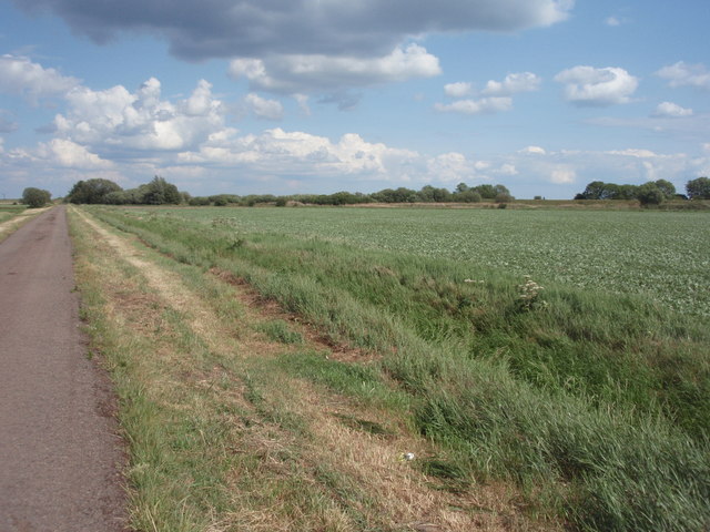
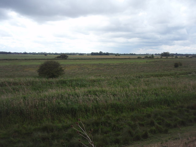
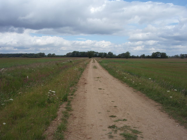
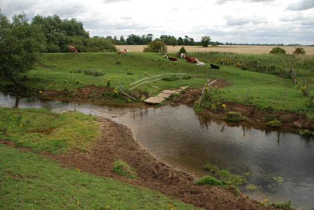
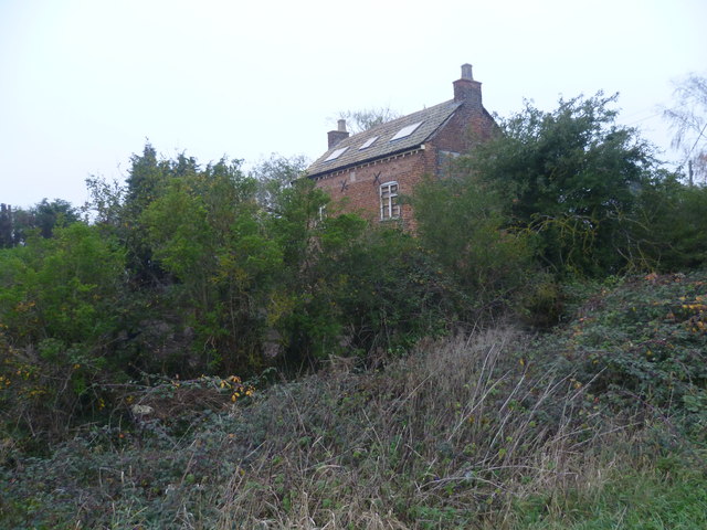
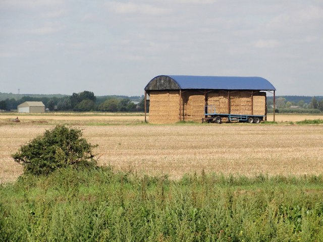
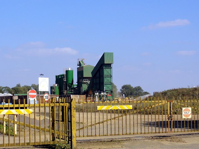
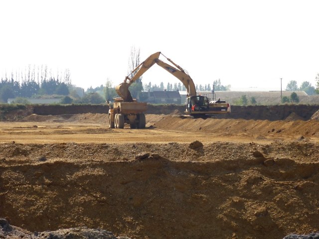
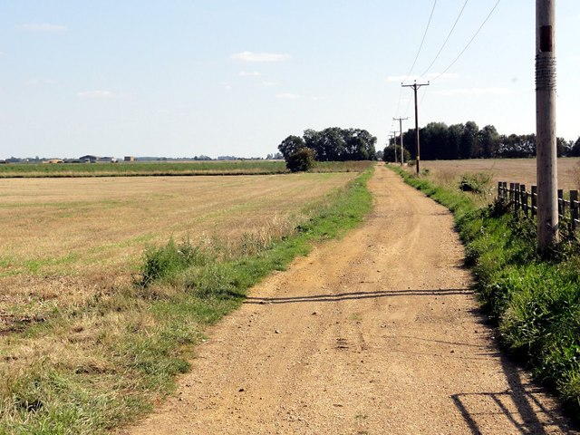
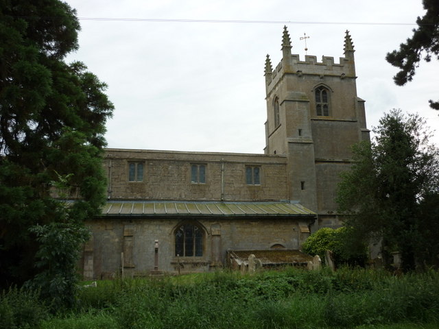
Hack's Plantation Images

Images are sourced within 2km of 52.725941/-0.33492985 or Grid Reference TF1215. Thanks to Geograph Open Source API. All images are credited.

Middle Drain Looking east from Manthorpe Drove.
Middle Drain
Looking east from Manthorpe Drove.
Field north of the River Glen A field to the north of the River Glen.
Field north of the River Glen
A field to the north of the River Glen.
Track to Baston Fen Farm A fenland drove that leads to Baston Fen Farm, Thurlby Fen.
Track to Baston Fen Farm
A fenland drove that leads to Baston Fen Farm, Thurlby Fen.
Middle Drain Looking west from Manthorpe Drove.
Middle Drain
Looking west from Manthorpe Drove.
Baston Fen Part of the Baston Fen nature reserve viewed from the footpath on the south River Glen bank.
Baston Fen
Part of the Baston Fen nature reserve viewed from the footpath on the south River Glen bank.
North Meadow Road Looking north along North Meadow Road towards the River Glen.
North Meadow Road
Looking north along North Meadow Road towards the River Glen.
Cattle Ford at Thurlby Fen near Thurlby This ford is found on the West Glen River at Thulby Fen.
Cattle Ford at Thurlby Fen near Thurlby
This ford is found on the West Glen River at Thulby Fen.
Baston village sign The village sign at Baston was erected alongside Main Street to mark the new Millennium. The illustrated sign depicts scenes from the village's past. The village lies between the Roman road known as King Street, and the canal called Car Dyke which the Romans used to haul men and supplies to their armies in the north. The sign includes a Roman soldier, Hudson's corn mill and a stook (representing agriculture). A time capsule is buried beneath the sign.
Baston village sign
The village sign at Baston was erected alongside Main Street to mark the new Millennium. The illustrated sign depicts scenes from the village's past. The village lies between the Roman road known as King Street, and the canal called Car Dyke which the Romans used to haul men and supplies to their armies in the north. The sign includes a Roman soldier, Hudson's corn mill and a stook (representing agriculture). A time capsule is buried beneath the sign.
Derelict pub on Baston Outgang Road It appears as if the former New Inn on the corner of Baston Outgang Road and Cross Road was being restored as a dwelling. Certainly the rubbish piled in front of it as seen on Street View seems to have been cleared and the roof has been repaired.
Derelict pub on Baston Outgang Road
It appears as if the former New Inn on the corner of Baston Outgang Road and Cross Road was being restored as a dwelling. Certainly the rubbish piled in front of it as seen on Street View seems to have been cleared and the roof has been repaired.
Former New Inn at Baston Outang Road It appears as if the former New Inn on the corner of Baston Outgang Road and Cross Road was being restored as a dwelling. Certainly the rubbish piled in front of it as seen on Street View seems to have been cleared and the roof has been repaired. The outbuilding in front though is still completely derelict.
Former New Inn at Baston Outang Road
It appears as if the former New Inn on the corner of Baston Outgang Road and Cross Road was being restored as a dwelling. Certainly the rubbish piled in front of it as seen on Street View seems to have been cleared and the roof has been repaired. The outbuilding in front though is still completely derelict.
Former New Inn as seen from Cross Road It appears as if the former New Inn on the corner of Baston Outgang Road and Cross Road was being restored as a dwelling. Certainly the rubbish piled in front of it as seen on Street View seems to have been cleared and the roof has been repaired. This is the view of the back of it seen from Cross Road.
Former New Inn as seen from Cross Road
It appears as if the former New Inn on the corner of Baston Outgang Road and Cross Road was being restored as a dwelling. Certainly the rubbish piled in front of it as seen on Street View seems to have been cleared and the roof has been repaired. This is the view of the back of it seen from Cross Road.
Long Drove on Thurlby Fen Looking down the road which traverses the length of Thurlby Fen.
Long Drove on Thurlby Fen
Looking down the road which traverses the length of Thurlby Fen.
Barn on Thurlby Fen The barn is sheltering straw bales, the surrounding fields are stubble.
Barn on Thurlby Fen
The barn is sheltering straw bales, the surrounding fields are stubble.
Gravel Works Looking through the gate to the gravel processing works.
Gravel Works
Looking through the gate to the gravel processing works.
Sand and Gravel Extraction in Progress This pit is new enough not to be marked on my map. An excavator scoops up the gravel and loads it into a large dumper truck.
Sand and Gravel Extraction in Progress
This pit is new enough not to be marked on my map. An excavator scoops up the gravel and loads it into a large dumper truck.
Fenland Track This track goes arrow straight across the fenland at right angles to Baston Outgang Road.
Fenland Track
This track goes arrow straight across the fenland at right angles to Baston Outgang Road.
St John the Baptist Church, Baston
Show me another place!

Hack's Plantation is located at Grid Ref: TF1215 (Lat: 52.725941, Lng: -0.33492985)

Administrative County: Lincolnshire

District: South Kesteven

Police Authority: Lincolnshire

What 3 Words

///candles.handfuls.bloom. Near Baston, Lincolnshire

Nearby Locations

Hack's Plantation Baston

Related Wikis

Thetford, Lincolnshire

Thetford is a hamlet and farm in the civil parish of Baston in the South Kesteven district of Lincolnshire, England. Although Thetford has shrunken to...
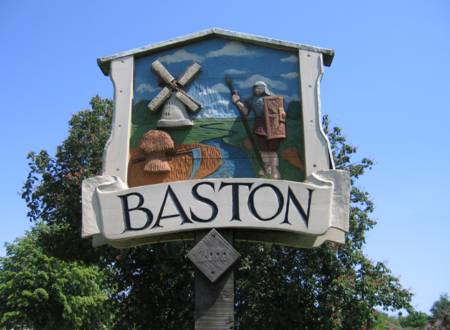
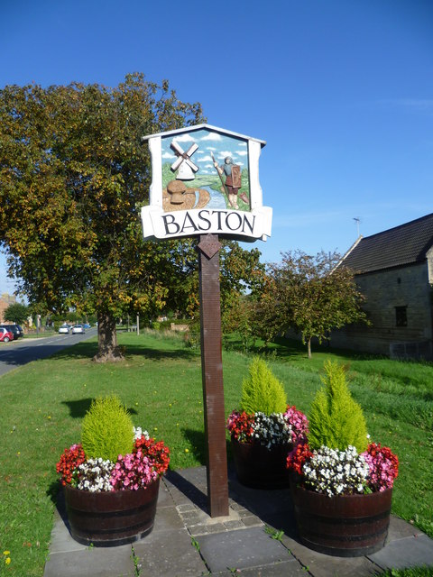
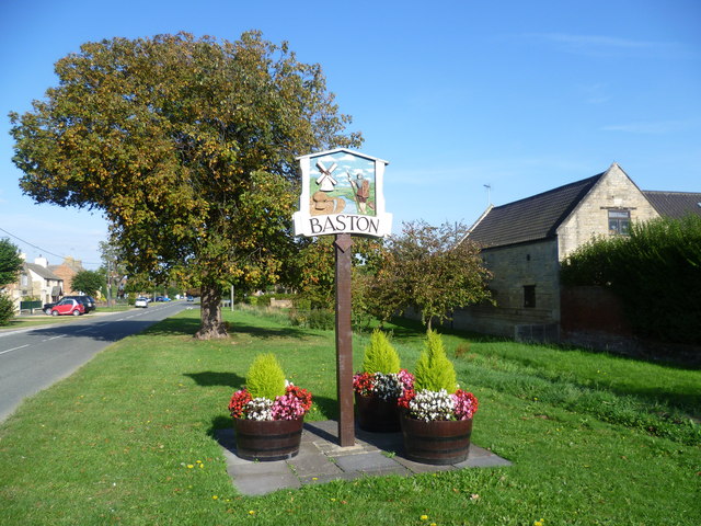
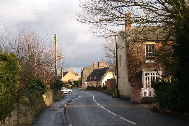
Baston

Baston is a village and parish on the edge of The Fens and in the administrative district of South Kesteven, Lincolnshire, England. The 2011 census reported...

Kates Bridge

Kates Bridge is a landmark settlement on the A15 road, in the parish of Thurlby. It is approximately 3 miles (5 km) south from Bourne, Lincolnshire, England...

Kirkstone House School

Kirkstone House School is an independent day school situated in the rural village of Baston in south Lincolnshire, England.The school provides education...

Langtoft, Lincolnshire

Langtoft is a village and civil parish in the South Kesteven district of Lincolnshire, England. The population of the civil parish at the 2021 census was...

Obthorpe

Obthorpe is a hamlet in the civil parish of Thurlby, in the South Kesteven district of Lincolnshire, England. It lies 3 miles (5 km) south from Bourne...

Thurlby, South Kesteven

Thurlby is a village and civil parish in the South Kesteven district of Lincolnshire, England. It is situated just west of the A15 road, 2 miles (3 km...

Northorpe, South Kesteven

Northorpe is a hamlet in the civil parish of Thurlby (to which it is conjoined), in the South Kesteven district of Lincolnshire, England. It is situated...

Nearby Amenities

Located within 500m of 52.725941,-0.33492985
North Meadow
Place: locality
Source: Bing
Lat/Long: 52.7240126/-0.3413101
Red House Farm
Place: farm
Source: Bing
Lat/Long: 52.7276152/-0.3289867
Building: yes
Lat/Long: 52.7255196/-0.3321089
Note: End of Public Highway
Lat/Long: 52.728973/-0.3339596
The data included in this document is from www.openstreetmap.org. The data is made available under ODbL.

Have you been to Hack's Plantation?

Leave your review of Hack's Plantation below (or comments, questions and feedback).