Barnsley
Civil Parish in Gloucestershire Cotswold
England
Barnsley
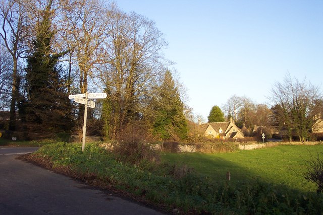
Barnsley is a civil parish located in the county of Gloucestershire, England. Situated in the southern part of the Cotswolds, it covers an area of approximately 5 square miles. The parish is made up of the village of Barnsley and its surrounding countryside.
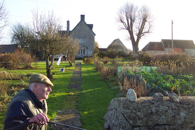
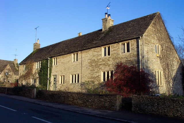
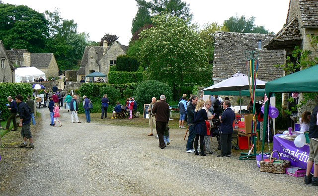
The village of Barnsley is a quintessential English village, known for its picturesque charm and traditional architecture. It boasts a population of around 200 people, creating a close-knit community atmosphere. The village is centered around the historic Barnsley House, a Grade II listed building that was once the home of renowned garden designer Rosemary Verey.
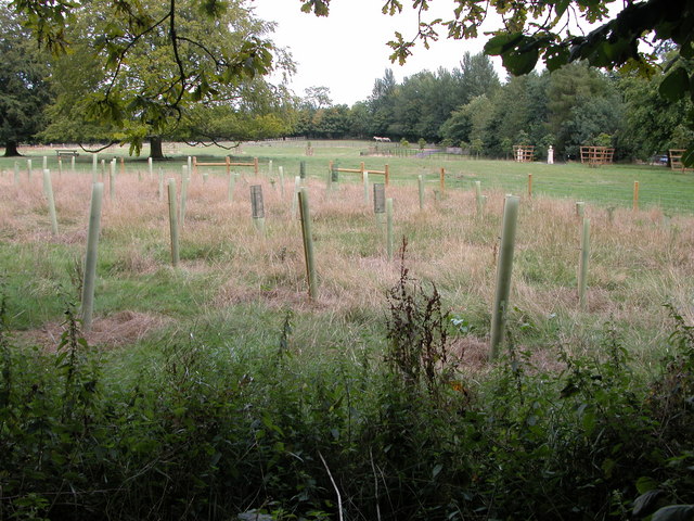
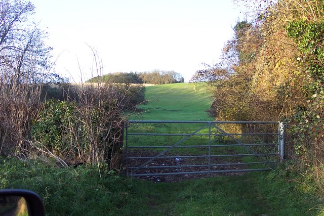
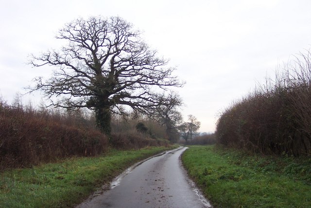
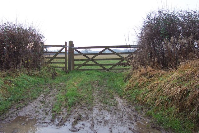
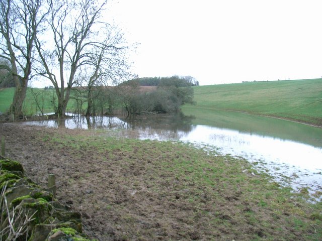
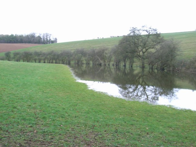
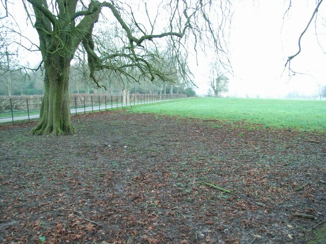
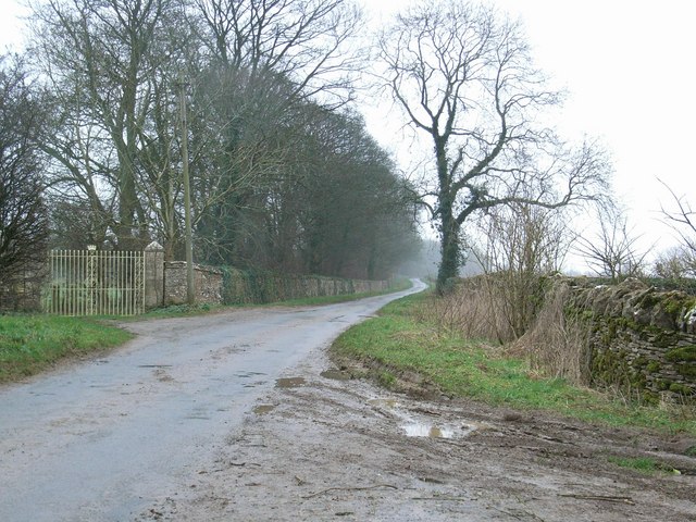
The surrounding countryside offers breathtaking views of rolling hills and green fields, making it a popular destination for nature enthusiasts and hikers. The area is dotted with ancient woodlands and meandering streams, providing ample opportunities for outdoor activities.
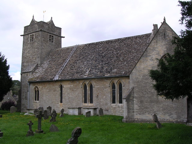
Barnsley is also known for its strong sense of community spirit. The village has a local primary school, a village hall, and a beautiful 12th-century church, St. Mary's. The church is a prominent landmark in the area, with its striking spire visible from miles around.
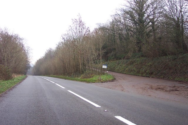
The parish is well-connected to neighboring towns and cities, with the market town of Cirencester located just a few miles away. This provides residents with easy access to amenities, shops, and services.
Overall, Barnsley, Gloucestershire is a charming and idyllic rural parish, offering a peaceful and picturesque setting for residents and visitors alike.
If you have any feedback on the listing, please let us know in the comments section below.
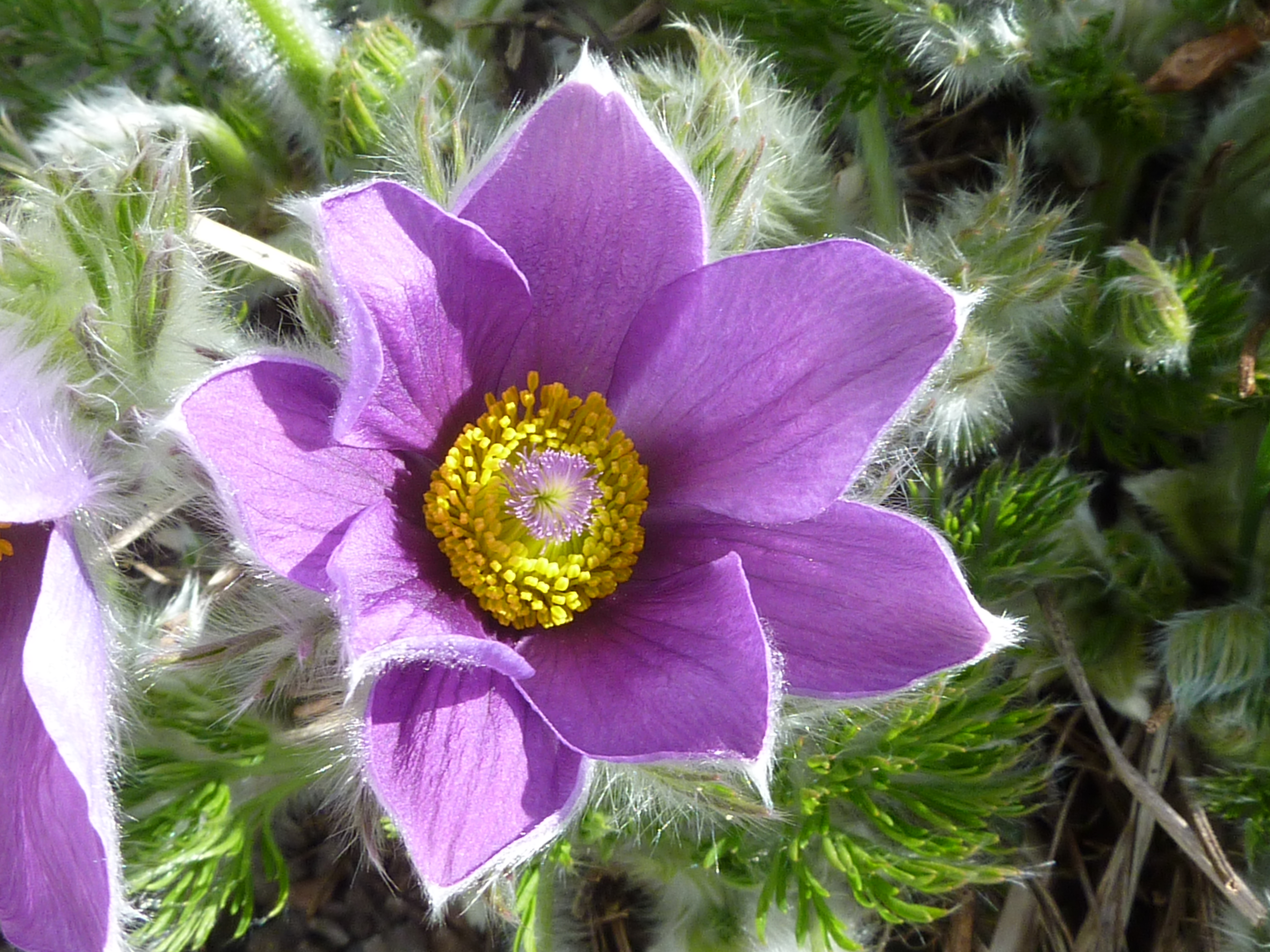
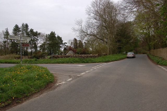
Barnsley Images
Images are sourced within 2km of 51.748169/-1.885795 or Grid Reference SP0705. Thanks to Geograph Open Source API. All images are credited.


Barnsley is located at Grid Ref: SP0705 (Lat: 51.748169, Lng: -1.885795)
Administrative County: Gloucestershire
District: Cotswold
Police Authority: Gloucestershire
What 3 Words
///soggy.doll.chromatic. Near Cirencester, Gloucestershire
Nearby Locations
Related Wikis
Barnsley, Gloucestershire
Barnsley is a village and civil parish in the Cotswold district of Gloucestershire, England, 3.7 miles (6.0 km) northeast of Cirencester. It is 125 kilometres...

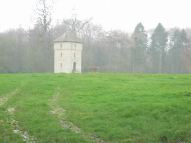
Barnsley Park
Barnsley Park is a country house and park, measuring about 3 miles (4.8 km) in circumference in Barnsley, Gloucestershire, England. == History == An Iron...
Barnsley Warren
Barnsley Warren (grid reference SP055064) is a 61.3-hectare (151-acre) biological Site of Special Scientific Interest in Gloucestershire, notified in 1954...
Ready Token
Ready Token is a hamlet in Gloucestershire, England, located in the Cotswold Hills near Poulton. Despite comprising only a handful of houses it is located...

Winson Meadows
Winson Meadows (grid reference SP093081) is a 7.93-hectare (19.6-acre) biological Site of Special Scientific Interest in Gloucestershire, notified in 1974...
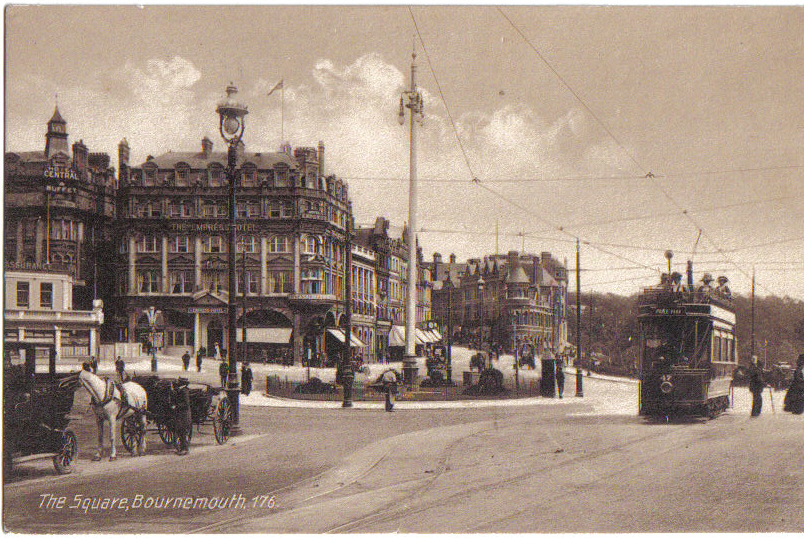
Bournemouth Corporation Tramways
Bournemouth Corporation Tramways served the town of Bournemouth in Dorset (although at the time it was in Hampshire) from 23 July 1902 until 8 April 1936...

Ablington Manor
Ablington Manor is a Grade I listed country house in Potlicker's Lane, Ablington within the parish of Bibury, Gloucestershire, England. The estate was...

Ablington, Gloucestershire
Ablington is a village in the county of Gloucestershire, England. It is located in the Coln Valley and is part of the Bibury civil parish, 6 miles (9...
Nearby Amenities
Located within 500m of 51.748169,-1.885795Have you been to Barnsley?
Leave your review of Barnsley below (or comments, questions and feedback).