Barnsley

Settlement in Gloucestershire Cotswold

England

Barnsley

Barnsley church  St. Mary's
Barnsley church St. Mary's Credit: Anonymous 4610

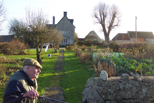
Barnsley is a small village located in Gloucestershire, a county in southwestern England. Situated in the beautiful Cotswolds region, Barnsley is known for its picturesque countryside views and charming rural atmosphere.

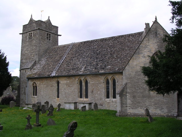
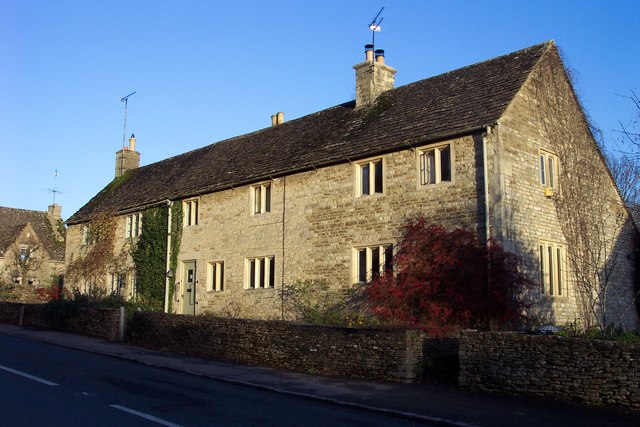
The village is home to a population of around 400 inhabitants, creating a close-knit community feel. The architecture in Barnsley is predominantly traditional, with many houses and buildings dating back several centuries. The village church, St. Mary's, is a notable landmark, boasting a stunning medieval structure.

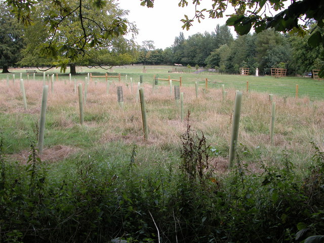
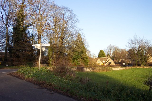
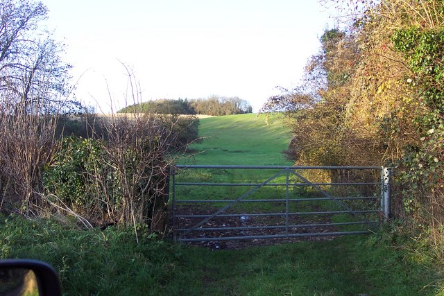
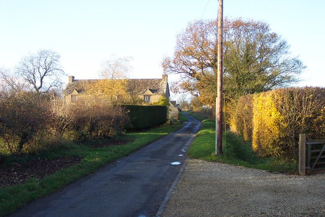
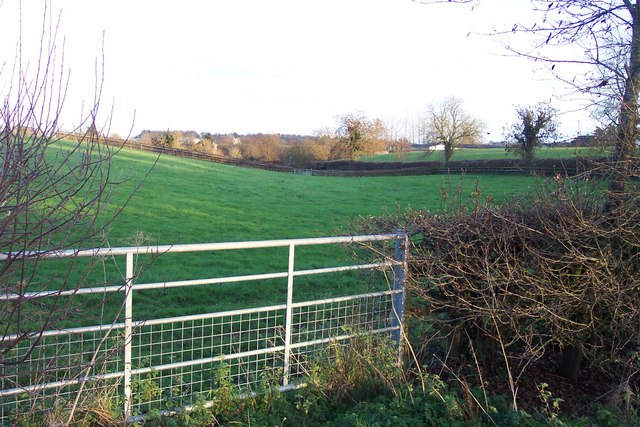
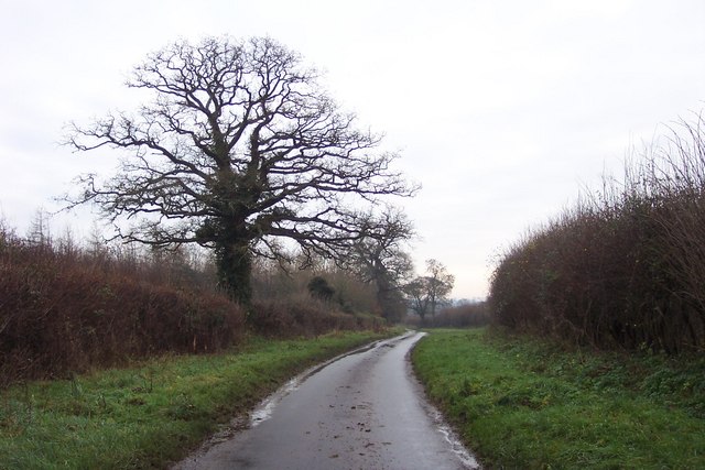
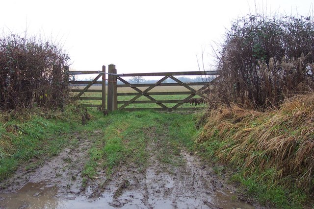
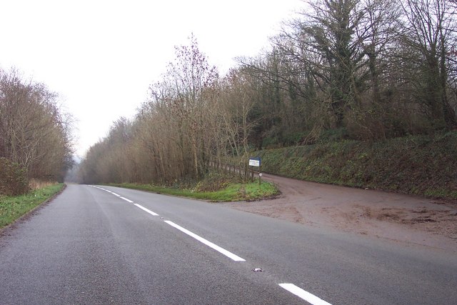
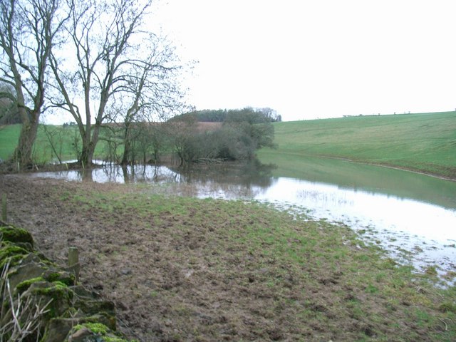
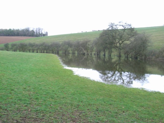
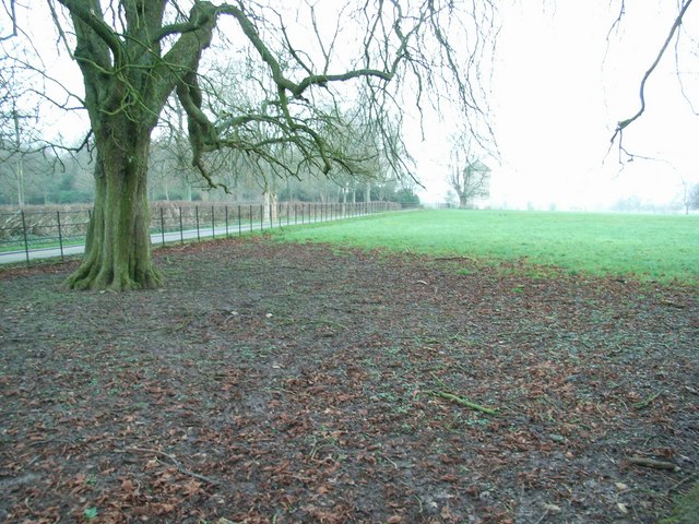
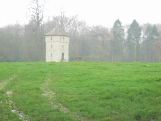
Barnsley is surrounded by rolling hills and lush green fields, making it a haven for nature lovers and outdoor enthusiasts. The area offers numerous walking and cycling trails, allowing visitors to explore the stunning countryside. The nearby Barnsley House Gardens is also worth a visit, featuring beautiful landscaped gardens and a historic manor house.

Despite its small size, Barnsley is not lacking in amenities. The village boasts a cozy pub, The Village Pub, where locals and visitors can enjoy a drink or a meal. Additionally, there is a primary school providing education for the village children.

For those seeking a peaceful getaway, Barnsley offers a serene and tranquil environment. With its idyllic landscapes and charming character, this small village in Gloucestershire provides a perfect retreat for those looking to escape the hustle and bustle of city life.

If you have any feedback on the listing, please let us know in the comments section below.
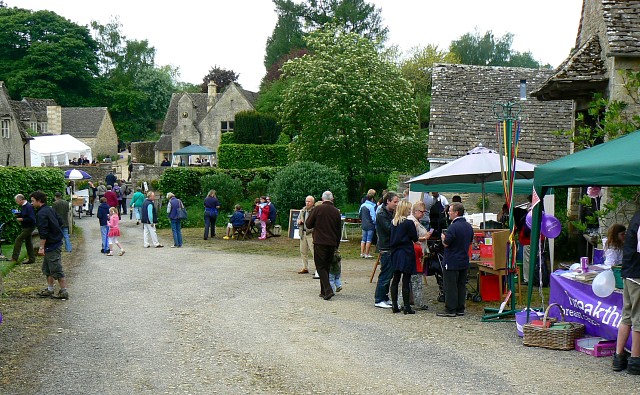
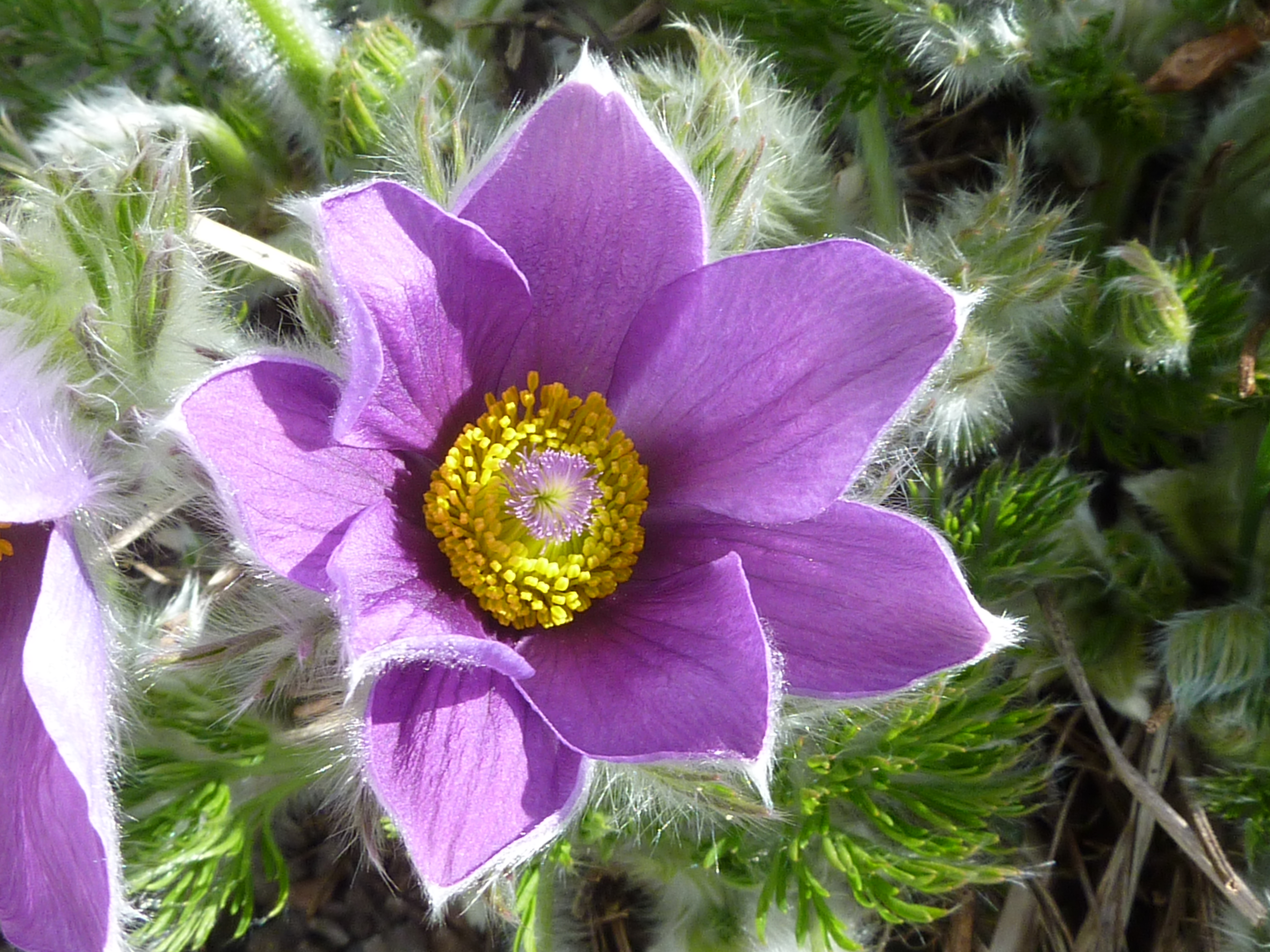
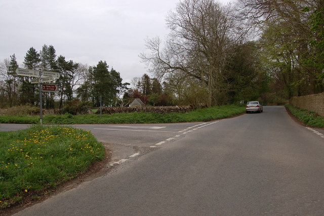
Barnsley Images

Images are sourced within 2km of 51.744199/-1.8906152 or Grid Reference SP0705. Thanks to Geograph Open Source API. All images are credited.

Barnsley church  St. Mary's
Barnsley church St. Mary's
Tree saplings near Rooksmoor Copse This land to the east of the lane and is shown as part of Barnsley Park on the 1940s OS map.
Tree saplings near Rooksmoor Copse
This land to the east of the lane and is shown as part of Barnsley Park on the 1940s OS map.
A country gentleman very proud of his garden. This is at Lower Field Farm, along Akeman Street.
A country gentleman very proud of his garden.
This is at Lower Field Farm, along Akeman Street.
A modern farm building near Ampney Riding.
Approaching Barnsley village from the south.
Cottages in Barnsley village.
Dry valley in the Cotswolds to the west of Barnsley Not completely dry as the autumn rains have produced the winterbourne aptly named the Winterwell.
Apologies for including a car mirror in this early contribution of mine from November 2006.
Dry valley in the Cotswolds to the west of Barnsley
Not completely dry as the autumn rains have produced the winterbourne aptly named the Winterwell. Apologies for including a car mirror in this early contribution of mine from November 2006.
House and lane at Ampney Sheephouse.
Across the fields to Glebe Farm.
The Welsh Way A lane to the east of Barnsley
The Welsh Way
A lane to the east of Barnsley
A muddy gateway, by the Welsh Way
The entrance to Quarry Hill Farm More like a slip road as the main road was straightened to create a stretch of parallel lane.
The entrance to Quarry Hill Farm
More like a slip road as the main road was straightened to create a stretch of parallel lane.
Flooded Winterwell The course of the brook should follow the trees, where it goes under Welsh Way.
Flooded Winterwell
The course of the brook should follow the trees, where it goes under Welsh Way.
Not so dry valley now! Looking along a flooded Winterwell brook towards Middleton Copse. 
Contrast this with <a href="https://www.geograph.org.uk/photo/286538">SP0605 : Dry valley in the Cotswolds to the west of Barnsley</a>.
Not so dry valley now!
Looking along a flooded Winterwell brook towards Middleton Copse. Contrast this with SP0605 : Dry valley in the Cotswolds to the west of Barnsley.
Driveway through Barnsley Park
Barnsley Park The building appears to be a watchtower, guarding the "private road".
Barnsley Park
The building appears to be a watchtower, guarding the "private road".
Sheep in Barnsley Park Deadlands Copse is on the RHS.
Sheep in Barnsley Park
Deadlands Copse is on the RHS.
Path to Cadmoor Copse Cadmoor Copse, a field and a half away, becoming obscured by the heavy drizzle.
Path to Cadmoor Copse
Cadmoor Copse, a field and a half away, becoming obscured by the heavy drizzle.
Show me another place!

Barnsley is located at Grid Ref: SP0705 (Lat: 51.744199, Lng: -1.8906152)

Administrative County: Gloucestershire

District: Cotswold

Police Authority: Gloucestershire

What 3 Words

///confused.painting.suggested. Near Cirencester, Gloucestershire

Related Wikis

Barnsley, Gloucestershire

Barnsley is a village and civil parish in the Cotswold district of Gloucestershire, England, 3.7 miles (6.0 km) northeast of Cirencester. It is 125 kilometres...

Barnsley Park

Barnsley Park is a country house and park, measuring about 3 miles (4.8 km) in circumference in Barnsley, Gloucestershire, England. == History == An Iron...

Barnsley Warren

Barnsley Warren (grid reference SP055064) is a 61.3-hectare (151-acre) biological Site of Special Scientific Interest in Gloucestershire, notified in 1954...

Bournemouth Corporation Tramways

Bournemouth Corporation Tramways served the town of Bournemouth in Dorset (although at the time it was in Hampshire) from 23 July 1902 until 8 April 1936...

Ready Token

Ready Token is a hamlet in Gloucestershire, England, located in the Cotswold Hills near Poulton. Despite comprising only a handful of houses it is located...

Ampney Crucis

Ampney Crucis is a village and civil parish in the Cotswolds, part of the Cotswold District of Gloucestershire, England. The village is in the Ampney-Coln...

Church of the Holy Rood, Ampney Crucis

The Anglican Church of the Holy Rood at Ampney Crucis in the Cotswold District of Gloucestershire, England has Saxon foundations with some of the stonework...

Ampney Park

Ampney Park is a 16th century manor house at Ampney Crucis, Gloucestershire, England. It is a Grade II listed building. == History == The estate is attached...

Nearby Amenities

Located within 500m of 51.744199,-1.8906152
Barnsley
Place: village
Postal Code: GL7 5
Lat/Long: 51.7450176/-1.888026
Bus Stop
Barnsley House
Bus: yes
Naptan AtcoCode: 1600GL271
Naptan Bearing: NE
Naptan CommonName: Barnsley House
Naptan Indicator: Opp
Naptan NaptanCode: glogdaga
Naptan Street: B4425
Naptan Verified: no
Public Transport: platform
Source: naptan_import
Lat/Long: 51.743461/-1.8911103
Bus Stop
Barnsley House
Bus: yes
Naptan AtcoCode: 1600GL272
Naptan Bearing: SW
Naptan CommonName: Barnsley House
Naptan NaptanCode: glogdagm
Naptan Street: B4425
Naptan Verified: no
Public Transport: platform
Source: naptan_import
Lat/Long: 51.7433351/-1.8910961
Bus Stop
The Village Pub
Bus: yes
Naptan AtcoCode: 1600GL275
Naptan Bearing: NE
Naptan CommonName: The Village Pub
Naptan NaptanCode: glogdagp
Naptan Street: B4425
Naptan Verified: no
Public Transport: platform
Source: naptan_import
Lat/Long: 51.7449707/-1.8902376
Bus Stop
The Village Pub
Bus: yes
Naptan AtcoCode: 1600GL276
Naptan Bearing: SW
Naptan CommonName: The Village Pub
Naptan Indicator: Opp
Naptan NaptanCode: glogdagt
Naptan Street: B4425
Naptan Verified: no
Public Transport: platform
Source: naptan_import
Lat/Long: 51.7449976/-1.8901217
Barrier: stile
Lat/Long: 51.7459912/-1.888294
Barrier: stile
Lat/Long: 51.7472291/-1.887499
Barrier: stile
Lat/Long: 51.7473396/-1.8874384
Barrier: stile
Lat/Long: 51.741578/-1.8899935
Barrier: stile
Lat/Long: 51.7443135/-1.8888847
Post Box
Operator: Royal Mail
Post Box Type: wall
Ref: GL7 38D
Royal Cypher: EIIR
Royal Cypher Wikidata: Q33102113
Lat/Long: 51.744779/-1.8902036
Telephone
Booth: K6
Covered: booth
Phone: +44 1285 740379
Lat/Long: 51.7440234/-1.8904175
Historic: memorial
Memorial: war_memorial
Lat/Long: 51.7448965/-1.8901265
Power: pole
Lat/Long: 51.7423126/-1.8846792
Power: pole
Lat/Long: 51.7429291/-1.8849342
Power: pole
Lat/Long: 51.7435303/-1.8851358
Power: pole
Lat/Long: 51.7440544/-1.8856088
Power: pole
Lat/Long: 51.7445509/-1.8861108
Power: pole
Lat/Long: 51.7450415/-1.886561
Power: pole
Lat/Long: 51.7455338/-1.8870109
Power: pole
Lat/Long: 51.7460464/-1.887473
The data included in this document is from www.openstreetmap.org. The data is made available under ODbL.

Have you been to Barnsley?

Leave your review of Barnsley below (or comments, questions and feedback).