Babraham
Civil Parish in Cambridgeshire South Cambridgeshire
England
Babraham
Babraham is a civil parish located in Cambridgeshire, England. Situated about 6 miles southeast of the city of Cambridge, it is a small village with a population of around 200 people. The parish covers an area of approximately 4.5 square miles.
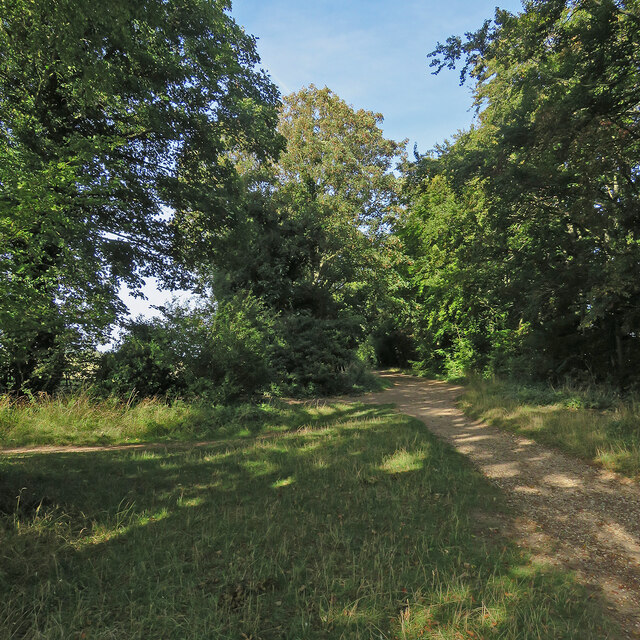
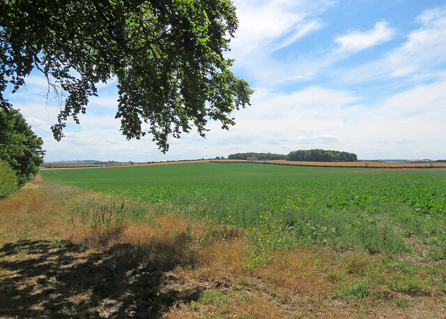
The village of Babraham has a rich history that dates back to Roman times. The name "Babraham" is believed to have originated from the Old English words "Bebba's homestead" or "Beorma's homestead," indicating its ancient heritage. The village is known for its picturesque countryside, rolling hills, and charming thatched cottages.
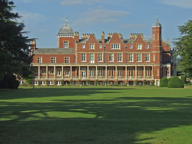
One of the prominent features of Babraham is its historic estate, Babraham Hall. The hall, built in the 16th century, is a Grade I listed building and is surrounded by beautiful gardens and parkland. It has been the home of the same family for over 250 years and is not open to the public.
The village has a close-knit community and a range of amenities. These include a primary school, a village hall, and a church. St. Peter's Church, dating back to the 13th century, is a notable architectural landmark in Babraham.
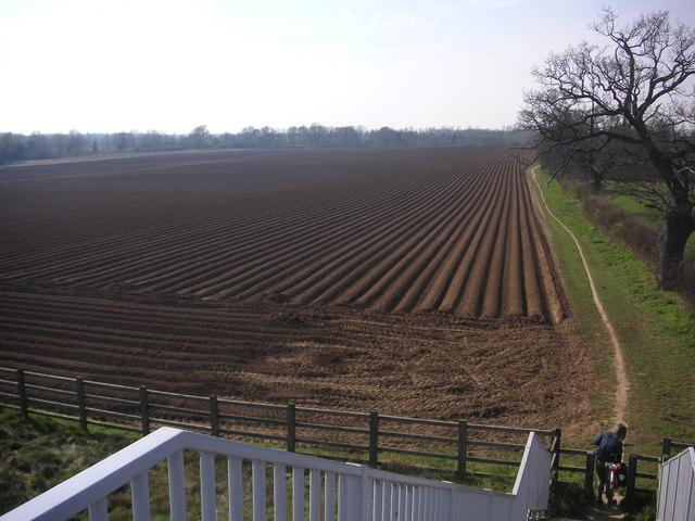
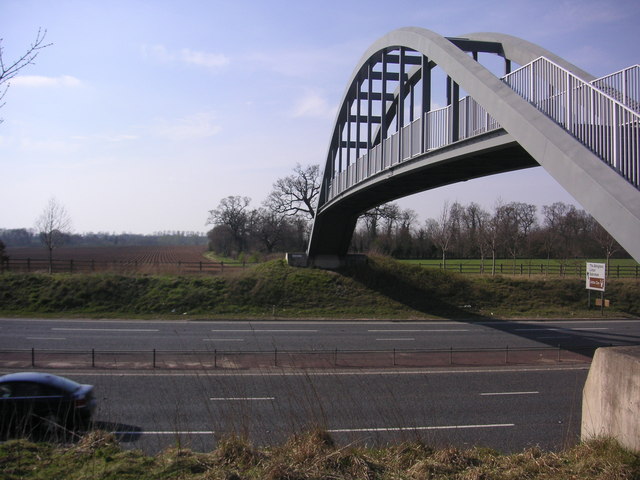
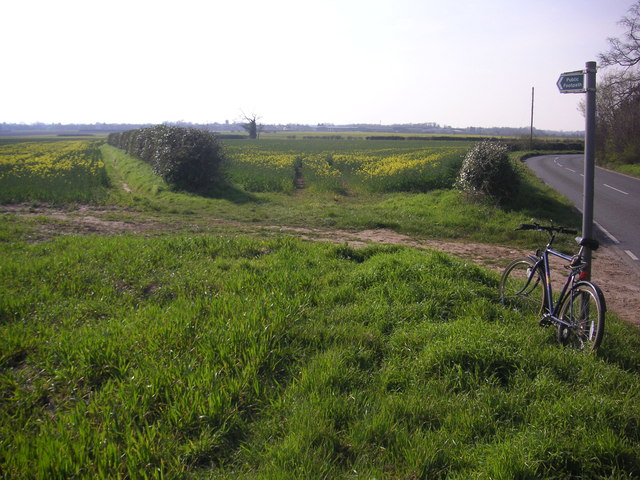
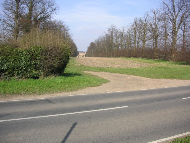
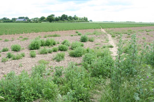
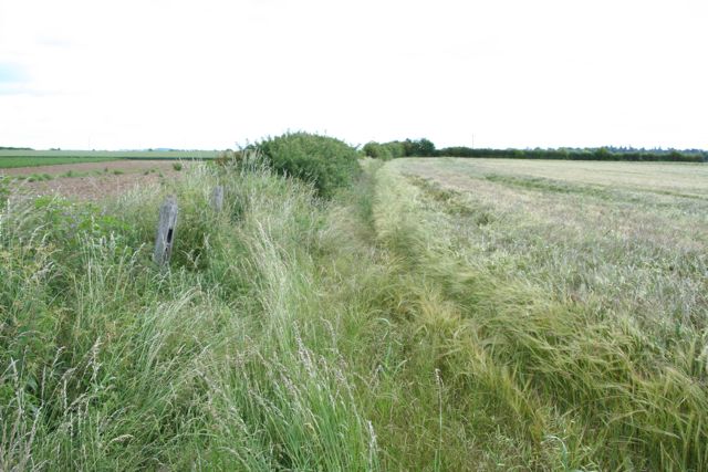
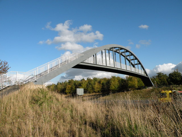
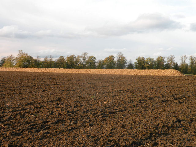
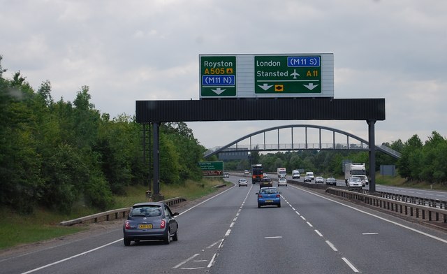
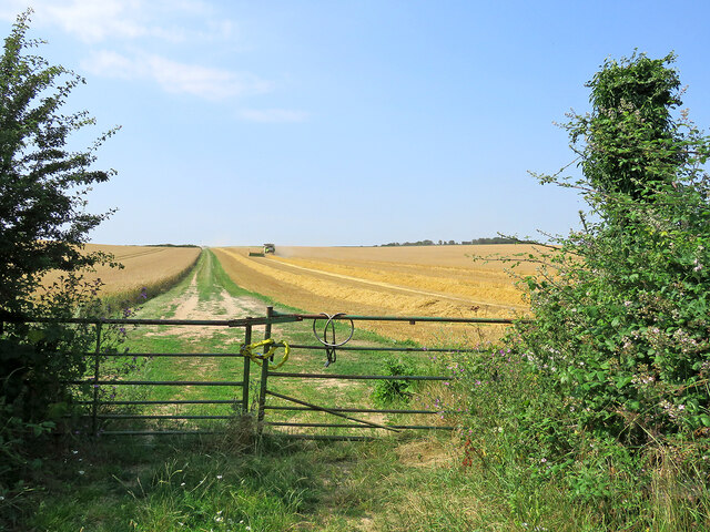
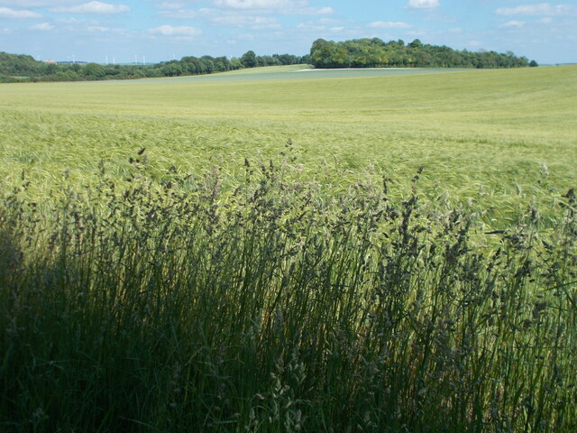
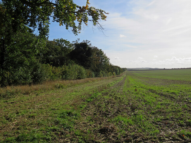
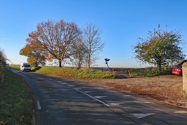
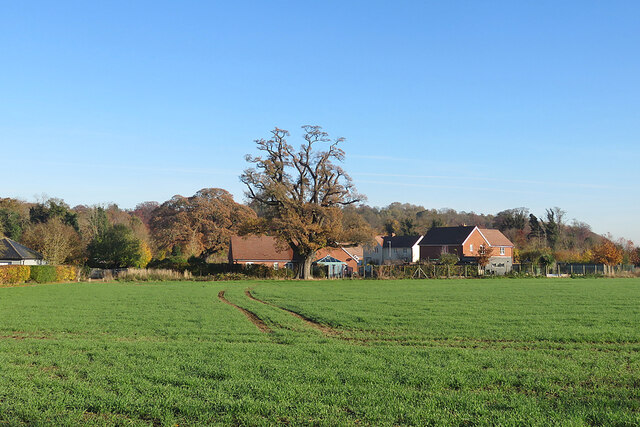
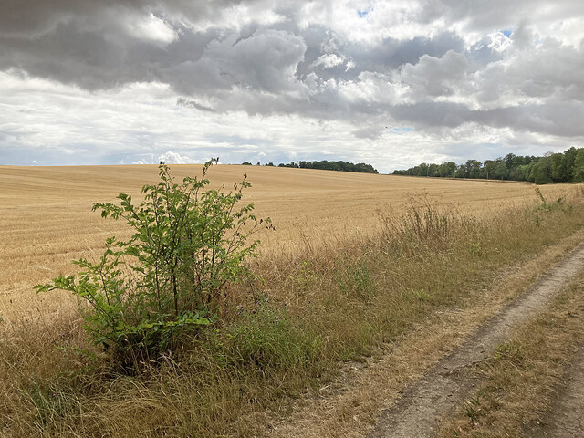
The surrounding area of Babraham is primarily agricultural, with farmland and open fields dominating the landscape. The village is well-connected to Cambridge and other neighboring towns by road, and several public transportation options are available.
In summary, Babraham is a small and historic village in Cambridgeshire, known for its beautiful countryside and notable landmarks such as Babraham Hall and St. Peter's Church. It offers a peaceful and idyllic setting for its residents.
If you have any feedback on the listing, please let us know in the comments section below.
Babraham Images
Images are sourced within 2km of 52.139963/0.20449 or Grid Reference TL5051. Thanks to Geograph Open Source API. All images are credited.
Babraham is located at Grid Ref: TL5051 (Lat: 52.139963, Lng: 0.20449)
Administrative County: Cambridgeshire
District: South Cambridgeshire
Police Authority: Cambridgeshire
What 3 Words
///laugh.balancing.crusaders. Near Sawston, Cambridgeshire
Nearby Locations
Related Wikis
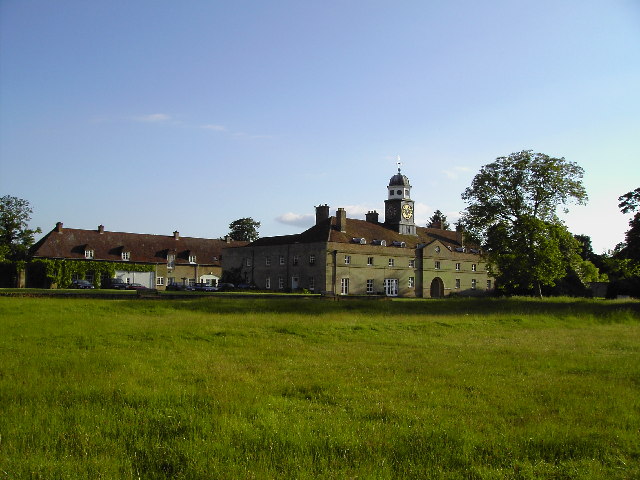
Babraham Institute
The Babraham Institute is a life sciences research institution and a partner organisation of the University of Cambridge. The Babraham Institute is based...

Abington railway station (England)
Abington railway station served Little Abington, Great Abington and Babraham in Cambridgeshire. It closed in 1851, along with its line which was one of...

Roman Road, Cambridgeshire
The Roman Road in Cambridgeshire, also known as Worsted Street Roman Road, is a 12.4-hectare (31-acre) linear biological Site of Special Scientific Interest...
Babraham
Babraham is a village and civil parish in the South Cambridgeshire district of Cambridgeshire, England, about 6 miles (9.7 km) south-east of Cambridge...

Wandlebury Hill Fort
Wandlebury Hill Fort, also known as the Wandlebury Ring, is an Iron Age hillfort located on Wandlebury Hill in the Gog Magog Hills, Cambridgeshire, England...
Bourne Bridge railway station
Bourne Bridge railway station served Little Abington, Great Abington, Pampisford and Babraham in Cambridgeshire. It was closed in 1851, along with its...
Wandlebury Hill
Wandlebury Hill (grid reference TL493534) is a peak in the Gog Magog Hills, a ridge of low chalk hills extending for several miles to the southeast of...

Little Trees Hill
Little Trees Hill is one of the highest points of the Gog Magog Hills, a ridge of low chalk hills extending for several miles to the south-east of Cambridge...
Nearby Amenities
Located within 500m of 52.139963,0.20449Have you been to Babraham?
Leave your review of Babraham below (or comments, questions and feedback).