Babcary
Civil Parish in Somerset South Somerset
England
Babcary
Babcary is a civil parish located in the county of Somerset, England. It is situated about eight miles east of the town of Yeovil and approximately three miles south of Castle Cary. The parish covers an area of approximately 1,150 acres and has a population of around 400 people.
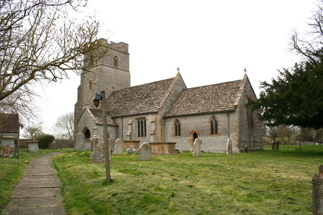
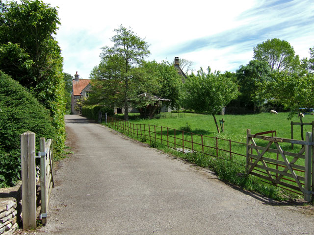
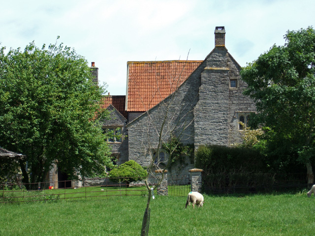
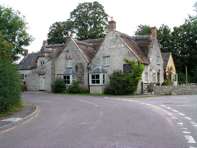
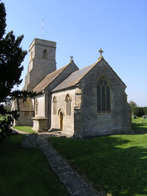
The village of Babcary is known for its picturesque and rural setting, with charming thatched cottages and a historic church, St. Eadburgha's, dating back to the 13th century. The church is a Grade I listed building and is known for its beautiful stained glass windows and intricate stone carvings.
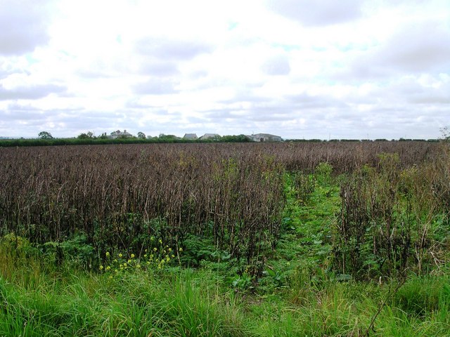
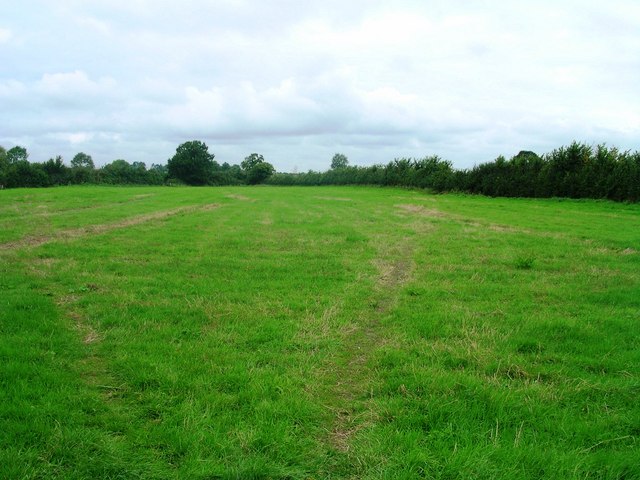
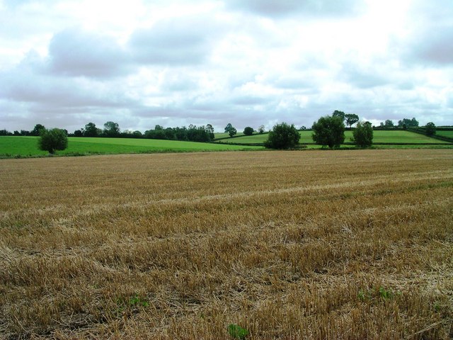
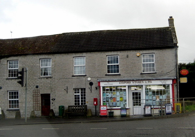
Agriculture plays a major role in the economy of Babcary, with farming being the primary occupation for many residents. The fertile soil and favorable climate in the area make it suitable for growing crops and rearing livestock. The parish is also home to several small businesses, including a village shop and a pub.
The community in Babcary is close-knit, and various social events and activities take place throughout the year. These include the Babcary Beer Festival, the village fete, and regular gatherings at the local pub. The parish also has a primary school, providing education to children in the area.
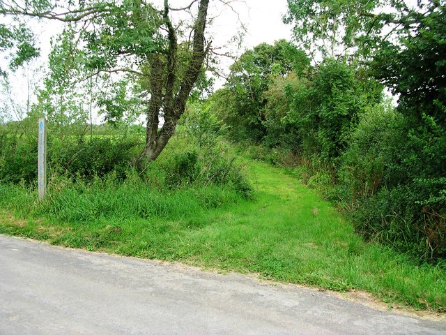
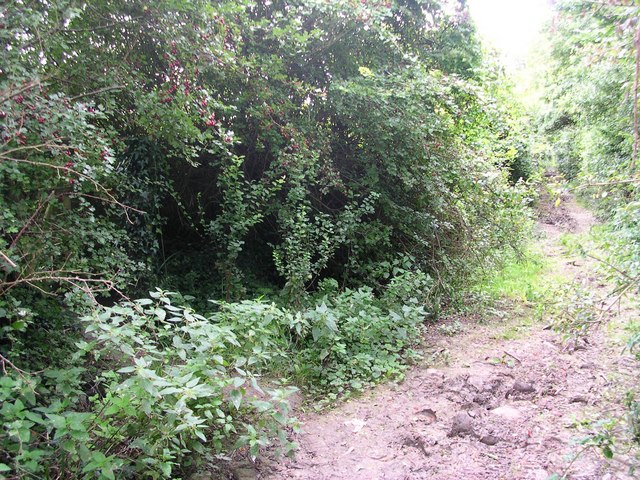
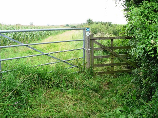
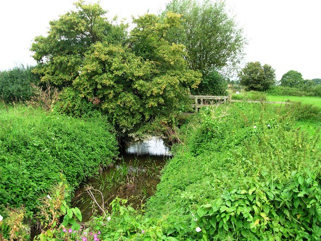
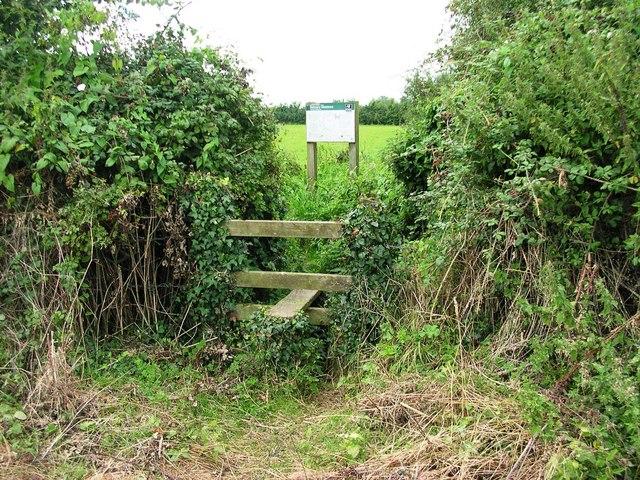
Babcary is surrounded by beautiful countryside, making it an attractive destination for nature lovers and outdoor enthusiasts. The village is located near the River Cary and offers opportunities for walking, cycling, and exploring the surrounding landscape.
In summary, Babcary is a charming and rural civil parish in Somerset, known for its picturesque setting, historic church, agricultural heritage, and strong sense of community.
If you have any feedback on the listing, please let us know in the comments section below.
Babcary Images
Images are sourced within 2km of 51.055274/-2.611227 or Grid Reference ST5728. Thanks to Geograph Open Source API. All images are credited.


Babcary is located at Grid Ref: ST5728 (Lat: 51.055274, Lng: -2.611227)
Administrative County: Somerset
District: South Somerset
Police Authority: Avon and Somerset
What 3 Words
///movement.intensely.kitten. Near Ilchester, Somerset
Nearby Locations
Related Wikis

Babcary
Babcary is a village and civil parish in Somerset, England, about 5 miles (8.0 km) east of Somerton and 6 miles (9.7 km) southwest of Castle Cary. The...

Babcary Meadows
Babcary Meadows (grid reference ST567293) is a 13.6 hectares (34 acres) biological Site of Special Scientific Interest north of Babcary in Somerset, notified...

Church of the Holy Cross, Babcary
The Anglican Church of the Holy Cross in Babcary, Somerset, England, was built in the 14th century. It is a Grade II* listed building. == History == The...
Wimble Toot
Wimble Toot is a burial mound or, possibly, a motte built near the village of Babcary, Somerset, England. It is a scheduled ancient monument with a list...
Lydford-on-Fosse
Lydford-on-Fosse is a village and civil parish in the Mendip district of Somerset, England. The parish includes the village of West Lydford and hamlet...

Church of the Blessed Virgin Mary, East Lydford
The Church of the Blessed Virgin Mary is a former Church of England church in East Lydford, Somerset, England. Designed by Benjamin Ferrey, it was built...
Lovington, Somerset
Lovington is a village and civil parish in Somerset, England, situated 3 miles (4.8 km) south west of Castle Cary, between the River Brue and River Cary...

Church of St Peter, South Barrow
The Anglican Church of St Peter in South Barrow, Somerset, England was built in the 14th century. It is a Grade II* listed building. == History == The...
Nearby Amenities
Located within 500m of 51.055274,-2.611227Have you been to Babcary?
Leave your review of Babcary below (or comments, questions and feedback).