Babworth
Civil Parish in Nottinghamshire Bassetlaw
England
Babworth
Babworth is a civil parish located in the county of Nottinghamshire, England. It is situated approximately 3 miles north of the market town of Retford. The parish covers an area of around 1,500 acres and has a population of around 300 people.
The village of Babworth is known for its historical significance, particularly in relation to the Pilgrim Fathers. It was in this village that Reverend Richard Clifton preached before a group of separatists who would later become the Pilgrims, setting the stage for their journey to America on the Mayflower in 1620. As a result, Babworth is often referred to as the "Cradle of the Pilgrim Fathers."
The village itself is characterized by its charming rural setting, with picturesque countryside and farmland surrounding it. Babworth boasts a mix of traditional cottages and more modern residences, creating a diverse architectural landscape. The parish also has a local church, St. Peter and St. Paul, which dates back to the 12th century and is known for its historic features and stunning stained glass windows.
Despite its small size, Babworth is a close-knit community with a strong sense of local pride. The parish hosts various events throughout the year, including a summer fete and a Christmas market, bringing residents together to celebrate and enjoy each other's company. The village also benefits from its proximity to Retford, which provides access to amenities such as shops, schools, and healthcare services.
In summary, Babworth is a historic and idyllic civil parish in Nottinghamshire, known for its association with the Pilgrim Fathers and its picturesque countryside. It offers a tranquil and close-knit community for its residents, while also benefiting from its proximity to nearby amenities in Retford.
If you have any feedback on the listing, please let us know in the comments section below.
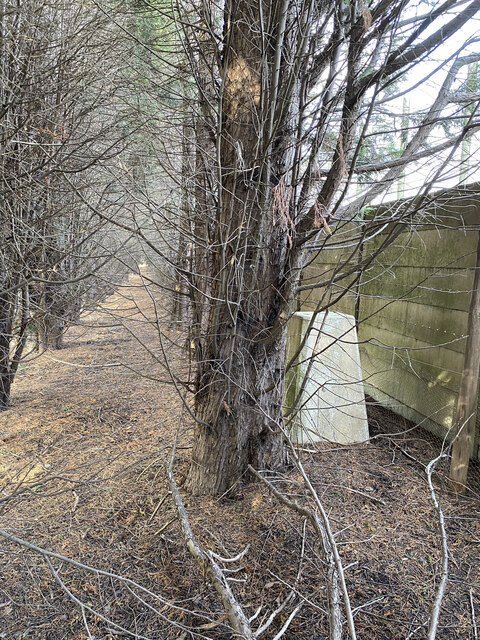
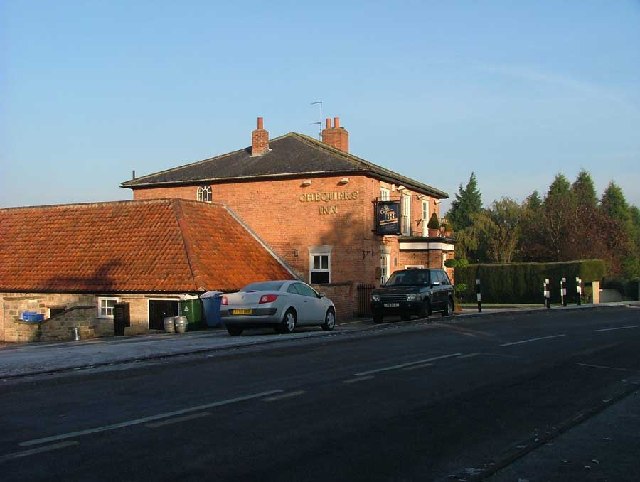
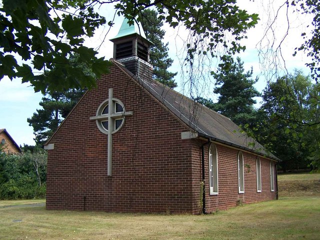
Babworth Images
Images are sourced within 2km of 53.314798/-1.000325 or Grid Reference SK6680. Thanks to Geograph Open Source API. All images are credited.


Babworth is located at Grid Ref: SK6680 (Lat: 53.314798, Lng: -1.000325)
Administrative County: Nottinghamshire
District: Bassetlaw
Police Authority: Nottinghamshire
What 3 Words
///measuring.robot.dial. Near Babworth, Nottinghamshire
Nearby Locations
Related Wikis

HM Prison Ranby
HM Prison Ranby is a Category C men's prison, located in the village of Ranby in Nottinghamshire, England. The prison is operated by His Majesty's Prison...
Ranby, Nottinghamshire
Ranby is a small village in the north of Nottinghamshire, next to the Chesterfield Canal and adjacent to the A1. It is in the civil parish of Babworth...
Babworth
Babworth is a village and civil parish in the Bassetlaw district of Nottinghamshire, England, about 1½ miles west of Retford. According to the 2001 census...
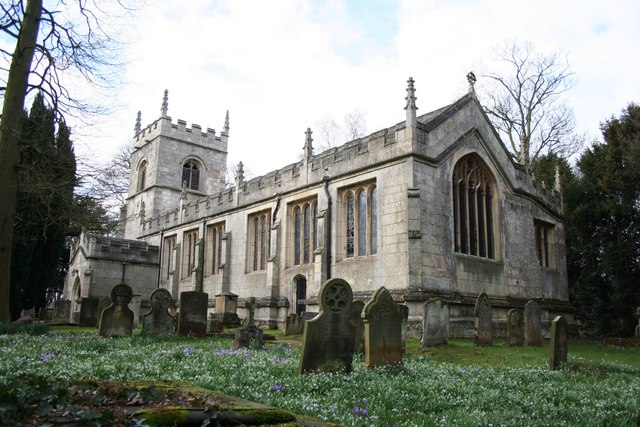
All Saints' Church, Babworth
All Saints' Church, is a Grade I listed parish church in the Church of England in Babworth, Nottinghamshire. == History == The church was built in the...

Checker House railway station
Checker House railway station was a station between Retford and Worksop, Nottinghamshire, England which served the village of Ranby from 1852 to 1931....
Ordsall Hall School
Ordsall Hall Comprehensive School was a comprehensive school situated on Ordsall Road in the market town of East Retford in the district of Bassetlaw,...
Retford F.C.
Retford Football Club is an English football club based in Retford, Nottinghamshire. They currently play in the Northern Counties East League Division...
Retford Oaks Academy
Retford Oaks Academy is a coeducational secondary school and sixth form located in the market town of Retford, Nottinghamshire, England, situated in the...
Nearby Amenities
Located within 500m of 53.314798,-1.000325Have you been to Babworth?
Leave your review of Babworth below (or comments, questions and feedback).