Ash Grove

Wood, Forest in Cambridgeshire South Cambridgeshire

England

Ash Grove

Footpath diverging from Sawston Road Footpath diverging from Sawston Road near Church Farm. At the horizon there are the buildings of Sawston visible.
Footpath diverging from Sawston Road Credit: Oda Stoevesandt and Karsten Koehler

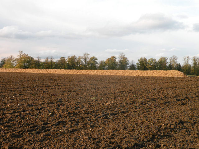
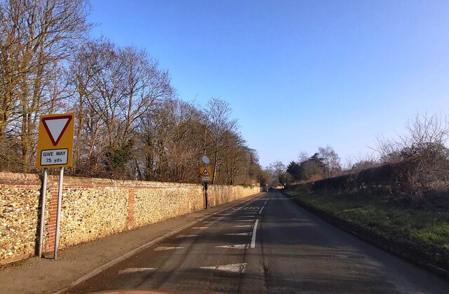
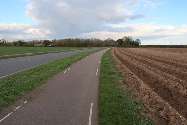
Ash Grove is a picturesque woodland located in the county of Cambridgeshire, England. Nestled in the heart of the countryside, this forested area spans approximately 50 acres and is renowned for its natural beauty and tranquility.

The grove is predominantly made up of native deciduous trees, such as oak, beech, and ash, which provide a dense canopy that filters the sunlight and creates a cool and shady atmosphere. The forest floor is covered with a diverse array of plant life, including bluebells, ferns, and wild garlic, which flourish in the damp and fertile soil.

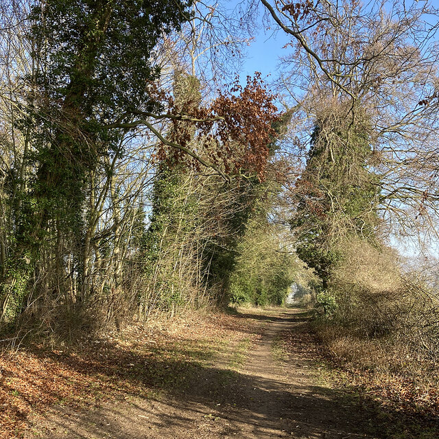
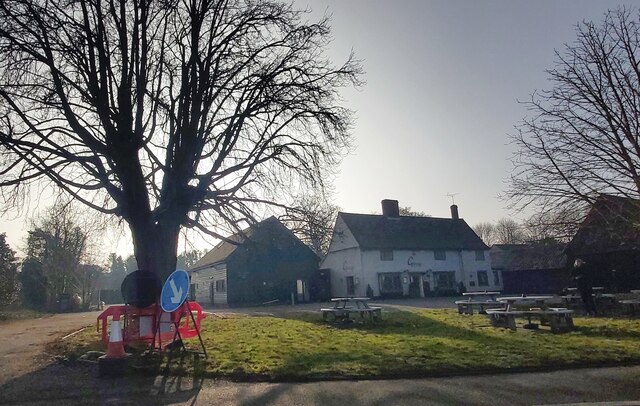
Walking trails wind their way through Ash Grove, offering visitors the opportunity to explore and immerse themselves in the serene surroundings. These paths are well-maintained and suitable for all levels of fitness, making it an ideal destination for families, nature enthusiasts, and hikers alike. Along the trails, there are occasional benches and picnic spots where visitors can rest and enjoy a packed lunch while taking in the natural splendor.

The forest is also home to a rich variety of wildlife. Keen observers may spot deer, foxes, squirrels, and a wide range of bird species, including owls and woodpeckers. The peaceful ambiance of Ash Grove makes it an inviting habitat for these creatures, offering a safe haven away from human disruptions.

Overall, Ash Grove is a true gem of Cambridgeshire, providing a serene escape from the hustle and bustle of everyday life. Its lush vegetation, well-maintained trails, and abundant wildlife make it a must-visit destination for anyone seeking a peaceful and rejuvenating experience in nature.

If you have any feedback on the listing, please let us know in the comments section below.
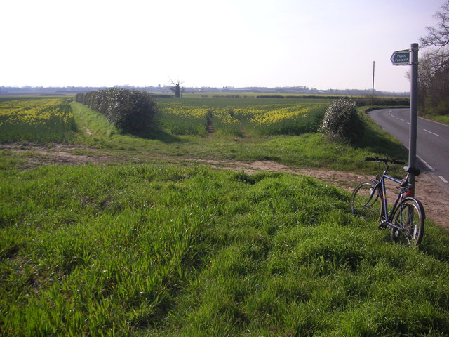
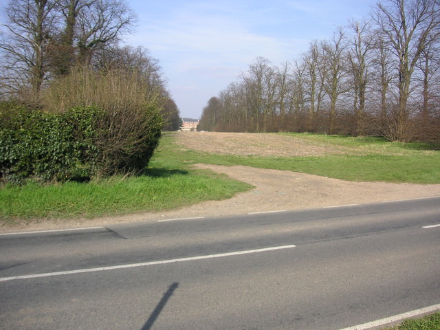
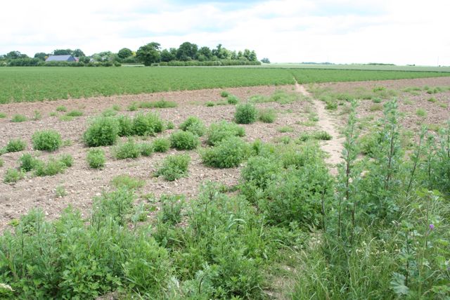
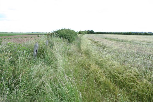
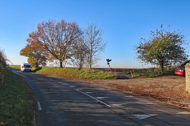
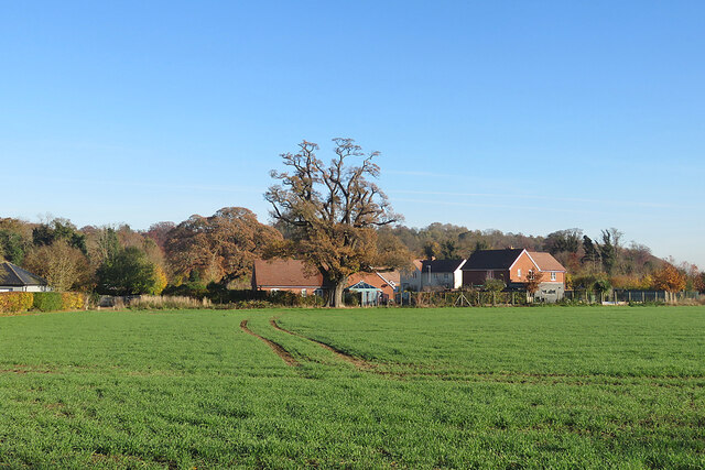
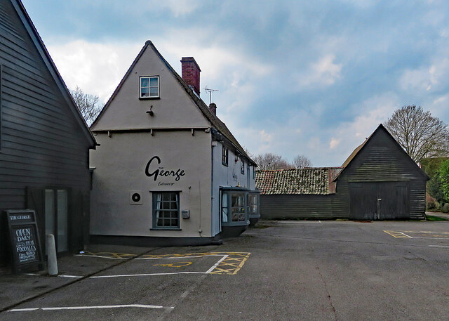
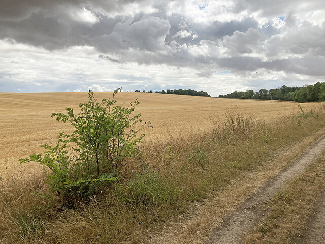
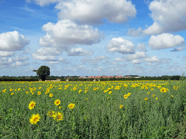
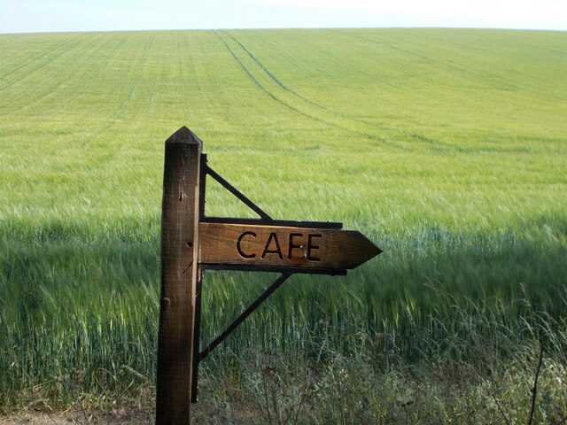
Ash Grove Images

Images are sourced within 2km of 52.138852/0.19195209 or Grid Reference TL5051. Thanks to Geograph Open Source API. All images are credited.

Footpath diverging from Sawston Road Footpath diverging from Sawston Road near Church Farm. At the horizon there are the buildings of Sawston visible.
Footpath diverging from Sawston Road
Footpath diverging from Sawston Road near Church Farm. At the horizon there are the buildings of Sawston visible.
Babraham Hall viewed from Sawston Road Babraham Hall viewed from Sawston Road near Church Farm
Babraham Hall viewed from Sawston Road
Babraham Hall viewed from Sawston Road near Church Farm
Track from Babraham to Sawston At this point it crosses a dismantled railway.
Track from Babraham to Sawston
At this point it crosses a dismantled railway.
Track from Babraham to Sawston Showing the line of the dismantled railway.
Track from Babraham to Sawston
Showing the line of the dismantled railway.
The Great Wall of Sugar-Beet
Babraham: at the corner of Rowley Lane The skew-whiff fingerpost points along Rowley Lane, a track to Stapleford. The van is coming in to Babraham from Sawston or Pampisford.
Babraham: at the corner of Rowley Lane
The skew-whiff fingerpost points along Rowley Lane, a track to Stapleford. The van is coming in to Babraham from Sawston or Pampisford.
Babraham: over the hedge on Honeysuckle Lane The houses on the other side of the field were built quite recently.
Babraham: over the hedge on Honeysuckle Lane
The houses on the other side of the field were built quite recently.
Babraham: The George The George dates from the 17th century and is Grade II listed. High cloud was about to block the sun for half an hour or so.
Babraham: The George
The George dates from the 17th century and is Grade II listed. High cloud was about to block the sun for half an hour or so.
Stubble on the Gogs Looking uphill towards Fox's Burrow Plantation from the track which runs from The Roman Road to the A1307.
Stubble on the Gogs
Looking uphill towards Fox's Burrow Plantation from the track which runs from The Roman Road to the A1307.
Sunflowers, sky and the new edge of Sawston Looking west from the cycle path near Church Farm towards the red roofs of the new estate going up off Babraham Road, on the north-eastern edge of Sawston (in <a href="https://www.geograph.org.uk/gridref/TL4950">TL4950</a>).
Sunflowers, sky and the new edge of Sawston
Looking west from the cycle path near Church Farm towards the red roofs of the new estate going up off Babraham Road, on the north-eastern edge of Sawston (in TL4950).
Café sign on the edge of Wandlebury Country Park
Nearing The Roman Road I had come through mist from the southern edge of Cambridge, but by the time I reached Copley Hill on Mile Road the sky had cleared to the north and north-east and my ride back along The Roman Road was sunny.

Mile Road, a prehistoric track recycled by the Romans, runs from the A1307 to The Roman Road (ahead).
Nearing The Roman Road
I had come through mist from the southern edge of Cambridge, but by the time I reached Copley Hill on Mile Road the sky had cleared to the north and north-east and my ride back along The Roman Road was sunny. Mile Road, a prehistoric track recycled by the Romans, runs from the A1307 to The Roman Road (ahead).
The sun breaking through on Mile Road I had come through thick mist along the A1307 from the southern edge of Cambridge, but on Mile Road the sun was breaking through and by the time I reached Copley Hill and The Roman Road the sky was clear to the north and north-west. Behind the camera the mist lingered - see <a href="https://www.geograph.org.uk/photo/7399948">TL5052 : Mist on Mile Road</a>, taken not long before.

Mile Road is a prehistoric track which was reused by the Romans.
The sun breaking through on Mile Road
I had come through thick mist along the A1307 from the southern edge of Cambridge, but on Mile Road the sun was breaking through and by the time I reached Copley Hill and The Roman Road the sky was clear to the north and north-west. Behind the camera the mist lingered - see TL5052 : Mist on Mile Road, taken not long before. Mile Road is a prehistoric track which was reused by the Romans.
Mist on Mile Road Mist persisted on the southern slopes of the Gog Magog Hills, but behind the camera it was clearing (see <a href="https://www.geograph.org.uk/photo/7399945">TL5052 : The sun breaking through on Mile Road</a>) and by the time I reached Copley Hill and The Roman Road the sky was blue to the north and north-west.

Mile Road is a prehistoric track which was reused by the Romans.
Mist on Mile Road
Mist persisted on the southern slopes of the Gog Magog Hills, but behind the camera it was clearing (see TL5052 : The sun breaking through on Mile Road) and by the time I reached Copley Hill and The Roman Road the sky was blue to the north and north-west. Mile Road is a prehistoric track which was reused by the Romans.
Approaching Babraham
The George - Babraham
Cyclepath by Sawston Road With the field prepared for potatoes.
Cyclepath by Sawston Road
With the field prepared for potatoes.
Babraham: barns at Home Farm Potato boxes are piled up ready for the crop. The farm track is shared by a public footpath from Little Abington.
Babraham: barns at Home Farm
Potato boxes are piled up ready for the crop. The farm track is shared by a public footpath from Little Abington.
Show me another place!

Ash Grove is located at Grid Ref: TL5051 (Lat: 52.138852, Lng: 0.19195209)

Administrative County: Cambridgeshire

District: South Cambridgeshire

Police Authority: Cambridgeshire

What 3 Words

///customers.gently.flexed. Near Sawston, Cambridgeshire

Related Wikis

Babraham Institute

The Babraham Institute is a life sciences research institution and a partner organisation of the University of Cambridge. The Babraham Institute is based...

Sawston

Sawston is a large village in Cambridgeshire in England, situated on the River Cam about seven miles (11 km) south of Cambridge. It has a population of...

Little Trees Hill

Little Trees Hill is one of the highest points of the Gog Magog Hills, a ridge of low chalk hills extending for several miles to the south-east of Cambridge...

Babraham

Babraham is a village and civil parish in the South Cambridgeshire district of Cambridgeshire, England, about 6 miles (9.7 km) south-east of Cambridge...

Spicer's Sports Ground

Spicers Sports Ground is a cricket ground in Sawston, Cambridgeshire. The first recorded match on the ground was in 1950, when Cambridgeshire played Huntingdonshire...

Wandlebury Hill Fort

Wandlebury Hill Fort, also known as the Wandlebury Ring, is an Iron Age hillfort located on Wandlebury Hill in the Gog Magog Hills, Cambridgeshire, England...

Pampisford

Pampisford is a village, south of Cambridge, on the A505 road near Sawston, Cambridgeshire, England. The remaining section of a defensive ditch, dug to...

Abington railway station (England)

Abington railway station served Little Abington, Great Abington and Babraham in Cambridgeshire. It closed in 1851, along with its line which was one of...

Nearby Amenities

Located within 500m of 52.138852,0.19195209
Barrier: kissing_gate
Lat/Long: 52.1367633/0.1879195
Barrier: kissing_gate
Source: survey
Lat/Long: 52.1391654/0.1852426
Bench
Backrest: yes
Material: wood
Source: local knowledge
Lat/Long: 52.1386092/0.1890629
The data included in this document is from www.openstreetmap.org. The data is made available under ODbL.

Have you been to Ash Grove?

Leave your review of Ash Grove below (or comments, questions and feedback).