Austrey
Civil Parish in Warwickshire North Warwickshire
England
Austrey
Austrey is a small civil parish located in the county of Warwickshire, England. It is situated approximately 9 miles northeast of Tamworth and 5 miles southwest of Measham. The parish covers an area of around 2 square miles and has a population of around 400 people.
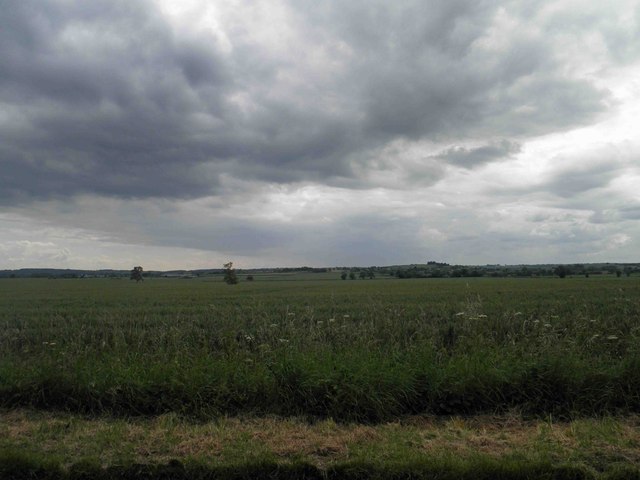
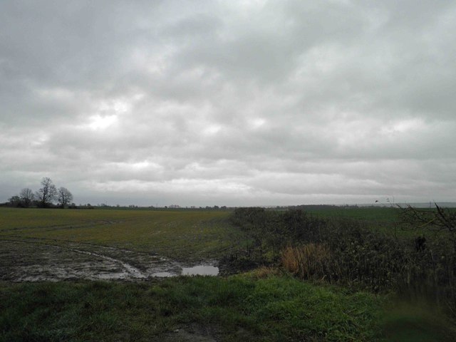
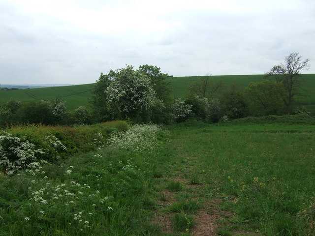
The village of Austrey is known for its picturesque countryside, with rolling hills and farmland surrounding the area. It is a rural community, characterized by its traditional English charm and peaceful atmosphere. The village features a mix of historical and modern architecture, with some buildings dating back several centuries.
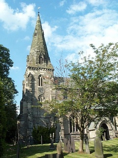
Austrey is home to the St. Nicholas Church, a Grade II listed building that dates back to the 13th century. This medieval church is a prominent landmark in the village and serves as a place of worship for local residents. The village also has a primary school, which provides education for children in the area.
In terms of amenities, Austrey has a village pub, the Bird in Hand, which offers a cozy setting for locals and visitors to enjoy a drink or a meal. The pub often hosts community events and is a popular gathering place for the villagers.
Overall, Austrey offers a tranquil and idyllic setting for those seeking a rural lifestyle. Its close-knit community and beautiful surroundings make it an attractive place to live or visit for those looking to escape the hustle and bustle of city life.
If you have any feedback on the listing, please let us know in the comments section below.
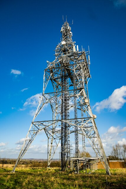
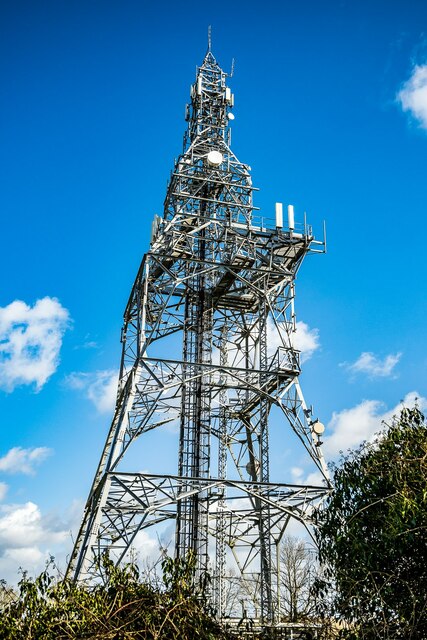
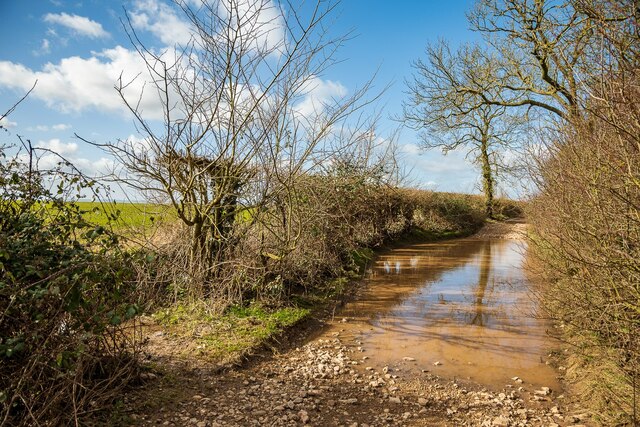
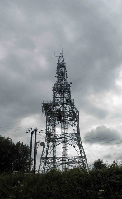
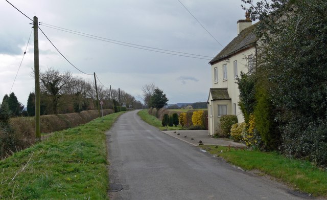
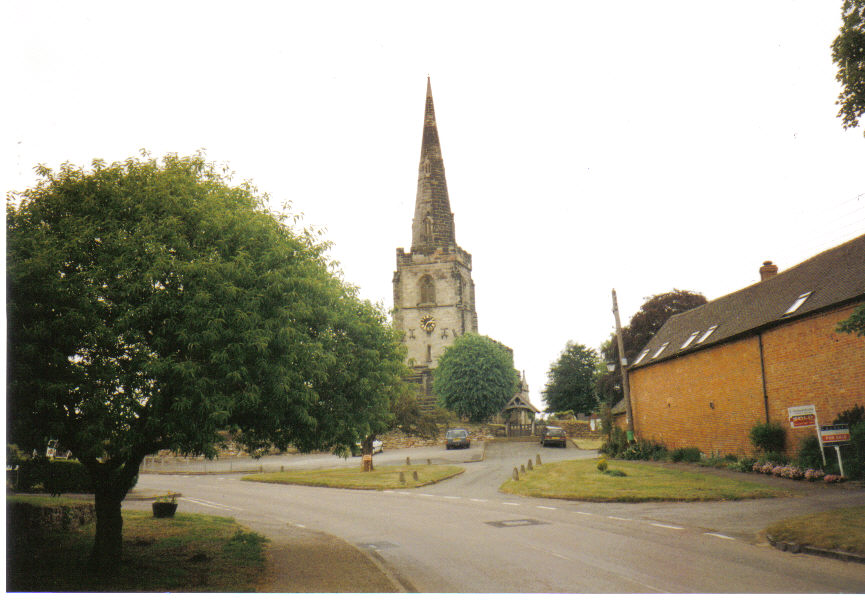
Austrey Images
Images are sourced within 2km of 52.654288/-1.565379 or Grid Reference SK2906. Thanks to Geograph Open Source API. All images are credited.


Austrey is located at Grid Ref: SK2906 (Lat: 52.654288, Lng: -1.565379)
Administrative County: Warwickshire
District: North Warwickshire
Police Authority: Warwickshire
What 3 Words
///overlook.milky.wrist. Near Polesworth, Warwickshire
Related Wikis
Austrey, Warwickshire
Austrey is a village and civil parish in the North Warwickshire District of Warwickshire, England. and the village lies at the northern extremity of the...
Little Orton, Leicestershire
Little Orton is a hamlet in the English county of Leicestershire. Little Orton is part of the civil parish of Twycross (where the population is included...
Newton Regis
Newton Regis is a village and civil parish in the North Warwickshire district of Warwickshire, England. It has a population of 599 at the 2011 Census....

Orton on the Hill
Orton on the Hill is a village and former civil parish, now in the parish of Twycross, in the Hinckley and Bosworth district of Leicestershire, England...
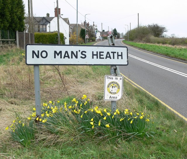
No Man's Heath, Warwickshire
No Man's Heath is an area of the civil parish of Newton Regis, in the North Warwickshire district, in the county of Warwickshire, England, about 6 miles...

Appleby Parva
Appleby Parva, or Little Appleby (Known locally as Over-Town), part of the parish of Appleby Magna in Leicestershire, is a hamlet about 1 mile (1.6 km...
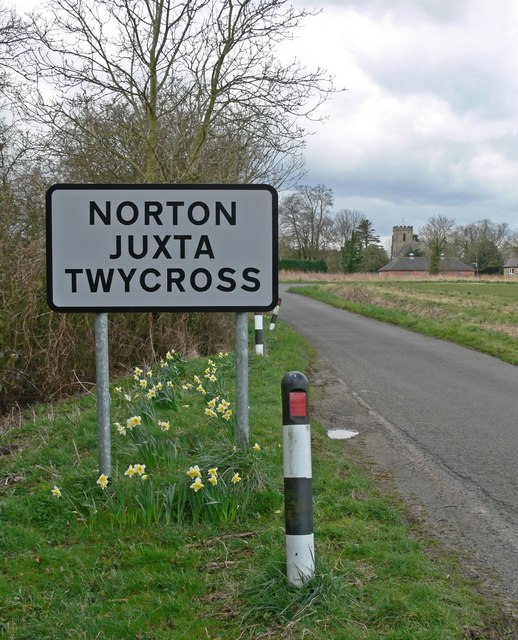
Norton Juxta Twycross
Norton Juxta Twycross, usually known as simply "Norton" (or "Norton-Juxta"), is a village and former civil parish, now in the parish of Twycross, in the...

Warton, Warwickshire
Warton is a village in the North Warwickshire district of Warwickshire, England. It is five miles east of Tamworth and four miles north-west of Atherstone...
Nearby Amenities
Located within 500m of 52.654288,-1.565379Have you been to Austrey?
Leave your review of Austrey below (or comments, questions and feedback).