Austwick

Civil Parish in Yorkshire Craven

England

Austwick

Clapham Bridge
Clapham Bridge Credit: Bob McPartland

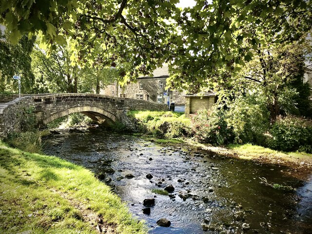
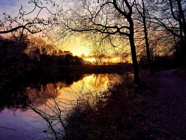
Austwick is a small civil parish located in the Craven district of North Yorkshire, England. Situated in the Yorkshire Dales National Park, Austwick is surrounded by picturesque landscapes and rolling hills, making it a popular destination for tourists and outdoor enthusiasts alike.

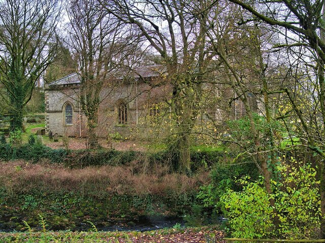
The village itself has a population of around 400 residents and is known for its charming stone-built houses and traditional architecture. The focal point of Austwick is the village green, which is bordered by a number of historic buildings, including the 17th-century Church of the Epiphany and the Austwick Hall, a Grade II listed building.

Austwick offers a range of amenities, including a primary school, a village hall, and a post office. The village also has a pub, the Game Cock Inn, which is a popular spot for locals and visitors to enjoy a drink or a meal.

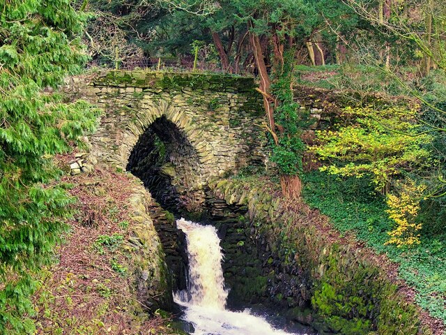
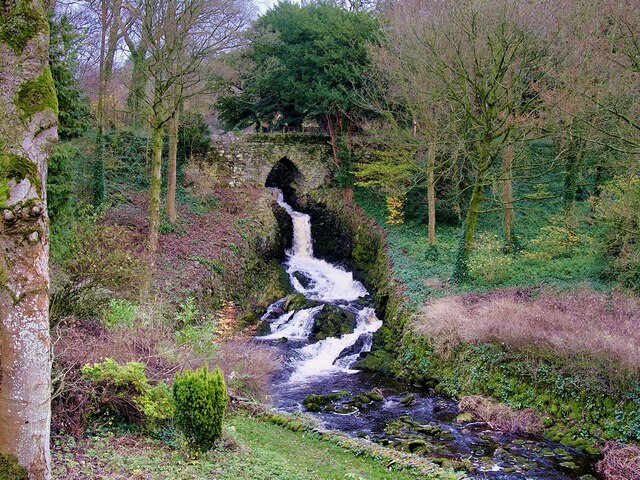
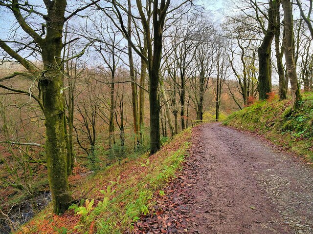
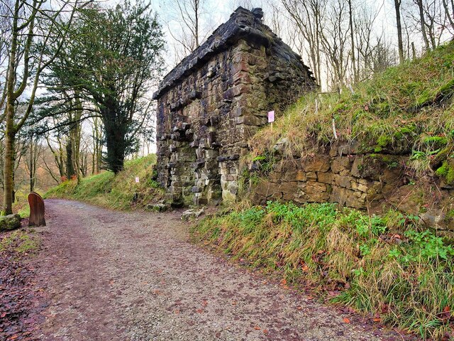
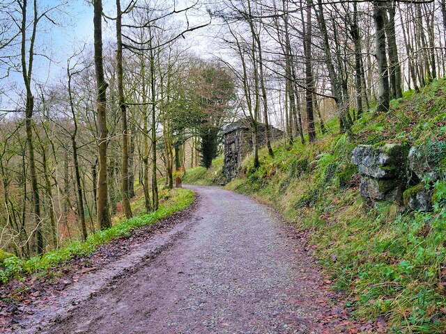
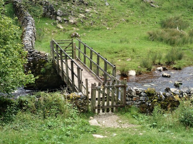
The surrounding area provides ample opportunities for outdoor activities. Austwick is located close to the Yorkshire Dales Three Peaks, comprising the peaks of Pen-y-ghent, Whernside, and Ingleborough, making it a great starting point for hikers looking to tackle the famous challenge. The village is also surrounded by numerous walking and cycling trails, offering stunning views of the countryside.

Overall, Austwick is a quaint and picturesque village in Yorkshire, offering a peaceful and scenic retreat for both residents and visitors.

If you have any feedback on the listing, please let us know in the comments section below.
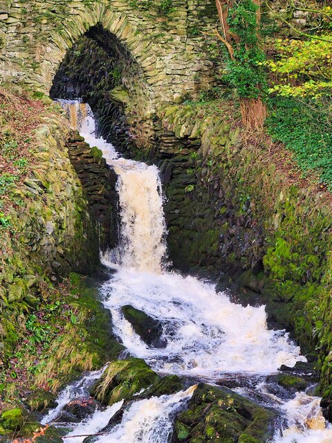
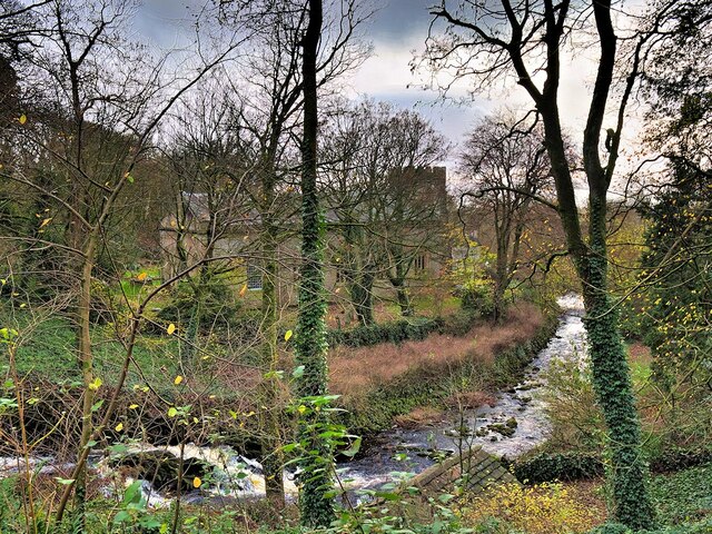
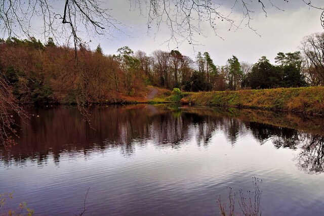
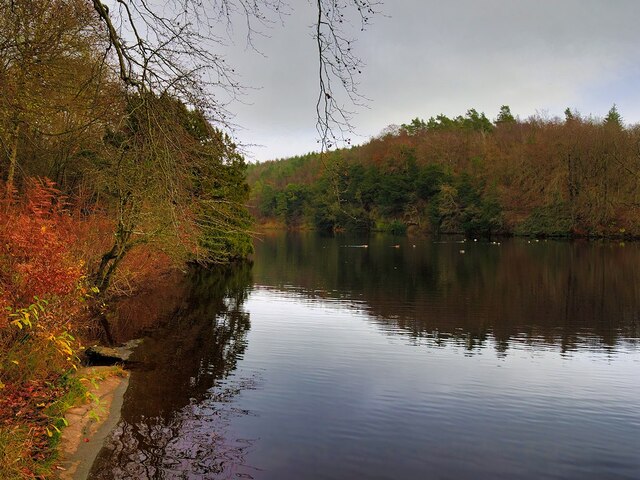
Austwick Images

Images are sourced within 2km of 54.125322/-2.381158 or Grid Reference SD7570. Thanks to Geograph Open Source API. All images are credited.

Clapham Bridge
Clapham Bridge
Bridge over Clapham Beck Waterfall Clapham Falls is a man-made waterfall which sees Clapham Beck drop below a bridge, in  three separate tiers, from the lake above into Clapham itself. The waterfall was constructed in 1837 by Oliver and James William Farrar as part of the remodelling of the estate of Ingleborough Hall.
Bridge over Clapham Beck Waterfall
Clapham Falls is a man-made waterfall which sees Clapham Beck drop below a bridge, in three separate tiers, from the lake above into Clapham itself. The waterfall was constructed in 1837 by Oliver and James William Farrar as part of the remodelling of the estate of Ingleborough Hall.
St James' Church, Clapham Looking across Clapham Beck towards the Church of St James at Clapham. 
The majority of the current church dates from 1814 although the tower has been retained from an earlier, fifteenth century, church. It is a Grade II listed building (List Entry Number: 1132398 <span class="nowrap"><a title="https://historicengland.org.uk/listing/the-list/list-entry/1132398" rel="nofollow ugc noopener" href="https://historicengland.org.uk/listing/the-list/list-entry/1132398">Link</a><img style="margin-left:2px;" alt="External link" title="External link - shift click to open in new window" src="https://s1.geograph.org.uk/img/external.png" width="10" height="10"/></span> Historic England)
St James' Church, Clapham
Looking across Clapham Beck towards the Church of St James at Clapham. The majority of the current church dates from 1814 although the tower has been retained from an earlier, fifteenth century, church. It is a Grade II listed building (List Entry Number: 1132398 LinkExternal link Historic England)
Clapham Falls Clapham Falls is a man-made waterfall which sees Clapham Beck drop below a bridge, in  three separate tiers, from the lake above into Clapham itself. The waterfall was constructed in 1837 by Oliver and James William Farrar as part of the remodelling of the estate of Ingleborough Hall.
Clapham Falls
Clapham Falls is a man-made waterfall which sees Clapham Beck drop below a bridge, in three separate tiers, from the lake above into Clapham itself. The waterfall was constructed in 1837 by Oliver and James William Farrar as part of the remodelling of the estate of Ingleborough Hall.
Clapham Beck Waterfall Clapham Falls is a man-made waterfall which sees Clapham Beck drop below a bridge, in  three separate tiers, from the lake above into Clapham itself. The waterfall was constructed in 1837 by Oliver and James William Farrar as part of the remodelling of the estate of Ingleborough Hall.
Clapham Beck Waterfall
Clapham Falls is a man-made waterfall which sees Clapham Beck drop below a bridge, in three separate tiers, from the lake above into Clapham itself. The waterfall was constructed in 1837 by Oliver and James William Farrar as part of the remodelling of the estate of Ingleborough Hall.
Clapham Beck and the Church of St James Looking across Clapham Beck towards the Church of St James at Clapham. 
The majority of the current church dates from 1814 although the tower has been retained from an earlier, fifteenth century, church. It is a Grade II listed building (List Entry Number: 1132398 <span class="nowrap"><a title="https://historicengland.org.uk/listing/the-list/list-entry/1132398" rel="nofollow ugc noopener" href="https://historicengland.org.uk/listing/the-list/list-entry/1132398">Link</a><img style="margin-left:2px;" alt="External link" title="External link - shift click to open in new window" src="https://s1.geograph.org.uk/img/external.png" width="10" height="10"/></span> Historic England)
Clapham Beck and the Church of St James
Looking across Clapham Beck towards the Church of St James at Clapham. The majority of the current church dates from 1814 although the tower has been retained from an earlier, fifteenth century, church. It is a Grade II listed building (List Entry Number: 1132398 LinkExternal link Historic England)
Clapham Lake Clapham Lake is a man-made ornamental lake in Clapdale, just above the village of Clapham. It is surrounded by woodland and is seen here from Clapdale Drive, a wide track that passes along the western side of the lake on its through Clapdale Wood towards Ingleborough Cave.

Known simply as The Lake, this artificial lake was constructed in the 18th century as part of the remodelling of the Ingleborough estate by the Farrar family who built a dam to hold back the waters of Clapham Beck, which drains via the artificial watercourse of Clapham Falls.
Clapham Lake
Clapham Lake is a man-made ornamental lake in Clapdale, just above the village of Clapham. It is surrounded by woodland and is seen here from Clapdale Drive, a wide track that passes along the western side of the lake on its through Clapdale Wood towards Ingleborough Cave. Known simply as The Lake, this artificial lake was constructed in the 18th century as part of the remodelling of the Ingleborough estate by the Farrar family who built a dam to hold back the waters of Clapham Beck, which drains via the artificial watercourse of Clapham Falls.
Lake at Clapham Known simply as The Lake, this artificial lake, just above the village of Clapham, was constructed in the 18th century as part of the remodelling of the Ingleborough estate by the Farrar family who built a dam to hold back the waters of Clapham Beck, which drains via the artificial watercourse of Clapham Falls.

The ornamental lake is surrounded by woodland and is seen here from Clapdale Drive, a wide track that passes along the western side of the lake on its through Clapdale Wood towards Ingleborough Cave.
Lake at Clapham
Known simply as The Lake, this artificial lake, just above the village of Clapham, was constructed in the 18th century as part of the remodelling of the Ingleborough estate by the Farrar family who built a dam to hold back the waters of Clapham Beck, which drains via the artificial watercourse of Clapham Falls. The ornamental lake is surrounded by woodland and is seen here from Clapdale Drive, a wide track that passes along the western side of the lake on its through Clapdale Wood towards Ingleborough Cave.
Cat Hole Sike The shallow streambed that passes beneath Clapdale Drive is called Cat Hole Syke. ("Syke" or "sike" is a colloquial term for a small stream). The steeply dipping Ordovician rocks, some more than 400 million years old, were pushed to the surface by a major disturbance in the earth's crust which caused massive earth movements tilting them to their present angle. This is part of the Craven Fault System <span class="nowrap"><a title="https://en.wikipedia.org/wiki/Craven_Fault_System" rel="nofollow ugc noopener" href="https://en.wikipedia.org/wiki/Craven_Fault_System">Link</a><img style="margin-left:2px;" alt="External link" title="External link - shift click to open in new window" src="https://s1.geograph.org.uk/img/external.png" width="10" height="10"/></span> .
Cat Hole Sike
The shallow streambed that passes beneath Clapdale Drive is called Cat Hole Syke. ("Syke" or "sike" is a colloquial term for a small stream). The steeply dipping Ordovician rocks, some more than 400 million years old, were pushed to the surface by a major disturbance in the earth's crust which caused massive earth movements tilting them to their present angle. This is part of the Craven Fault System LinkExternal link .
The Lake, Clapham Known simply as The Lake, this artificial lake, just above the village of Clapham, was constructed in the 18th century as part of the remodelling of the Ingleborough estate by the Farrar family who built a dam to hold back the waters of Clapham Beck, which drains via the artificial watercourse of Clapham Falls.

The ornamental lake is surrounded by woodland and is seen here from Clapdale Drive, a wide track that passes along the western side of the lake on its route through Clapdale Wood towards Ingleborough Cave.
The Lake, Clapham
Known simply as The Lake, this artificial lake, just above the village of Clapham, was constructed in the 18th century as part of the remodelling of the Ingleborough estate by the Farrar family who built a dam to hold back the waters of Clapham Beck, which drains via the artificial watercourse of Clapham Falls. The ornamental lake is surrounded by woodland and is seen here from Clapdale Drive, a wide track that passes along the western side of the lake on its route through Clapdale Wood towards Ingleborough Cave.
Fields north of Calter Barn Ingleborough on the horizon
Fields north of Calter Barn
Ingleborough on the horizon
Church Avenue, Clapham Looking northward.
Church Avenue, Clapham
Looking northward.
Station Road, Clapham Looking south-westward.
Station Road, Clapham
Looking south-westward.
Ordnance Survey Cut Mark This Mark can be found on the parapet wall of Clapham Beck Bridge, Clapham.
The recorded details give a height of 155.9601 metres above sea level.
For more detail see : <span class="nowrap"><a title="https://www.bench-marks.org.uk/bm46324" rel="nofollow ugc noopener" href="https://www.bench-marks.org.uk/bm46324">Link</a><img style="margin-left:2px;" alt="External link" title="External link - shift click to open in new window" src="https://s1.geograph.org.uk/img/external.png" width="10" height="10"/></span>
Ordnance Survey Cut Mark
This Mark can be found on the parapet wall of Clapham Beck Bridge, Clapham. The recorded details give a height of 155.9601 metres above sea level. For more detail see : LinkExternal link
Clapdale Drive, Clapdale Wood Clapdale Drive is a wide track that passes along the western side of the lake and above Clapham Beck as it climbs from Clapham village, through Clapdale Wood towards Ingleborough Cave.
Clapdale Drive, Clapdale Wood
Clapdale Drive is a wide track that passes along the western side of the lake and above Clapham Beck as it climbs from Clapham village, through Clapdale Wood towards Ingleborough Cave.
The Grotto, Clapdale Drive The Grotto is a late-nineteenth century folly commissioned by the Farrer family as a place to sit and enjoy the views of Thwaite Scars. It was constructed of large pieces of limestone set back against the steep hillside.

Although it has become rather dilapidated, it is still a useful place to shelter when caught out by the weather.
The Grotto, Clapdale Drive
The Grotto is a late-nineteenth century folly commissioned by the Farrer family as a place to sit and enjoy the views of Thwaite Scars. It was constructed of large pieces of limestone set back against the steep hillside. Although it has become rather dilapidated, it is still a useful place to shelter when caught out by the weather.
Ingleborough Estate Trail, Clapdale Drive Clapdale Drive is a wide track that passes along the western side of the lake and above Clapham Beck as it climbs from Clapham village, through Clapdale Wood towards Ingleborough Cave.
Ingleborough Estate Trail, Clapdale Drive
Clapdale Drive is a wide track that passes along the western side of the lake and above Clapham Beck as it climbs from Clapham village, through Clapdale Wood towards Ingleborough Cave.
Footbridge over Clapham Beck Footbridge looking over from the Ingleborough Nature Trail path. A view of the footbridge from the opposite side of the Beck can be seen here  - <a title="https://www.geograph.org.uk/photo/1813070" href="https://www.geograph.org.uk/photo/1813070">Link</a>
Footbridge over Clapham Beck
Footbridge looking over from the Ingleborough Nature Trail path. A view of the footbridge from the opposite side of the Beck can be seen here - Link
Show me another place!

Austwick is located at Grid Ref: SD7570 (Lat: 54.125322, Lng: -2.381158)

Division: West Riding

Administrative County: North Yorkshire

District: Craven

Police Authority: North Yorkshire

What 3 Words

///ratio.blazed.twins. Near Ingleton, North Yorkshire

Related Wikis

Clapham, North Yorkshire

Clapham is a village in the civil parish of Clapham cum Newby in the Craven district of North Yorkshire, England. It was previously in the West Riding...
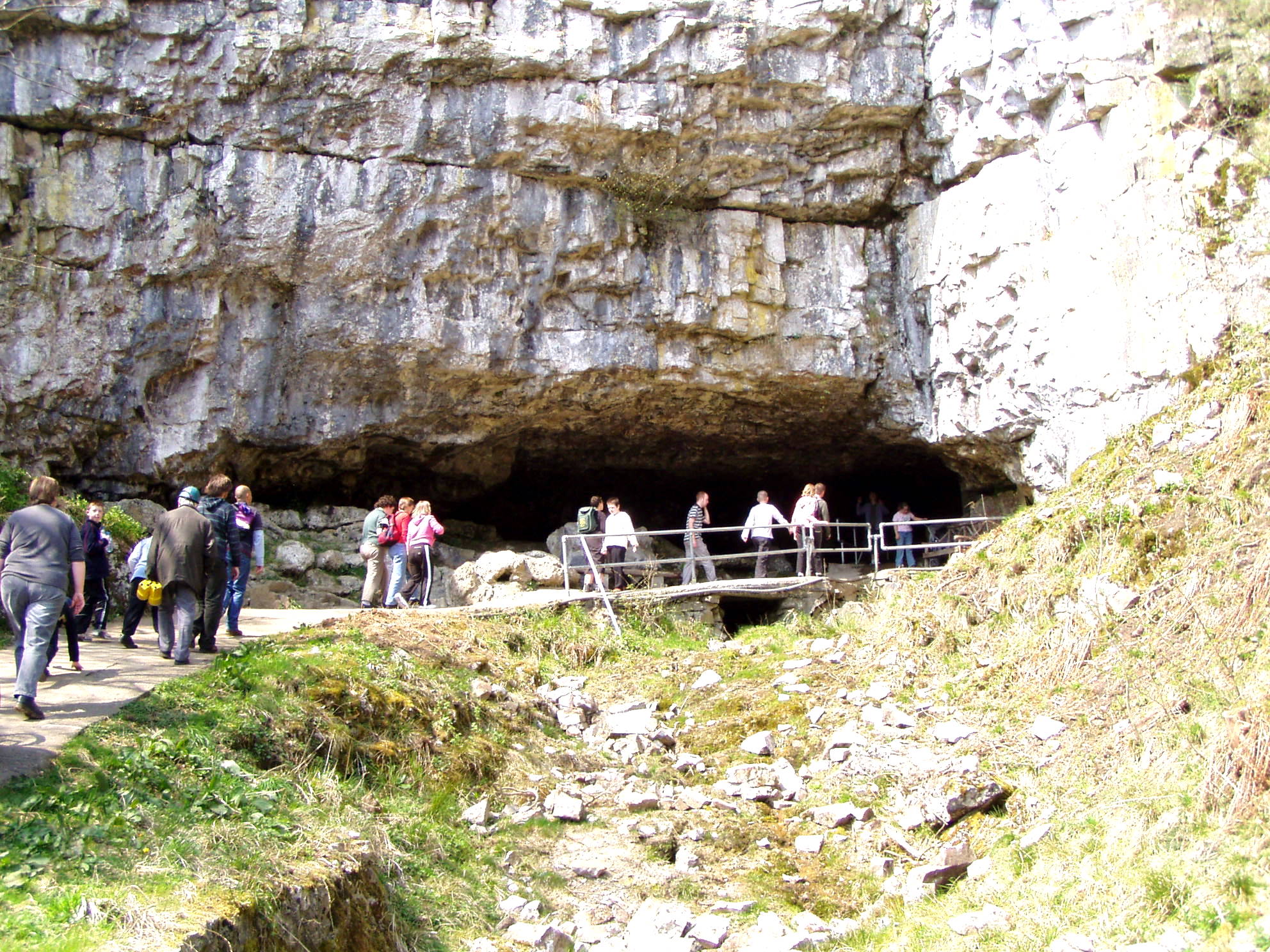
Ingleborough Cave

Ingleborough Cave (formerly known as Clapham Caves) is a show cave close to the village of Clapham in North Yorkshire, England, adjacent to where the water...

Norber erratics

The Norber erratics are one of the finest groups of glacial erratic boulders in Britain. They are found on the southern slopes of Ingleborough, close to...

Clapham cum Newby

Clapham cum Newby is a civil parish in the Craven district of North Yorkshire, England. It was formerly in the Settle Rural District. It contains the villages...
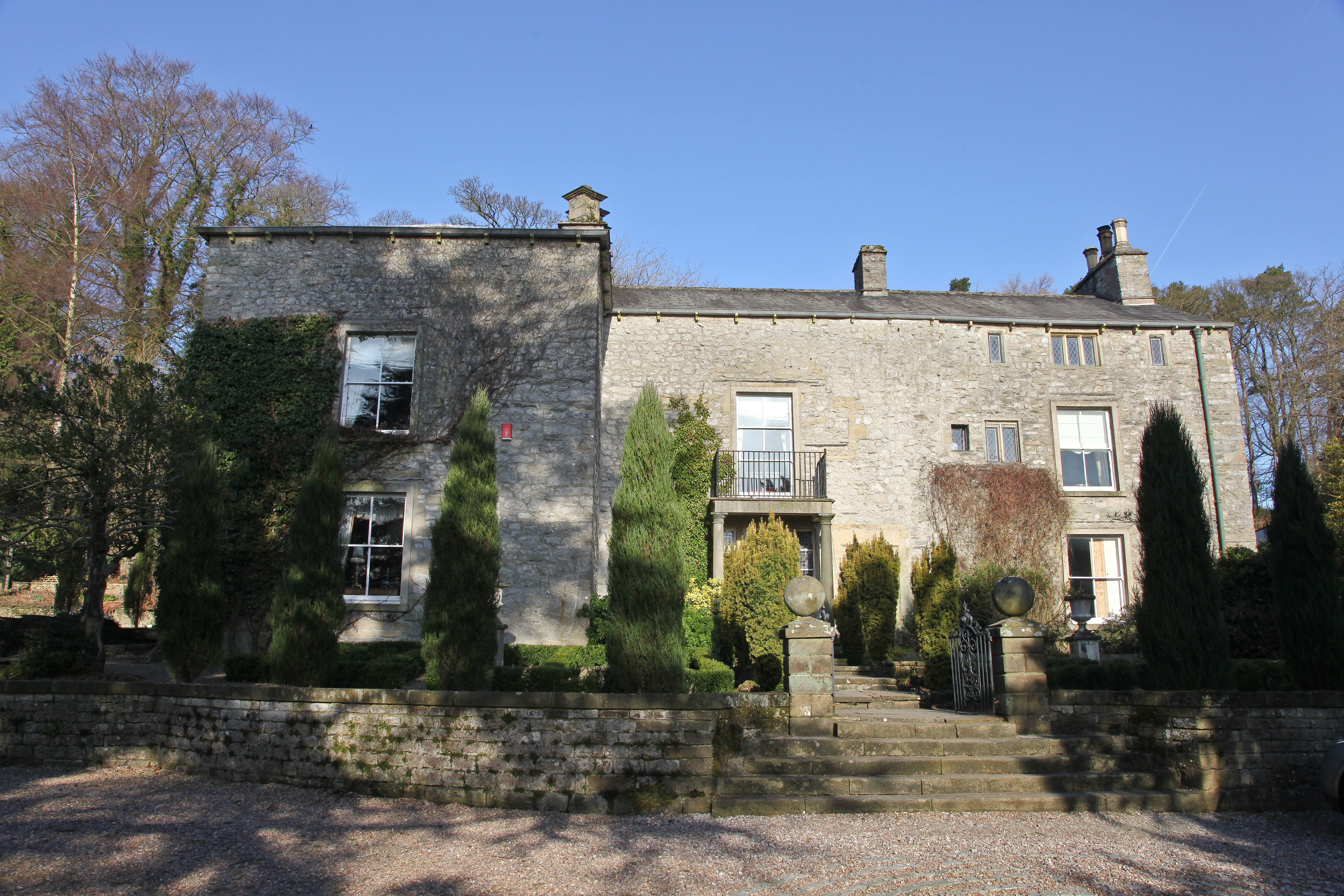
Austwick Hall

Austwick Hall is an historic manor house situated above the village of Austwick in North Yorkshire, England. The house is a Grade II listed building and...

Austwick

Austwick is a village and civil parish in the Craven district of North Yorkshire, England, about 5 miles (8 km) north-west of Settle. The village is on...

Bar Pot

Bar Pot is one of the entrances to the Gaping Gill cave system being located about 340 metres (370 yd) south of Gaping Gill Main Shaft, on Ingleborough...

Flood Entrance Pot

Flood Entrance Pot (sometimes known as Flood Exit Pot) is one of the entrances to the Gaping Gill cave system located about 300 metres (330 yd) south of...

Nearby Amenities

Located within 500m of 54.125322,-2.381158
Ingleborough Nature Trail
Tourism: attraction
Lat/Long: 54.1230254/-2.3845232
The Grotto
Historic: folly
Image: https://www.geograph.org.uk/photo/7353649
Source: survey
Lat/Long: 54.1292119/-2.3818686
Power: pole
Lat/Long: 54.1287817/-2.3848823
Power: pole
Lat/Long: 54.1284185/-2.3851983
Power: pole
Lat/Long: 54.1278825/-2.3857666
Power: pole
Lat/Long: 54.1283197/-2.3860552
Power: pole
Lat/Long: 54.1278633/-2.3871689
The Grotto
Board Type: history
Fixme: Confirm exact location
Information: board
Tourism: information
Lat/Long: 54.1292144/-2.3817627
Woodland
Board Type: history
Information: board
Tourism: information
Lat/Long: 54.1277166/-2.3827069
Geology
Board Type: geology
Information: board
Tourism: information
Lat/Long: 54.1244976/-2.3843792
Rhondodendrons
Board Type: plants
Fixme: Confirm exact location
Information: board
Tourism: information
Lat/Long: 54.1235246/-2.3842478
Nature
Board Type: nature
Information: board
Tourism: information
Lat/Long: 54.1223119/-2.3855875
The data included in this document is from www.openstreetmap.org. The data is made available under ODbL.

Have you been to Austwick?

Leave your review of Austwick below (or comments, questions and feedback).