Austrey
Settlement in Warwickshire North Warwickshire
England
Austrey
Austrey is a small village located in the county of Warwickshire, England. Situated approximately 15 miles northeast of the town of Tamworth, Austrey is nestled in the picturesque countryside of North Warwickshire. The village falls within the local government district of North Warwickshire and is part of the civil parish of Austrey and Newton Regis.
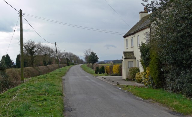
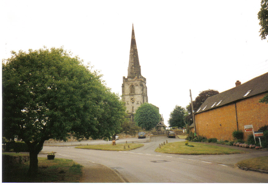
With a population of around 500 residents, Austrey is known for its tranquil and idyllic setting. The village is characterized by its charming thatched cottages and historic buildings, which give it a quintessential English countryside feel. The centerpiece of Austrey is the St. Nicholas Church, a Grade II listed building that dates back to the 12th century. This beautiful church is a prominent feature in the village and attracts visitors with its stunning architecture and rich history.
Austrey offers a range of amenities to its residents, including a village hall, a primary school, and a traditional pub known as The Bird in Hand. The village is surrounded by rolling green fields, making it a popular destination for nature lovers and outdoor enthusiasts. Austrey is also well-connected to neighboring towns and cities, with easy access to major road networks like the A42 and the M42.
Despite its small size, Austrey has a strong sense of community, with various local events and activities taking place throughout the year. The village's annual Austrey Open Gardens event allows visitors to explore the beautifully maintained gardens of local residents, showcasing the pride and dedication of the community.
In summary, Austrey is a charming and peaceful village in Warwickshire, offering a perfect retreat for those seeking a quiet, countryside lifestyle with a strong community spirit.
If you have any feedback on the listing, please let us know in the comments section below.
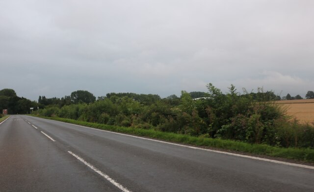
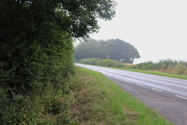
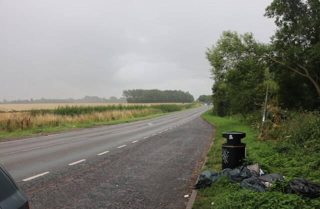
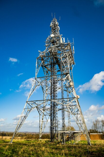
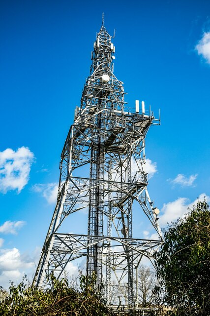
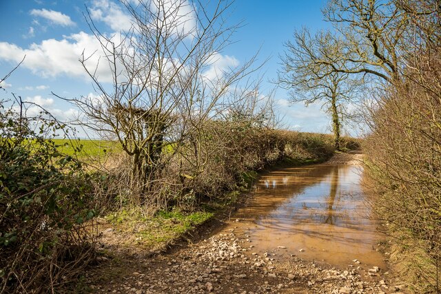
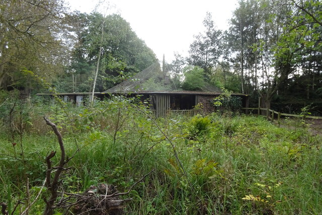
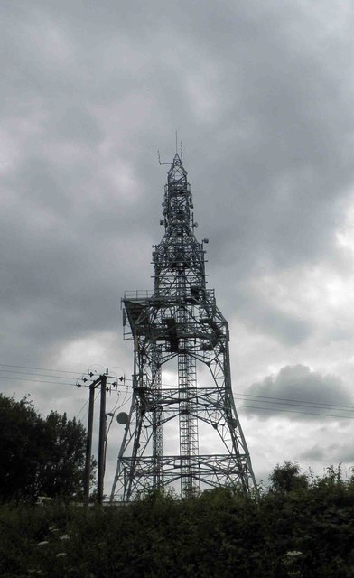
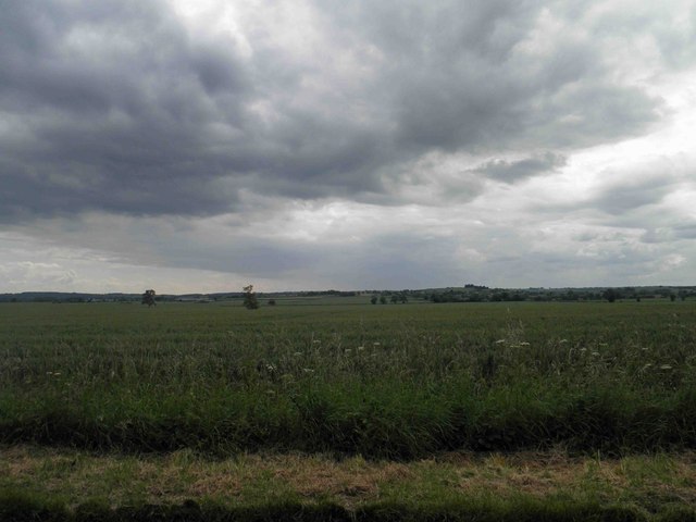
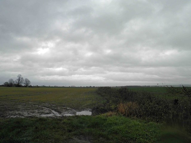
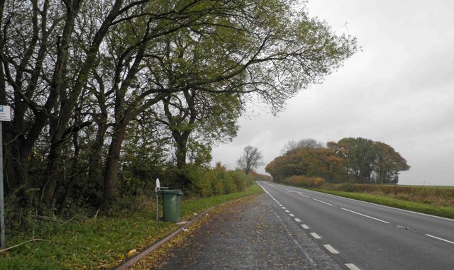
Austrey Images
Images are sourced within 2km of 52.652894/-1.562806 or Grid Reference SK2906. Thanks to Geograph Open Source API. All images are credited.


Austrey is located at Grid Ref: SK2906 (Lat: 52.652894, Lng: -1.562806)
Administrative County: Warwickshire
District: North Warwickshire
Police Authority: Warwickshire
What 3 Words
///intersect.king.dine. Near Polesworth, Warwickshire
Related Wikis

Austrey, Warwickshire
Austrey is a village and civil parish in the North Warwickshire District of Warwickshire, England. and the village lies at the northern extremity of the...
Little Orton, Leicestershire
Little Orton is a hamlet in the English county of Leicestershire. Little Orton is part of the civil parish of Twycross (where the population is included...
Newton Regis
Newton Regis is a village and civil parish in the North Warwickshire district of Warwickshire, England. It has a population of 599 at the 2011 Census....

Orton on the Hill
Orton on the Hill is a village and former civil parish, now in the parish of Twycross, in the Hinckley and Bosworth district of Leicestershire, England...
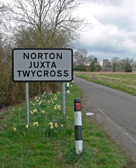
Norton Juxta Twycross
Norton Juxta Twycross, usually known as simply "Norton" (or "Norton-Juxta"), is a village and former civil parish, now in the parish of Twycross, in the...
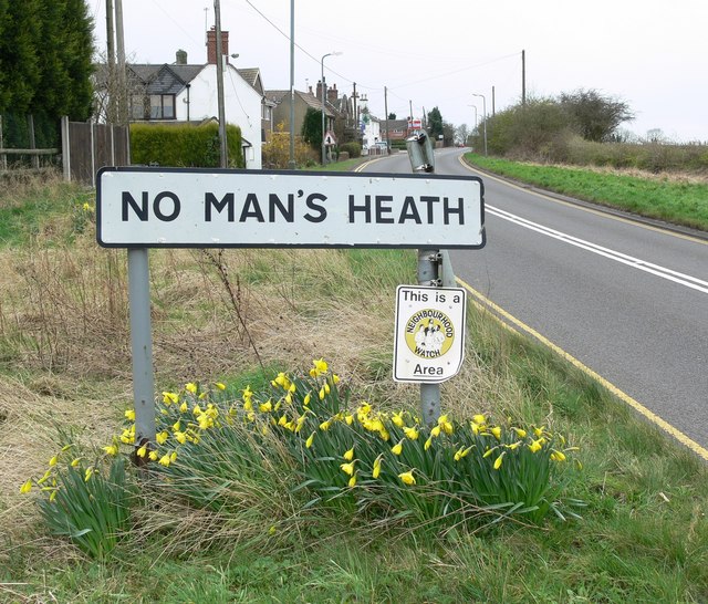
No Man's Heath, Warwickshire
No Man's Heath is an area of the civil parish of Newton Regis, in the North Warwickshire district, in the county of Warwickshire, England, about 6 miles...

Warton, Warwickshire
Warton is a village in the North Warwickshire district of Warwickshire, England. It is five miles east of Tamworth and four miles north-west of Atherstone...

Appleby Parva
Appleby Parva, or Little Appleby (Known locally as Over-Town), part of the parish of Appleby Magna in Leicestershire, is a hamlet about 1 mile (1.6 km...
Nearby Amenities
Located within 500m of 52.652894,-1.562806Have you been to Austrey?
Leave your review of Austrey below (or comments, questions and feedback).