Aswarby and Swarby

Civil Parish in Lincolnshire North Kesteven

England

Aswarby and Swarby

Aswarby: aerial 2021 (1)
Aswarby: aerial 2021 (1) Credit: Chris

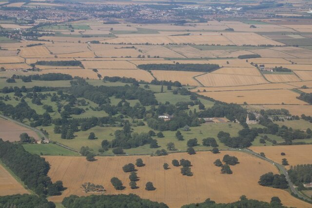
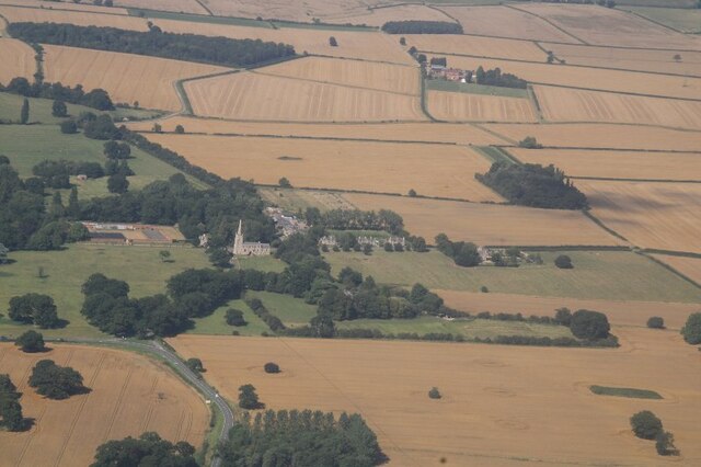
Aswarby and Swarby is a civil parish located in the county of Lincolnshire, England. It is situated approximately 10 miles south of the town of Sleaford and covers an area of around 5 square miles. The civil parish is made up of two settlements, Aswarby and Swarby, which are small and closely connected.

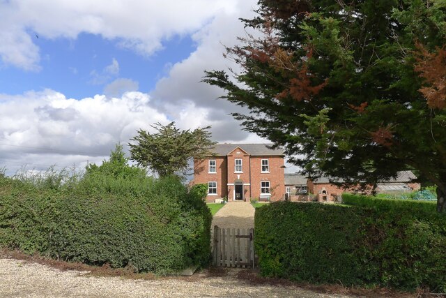
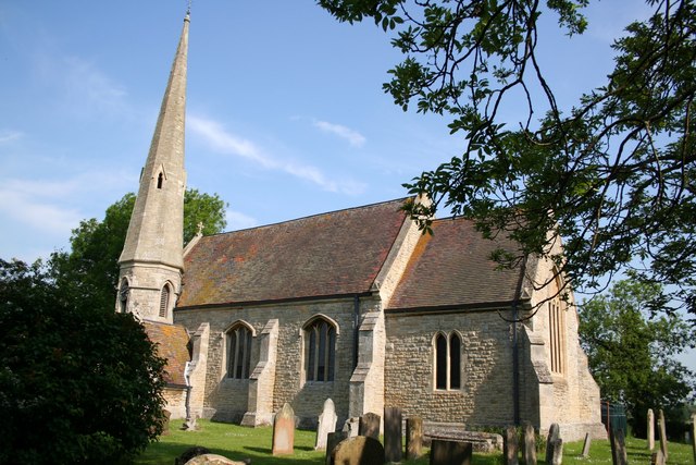
Aswarby is a picturesque village with a population of around 300 residents. It is renowned for its rural charm and beautiful countryside views. The village is home to a historic church, St. Denys, which dates back to the 13th century and is a notable architectural gem in the area. The church's beautiful stained glass windows and intricate stonework attract visitors from near and far.

Swarby, on the other hand, is a hamlet located just north of Aswarby. It is a smaller settlement with a population of around 100 people. Swarby is known for its peaceful and tranquil atmosphere, offering residents and visitors a quiet retreat from the hustle and bustle of urban life.

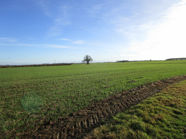
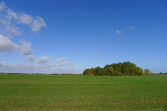
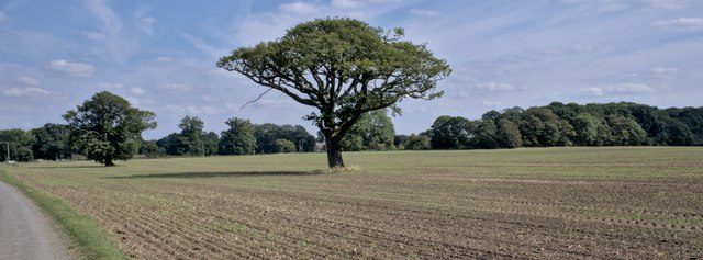
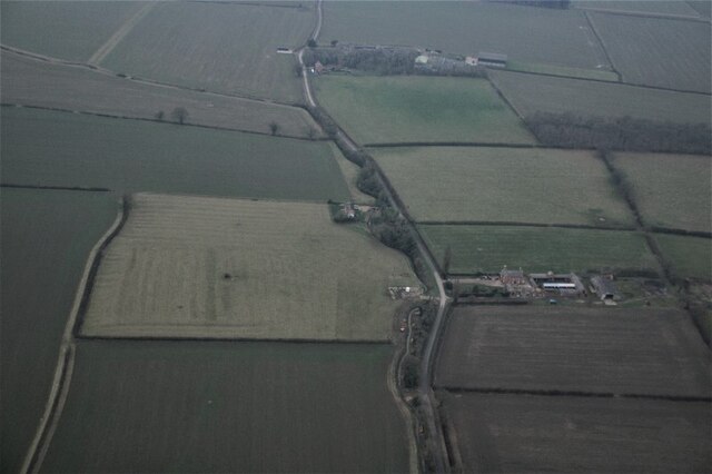
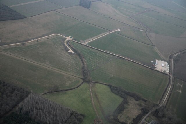
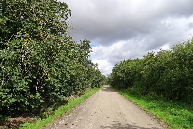
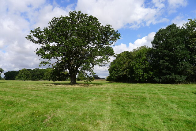
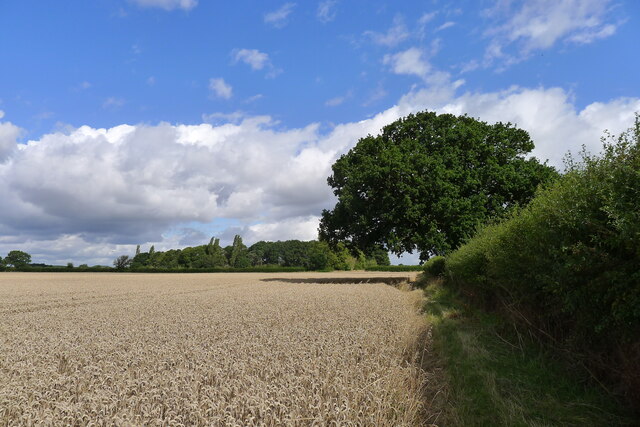
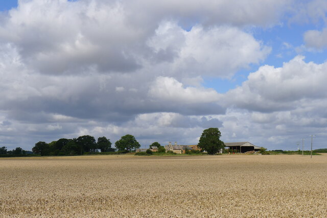
Both Aswarby and Swarby benefit from their rural location, surrounded by rolling farmland and open countryside. The area is popular among nature enthusiasts, offering opportunities for walking, cycling, and exploring the local flora and fauna. The villages also boast a strong sense of community, with various social events and activities organized throughout the year.

In summary, Aswarby and Swarby in Lincolnshire are two charming settlements that offer a peaceful and idyllic countryside experience. With their historic church, stunning landscapes, and close-knit community, they are an attractive destination for those seeking a slower-paced and rural lifestyle.

If you have any feedback on the listing, please let us know in the comments section below.

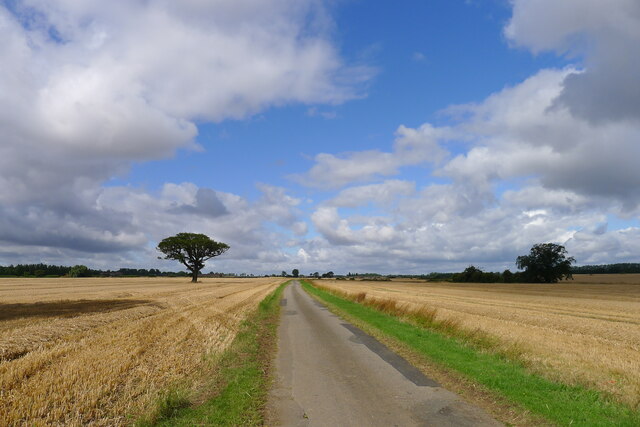
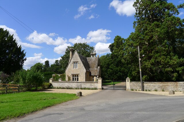
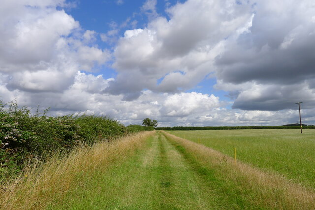
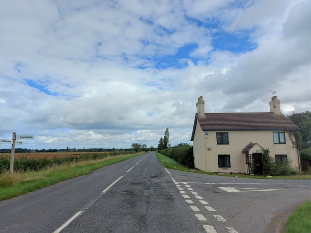
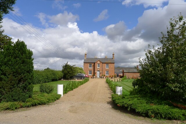
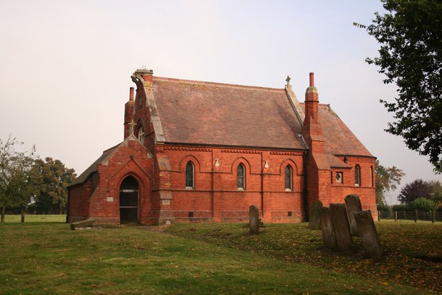
Aswarby and Swarby Images

Images are sourced within 2km of 52.950267/-0.403184 or Grid Reference TF0740. Thanks to Geograph Open Source API. All images are credited.

Aswarby: aerial 2021 (1)
Aswarby: aerial 2021 (2)
Autumn sown crop near Aswarby
Probable site of ancient settlement west of Mareham Lane On the west side of the Roman road, Mareham Lane, <span class="nowrap"><a title="https://heritage-explorer.lincolnshire.gov.uk/Monument/MLI60358" rel="nofollow ugc noopener" href="https://heritage-explorer.lincolnshire.gov.uk/Monument/MLI60358">Link</a><img style="margin-left:2px;" alt="External link" title="External link - shift click to open in new window" src="https://s1.geograph.org.uk/img/external.png" width="10" height="10"/></span> reports  "A large area of complex cropmarks, including enclosures, hut circles and boundary ditches, is visible on aerial photographs. These are likely to represent a late Iron Age and/or Romano-British settlement."
Probable site of ancient settlement west of Mareham Lane
On the west side of the Roman road, Mareham Lane, LinkExternal link reports "A large area of complex cropmarks, including enclosures, hut circles and boundary ditches, is visible on aerial photographs. These are likely to represent a late Iron Age and/or Romano-British settlement."
The road to Aunsby In the Southern Lincolnshire Edge National Character Area <span class="nowrap"><a title="https://publications.naturalengland.org.uk/file/6753160429305856" rel="nofollow ugc noopener" href="https://publications.naturalengland.org.uk/file/6753160429305856">Link</a><img style="margin-left:2px;" alt="External link" title="External link - shift click to open in new window" src="https://s1.geograph.org.uk/img/external.png" width="10" height="10"/></span> . Wide open farming landscape on the dip slope of the Jurassic escarpment
The road to Aunsby
In the Southern Lincolnshire Edge National Character Area LinkExternal link . Wide open farming landscape on the dip slope of the Jurassic escarpment
Church of St Denys, Aswarby Listed Grade I. 12th century, with 14th and 15th century alterations and 19th century restoration.  George Bass, an early explorer of Australia after whom the Bass Straight is named, was born in the village and baptised in the church.
Church of St Denys, Aswarby
Listed Grade I. 12th century, with 14th and 15th century alterations and 19th century restoration. George Bass, an early explorer of Australia after whom the Bass Straight is named, was born in the village and baptised in the church.
South Lodge, Main Street, Aswarby Listed Grade II, mid 19th century. Lodge to the former Aswarby Hall.
South Lodge, Main Street, Aswarby
Listed Grade II, mid 19th century. Lodge to the former Aswarby Hall.
Field track east of Aswarby
Corner Cottage At the corner of Mareham Lane and Gorse Drove (right)
Corner Cottage
At the corner of Mareham Lane and Gorse Drove (right)
Standard trees Two oaks, standing in a wheatfield.  This used to be parkland when I was younger, and these trees sheltered sheep and deer.
Standard trees
Two oaks, standing in a wheatfield. This used to be parkland when I was younger, and these trees sheltered sheep and deer.
Ridge and Furrow on field east of Aswarby: aerial 2022
Wind turbine bases (?) SE of Silk Willoughby: aerial 2022
Restricted byway into the Aswarby Estate
Aswarby Park One of several solitary oaks on a footpath towards Silk Willoughby
Aswarby Park
One of several solitary oaks on a footpath towards Silk Willoughby
Footpath by a field of wheat The footpath goes towards Silk Willoughby
Footpath by a field of wheat
The footpath goes towards Silk Willoughby
Barrow Hill Farm across a field of wheat Home farm of the Aswarby Estate
Barrow Hill Farm across a field of wheat
Home farm of the Aswarby Estate
The Elms Listed grade II. Built in 1848 for the Whichcote family of Aswarby Park <span class="nowrap"><a title="https://historicengland.org.uk/listing/the-list/list-entry/1061785?section=official-list-entry" rel="nofollow ugc noopener" href="https://historicengland.org.uk/listing/the-list/list-entry/1061785?section=official-list-entry">Link</a><img style="margin-left:2px;" alt="External link" title="External link - shift click to open in new window" src="https://s1.geograph.org.uk/img/external.png" width="10" height="10"/></span> . An identical building to <a href="https://www.geograph.org.uk/photo/7555287">TF0840 : Thorns Farm</a>
The Elms
Listed grade II. Built in 1848 for the Whichcote family of Aswarby Park LinkExternal link . An identical building to TF0840 : Thorns Farm
Thorns Farm Listed Grade II. Built in 1852 for the Whichcote family of Aswarby Park <span class="nowrap"><a title="https://historicengland.org.uk/listing/the-list/list-entry/1308506?section=official-list-entry" rel="nofollow ugc noopener" href="https://historicengland.org.uk/listing/the-list/list-entry/1308506?section=official-list-entry">Link</a><img style="margin-left:2px;" alt="External link" title="External link - shift click to open in new window" src="https://s1.geograph.org.uk/img/external.png" width="10" height="10"/></span> . An identical building to <a href="https://www.geograph.org.uk/photo/7555283">TF0740 : The Elms</a>
Thorns Farm
Listed Grade II. Built in 1852 for the Whichcote family of Aswarby Park LinkExternal link . An identical building to TF0740 : The Elms
Show me another place!

Aswarby and Swarby is located at Grid Ref: TF0740 (Lat: 52.950267, Lng: -0.403184)

Administrative County: Lincolnshire

District: North Kesteven

Police Authority: Lincolnshire

What 3 Words

///saturate.gourmet.confirms. Near Sleaford, Lincolnshire

Related Wikis

Aswarby

Aswarby () is a village in the North Kesteven district of Lincolnshire, England. It is 3.5 miles (5.6 km) south of Sleaford and 750 yards (690 m) east...

Aswarby and Swarby

Aswarby and Swarby is a civil parish in the North Kesteven district of Lincolnshire, England. Aswarby (pronounced locally as "as-r-bee") is the ecclesiastical...

Aswarby and Scredington railway station

Aswarby and Scredington railway station was a station close to Scredington, Lincolnshire on the Great Northern Railway Bourne and Sleaford railway. It...

Scredington

Scredington is a village and civil parish in the North Kesteven district of Lincolnshire, England. The population of the civil parish at the 2011 census...

Osbournby

Osbournby (locally pronounced Ozzenby or Ossenby) is a small village and civil parish in the North Kesteven district of Lincolnshire, England. The population...

Swarby

Swarby is a village and former civil parish in the North Kesteven district of Lincolnshire, England, approximately 3 miles (5 km) south-southwest of Sleaford...

Spanby

Spanby is a village and former civil parish in the North Kesteven district of Lincolnshire, England, about 5 miles (8 km) south from the town of Sleaford...

Silk Willoughby

Silk Willoughby is a village and civil parish in the North Kesteven district of Lincolnshire, England. The population of the civil parish at the 2011 census...

Nearby Amenities

Located within 500m of 52.950267,-0.403184
Power: tower
Source: Bing
Lat/Long: 52.9532337/-0.4001753
Power: tower
Source: Bing
Lat/Long: 52.9502926/-0.3990488
Elms Cottages
Place: isolated_dwelling
Source: Bing
Lat/Long: 52.948313/-0.3999049
Hardcrust
Place: locality
Source: Bing
Lat/Long: 52.9499404/-0.4067154
The Elms
Place: isolated_dwelling
Source: Bing
Lat/Long: 52.9482573/-0.4014412
Marker: aerial
Utility: gas
Lat/Long: 52.9474097/-0.4049068
The data included in this document is from www.openstreetmap.org. The data is made available under ODbL.

Have you been to Aswarby and Swarby?

Leave your review of Aswarby and Swarby below (or comments, questions and feedback).