Brickyard Plantation
Wood, Forest in Lincolnshire North Kesteven
England
Brickyard Plantation
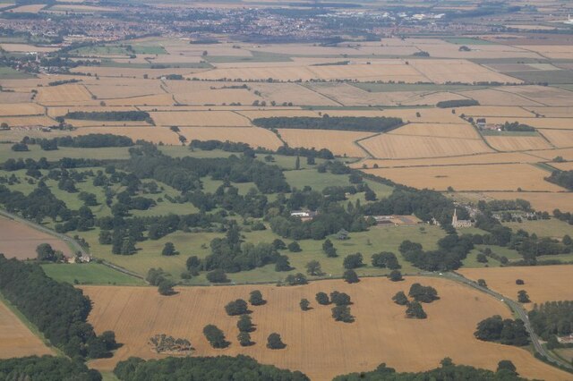
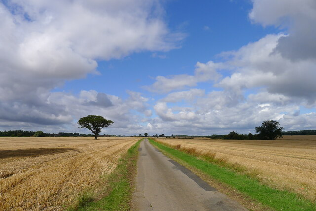
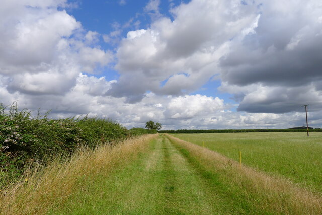
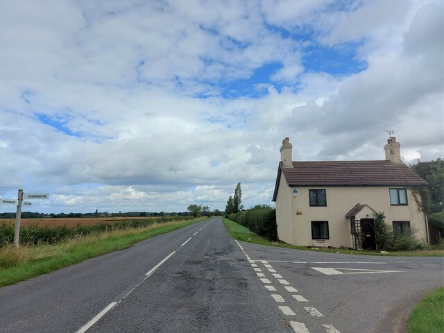
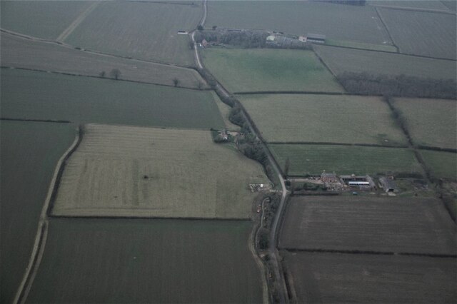
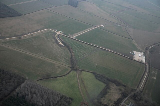
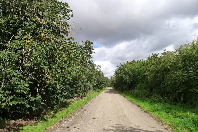
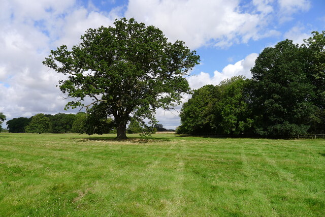
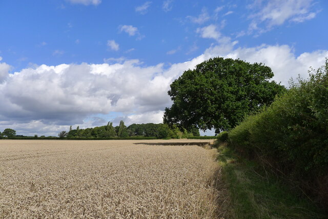
Brickyard Plantation, located in Lincolnshire, is a picturesque woodland area renowned for its dense forest and abundant wildlife. Spread across an area of approximately 200 acres, this enchanting plantation offers a serene escape from the hustle and bustle of city life.
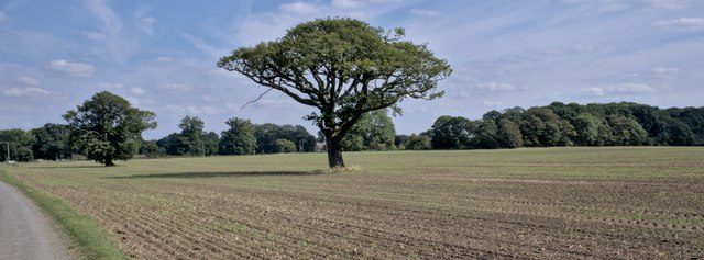
The woodland in Brickyard Plantation is predominantly composed of sturdy oak and majestic beech trees, creating a lush canopy that provides shade and shelter for various plant and animal species. A variety of wildflowers and ferns adorn the forest floor, adding to its natural beauty.
The plantation is home to an array of wildlife, making it an ideal spot for nature lovers and wildlife enthusiasts. Visitors can spot a diverse range of animals, including deer, foxes, rabbits, and a myriad of bird species. Nature walks and birdwatching are popular activities in this woodland, offering a chance to observe and appreciate the beauty of the natural world.
Brickyard Plantation holds historical significance as well, with remnants of an old brickworks scattered throughout the area. These remnants serve as a reminder of the plantation's industrial past, adding an intriguing element to the overall experience.
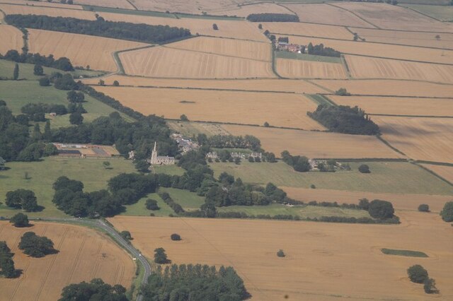
The plantation is open to the public, and there are well-marked trails that allow visitors to explore the woodland at their own pace. It also offers picnic areas and benches, providing a perfect setting for relaxation and enjoying the tranquility of nature.
Overall, Brickyard Plantation in Lincolnshire is a haven for those seeking solace in nature. With its lush forest, diverse wildlife, and historical remnants, it offers a captivating experience for visitors of all ages.
If you have any feedback on the listing, please let us know in the comments section below.
Brickyard Plantation Images
Images are sourced within 2km of 52.948981/-0.40078452 or Grid Reference TF0740. Thanks to Geograph Open Source API. All images are credited.


Brickyard Plantation is located at Grid Ref: TF0740 (Lat: 52.948981, Lng: -0.40078452)
Administrative County: Lincolnshire
District: North Kesteven
Police Authority: Lincolnshire
What 3 Words
///dizziness.mixture.liked. Near Sleaford, Lincolnshire
Nearby Locations
Related Wikis

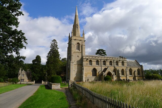
Aswarby
Aswarby () is a village in the civil parish of Aswarby and Swarby, in the North Kesteven district of Lincolnshire, England. It is 3.5 miles (5.6 km) south...

Aswarby and Swarby
Aswarby and Swarby is a civil parish in the North Kesteven district of Lincolnshire, England. Aswarby (pronounced locally as "as-r-bee") is the ecclesiastical...

Aswarby and Scredington railway station
Aswarby and Scredington railway station was a station close to Scredington, Lincolnshire on the Great Northern Railway Bourne and Sleaford railway. It...
Scredington
Scredington is a village and civil parish in the North Kesteven district of Lincolnshire, England. The population of the civil parish at the 2011 census...

Osbournby
Osbournby (locally pronounced Ozzenby or Ossenby) is a small village and civil parish in the North Kesteven district of Lincolnshire, England. The population...
Spanby
Spanby is a village and former civil parish in the North Kesteven district of Lincolnshire, England, about 5 miles (8 km) south from the town of Sleaford...

Swarby
Swarby is a village and former civil parish in the North Kesteven district of Lincolnshire, England, approximately 3 miles (5 km) south-southwest of Sleaford...

Silk Willoughby
Silk Willoughby is a village and civil parish in the North Kesteven district of Lincolnshire, England. The population of the civil parish at the 2011 census...
Nearby Amenities
Located within 500m of 52.948981,-0.40078452Have you been to Brickyard Plantation?
Leave your review of Brickyard Plantation below (or comments, questions and feedback).