Forty Acre Plantation

Wood, Forest in Lincolnshire North Kesteven

England

Forty Acre Plantation

Aswarby: aerial 2021 (1)
Aswarby: aerial 2021 (1) Credit: Chris

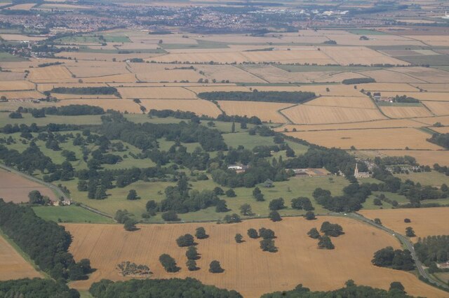
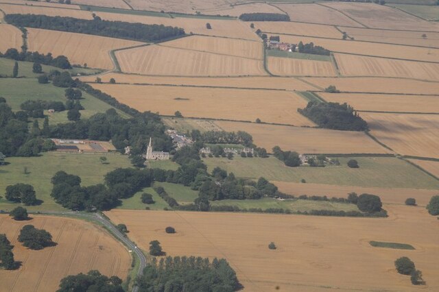
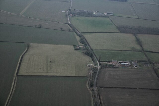
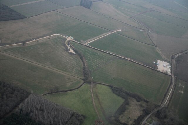
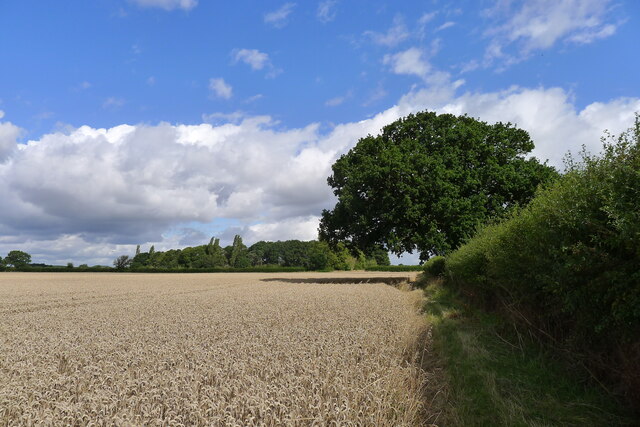
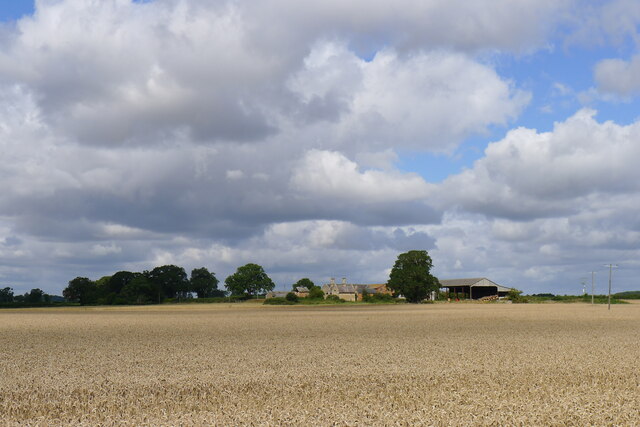
Forty Acre Plantation is a picturesque woodland located in Lincolnshire, England. As the name suggests, the plantation covers an area of approximately forty acres, offering visitors a serene retreat in the heart of nature. The woodland is part of the larger Lincolnshire Woodlands, renowned for its natural beauty and diverse flora and fauna.

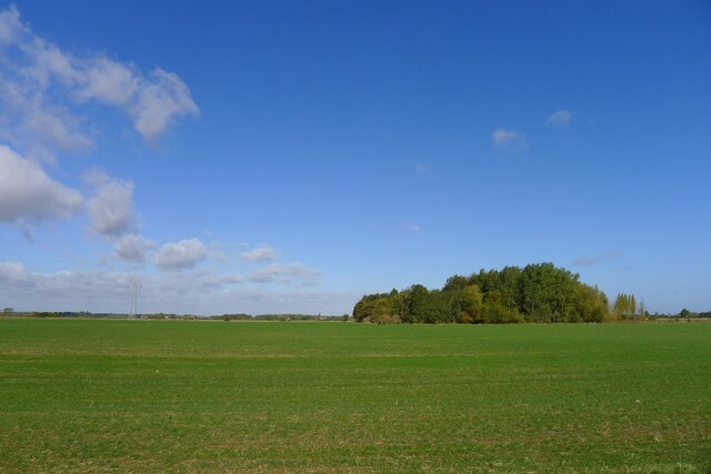
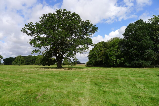
The plantation boasts a mix of native and non-native tree species, creating a vibrant and varied landscape. Towering oak, beech, and birch trees dominate the woodland, providing a dense canopy that filters sunlight and creates a cool and tranquil atmosphere. The forest floor is carpeted with a rich tapestry of ferns, wildflowers, and mosses, adding to the area's natural charm.

Nature enthusiasts will find an array of wildlife in Forty Acre Plantation. Squirrels scurry through the trees, while birdsong fills the air as various species, including robins, blackbirds, and woodpeckers, make their homes within the woodland. Keen-eyed visitors may also spot deer, foxes, and rabbits, adding to the sense of wilderness.

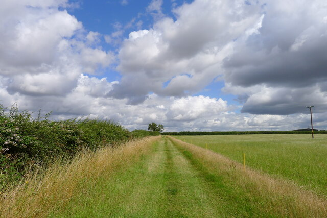
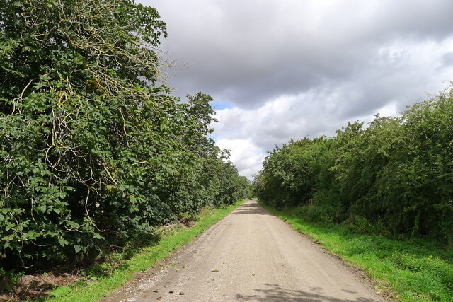
The plantation offers several walking trails, allowing visitors to explore the woodland at their own pace. These well-maintained paths wind through the trees, offering glimpses of hidden clearings and tranquil ponds along the way. The plantation is a popular spot for nature walks, photography, and picnics, providing an ideal setting for families, couples, and individuals seeking a peaceful escape from the hustle and bustle of daily life.

Overall, Forty Acre Plantation is a treasured natural gem in Lincolnshire, offering a sanctuary for both wildlife and humans alike. Its idyllic setting, diverse vegetation, and abundant wildlife make it a must-visit destination for anyone seeking a true connection with nature.

If you have any feedback on the listing, please let us know in the comments section below.

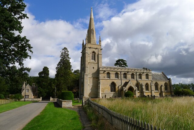
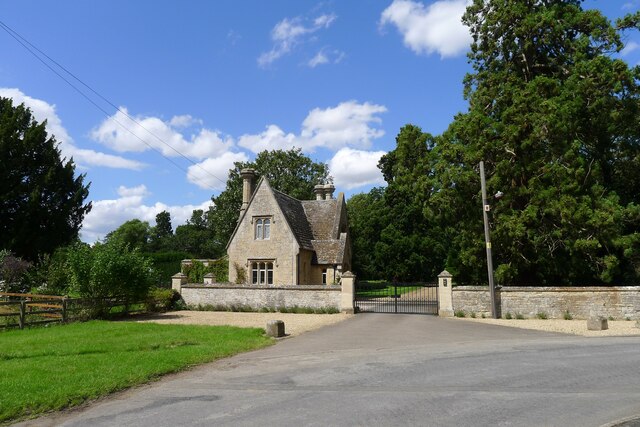
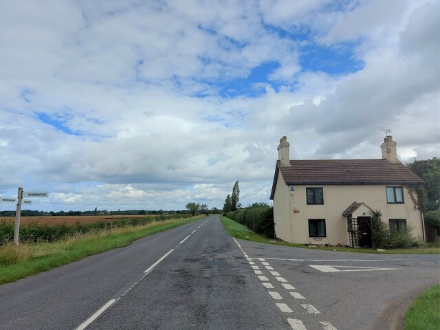
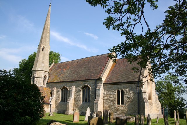
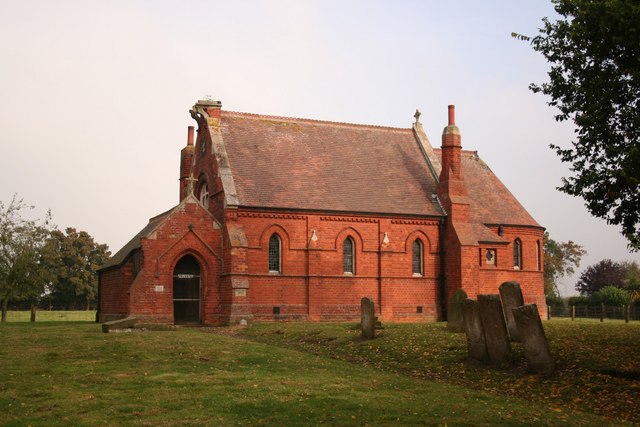
Forty Acre Plantation Images

Images are sourced within 2km of 52.951733/-0.39818226 or Grid Reference TF0740. Thanks to Geograph Open Source API. All images are credited.

Aswarby: aerial 2021 (1)
Aswarby: aerial 2021 (2)
Autumn sown crop near Aswarby
Probable site of ancient settlement west of Mareham Lane On the west side of the Roman road, Mareham Lane, <span class="nowrap"><a title="https://heritage-explorer.lincolnshire.gov.uk/Monument/MLI60358" rel="nofollow ugc noopener" href="https://heritage-explorer.lincolnshire.gov.uk/Monument/MLI60358">Link</a><img style="margin-left:2px;" alt="External link" title="External link - shift click to open in new window" src="https://s1.geograph.org.uk/img/external.png" width="10" height="10"/></span> reports  "A large area of complex cropmarks, including enclosures, hut circles and boundary ditches, is visible on aerial photographs. These are likely to represent a late Iron Age and/or Romano-British settlement."
Probable site of ancient settlement west of Mareham Lane
On the west side of the Roman road, Mareham Lane, LinkExternal link reports "A large area of complex cropmarks, including enclosures, hut circles and boundary ditches, is visible on aerial photographs. These are likely to represent a late Iron Age and/or Romano-British settlement."
Church of St Denys, Aswarby Listed Grade I. 12th century, with 14th and 15th century alterations and 19th century restoration.  George Bass, an early explorer of Australia after whom the Bass Straight is named, was born in the village and baptised in the church.
Church of St Denys, Aswarby
Listed Grade I. 12th century, with 14th and 15th century alterations and 19th century restoration. George Bass, an early explorer of Australia after whom the Bass Straight is named, was born in the village and baptised in the church.
South Lodge, Main Street, Aswarby Listed Grade II, mid 19th century. Lodge to the former Aswarby Hall.
South Lodge, Main Street, Aswarby
Listed Grade II, mid 19th century. Lodge to the former Aswarby Hall.
Field track east of Aswarby
Corner Cottage At the corner of Mareham Lane and Gorse Drove (right)
Corner Cottage
At the corner of Mareham Lane and Gorse Drove (right)
Gate House At the junction of Gorse Drove (ahead) and Poor Garden Road.
The former Bourne and Sleaford Railway line used to run across Gorse Drove just to the right of the house. I presume the house's name referred to a level crossing gate across the road.
Gate House
At the junction of Gorse Drove (ahead) and Poor Garden Road. The former Bourne and Sleaford Railway line used to run across Gorse Drove just to the right of the house. I presume the house's name referred to a level crossing gate across the road.
Hall Close moated site, Scredington: aerial 2022 Moated enclosure now in pasture, the moat mainly drained. Originally the principal moat in a village with five. The others have been excavated and/or destroyed. Surrounding the moat in the remainder of Hall Close are the platforms and enclosures of the original village settlement.

There were several important families in the village during the Middle Ages. The most prominent, the Pylets, occupied Hall Close from the late 12th to the mid 15th century.

The earthworks include the remains of fish ponds and a boundary ditch which would have enclosed the whole manorial complex. 

See: <span class="nowrap"><a title="https://www.heritagegateway.org.uk/Gateway/Results_Single.aspx?uid=MLI60728&resourceID=1006" rel="nofollow ugc noopener" href="https://www.heritagegateway.org.uk/Gateway/Results_Single.aspx?uid=MLI60728&resourceID=1006">Link</a><img style="margin-left:2px;" alt="External link" title="External link - shift click to open in new window" src="https://s1.geograph.org.uk/img/external.png" width="10" height="10"/></span>
Hall Close moated site, Scredington: aerial 2022
Moated enclosure now in pasture, the moat mainly drained. Originally the principal moat in a village with five. The others have been excavated and/or destroyed. Surrounding the moat in the remainder of Hall Close are the platforms and enclosures of the original village settlement. There were several important families in the village during the Middle Ages. The most prominent, the Pylets, occupied Hall Close from the late 12th to the mid 15th century. The earthworks include the remains of fish ponds and a boundary ditch which would have enclosed the whole manorial complex. See: LinkExternal link
Ridge and Furrow on field east of Aswarby: aerial 2022
Wind turbine bases (?) SE of Silk Willoughby: aerial 2022
Restricted byway into the Aswarby Estate
Aswarby Park One of several solitary oaks on a footpath towards Silk Willoughby
Aswarby Park
One of several solitary oaks on a footpath towards Silk Willoughby
Footpath by a field of wheat The footpath goes towards Silk Willoughby
Footpath by a field of wheat
The footpath goes towards Silk Willoughby
Barrow Hill Farm across a field of wheat Home farm of the Aswarby Estate
Barrow Hill Farm across a field of wheat
Home farm of the Aswarby Estate
The Elms Listed grade II. Built in 1848 for the Whichcote family of Aswarby Park <span class="nowrap"><a title="https://historicengland.org.uk/listing/the-list/list-entry/1061785?section=official-list-entry" rel="nofollow ugc noopener" href="https://historicengland.org.uk/listing/the-list/list-entry/1061785?section=official-list-entry">Link</a><img style="margin-left:2px;" alt="External link" title="External link - shift click to open in new window" src="https://s1.geograph.org.uk/img/external.png" width="10" height="10"/></span> . An identical building to <a href="https://www.geograph.org.uk/photo/7555287">TF0840 : Thorns Farm</a>
The Elms
Listed grade II. Built in 1848 for the Whichcote family of Aswarby Park LinkExternal link . An identical building to TF0840 : Thorns Farm
Thorns Farm Listed Grade II. Built in 1852 for the Whichcote family of Aswarby Park <span class="nowrap"><a title="https://historicengland.org.uk/listing/the-list/list-entry/1308506?section=official-list-entry" rel="nofollow ugc noopener" href="https://historicengland.org.uk/listing/the-list/list-entry/1308506?section=official-list-entry">Link</a><img style="margin-left:2px;" alt="External link" title="External link - shift click to open in new window" src="https://s1.geograph.org.uk/img/external.png" width="10" height="10"/></span> . An identical building to <a href="https://www.geograph.org.uk/photo/7555283">TF0740 : The Elms</a>
Thorns Farm
Listed Grade II. Built in 1852 for the Whichcote family of Aswarby Park LinkExternal link . An identical building to TF0740 : The Elms
Show me another place!

Forty Acre Plantation is located at Grid Ref: TF0740 (Lat: 52.951733, Lng: -0.39818226)

Administrative County: Lincolnshire

District: North Kesteven

Police Authority: Lincolnshire

What 3 Words

///clever.notch.working. Near Sleaford, Lincolnshire

Related Wikis

Aswarby and Scredington railway station

Aswarby and Scredington railway station was a station close to Scredington, Lincolnshire on the Great Northern Railway Bourne and Sleaford railway. It...

Aswarby

Aswarby () is a village in the civil parish of Aswarby and Swarby, in the North Kesteven district of Lincolnshire, England. It is 3.5 miles (5.6 km) south...

Aswarby and Swarby

Aswarby and Swarby is a civil parish in the North Kesteven district of Lincolnshire, England. Aswarby (pronounced locally as "as-r-bee") is the ecclesiastical...

Scredington

Scredington is a village and civil parish in the North Kesteven district of Lincolnshire, England. The population of the civil parish at the 2011 census...

Osbournby

Osbournby (locally pronounced Ozzenby or Ossenby) is a small village and civil parish in the North Kesteven district of Lincolnshire, England. The population...

Spanby

Spanby is a village and former civil parish in the North Kesteven district of Lincolnshire, England, about 5 miles (8 km) south from the town of Sleaford...

Swarby

Swarby is a village and former civil parish in the North Kesteven district of Lincolnshire, England, approximately 3 miles (5 km) south-southwest of Sleaford...

Silk Willoughby

Silk Willoughby is a village and civil parish in the North Kesteven district of Lincolnshire, England. The population of the civil parish at the 2011 census...

Nearby Amenities

Located within 500m of 52.951733,-0.39818226
Power: tower
Source: Bing
Lat/Long: 52.9556381/-0.4010873
Power: tower
Source: Bing
Lat/Long: 52.9475516/-0.3971069
Power: tower
Source: Bing
Lat/Long: 52.9532337/-0.4001753
Power: tower
Source: Bing
Lat/Long: 52.9502926/-0.3990488
Thorns Farm
Place: farm
Source: Bing
Lat/Long: 52.9513672/-0.392439
Elms Cottages
Place: isolated_dwelling
Source: Bing
Lat/Long: 52.948313/-0.3999049
The Elms
Place: isolated_dwelling
Source: Bing
Lat/Long: 52.9482573/-0.4014412
The data included in this document is from www.openstreetmap.org. The data is made available under ODbL.

Have you been to Forty Acre Plantation?

Leave your review of Forty Acre Plantation below (or comments, questions and feedback).