Assington

Civil Parish in Suffolk Babergh

England

Assington

A134 Colchester Road, Assington <span class="nowrap"><a title="https://en.wikipedia.org/wiki/Assington" rel="nofollow ugc noopener" href="https://en.wikipedia.org/wiki/Assington">Link</a><img style="margin-left:2px;" alt="External link" title="External link - shift click to open in new window" src="https://s1.geograph.org.uk/img/external.png" width="10" height="10"/></span>
A134 Colchester Road, Assington Credit: Geographer

Assington is a civil parish located in the county of Suffolk, England. Situated approximately 10 miles south-west of the town of Sudbury, the parish covers an area of around 13 square miles. The village of Assington itself is small, with a population of just over 300 residents.

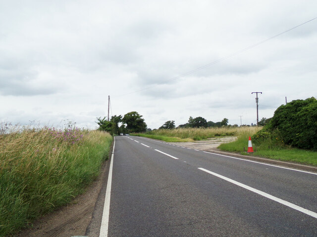
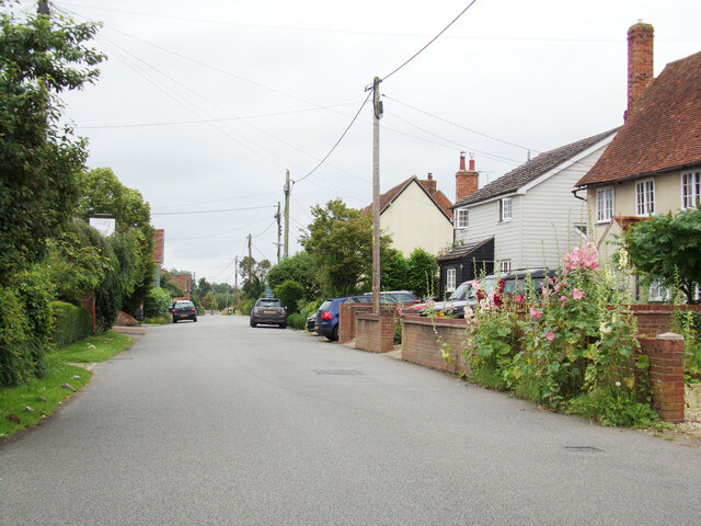
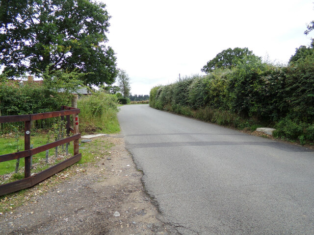
The area is primarily rural, characterized by rolling countryside, picturesque landscapes, and a tranquil atmosphere. The village is surrounded by farmland and fields, which contribute to the agricultural nature of the region. The parish is part of the Dedham Vale Area of Outstanding Natural Beauty, ensuring its protected status and preservation of its natural charm.

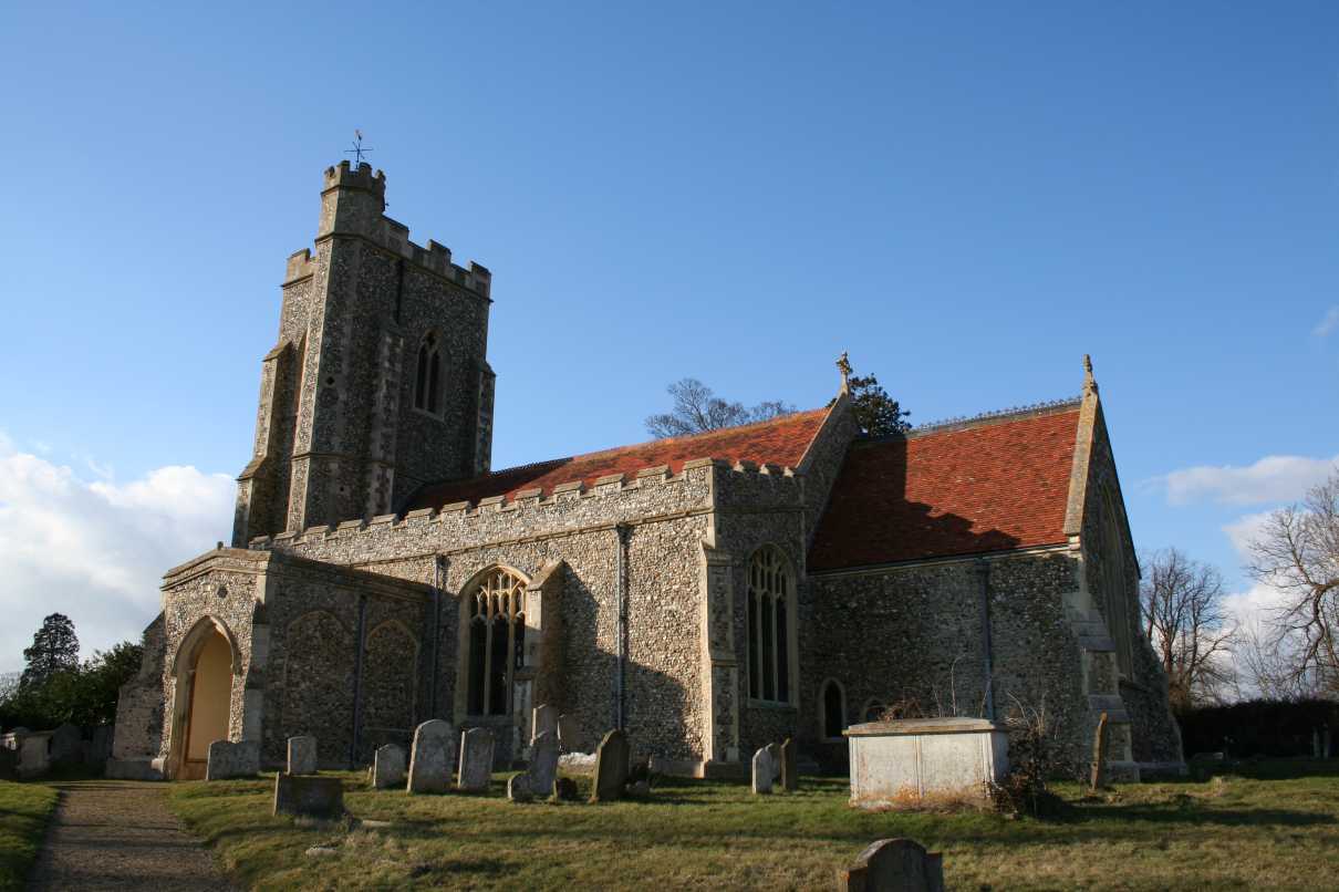
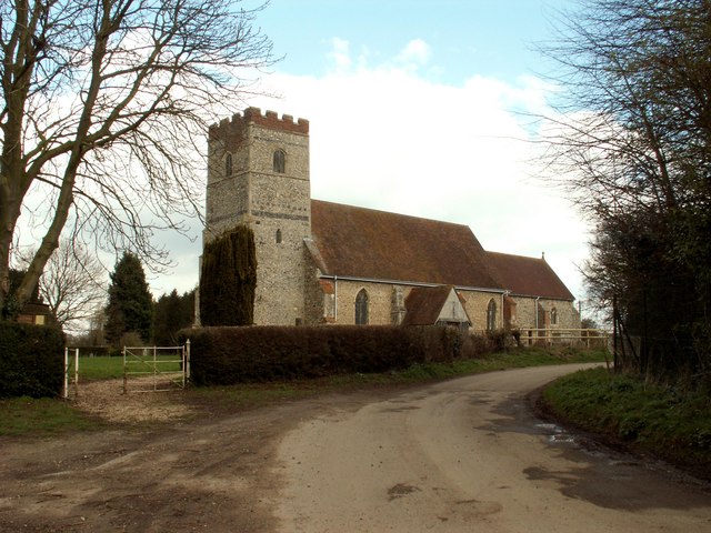
Assington boasts a rich history, with evidence of human habitation dating back to Roman times. The village is famous for its medieval church, St. Edmund's Church, which is a Grade I listed building and a notable landmark in the area. The church features stunning architectural details and has been well-preserved over the centuries.

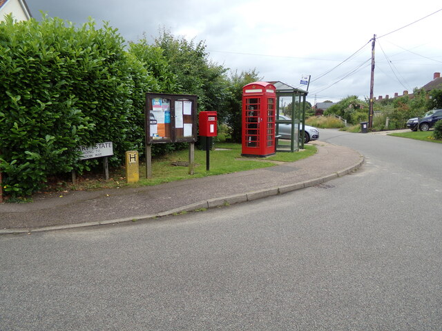
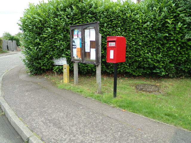
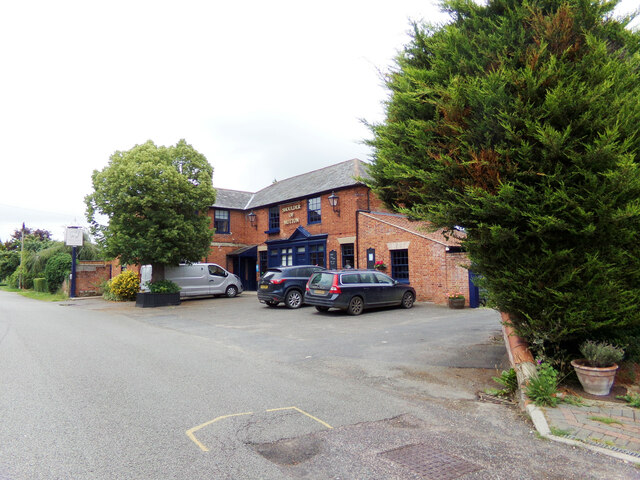
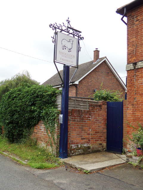
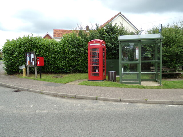
In terms of amenities, Assington offers a range of facilities for its residents. These include a primary school, a village hall, and a pub. The village is well-connected to nearby towns and cities via road links, with the A134 running through the parish and providing easy access to major transportation routes.

Overall, Assington is a charming and idyllic village in the heart of Suffolk. Its beautiful surroundings, rich history, and close-knit community make it an attractive place to live or visit for those seeking a peaceful and rural lifestyle.

If you have any feedback on the listing, please let us know in the comments section below.
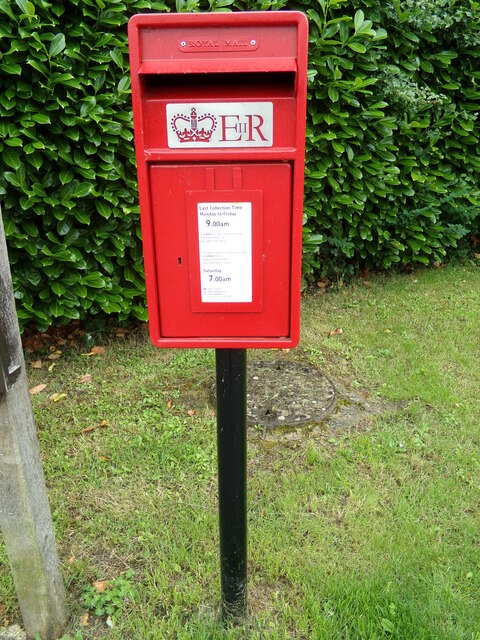
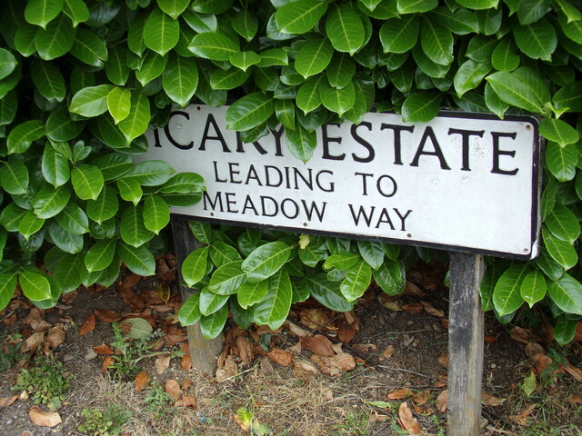
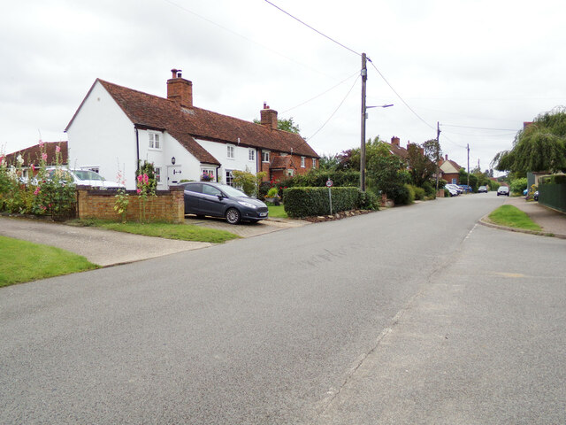
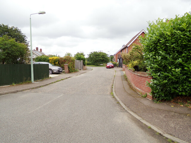
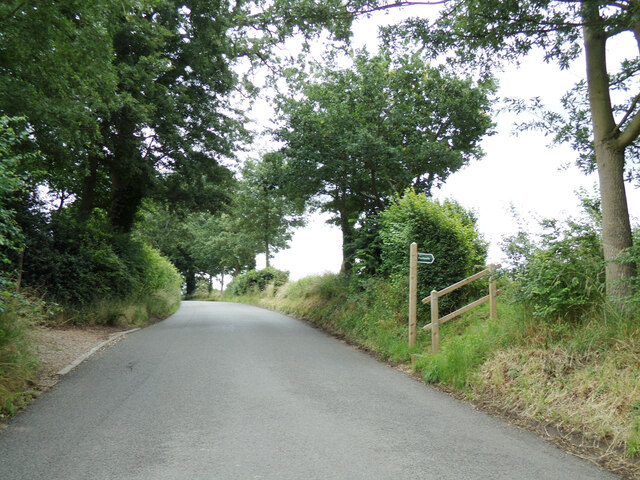
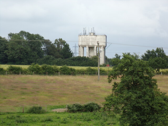
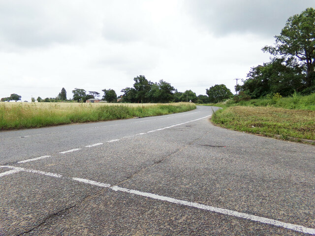
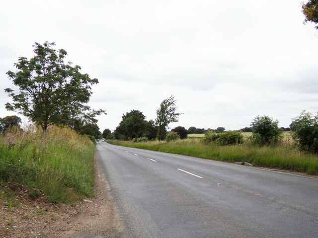
Assington Images

Images are sourced within 2km of 52.007701/0.817232 or Grid Reference TL9338. Thanks to Geograph Open Source API. All images are credited.

A134 Colchester Road, Assington <span class="nowrap"><a title="https://en.wikipedia.org/wiki/Assington" rel="nofollow ugc noopener" href="https://en.wikipedia.org/wiki/Assington">Link</a><img style="margin-left:2px;" alt="External link" title="External link - shift click to open in new window" src="https://s1.geograph.org.uk/img/external.png" width="10" height="10"/></span>
A134 Colchester Road, Assington
The Street, Assington Near Shoulder of Mutton Public House
Road No.C733
<span class="nowrap"><a title="https://www.facebook.com/shoulderofmuttonassington/" rel="nofollow ugc noopener" href="https://www.facebook.com/shoulderofmuttonassington/">Link</a><img style="margin-left:2px;" alt="External link" title="External link - shift click to open in new window" src="https://s1.geograph.org.uk/img/external.png" width="10" height="10"/></span>
The Street, Assington
Near Shoulder of Mutton Public House Road No.C733 LinkExternal link
Notice Board Vicary Estate Postbox & Telephone Box On Vicary Estate at the junction with The Street
Postbox No.CO10 396D
Notice Board Vicary Estate Postbox & Telephone Box
On Vicary Estate at the junction with The Street Postbox No.CO10 396D
Notice Board Vicary Estate Postbox On Vicary Estate at the junction with The Street
Postbox No.CO10 396D
Notice Board Vicary Estate Postbox
On Vicary Estate at the junction with The Street Postbox No.CO10 396D
Vicary Estate Postbox On Vicary Estate at the junction with The Street
Postbox No.CO10 396D
Vicary Estate Postbox
On Vicary Estate at the junction with The Street Postbox No.CO10 396D
Vicary Estate sign On Vicary Estate at the junction with The Street
Road No.U8609
Vicary Estate sign
On Vicary Estate at the junction with The Street Road No.U8609
The Street, Assington At the junction with Vicary Estate 
Road No.C733
The Street, Assington
At the junction with Vicary Estate Road No.C733
Vicary Estate, Assington At the junction with The Street
Road No.U8609
Vicary Estate, Assington
At the junction with The Street Road No.U8609
Shoulder of Mutton Public House, Assington Off The Street
Road No.C733
<span class="nowrap"><a title="https://www.facebook.com/shoulderofmuttonassington/" rel="nofollow ugc noopener" href="https://www.facebook.com/shoulderofmuttonassington/">Link</a><img style="margin-left:2px;" alt="External link" title="External link - shift click to open in new window" src="https://s1.geograph.org.uk/img/external.png" width="10" height="10"/></span>
Shoulder of Mutton Public House, Assington
Off The Street Road No.C733 LinkExternal link
Shoulder of Mutton Public House sign Off The Street
<span class="nowrap"><a title="https://www.facebook.com/shoulderofmuttonassington/" rel="nofollow ugc noopener" href="https://www.facebook.com/shoulderofmuttonassington/">Link</a><img style="margin-left:2px;" alt="External link" title="External link - shift click to open in new window" src="https://s1.geograph.org.uk/img/external.png" width="10" height="10"/></span>
Shoulder of Mutton Public House sign
Off The Street LinkExternal link
Hill Farm Chase, Assington At the junction with The Street
Hill Farm Chase, Assington
At the junction with The Street
Hill Farm Chase sign On Hill Farm Chase at the junction with The Street
Hill Farm Chase sign
On Hill Farm Chase at the junction with The Street
The Street, Assington At the junction with Hill Farm Chase
Road No.C733
The Street, Assington
At the junction with Hill Farm Chase Road No.C733
The Street & footpath At the entrance of St Edmund King & Martyr Church
Road No.C733
The Street & footpath
At the entrance of St Edmund King & Martyr Church Road No.C733
Assington Water Tower Taken from Hill Farm Chase off The Street
Assington Water Tower
Taken from Hill Farm Chase off The Street
A134 Colchester Road, Assington At the junction with the A134 Further Street & The Street
A134 Colchester Road, Assington
At the junction with the A134 Further Street & The Street
A134 Further Street, Assington <span class="nowrap"><a title="https://en.wikipedia.org/wiki/Assington" rel="nofollow ugc noopener" href="https://en.wikipedia.org/wiki/Assington">Link</a><img style="margin-left:2px;" alt="External link" title="External link - shift click to open in new window" src="https://s1.geograph.org.uk/img/external.png" width="10" height="10"/></span>
A134 Further Street, Assington
Bus Shelter, Notice Board Vicary Estate Postbox & Telephone Box On Vicary Estate at the junction with The Street
Postbox No.CO10 396D
Bus Shelter, Notice Board Vicary Estate Postbox & Telephone Box
On Vicary Estate at the junction with The Street Postbox No.CO10 396D
Show me another place!

Assington is located at Grid Ref: TL9338 (Lat: 52.007701, Lng: 0.817232)

Administrative County: Suffolk

District: Babergh

Police Authority: Suffolk

What 3 Words

///become.arrived.chucked. Near Bures St Mary, Suffolk

Related Wikis

Assington

Assington is a village in Suffolk, England, 4 miles (6.4 km) south-east of Sudbury. At the 2011 Census it had a population of 402, estimated at 445 in...

Hagmore Green

Hagmore Green is a hamlet in the civil parish of Boxford, in the Babergh district, in the county of Suffolk, England. The nearest village is Boxford, the...

Sudbury transmitting station

The Sudbury transmitting station is a facility for telecommunications and broadcasting transmission at Sudbury, England. It consists of two guyed masts...
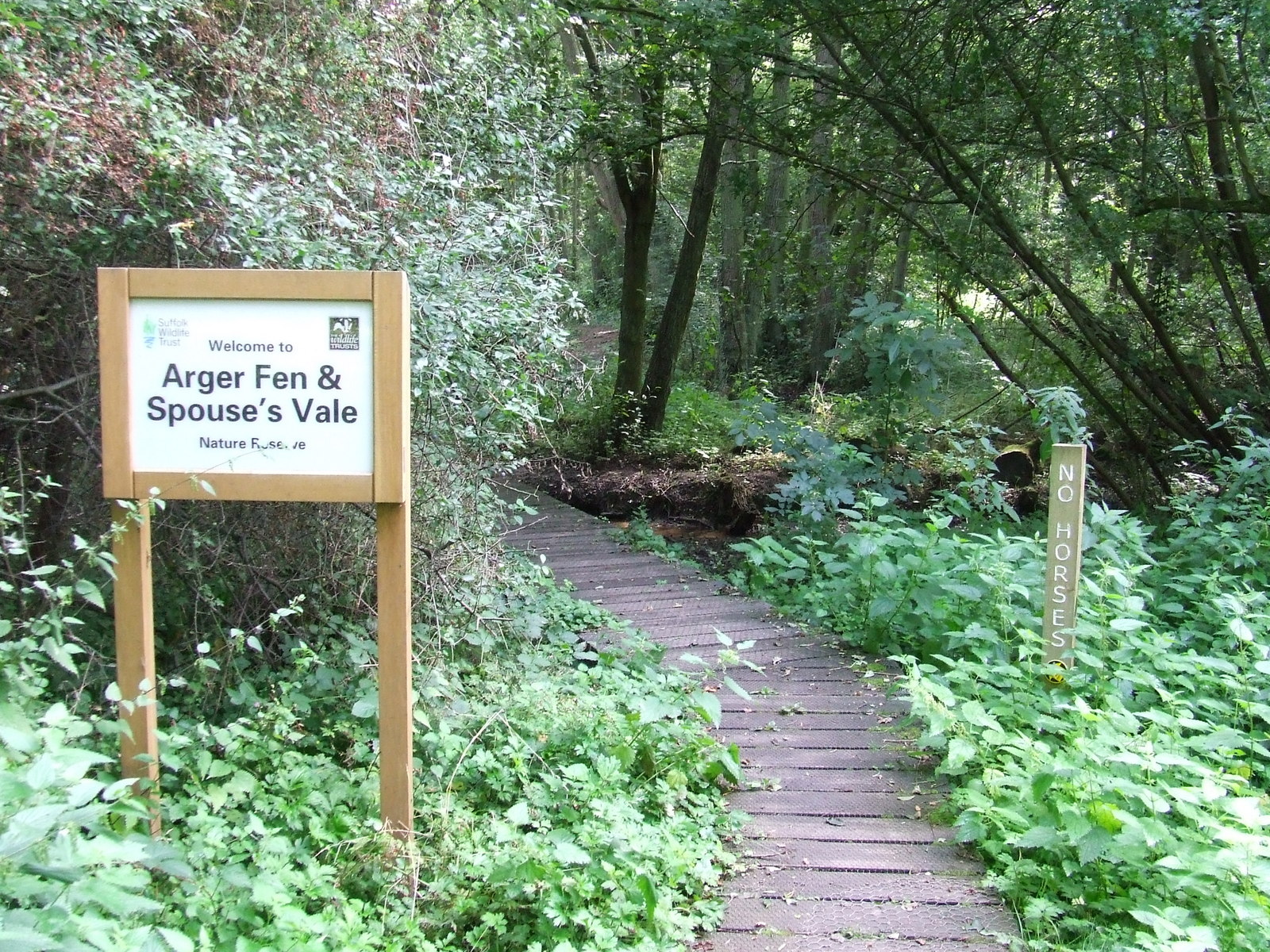
Arger Fen

Arger Fen is a 49.7-hectare (123-acre) biological Site of Special Scientific Interest (SSSI) south-east of Sudbury in Suffolk, England. The site occupies...

Leavenheath

Leavenheath is a village and civil parish in Suffolk, England, close to the Essex border. Located on the A134 between Sudbury and Colchester, it is part...

Tiger Hill, Suffolk

Tiger Hill is a 21 hectare Local Nature Reserve between Bures St Mary and Leavenheath in Suffolk. It is owned by [a group of landowners and declared under...

Newton, Suffolk

Newton, also known as Newton Green to distinguish it from Nowton near Bury St Edmunds, and Old Newton near Stowmarket, is a small village and civil parish...

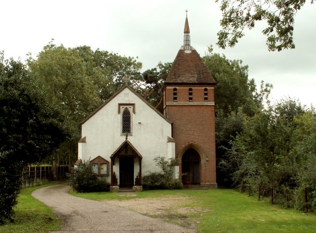
All Saints Church, Newton Green

All Saints Church is a partly redundant Anglican church in the village of Newton Green, Suffolk, England. It is recorded in the National Heritage List...

Nearby Amenities

Located within 500m of 52.007701,0.817232
Assington
Description: Currently (April 2021) closed, but expected to reopen.
Place: village
Source: NPE
Wikidata: Q742027
Lat/Long: 52.0087937/0.8179966
Post Office
Naptan AtcoCode: 390010245
Naptan Bearing: S
Naptan BusStopType: CUS
Naptan CommonName: Post Office
Naptan Indicator: o/s
Naptan Landmark: Post Office
Naptan NaptanCode: sufadpwt
Naptan Street: Assington Street
Naptan Verified: no
Source: naptan_import
Lat/Long: 52.0039268/0.8159245
Post Office
Naptan AtcoCode: 390010246
Naptan Bearing: N
Naptan BusStopType: CUS
Naptan CommonName: Post Office
Naptan Indicator: opp
Naptan Landmark: Post Office
Naptan NaptanCode: sufadtad
Naptan Street: Assington Street
Naptan Verified: no
Source: naptan_import
Lat/Long: 52.0039205/0.8158665
Shoulder Of Mutton
Local Ref: NR
Naptan AtcoCode: 390010732
Naptan Bearing: S
Naptan BusStopType: CUS
Naptan CommonName: Shoulder Of Mutton
Naptan Indicator: nr
Naptan Landmark: Shoulder Of Mutton
Naptan NaptanCode: sufjdmtd
Naptan Street: Assington Street
Naptan Verified: no
Public Transport: platform
Source: naptan_import
Lat/Long: 52.0075816/0.8166162
Bus Stop
Shoulder Of Mutton
Naptan AtcoCode: 390010733
Naptan Bearing: N
Naptan CommonName: Shoulder Of Mutton
Naptan Indicator: opp
Naptan Landmark: Shoulder Of Mutton
Naptan NaptanCode: sufjdmtg
Naptan Street: Assington Street
Naptan Verified: no
Public Transport: platform
Source: naptan_import
Lat/Long: 52.0075767/0.816441
Pub
Shoulder of Mutton
Addr City: Sudbury
Addr Postcode: CO10 5LJ
Addr Street: The Street
Addr Village: Assington
Description: Currently closed, though there are hopes it may reopen.
Fhrs Id: 909601
Source Addr: FHRS Open Data
Wikidata: Q26288382
Lat/Long: 52.0080335/0.8168459
Assington Farm Shop
Addr City: Sudbury
Addr Housename: Assington Barns
Addr Postcode: CO10 5LW
Addr Street: The Street
Addr Village: Assington
Fhrs Id: 526956
Shop: convenience
Source Addr: FHRS Open Data
Lat/Long: 52.0040814/0.8161522
Telephone
Booth: K6
Covered: booth
Listed Status: Grade II
Phone: +44 1787 210211
Lat/Long: 52.0075355/0.8166878
Post Box
Operator: Royal Mail
Operator Wikidata: Q638098
Post Box Type: lamp
Royal Cypher: EIIR
Royal Cypher Wikidata: Q33102113
Lat/Long: 52.0075763/0.8167209
Advertising: board
Lat/Long: 52.0075944/0.816745
Restaurant
Lat/Long: 52.003848/0.8165437
Shop: antiques
Lat/Long: 52.0040299/0.8165386
Defibrillator
Defibrillator Location: on front wall of pub
Emergency: defibrillator
Ref GB The Circuit: 2DFB9F4A-5B66-42FB-BD49-B084008A305B
Lat/Long: 52.0084551/0.8168379
The data included in this document is from www.openstreetmap.org. The data is made available under ODbL.

Have you been to Assington?

Leave your review of Assington below (or comments, questions and feedback).