Oatetch Grove

Wood, Forest in Suffolk Babergh

England

Oatetch Grove

'Shoulder Of Mutton' inn at Assington, Suffolk
'Shoulder Of Mutton' inn at Assington, Suffolk Credit: Robert Edwards

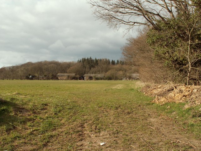
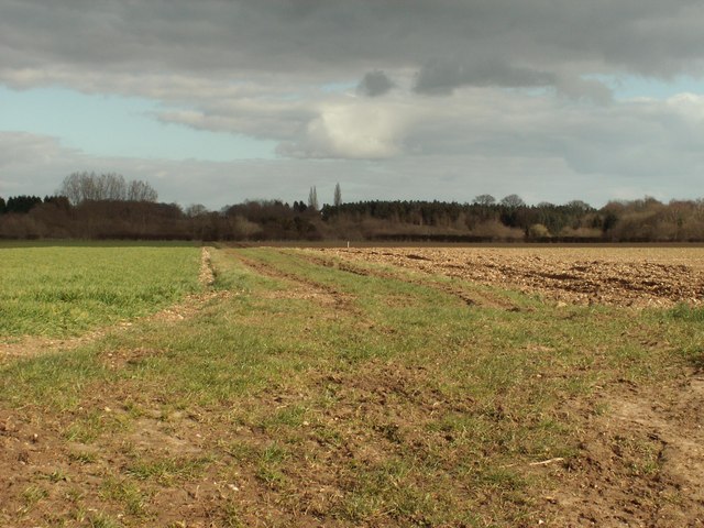
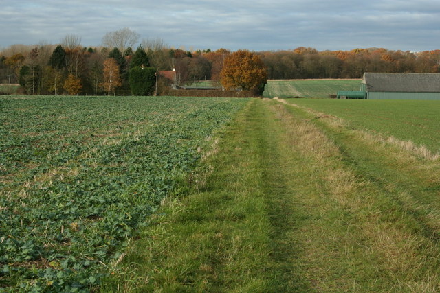
Oatetch Grove is a picturesque woodland located in Suffolk, England. Nestled in the heart of the county, this enchanting forest covers an area of approximately 200 acres, making it a significant natural landmark. The grove is situated near the village of Oatetch, which is known for its tranquil surroundings and idyllic countryside.

The woodland is characterized by its dense canopy of oak trees, which provide a rich habitat for various wildlife species. The forest floor is adorned with a diverse array of flora, including bluebells, ferns, and wild garlic, creating a stunning display of colors during the spring and summer seasons.

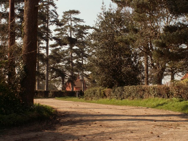
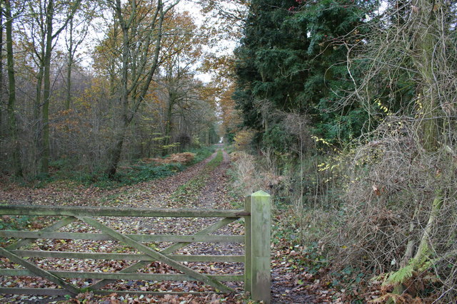
Oatetch Grove offers visitors a peaceful and serene environment, perfect for nature lovers and outdoor enthusiasts. It boasts a network of well-maintained trails, allowing visitors to explore the woodland and discover its hidden gems. The trails are suitable for all abilities, making it accessible to families with young children or individuals with limited mobility.

The grove is also home to a variety of wildlife species, such as deer, rabbits, and a wide range of bird species. Birdwatchers will be delighted by the opportunity to spot rare and migratory birds within the woodland's boundaries.

In addition to its natural beauty, Oatetch Grove also provides recreational facilities, including picnic areas and designated camping spots. These amenities attract visitors from near and far, who come to enjoy the tranquility and escape the hustle and bustle of city life.

Overall, Oatetch Grove is a true gem in Suffolk's countryside, offering visitors a chance to immerse themselves in nature's beauty and experience the peacefulness of an ancient woodland.

If you have any feedback on the listing, please let us know in the comments section below.

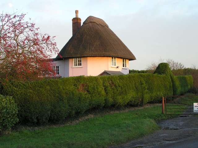
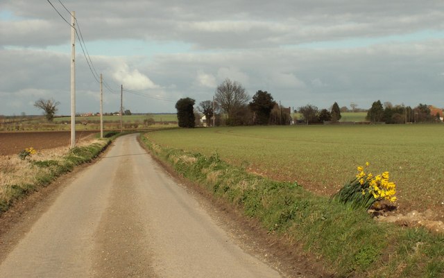
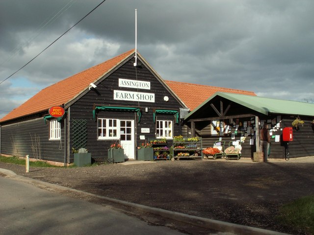
Oatetch Grove Images

Images are sourced within 2km of 52.007676/0.82241784 or Grid Reference TL9338. Thanks to Geograph Open Source API. All images are credited.

'Shoulder Of Mutton' inn at Assington, Suffolk
St. Edmund's church, Assington, Suffolk This lovely church stands to the north of the village in a pleasant setting. It's mainly from the perpendicular period though the chancel was rebuilt in 1830 and tower in 1863.
St. Edmund's church, Assington, Suffolk
This lovely church stands to the north of the village in a pleasant setting. It's mainly from the perpendicular period though the chancel was rebuilt in 1830 and tower in 1863.
Leavenheath Village Hall A busy meeting point for a growing South Suffolk village.
Leavenheath Village Hall
A busy meeting point for a growing South Suffolk village.
Assington Church St Edmund's Church.
Assington Church
St Edmund's Church.
'Hare And Hounds' inn, Leavenheath, Suffolk This inn stands alongside the busy A134 road.
'Hare And Hounds' inn, Leavenheath, Suffolk
This inn stands alongside the busy A134 road.
Lodge near Braes Farm On older maps this is shown as Willow Farm.
Lodge near Braes Farm
On older maps this is shown as Willow Farm.
Dyers Lane This is the view from Park Farm.
Dyers Lane
This is the view from Park Farm.
Assington Farm Shop This shop stands directly opposite Willow Tree Farm.
Assington Farm Shop
This shop stands directly opposite Willow Tree Farm.
A view of Hick's Farm
Footpath between fields This lies just south of Assington.
Footpath between fields
This lies just south of Assington.
Cottages along Marshalls Green
Water Tower, viewed from the A.134
A view of Avely Hall, northeast of Assington
Road to Firs Farm The farmhouse can just be seen through the trees.
Road to Firs Farm
The farmhouse can just be seen through the trees.
Footpath to Severals Farm A pleasant and well trodden public footpath which joins a bridleway at the farm in the middle distance.
Footpath to Severals Farm
A pleasant and well trodden public footpath which joins a bridleway at the farm in the middle distance.
Assington Thicks Public footpath through private woodland, amusingly named Assington Thicks. I'm sure there's no connection with the local residents, indeed the thought never crossed my mind.
Assington Thicks
Public footpath through private woodland, amusingly named Assington Thicks. I'm sure there's no connection with the local residents, indeed the thought never crossed my mind.
Trig Point, Severals Farm, Assington Trig point with bracket No. S1938. This trig point is shown on the boundary between two grid squares, even on a large scale plan. Referring to an Ordnance Survey database, its last computed coordinates place it just 125mm inside TL9238.
Trig Point, Severals Farm, Assington
Trig point with bracket No. S1938. This trig point is shown on the boundary between two grid squares, even on a large scale plan. Referring to an Ordnance Survey database, its last computed coordinates place it just 125mm inside TL9238.
St. Matthew; the parish church of Leavenheath This church was built in 1835 and designed by G. Russell French.
St. Matthew; the parish church of Leavenheath
This church was built in 1835 and designed by G. Russell French.
Show me another place!

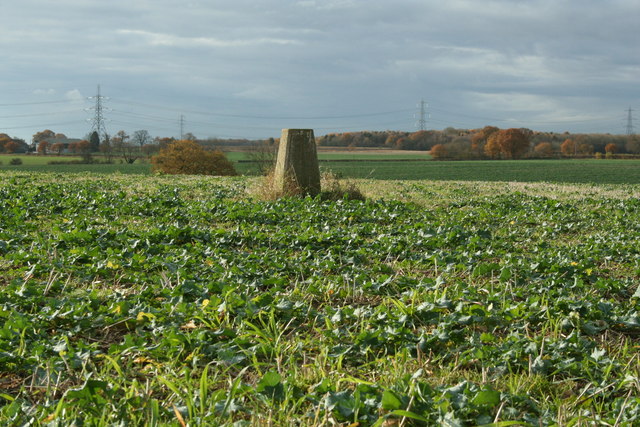
Oatetch Grove is located at Grid Ref: TL9338 (Lat: 52.007676, Lng: 0.82241784)

Administrative County: Suffolk

District: Babergh

Police Authority: Suffolk

What 3 Words

///snapper.boards.aside. Near Bures St Mary, Suffolk

Related Wikis

Assington

Assington is a village in Suffolk, England, 4 miles (6.4 km) south-east of Sudbury. At the 2011 Census it had a population of 402, estimated at 445 in...

Hagmore Green

Hagmore Green is a hamlet in the civil parish of Boxford, in the Babergh district, in the county of Suffolk, England. The nearest village is Boxford, the...

Leavenheath

Leavenheath is a village and civil parish in Suffolk, England, close to the Essex border. Located on the A134 between Sudbury and Colchester, it is part...
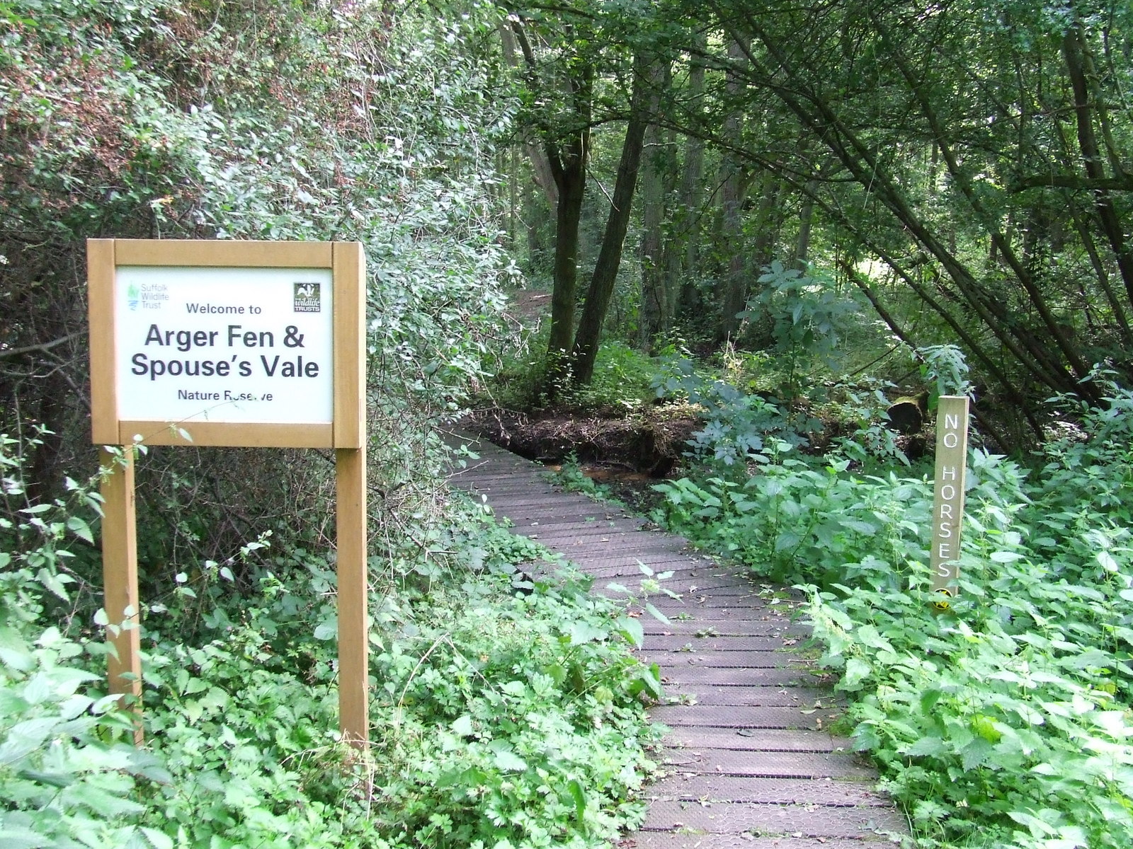
Arger Fen

Arger Fen is a 49.7-hectare (123-acre) biological Site of Special Scientific Interest (SSSI) south-east of Sudbury in Suffolk, England. The site occupies...

Sudbury transmitting station

The Sudbury transmitting station is a facility for telecommunications and broadcasting transmission at Sudbury, England. It consists of two guyed masts...

Tiger Hill, Suffolk

Tiger Hill is a 21 hectare Local Nature Reserve between Bures St Mary and Leavenheath in Suffolk. It is owned by [a group of landowners and declared under...

Newton, Suffolk

Newton, also known as Newton Green to distinguish it from Nowton near Bury St Edmunds, and Old Newton near Stowmarket, is a small village and civil parish...

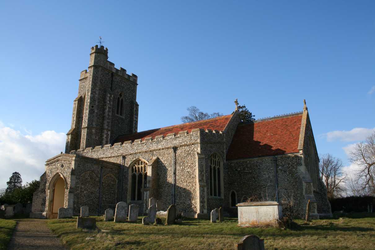
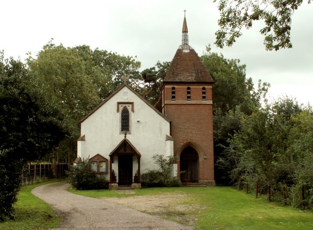
All Saints Church, Newton Green

All Saints Church is a partly redundant Anglican church in the village of Newton Green, Suffolk, England. It is recorded in the National Heritage List...

Nearby Amenities

Located within 500m of 52.007676,0.82241784
Assington
Description: Currently (April 2021) closed, but expected to reopen.
Place: village
Source: NPE
Wikidata: Q742027
Lat/Long: 52.0087937/0.8179966
Water Tower
Naptan AtcoCode: 390010383
Naptan Bearing: NW
Naptan BusStopType: CUS
Naptan CommonName: Water Tower
Naptan Indicator: adj
Naptan Landmark: Water Tower
Naptan NaptanCode: sufagatm
Naptan Street: A134
Naptan Verified: no
Public Transport: platform
Source: naptan_import
Lat/Long: 52.0087044/0.8283019
Water Tower
Naptan AtcoCode: 390010384
Naptan Bearing: SE
Naptan BusStopType: CUS
Naptan CommonName: Water Tower
Naptan Indicator: opp
Naptan Landmark: Water Tower
Naptan NaptanCode: sufagatp
Naptan Street: A134
Naptan Verified: no
Public Transport: platform
Source: naptan_import
Lat/Long: 52.0088111/0.8283523
Shoulder Of Mutton
Local Ref: NR
Naptan AtcoCode: 390010732
Naptan Bearing: S
Naptan BusStopType: CUS
Naptan CommonName: Shoulder Of Mutton
Naptan Indicator: nr
Naptan Landmark: Shoulder Of Mutton
Naptan NaptanCode: sufjdmtd
Naptan Street: Assington Street
Naptan Verified: no
Public Transport: platform
Source: naptan_import
Lat/Long: 52.0075816/0.8166162
Bus Stop
Shoulder Of Mutton
Naptan AtcoCode: 390010733
Naptan Bearing: N
Naptan CommonName: Shoulder Of Mutton
Naptan Indicator: opp
Naptan Landmark: Shoulder Of Mutton
Naptan NaptanCode: sufjdmtg
Naptan Street: Assington Street
Naptan Verified: no
Public Transport: platform
Source: naptan_import
Lat/Long: 52.0075767/0.816441
Pub
Shoulder of Mutton
Addr City: Sudbury
Addr Postcode: CO10 5LJ
Addr Street: The Street
Addr Village: Assington
Description: Currently closed, though there are hopes it may reopen.
Fhrs Id: 909601
Source Addr: FHRS Open Data
Wikidata: Q26288382
Lat/Long: 52.0080335/0.8168459
Telephone
Booth: K6
Covered: booth
Listed Status: Grade II
Phone: +44 1787 210211
Lat/Long: 52.0075355/0.8166878
Post Box
Operator: Royal Mail
Operator Wikidata: Q638098
Post Box Type: lamp
Royal Cypher: EIIR
Royal Cypher Wikidata: Q33102113
Lat/Long: 52.0075763/0.8167209
Advertising: board
Lat/Long: 52.0075944/0.816745
Defibrillator
Access: yes
Defibrillator Location: on front wall of pub
Emergency: defibrillator
Indoor: no
Ref GB The Circuit: 2DFB9F4A-5B66-42FB-BD49-B084008A305B
Lat/Long: 52.0084551/0.8168379
The data included in this document is from www.openstreetmap.org. The data is made available under ODbL.

Have you been to Oatetch Grove?

Leave your review of Oatetch Grove below (or comments, questions and feedback).