Askham
Civil Parish in Nottinghamshire Bassetlaw
England
Askham

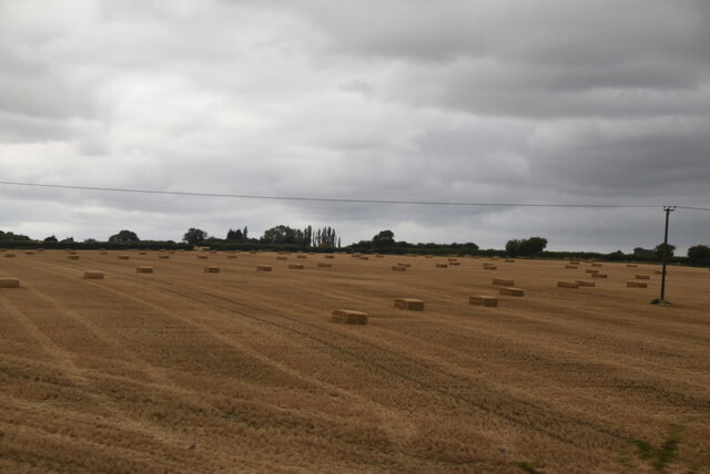
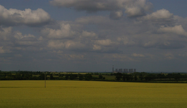
Askham is a civil parish located in the county of Nottinghamshire, England. Situated approximately 8 miles northeast of Newark-on-Trent, it covers an area of around 2.5 square miles. The parish is predominantly rural, characterized by its picturesque countryside, rolling hills, and agricultural land.
Askham is home to a small population, with the 2011 census recording just over 200 residents in the area. The parish consists of a few scattered settlements, including the main village of Askham, which is the administrative center. Other hamlets within the parish include Little Carlton, North Carlton, and South Carlton.
The village of Askham has a rich history, with evidence of human habitation dating back to the prehistoric era. The area was primarily agricultural, and farming has remained an important part of the local economy throughout the centuries. Today, the parish is known for its scenic beauty and peaceful atmosphere, attracting visitors who seek a tranquil escape from urban life.
Although small in size, Askham has a strong community spirit, with various local events and activities organized throughout the year. The parish also benefits from several amenities, including a church, a village hall, and a primary school. Nearby towns and cities such as Newark-on-Trent and Lincoln offer additional services and amenities for residents.
Overall, Askham is a charming rural parish in Nottinghamshire, offering a serene and idyllic environment for its residents and visitors.
If you have any feedback on the listing, please let us know in the comments section below.
Askham Images
Images are sourced within 2km of 53.270818/-0.889111 or Grid Reference SK7475. Thanks to Geograph Open Source API. All images are credited.


Askham is located at Grid Ref: SK7475 (Lat: 53.270818, Lng: -0.889111)
Administrative County: Nottinghamshire
District: Bassetlaw
Police Authority: Nottinghamshire
What 3 Words
///detect.cookbooks.awake. Near East Markham, Nottinghamshire
Related Wikis
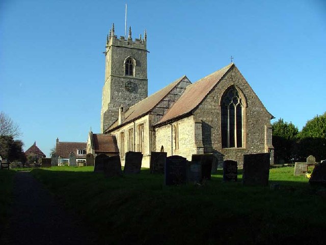
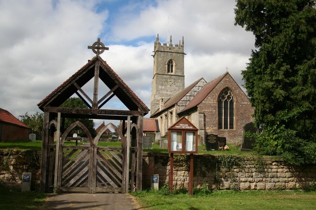
St Nicholas' Church, Askham
St Nicholas' Church, Askham is a parish church in the Church of England in Askham, Nottinghamshire. The church is Grade II* listed by the Department for...

Upton, Bassetlaw
Upton is a small village in the English county of Nottinghamshire. It is located north of Askham and south of Headon; with the latter it forms the civil...

Headon, Nottinghamshire
Headon is a village in Headon cum Upton civil parish, in the Bassetlaw district, of the county of Nottinghamshire, England. The village is adjacent to...

Headon cum Upton
Headon cum Upton is a civil parish in the Bassetlaw district, in the county of Nottinghamshire, England. The parish includes the villages of Headon, Upton...
St Peter's Church, Headon-cum-Upton
St. Peter's Church, Headon-cum-Upton is a parish church in the Church of England in Headon, Nottinghamshire. The church is Grade I listed by the Department...
Askham, Nottinghamshire
Askham is a village and civil parish in the Bassetlaw district of Nottinghamshire, England, about six miles south-east of East Retford. According to the...

East Markham
East Markham, historically also known as Great Markham, is a small village and civil parish near Tuxford, Nottinghamshire. The population of the civil...

Nether Headon
Nether Headon is a hamlet in Headon cum Upton civil parish, within the Bassetlaw district, of the county of Nottinghamshire, England. It is 3.5 miles south...
Nearby Amenities
Located within 500m of 53.270818,-0.889111Have you been to Askham?
Leave your review of Askham below (or comments, questions and feedback).