Askerton

Civil Parish in Cumberland Carlisle

England

Askerton

St Cuthbert's Church and cross at Bewcastle View from the south.
St Cuthbert's Church and cross at Bewcastle Credit: Sandy Gerrard

Askerton is a civil parish located in the county of Cumberland, Northwest England. Situated within the district of Carlisle, Askerton covers an area of approximately 11 square kilometers and is bordered by the parishes of Kirkoswald, Hesket, and Castle Carrock. The parish is primarily rural, characterized by rolling hills, farmland, and scattered small settlements.

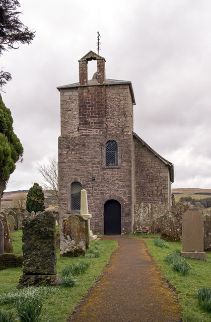
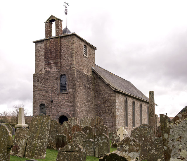
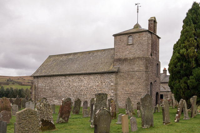
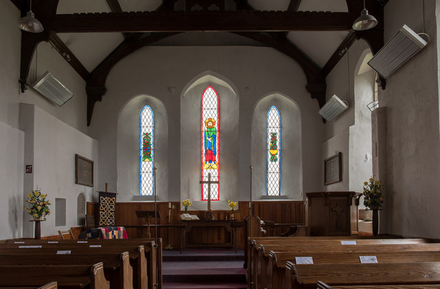
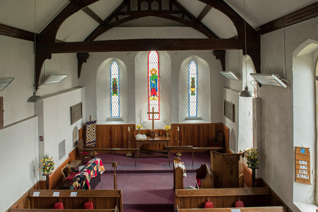
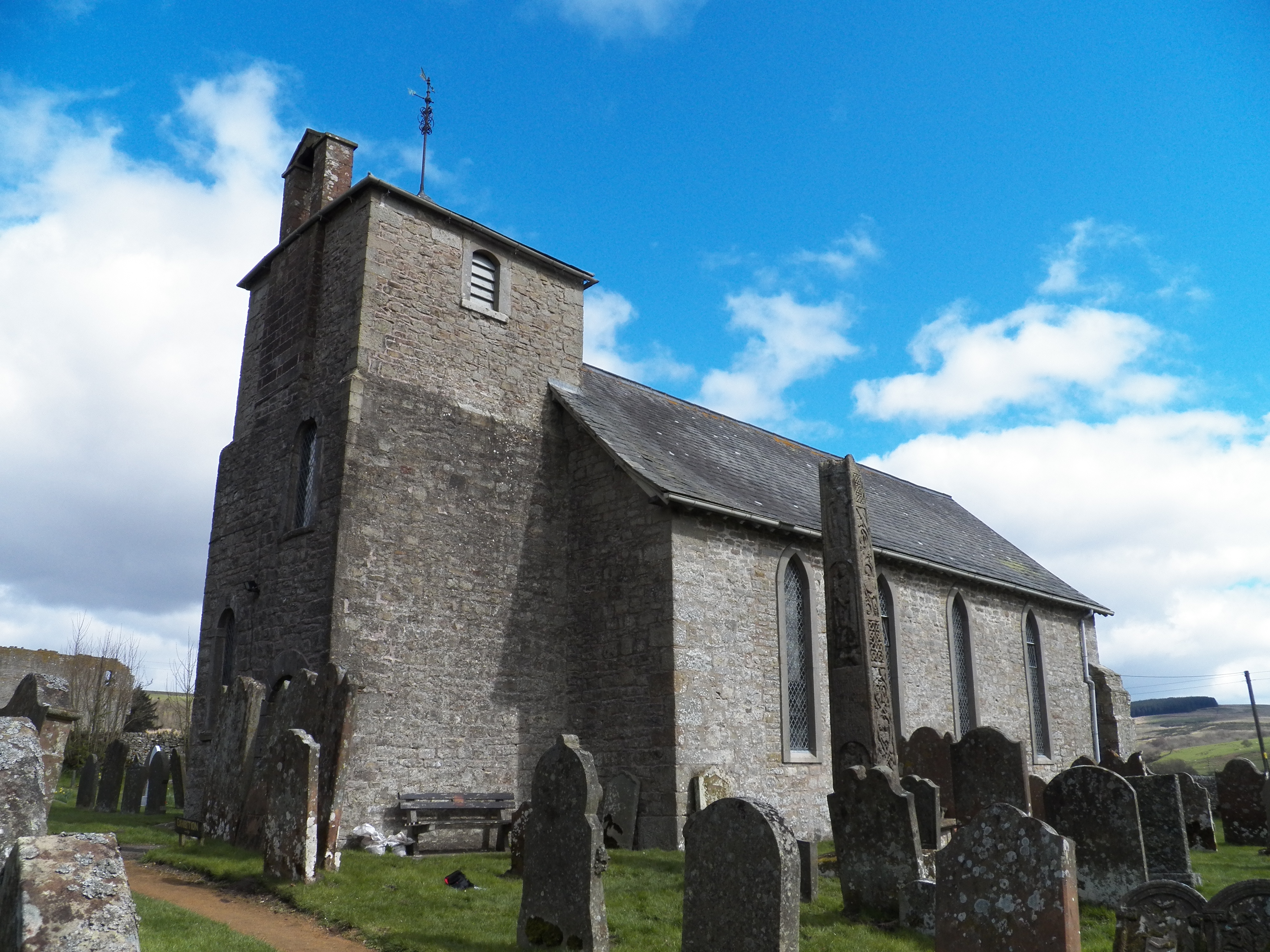
The population of Askerton is relatively small, with the 2011 census recording a total of 215 residents. The parish is mostly residential, with a few small businesses catering to the local community. The village of Askerton itself is the main settlement within the parish, featuring a handful of houses, a church, and a village hall.

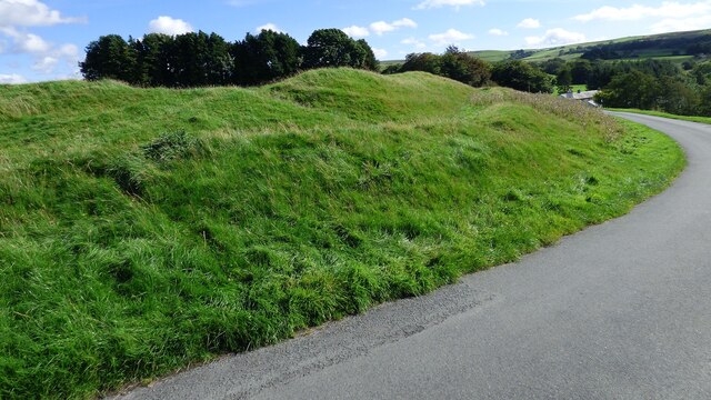
The landscape of Askerton is dominated by agriculture, with sheep farming being particularly prevalent in the area. The parish is surrounded by picturesque countryside, making it an appealing destination for outdoor enthusiasts. There are numerous walking trails and footpaths that allow visitors to explore the natural beauty of the region.

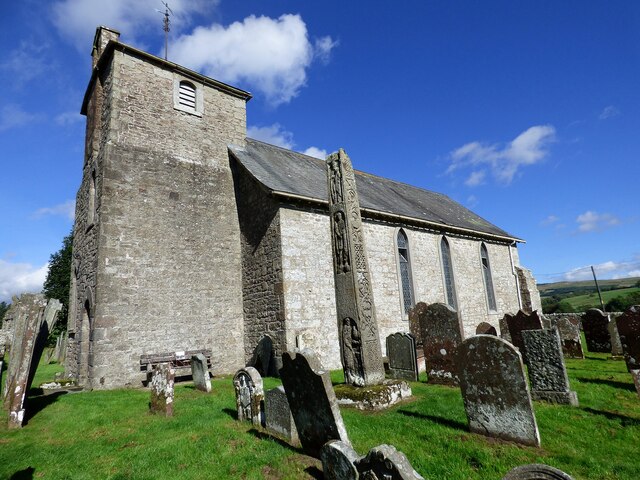
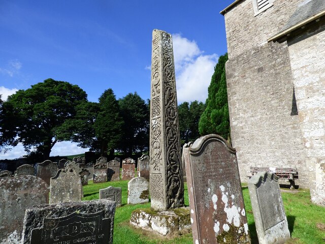
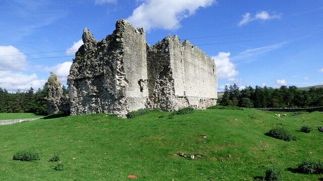
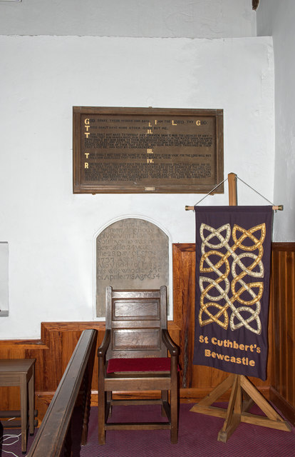
Historically, Askerton was part of the Lordship of Gilsland and has a rich heritage dating back centuries. The area has seen various archaeological discoveries, including Roman forts and Hadrian's Wall, which provide insight into the region's past.

Overall, Askerton is a tranquil and close-knit community that offers a peaceful rural lifestyle and a strong connection to the natural surroundings.

If you have any feedback on the listing, please let us know in the comments section below.
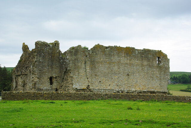
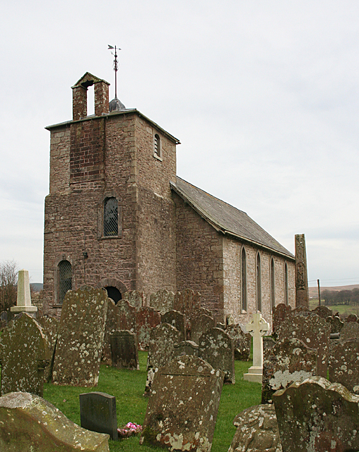
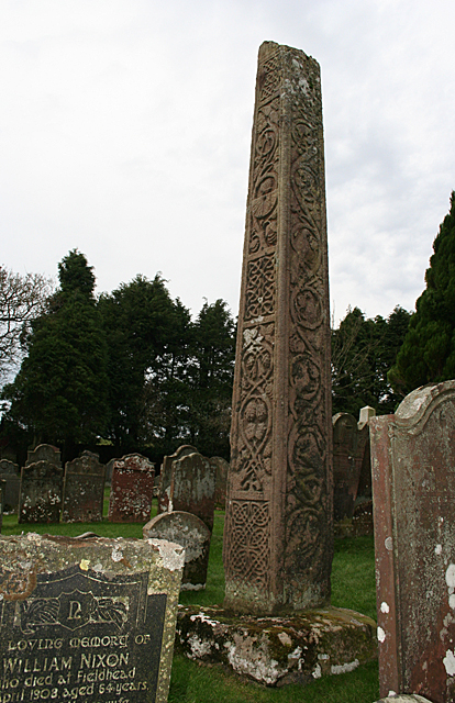
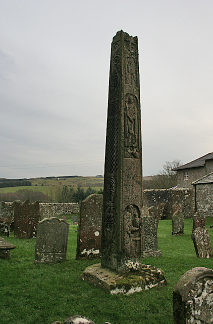
Askerton Images

Images are sourced within 2km of 55.050225/-2.671368 or Grid Reference NY5773. Thanks to Geograph Open Source API. All images are credited.

St Cuthbert's Church and cross at Bewcastle View from the south.
St Cuthbert's Church and cross at Bewcastle
View from the south.
Bewcastle Cross Southern and eastern faces of the cross.
Bewcastle Cross
Southern and eastern faces of the cross.
Bew Castle View from south west <span class="nowrap"><a title="https://historicengland.org.uk/listing/the-list/list-entry/1015728" rel="nofollow ugc noopener" href="https://historicengland.org.uk/listing/the-list/list-entry/1015728">Link</a><img style="margin-left:2px;" alt="External link" title="External link - shift click to open in new window" src="https://s1.geograph.org.uk/img/external.png" width="10" height="10"/></span>
Bew Castle
View from south west LinkExternal link
Roman fort at Bewcastle The south western ramparts of an unusually shaped hexagonal Roman fort <span class="nowrap"><a title="https://historicengland.org.uk/listing/the-list/list-entry/1015728" rel="nofollow ugc noopener" href="https://historicengland.org.uk/listing/the-list/list-entry/1015728">Link</a><img style="margin-left:2px;" alt="External link" title="External link - shift click to open in new window" src="https://s1.geograph.org.uk/img/external.png" width="10" height="10"/></span>
Roman fort at Bewcastle
The south western ramparts of an unusually shaped hexagonal Roman fort LinkExternal link
Bew Castle The remains viewed from St Cuthberts
Bew Castle
The remains viewed from St Cuthberts
St Cuthbert's Church The ancient church at Bewcastle is one of many dedicated to St Cuthbert. To the right (south) of the church is a richly carved cross-shaft.
St Cuthbert's Church
The ancient church at Bewcastle is one of many dedicated to St Cuthbert. To the right (south) of the church is a richly carved cross-shaft.
Bewcastle Cross This is the cross-shaft from the south-east, showing the carvings on the south and east faces of the shaft.
Bewcastle Cross
This is the cross-shaft from the south-east, showing the carvings on the south and east faces of the shaft.
Bewcastle Cross The cross-shaft from the north-west, showing the carvings on the north and west faces.
Bewcastle Cross
The cross-shaft from the north-west, showing the carvings on the north and west faces.
Bew Castle The ruined walls of what must have been a very forbidding fortress in its day.
Bew Castle
The ruined walls of what must have been a very forbidding fortress in its day.
St Cuthbert's Church, Bewcastle - March 2016 (1) The west end of the Church viewed from the entrance gate.
St Cuthbert's Church, Bewcastle - March 2016 (1)
The west end of the Church viewed from the entrance gate.
St Cuthbert's Church, Bewcastle - March 2016 (2) The west and south faces. The Bewcastle Cross can be seen on the right.

Similar views may be found: <a href="https://www.geograph.org.uk/photo/4782578">NY5674 : St Cuthbert's Church</a> and <a href="https://www.geograph.org.uk/photo/1945242">NY5674 : Bewcastle Church</a> .
St Cuthbert's Church, Bewcastle - March 2016 (2)
The west and south faces. The Bewcastle Cross can be seen on the right. Similar views may be found: NY5674 : St Cuthbert's Church and NY5674 : Bewcastle Church .
St Cuthbert's Church, Bewcastle - March 2016 (3) The north face. A similar view may be found: <a href="https://www.geograph.org.uk/photo/239627">NY5674 : Saint Cuthbert's Church, Bewcastle</a> .
St Cuthbert's Church, Bewcastle - March 2016 (3)
The north face. A similar view may be found: NY5674 : Saint Cuthbert's Church, Bewcastle .
St Cuthbert's Church, Bewcastle - March 2016 (4) Interior looking down the nave to the millennium/centenary east window. A similar view may be found: <a href="https://www.geograph.org.uk/photo/1833378">NY5674 : St. Cuthbert's Church Bewcastle - east end</a> with an east window detail at: <a href="https://www.geograph.org.uk/photo/1833387">NY5674 : St. Cuthbert's Church Bewcastle - stained glass window (east end)</a> .
St Cuthbert's Church, Bewcastle - March 2016 (4)
Interior looking down the nave to the millennium/centenary east window. A similar view may be found: NY5674 : St. Cuthbert's Church Bewcastle - east end with an east window detail at: NY5674 : St. Cuthbert's Church Bewcastle - stained glass window (east end) .
St Cuthbert's Church, Bewcastle - March 2016 (5) Left (north) side of the altar. The wooden plaque is No's 1-4 of the Ten Commandments while the stone memorial marks the burial place of Rev Matthew Soulby, Rector of St Cuthbert's who died 28 September 1737.
St Cuthbert's Church, Bewcastle - March 2016 (5)
Left (north) side of the altar. The wooden plaque is No's 1-4 of the Ten Commandments while the stone memorial marks the burial place of Rev Matthew Soulby, Rector of St Cuthbert's who died 28 September 1737.
St Cuthbert's Church, Bewcastle - March 2016 (6) The right (north) side of the altar, with a wooden plaque giving No's 5-10 of the Ten Commandments.
St Cuthbert's Church, Bewcastle - March 2016 (6)
The right (north) side of the altar, with a wooden plaque giving No's 5-10 of the Ten Commandments.
St Cuthbert's Church, Bewcastle - March 2016 (7) View from the altar down the nave to the west entrance.
St Cuthbert's Church, Bewcastle - March 2016 (7)
View from the altar down the nave to the west entrance.
St Cuthbert's Church, Bewcastle - March 2016 (8) West interior entrance door.
St Cuthbert's Church, Bewcastle - March 2016 (8)
West interior entrance door.
St Cuthbert's Church, Bewcastle - March 2016 (9) The altar and east end of the Church viewed from the gallery.
St Cuthbert's Church, Bewcastle - March 2016 (9)
The altar and east end of the Church viewed from the gallery.
Show me another place!

Askerton is located at Grid Ref: NY5773 (Lat: 55.050225, Lng: -2.671368)

Administrative County: Cumbria

District: Carlisle

Police Authority: Cumbria

What 3 Words

///people.snippets.diamonds. Near Brampton, Cumbria

Nearby Locations

Herd Hill Askerton

Related Wikis

Nearby Amenities

Located within 500m of 55.050225,-2.671368
Place: farm
Lat/Long: 55.0498002/-2.6674567
Power: pole
Lat/Long: 55.0499608/-2.6674544
Power: pole
Lat/Long: 55.0507128/-2.6677682
Power: pole
Lat/Long: 55.0517557/-2.6682162
Power: pole
Lat/Long: 55.0526161/-2.6685492
Power: pole
Lat/Long: 55.0538026/-2.6692709
Power: pole
Lat/Long: 55.0546167/-2.6697661
Power: pole
Lat/Long: 55.0532953/-2.6703602
Power: pole
Lat/Long: 55.0527862/-2.671419
Power: pole
Lat/Long: 55.0527053/-2.6728803
Power: pole
Lat/Long: 55.0526271/-2.6743464
Power: pole
Lat/Long: 55.0525653/-2.6758412
The data included in this document is from www.openstreetmap.org. The data is made available under ODbL.

Have you been to Askerton?

Leave your review of Askerton below (or comments, questions and feedback).