Ashwater

Civil Parish in Devon Torridge

England

Ashwater

Field near Hunscott Chapel It looks as if deer fencing is necessary to surround the grounds of the chapel, which is just off to the right. In the background is the edge of a large area of plantations, unnamed on maps.
Field near Hunscott Chapel Credit: Derek Harper

Ashwater is a civil parish located in the county of Devon, England. Situated in the West Devon district, it covers an area of approximately 8.6 square kilometers. The parish is bordered by the River Tamar to the west, and is surrounded by picturesque countryside and farmland.

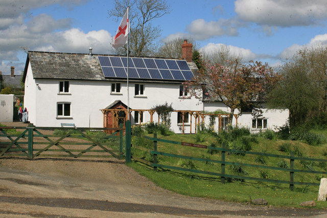
The village of Ashwater, after which the parish is named, is the primary settlement within the area. It is a charming and historic village with a population of around 500 residents. The village boasts a number of beautiful thatched cottages and traditional architecture, giving it a quintessentially English feel.

Ashwater is home to a range of amenities to cater to the needs of its residents. These include a primary school, a village hall, a post office, a village shop, and a pub. The community is also served by regular bus services connecting it to nearby towns and villages.

The parish is known for its strong sense of community and its active participation in local events. It hosts various activities and gatherings throughout the year, such as fairs, concerts, and sports events. The parish also benefits from its proximity to Dartmoor National Park, which offers opportunities for outdoor activities such as hiking, cycling, and wildlife spotting.

Overall, Ashwater, Devon is a tranquil and picturesque civil parish that offers a close-knit community, stunning countryside, and a range of amenities for its residents to enjoy.

If you have any feedback on the listing, please let us know in the comments section below.
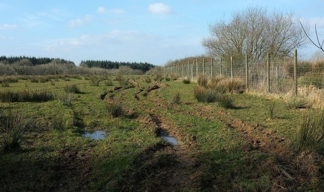
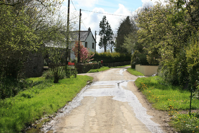
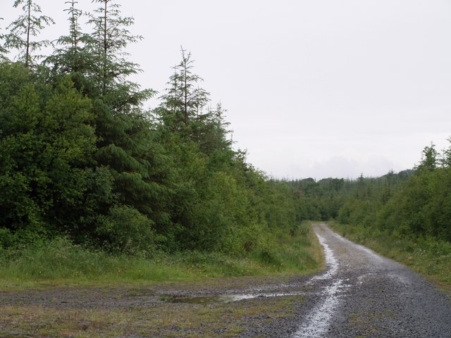
Ashwater Images

Images are sourced within 2km of 50.764123/-4.282331 or Grid Reference SX3998. Thanks to Geograph Open Source API. All images are credited.

Field near Hunscott Chapel It looks as if deer fencing is necessary to surround the grounds of the chapel, which is just off to the right. In the background is the edge of a large area of plantations, unnamed on maps.
Field near Hunscott Chapel
It looks as if deer fencing is necessary to surround the grounds of the chapel, which is just off to the right. In the background is the edge of a large area of plantations, unnamed on maps.
Bendibus Hill Cross I took <a href="https://www.geograph.org.uk/photo/468663">SX3899 : Bendibus Hill Cross</a> on a miserable summer day nearly nine years ago; here it is on a lovely day with winter just turning into spring. I didn't notice before that the name on the signpost is just "Bendibus Cross"; maps disagree with each other. Bendibus Hill is the lane opposite which drops to cross a tributary of the Claw. The name "bendibus" is used also for a wood to the northwest, and was obviously created by a precognitive clairvoyant whose only mistake was to assume that the articulated bus would find its way to this remote area of Devon rather than its usual urban environment.
Bendibus Hill Cross
I took SX3899 : Bendibus Hill Cross on a miserable summer day nearly nine years ago; here it is on a lovely day with winter just turning into spring. I didn't notice before that the name on the signpost is just "Bendibus Cross"; maps disagree with each other. Bendibus Hill is the lane opposite which drops to cross a tributary of the Claw. The name "bendibus" is used also for a wood to the northwest, and was obviously created by a precognitive clairvoyant whose only mistake was to assume that the articulated bus would find its way to this remote area of Devon rather than its usual urban environment.
Lane past Rowan Park From the same spot as <a href="https://www.geograph.org.uk/photo/4865685">SX3999 : Field near Hunscott Chapel</a>, looking right.
Lane past Rowan Park
From the same spot as SX3999 : Field near Hunscott Chapel, looking right.
Middle Quoditch Devon Cottage Small Devon hamlet on the road towards Hallwil
Middle Quoditch Devon Cottage
Small Devon hamlet on the road towards Hallwil
Quoditch
Quoditch
Sprys Shop, road junction
Sandymoor Cross, road junction
Thorney Cross, road junction
Field near Broadleaf Farm From the lane between Hunscott and Quoditch Cross.
Field near Broadleaf Farm
From the lane between Hunscott and Quoditch Cross.
Lane near East Down From the same spot as <a href="https://www.geograph.org.uk/photo/4865670">SX4099 : Field near Broadleaf Farm</a>, looking along the lane towards Quoditch Cross.
Lane near East Down
From the same spot as SX4099 : Field near Broadleaf Farm, looking along the lane towards Quoditch Cross.
Sandymoor Cross A major lane, from Holsworthy to Broadwoodwidger, crosses a minor lane from Chapmans Well to Halwill. In spite of the sunshine, this was taken in pouring rain.
Sandymoor Cross
A major lane, from Holsworthy to Broadwoodwidger, crosses a minor lane from Chapmans Well to Halwill. In spite of the sunshine, this was taken in pouring rain.
Buckhorn Methodist Church No date visible for the building. The lane goes from Sandymoor Cross to Claw Bridge.
Buckhorn Methodist Church
No date visible for the building. The lane goes from Sandymoor Cross to Claw Bridge.
Bendibus Hill Cross A lane junction at the top of Bendibus Hill, which is the lane straight ahead. The lane across links Clawford Cross and Halwill. The lane to the left of the camera has come from Sandynoor Cross.
Bendibus Hill Cross
A lane junction at the top of Bendibus Hill, which is the lane straight ahead. The lane across links Clawford Cross and Halwill. The lane to the left of the camera has come from Sandynoor Cross.
Bendibus Hill The interestingly named road has performed most of its steep descent from <a href="https://www.geograph.org.uk/photo/468663">SX3899 : Bendibus Hill Cross</a>, and enters this square briefly on this left bend, while passing a large unnamed wood on the right.
Bendibus Hill
The interestingly named road has performed most of its steep descent from SX3899 : Bendibus Hill Cross, and enters this square briefly on this left bend, while passing a large unnamed wood on the right.
Field at East Down Evidence of recent activity in this field - probably the removal of the hay crop before the rain could damage it. Behind the hedge is a field access track leading towards Langaford Moor. Taken from a gateway on the lane from Sandynoor Cross to Halwill.
Field at East Down
Evidence of recent activity in this field - probably the removal of the hay crop before the rain could damage it. Behind the hedge is a field access track leading towards Langaford Moor. Taken from a gateway on the lane from Sandynoor Cross to Halwill.
Quoditchmoor Plantations The scene at a crossroads of rides in this large area of accessible woodland. On the left is a turning circle.
Quoditchmoor Plantations
The scene at a crossroads of rides in this large area of accessible woodland. On the left is a turning circle.
Entrance to Quoditchmoor Plantations See also <a href="https://www.geograph.org.uk/photo/468718">SX4098 : Quoditchmoor Plantations</a>. This is a track leading off the lane near Quoditch Cross.
Entrance to Quoditchmoor Plantations
See also SX4098 : Quoditchmoor Plantations. This is a track leading off the lane near Quoditch Cross.
Sandymoor Cross A close-up of the signpost seen in <a href="https://www.geograph.org.uk/photo/468585">SX3898 : Sandymoor Cross</a>, kneedeep in long wet grass.
Sandymoor Cross
A close-up of the signpost seen in SX3898 : Sandymoor Cross, kneedeep in long wet grass.
Show me another place!

Ashwater is located at Grid Ref: SX3998 (Lat: 50.764123, Lng: -4.282331)

Administrative County: Devon

District: Torridge

Police Authority: Devon & Cornwall

What 3 Words

///recruiter.outboard.ambitions. Near Holsworthy, Devon

Related Wikis

Quoditch

Quoditch is a hamlet in the parish of Ashwater, part of the Torridge district of Devon, England. Its nearest town is Holsworthy, which lies approximately...

Ashwater railway station

Ashwater railway station was a railway station that served the hamlets of Ashwater and Ashmill in Devon, England. It was located on the North Cornwall...

Halwill

Halwill is a village and civil parish in the Torridge district, in Devon, England just off the A3079 Okehampton to Holsworthy road. About a mile away on...

Clawton

Clawton is a village and civil parish in the far west of Devon, England. It forms part of the local government district of Torridge. The village lies about...

Nearby Amenities

Located within 500m of 50.764123,-4.282331
The data included in this document is from www.openstreetmap.org. The data is made available under ODbL.

Have you been to Ashwater?

Leave your review of Ashwater below (or comments, questions and feedback).