Ashwell
Civil Parish in Hertfordshire North Hertfordshire
England
Ashwell
Ashwell is a civil parish located in the county of Hertfordshire, England. It is situated approximately 40 miles north of London and lies within the district of North Hertfordshire. The parish covers an area of around 5.7 square miles and is home to a population of approximately 1,800 residents.
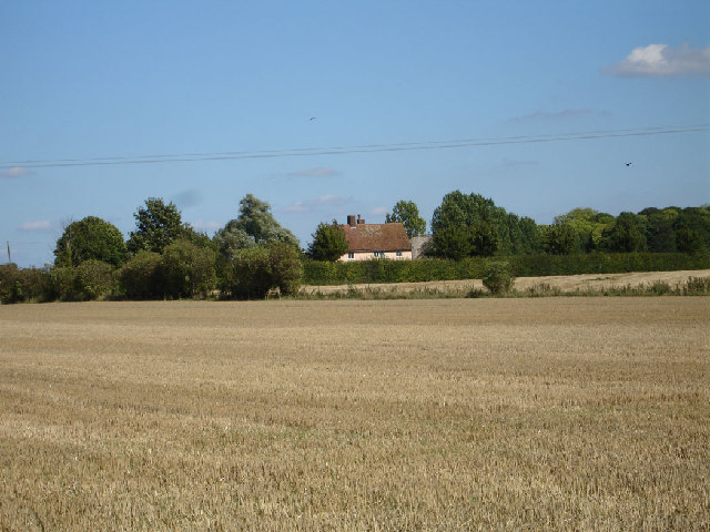
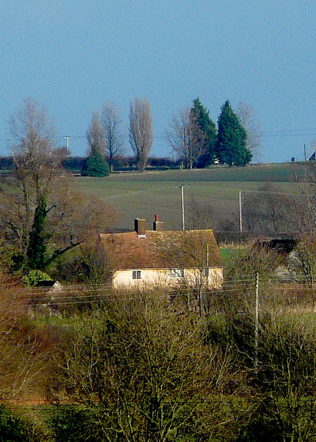
Ashwell is a historical village with a rich heritage dating back to Roman times. It is known for its well-preserved medieval architecture, including timber-framed buildings and a 14th-century church. The village center is designated as a conservation area, ensuring the preservation of its historic charm.
The village offers a range of amenities and facilities to its residents. It has a primary school, a village hall, a post office, and a variety of local shops and businesses. There are also several pubs and restaurants, providing options for dining and socializing.
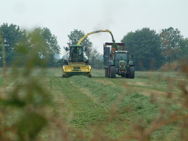
Ashwell is surrounded by picturesque countryside, making it a popular destination for outdoor enthusiasts. The area offers numerous footpaths and bridleways, allowing residents and visitors to explore the beautiful landscapes. Additionally, there are several parks and open spaces within the parish, providing opportunities for recreational activities.
Transportation in Ashwell is convenient, with regular bus services connecting the village to nearby towns and cities. The nearest railway station is Ashwell and Morden, which provides direct access to London and other major destinations.
Overall, Ashwell is a charming and historic village that offers a peaceful and idyllic lifestyle for its residents, with easy access to both rural and urban amenities.
If you have any feedback on the listing, please let us know in the comments section below.
Ashwell Images
Images are sourced within 2km of 52.040817/-0.155141 or Grid Reference TL2639. Thanks to Geograph Open Source API. All images are credited.


Ashwell is located at Grid Ref: TL2639 (Lat: 52.040817, Lng: -0.155141)
Administrative County: Hertfordshire
District: North Hertfordshire
Police Authority: Hertfordshire
What 3 Words
///cave.homes.thrashing. Near Ashwell, Hertfordshire
Related Wikis

St Mary's Church, Ashwell, Hertfordshire
The Church of St Mary the Virgin in Ashwell, in the English county of Hertfordshire, is the Anglican parish church for the village. It comes under the...

Ashwell, Hertfordshire
Ashwell is a village and civil parish in Hertfordshire situated 4 miles (6 km) north-east of Baldock. == History == To the southwest of the village is...

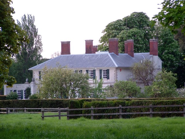
Ashwell Bury
Ashwell Bury, at Ashwell in Hertfordshire, England, is an early 19th-century house of white brick, perhaps originally built before 1836 for Edward George...

Ashwell Springs
Ashwell Springs is a 0.3-hectare (0.74-acre) biological Site of Special Scientific Interest in Ashwell in Hertfordshire, England. The local planning authority...

Westbury Nernewtes Manor
Westbury Nernewtes Manor is an English manor near the village of Ashwell, Hertfordshire. A Buckinghamshire family of Nernewt (Nernuyt) held land in the...
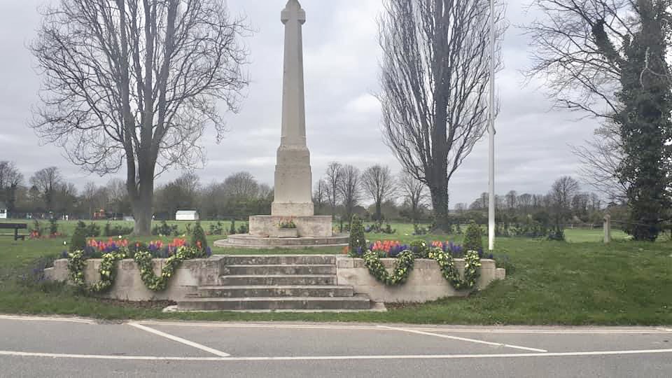
Ashwell War Memorial
Ashwell War Memorial is a war memorial cross in the village of Ashwell in North Hertfordshire, England. The memorial was designed by Sir Edwin Lutyens...
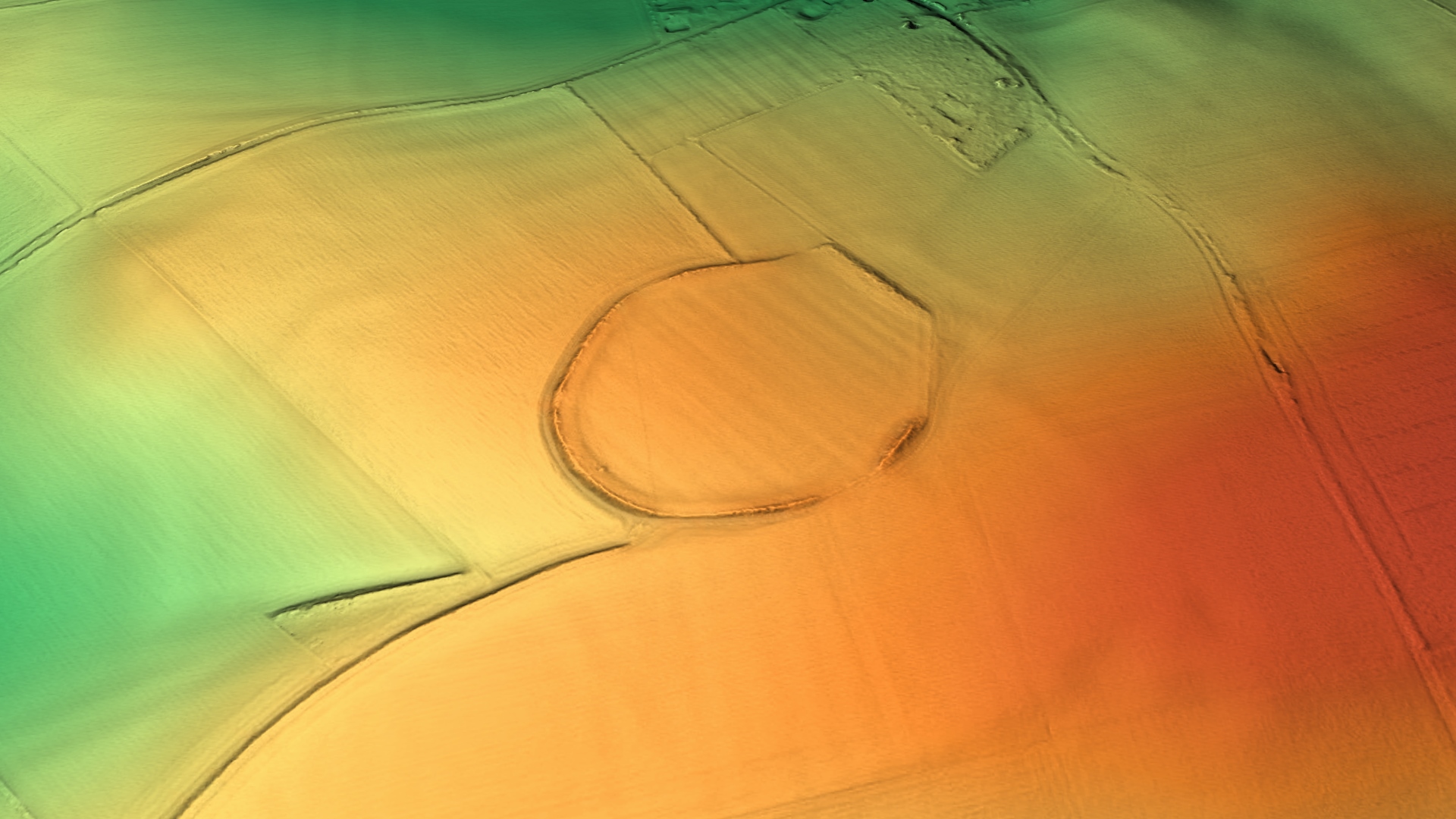
Arbury Banks, Hertfordshire
Arbury Banks is a hill fort southwest of Ashwell, Hertfordshire, England. It was probably first constructed during the late Bronze Age, 1000-700 BC. Standing...

Ashwell Quarry and Quarry Springs
Ashwell Quarry and Quarry Springs is a three hectare nature reserve managed by the Herts and Middlesex Wildlife Trust near Ashwell in Hertfordshire. Ashwell...
Nearby Amenities
Located within 500m of 52.040817,-0.155141Have you been to Ashwell?
Leave your review of Ashwell below (or comments, questions and feedback).