Ashwell
Settlement in Hertfordshire North Hertfordshire
England
Ashwell
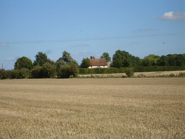
Ashwell is a small village located in the county of Hertfordshire, England. Situated about 40 miles north of London, it falls within the North Hertfordshire District. With a population of around 1,800 residents, Ashwell exudes a charming and picturesque atmosphere.
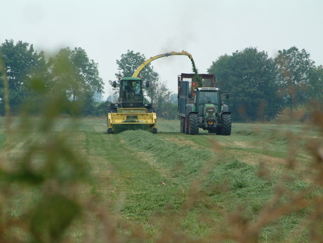
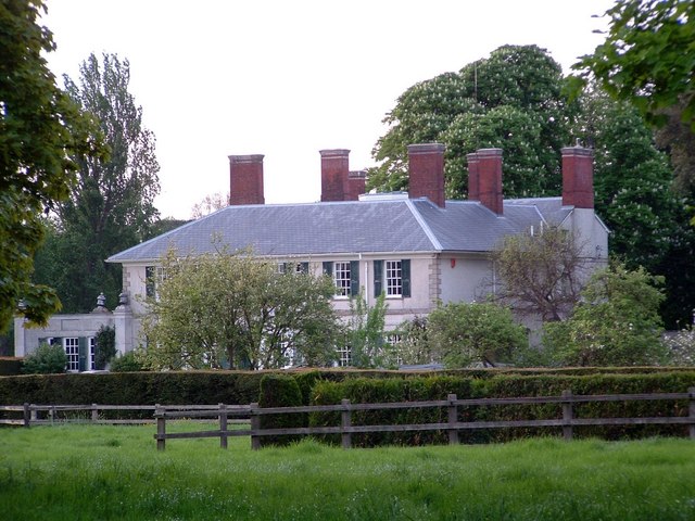
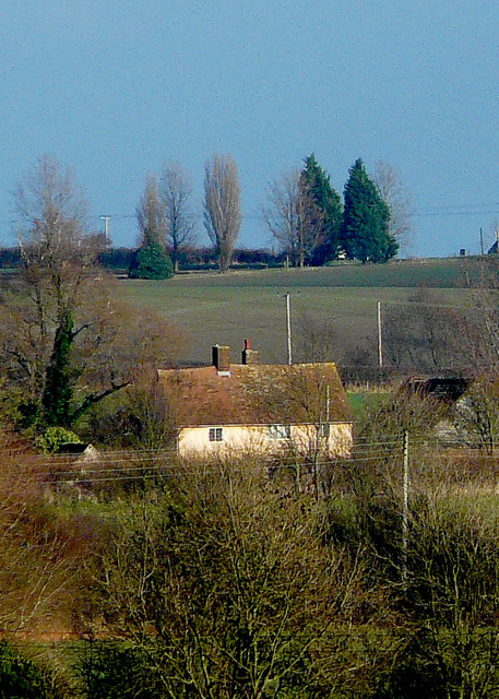
The village is known for its rich history, with evidence of human settlement dating back to the Neolithic era. Ashwell grew as an agricultural center during the Middle Ages, and remnants of its past can still be seen today. The village is home to numerous historic buildings, including St. Mary's Church, a Grade I listed building that dates back to the 14th century.
Ashwell is also famous for its annual event called "Ashwell at Home," where residents open their gardens to visitors, showcasing the village's stunning floral displays. The event attracts many tourists and gardening enthusiasts from far and wide.
The village boasts several amenities, including a primary school, a village hall, a post office, and a few local shops and pubs. The Ashwell Springs, located just outside the village, is a nature reserve and a popular spot for walking and picnicking.
Transport links in Ashwell are well-connected, with a train station providing easy access to London and Cambridge. The village is also conveniently located near major road networks, including the A1(M) and A505, allowing for convenient travel by car.
Overall, Ashwell embodies the quintessential English village, with its historical charm, vibrant community, and beautiful surrounding countryside.
If you have any feedback on the listing, please let us know in the comments section below.
Ashwell Images
Images are sourced within 2km of 52.04127/-0.15099041 or Grid Reference TL2639. Thanks to Geograph Open Source API. All images are credited.


Ashwell is located at Grid Ref: TL2639 (Lat: 52.04127, Lng: -0.15099041)
Administrative County: Hertfordshire
District: North Hertfordshire
Police Authority: Hertfordshire
What 3 Words
///fabric.raven.surpasses. Near Ashwell, Hertfordshire
Related Wikis

Ashwell Springs
Ashwell Springs is a 0.3-hectare (0.74-acre) biological Site of Special Scientific Interest in Ashwell in Hertfordshire, England. The local planning authority...

St Mary's Church, Ashwell, Hertfordshire
The Church of St Mary the Virgin in Ashwell, in the English county of Hertfordshire, is the Anglican parish church for the village. It comes under the...
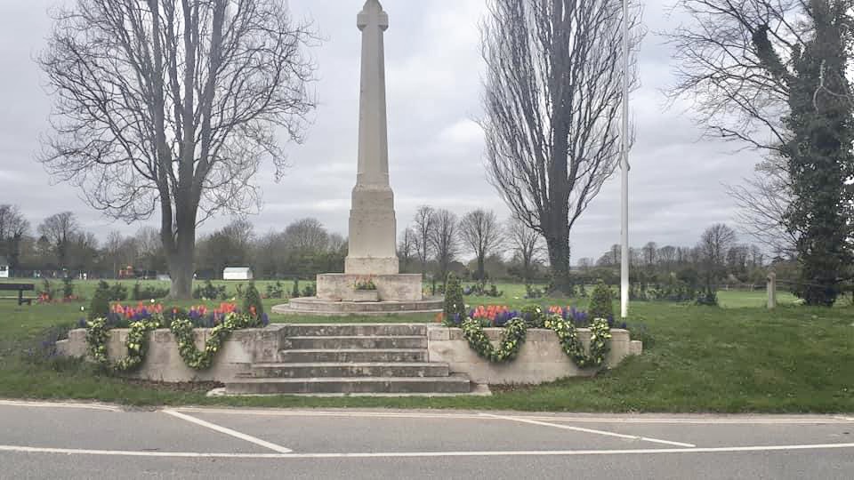
Ashwell War Memorial
Ashwell War Memorial is a war memorial cross in the village of Ashwell in North Hertfordshire, England. The memorial was designed by Sir Edwin Lutyens...

Ashwell, Hertfordshire
Ashwell is a village and civil parish in Hertfordshire situated 4 miles (6 km) north-east of Baldock. == History == To the southwest of the village is...
Nearby Amenities
Located within 500m of 52.04127,-0.15099041Have you been to Ashwell?
Leave your review of Ashwell below (or comments, questions and feedback).