Ashwell End
Settlement in Hertfordshire North Hertfordshire
England
Ashwell End
Ashwell End is a small village located in the county of Hertfordshire, England. Situated in the northern part of the county, it lies approximately 30 miles north of London. The village is part of the larger civil parish of Ashwell and is characterized by its picturesque countryside setting.
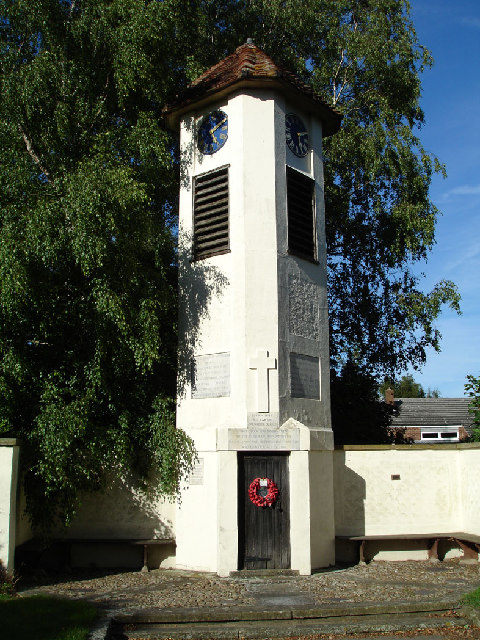
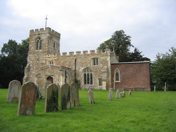
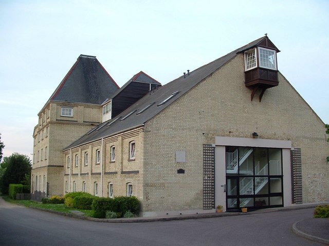
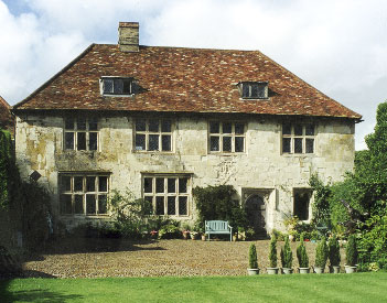
Ashwell End is a predominantly residential area with a population of around 400 people. The village is known for its historic architecture, with many houses dating back to the 17th and 18th centuries. The traditional charm of the village is further enhanced by the presence of thatched cottages and a small village green.
The village benefits from its proximity to the larger town of Baldock, located just a few miles to the south. Baldock offers a range of amenities including shops, supermarkets, and schools, providing residents of Ashwell End with easy access to essential services.
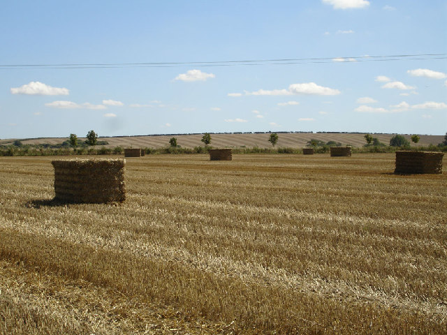
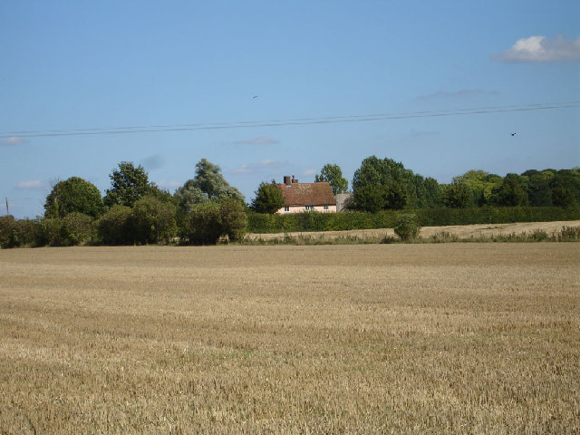
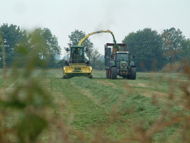
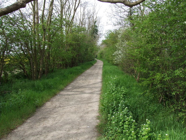
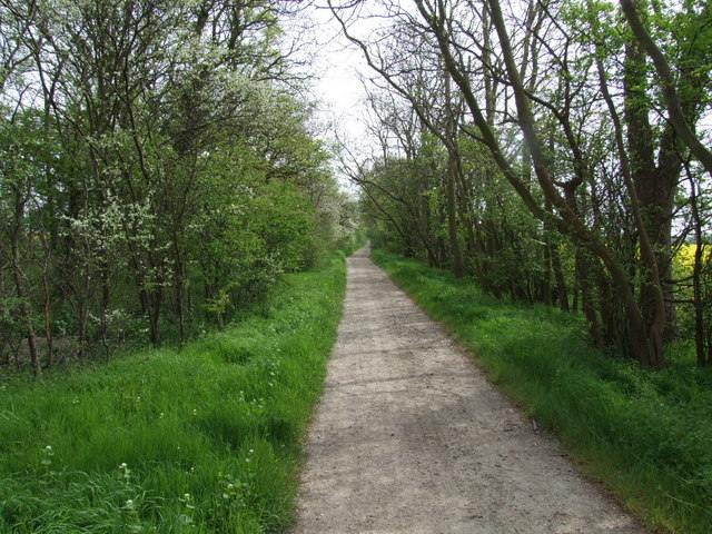
Surrounded by rolling hills and farmland, Ashwell End offers a tranquil and idyllic setting for those seeking a rural lifestyle. The area is known for its stunning landscapes, making it popular with walkers and nature enthusiasts. The nearby Ashwell Springs is a notable natural feature, providing a source of freshwater that has been used for centuries.
Transport links in Ashwell End are relatively limited, with the nearest railway station located in Baldock. However, the village is well-connected by road, with the A505 providing access to nearby towns and cities.
In summary, Ashwell End is a charming village in Hertfordshire, offering a peaceful and picturesque setting for residents seeking a rural lifestyle.
If you have any feedback on the listing, please let us know in the comments section below.
Ashwell End Images
Images are sourced within 2km of 52.047844/-0.171608 or Grid Reference TL2540. Thanks to Geograph Open Source API. All images are credited.


Ashwell End is located at Grid Ref: TL2540 (Lat: 52.047844, Lng: -0.171608)
Administrative County: Hertfordshire
District: North Hertfordshire
Police Authority: Hertfordshire
What 3 Words
///rhino.limits.turns. Near Ashwell, Hertfordshire
Nearby Locations
Related Wikis

Ashwell Quarry and Quarry Springs
Ashwell Quarry and Quarry Springs is a three hectare nature reserve managed by the Herts and Middlesex Wildlife Trust near Ashwell in Hertfordshire. Ashwell...

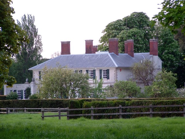
Ashwell Bury
Ashwell Bury, at Ashwell in Hertfordshire, England, is an early 19th-century house of white brick, perhaps originally built before 1836 for Edward George...

Ashwell, Hertfordshire
Ashwell is a village and civil parish in Hertfordshire situated 4 miles (6 km) north-east of Baldock. == History == To the southwest of the village is...

Westbury Nernewtes Manor
Westbury Nernewtes Manor is an English manor near the village of Ashwell, Hertfordshire. A Buckinghamshire family of Nernewt (Nernuyt) held land in the...

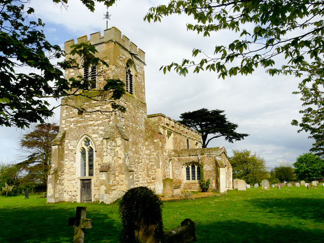
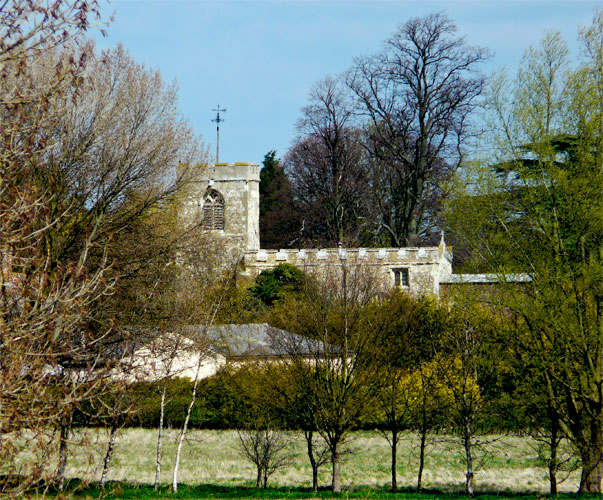
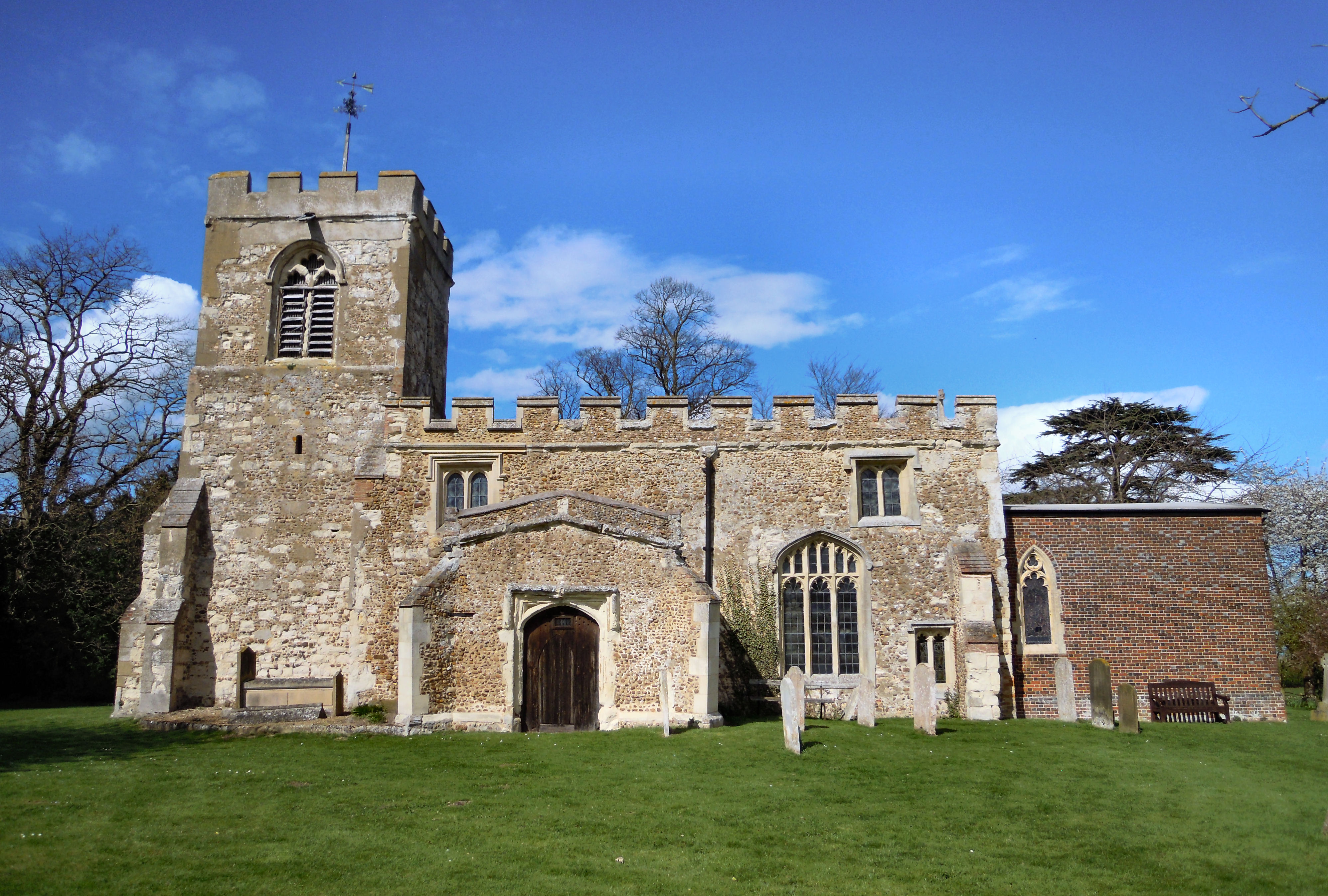
St Mary's Church, Ashwell, Hertfordshire
The Church of St Mary the Virgin in Ashwell, in the English county of Hertfordshire, is the Anglican parish church for the village. It comes under the...

Ashwell Springs
Ashwell Springs is a 0.3-hectare (0.74-acre) biological Site of Special Scientific Interest in Ashwell in Hertfordshire, England. The local planning authority...
Church of St Nicholas, Hinxworth
The Church of St Nicholas is a Church of England parish church in the village of Hinxworth in Hertfordshire and is a Grade II* listed building dating mostly...
Hinxworth Place
Hinxworth Place is a medieval manor house near Hinxworth, Hertfordshire, England. Formerly the Manor of Pulters, building was started c. 1390. The construction...
Nearby Amenities
Located within 500m of 52.047844,-0.171608Have you been to Ashwell End?
Leave your review of Ashwell End below (or comments, questions and feedback).