Ashow

Civil Parish in Warwickshire Warwick

England

Ashow

Roundabout at junction of A46 and A452, Kenilworth
Roundabout at junction of A46 and A452, Kenilworth Credit: A J Paxton

Ashow is a civil parish located in the county of Warwickshire, England. It is situated approximately 4 miles east of the town of Warwick and has a population of around 300 residents. The parish covers an area of about 1,300 acres.

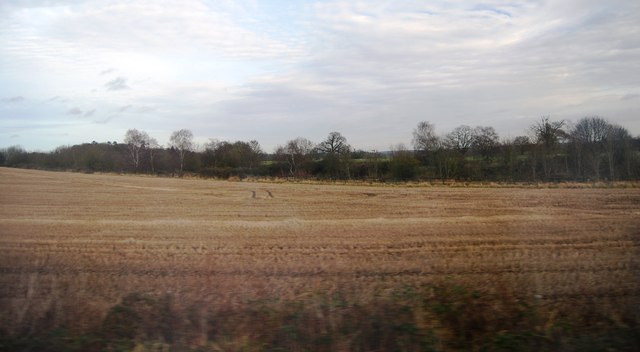
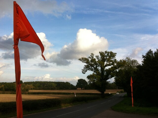
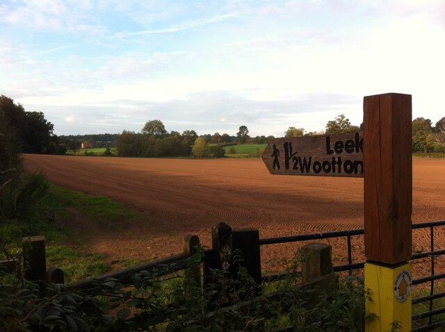
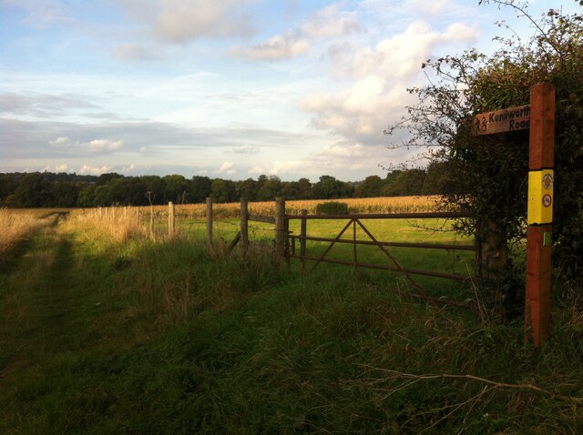
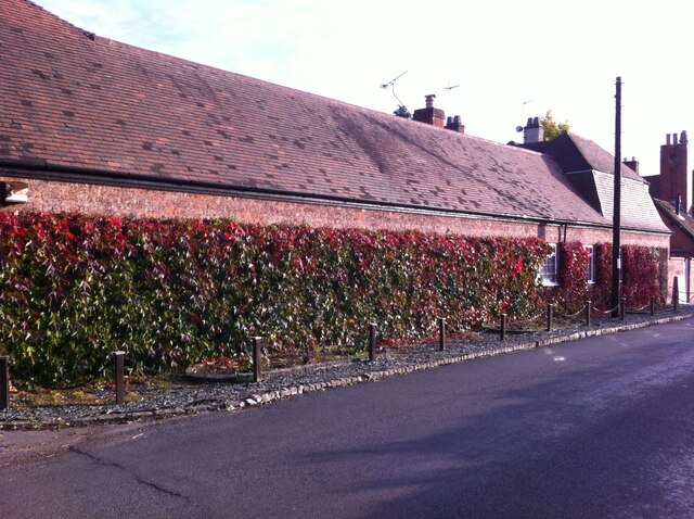
The village of Ashow is known for its picturesque rural setting and charming village atmosphere. It is surrounded by beautiful countryside, with rolling hills, meadows, and farmland. The River Avon flows through the parish, adding to its scenic beauty.

Ashow has a rich history, with evidence of human settlement dating back to the Roman period. The village was mentioned in the Domesday Book of 1086, indicating its long-standing presence. Throughout the centuries, Ashow has been an agricultural community, with farming and livestock rearing being the primary economic activities.

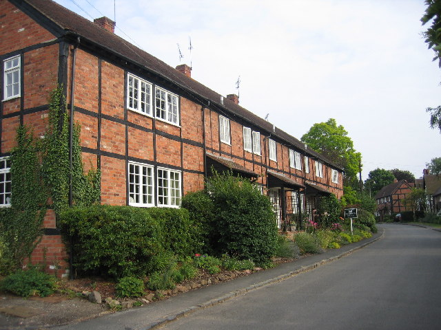
The village is primarily residential, with a mix of historic cottages and newer homes. There is a village hall that serves as a community center for various activities and events. Ashow also has a local pub, providing a social hub for residents and visitors alike.

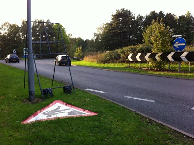
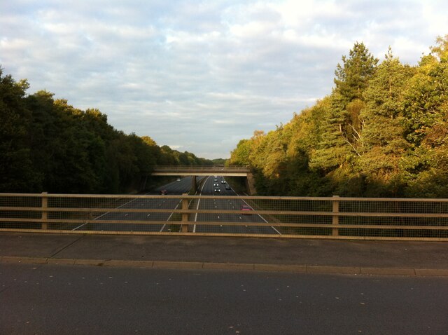
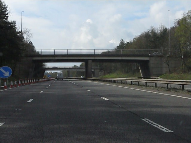
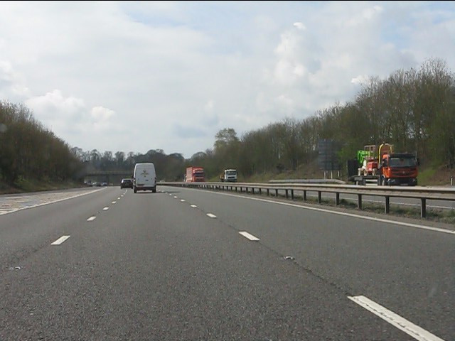
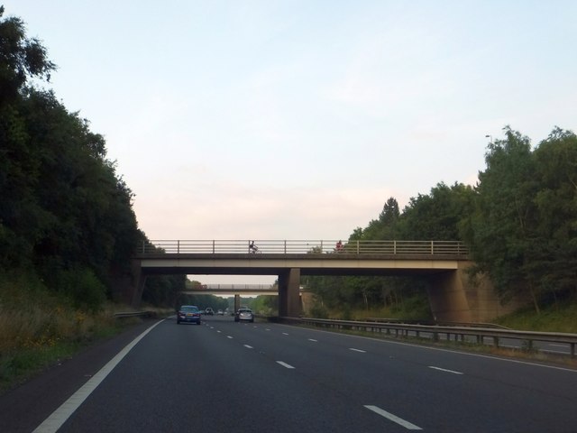
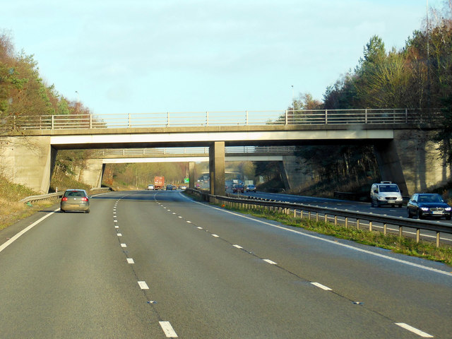
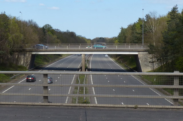
The parish is well-connected, with good transportation links to nearby towns and cities. The M40 motorway is easily accessible, offering convenient access to Birmingham, Coventry, and London.

Overall, Ashow is a small yet vibrant rural community nestled in the heart of Warwickshire. Its idyllic location, rich history, and strong community spirit make it a desirable place to live and visit.

If you have any feedback on the listing, please let us know in the comments section below.

Ashow Images

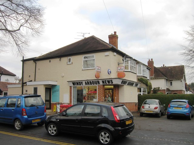
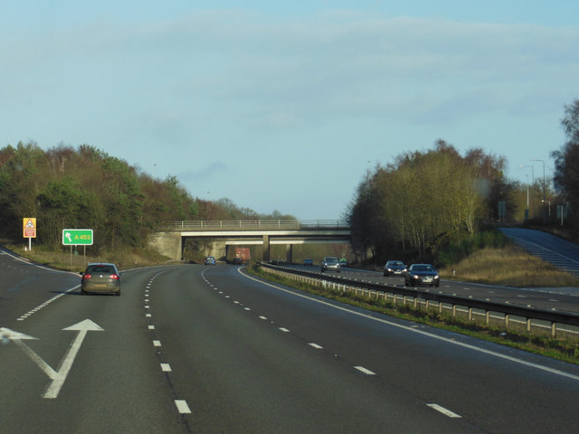
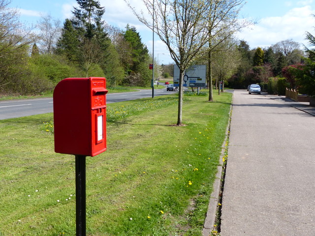
Images are sourced within 2km of 52.331224/-1.541213 or Grid Reference SP3170. Thanks to Geograph Open Source API. All images are credited.

Roundabout at junction of A46 and A452, Kenilworth
Roundabout at junction of A46 and A452, Kenilworth We are looking to the north east, where the A46 Kenilworth Bypass cuts through Thickthorn Wood.
Roundabout at junction of A46 and A452, Kenilworth
We are looking to the north east, where the A46 Kenilworth Bypass cuts through Thickthorn Wood.
Kenilworth extends This looks like the land that was host to the Kenilworth Horse Fair <a href="https://www.geograph.org.uk/photo/5132792">SP2970 : Riding bareback in the paddock, Kenilworth Horse Fair</a>. It is being developed for housing, branded 'Kenilworth Gate' by Charles Church.
Photo number 7566687.
Kenilworth extends
This looks like the land that was host to the Kenilworth Horse Fair SP2970 : Riding bareback in the paddock, Kenilworth Horse Fair. It is being developed for housing, branded 'Kenilworth Gate' by Charles Church. Photo number 7566687.
Penny Farthing on the Leamington Rd This cyclist didn't care tuppence for safety as he was riding his penny farthing without a helmet on the busy A452 from Leamington just outside Kenilworth.
Penny Farthing on the Leamington Rd
This cyclist didn't care tuppence for safety as he was riding his penny farthing without a helmet on the busy A452 from Leamington just outside Kenilworth.
A46 - Thickthorn junction bridges
A46 south of Thickthorn junction
Farmland south of Kenilworth
The two bridges of A452 junction with A46
The A452 roundabout above the A46
Windy Arbour News
Windy Arbour News
The A46 Warwick by pass
The A452 goes over the A46 Warwick by pass
Postbox along Leamington Road, Kenilworth
A46 Kenilworth bypass Viewed from the A452 junction.
A46 Kenilworth bypass
Viewed from the A452 junction.
Bericote Lane with Nishan Sahib This view over Bericote Lane, Blackdown, looking towards Bericote Wood, is framed by a pair of saffron-coloured Nishan Sahib flags, the 'exalted ensign' of the Khalsa Panth of initiated Sikhs. They stand outside the entrance to the Baba Ke gurdwara or Sikh temple on the northern outskirts of Leamington Spa, which is unusual in Britain for its rural setting. For more on the Nishan Sahib see the Sikh Museum website here <span class="nowrap"><a title="http://www.sikhmuseum.com/nishan/index.html" rel="nofollow ugc noopener" href="http://www.sikhmuseum.com/nishan/index.html">Link</a><img style="margin-left:2px;" alt="External link" title="External link - shift click to open in new window" src="https://s1.geograph.org.uk/img/external.png" width="10" height="10"/></span> .
Bericote Lane with Nishan Sahib
This view over Bericote Lane, Blackdown, looking towards Bericote Wood, is framed by a pair of saffron-coloured Nishan Sahib flags, the 'exalted ensign' of the Khalsa Panth of initiated Sikhs. They stand outside the entrance to the Baba Ke gurdwara or Sikh temple on the northern outskirts of Leamington Spa, which is unusual in Britain for its rural setting. For more on the Nishan Sahib see the Sikh Museum website here LinkExternal link .
Field Path from Hill Wootton Road to Wootton Spinnies The path along the edge of a ploughed field is indicated by a sign of the distinctive design of the Kenilworth Footpath Preservation Group. In the Spinnies, a linear wood by the River Avon, the path divides, one route continuing to Chesford Bridge over the Avon, the other to Leek Wootton village as indicated on the sign.
Field Path from Hill Wootton Road to Wootton Spinnies
The path along the edge of a ploughed field is indicated by a sign of the distinctive design of the Kenilworth Footpath Preservation Group. In the Spinnies, a linear wood by the River Avon, the path divides, one route continuing to Chesford Bridge over the Avon, the other to Leek Wootton village as indicated on the sign.
Footpath from Hill Wootton village to Wootton Spinnies and Kenilworth Road The direction of the path is indicated by a signpost of the distinctive design of the Kenilworth Footpaths Preservation Group. Wootton Spinnies by the River Avon can be seen on the horizon.
Footpath from Hill Wootton village to Wootton Spinnies and Kenilworth Road
The direction of the path is indicated by a signpost of the distinctive design of the Kenilworth Footpaths Preservation Group. Wootton Spinnies by the River Avon can be seen on the horizon.
Wall with Virginia creeper, Hill Wootton Road This well-covered wall, and an unusual mansard roof behind the telegraph pole giving it a rather French appearance, can be seen in Hill Wootton village.
Wall with Virginia creeper, Hill Wootton Road
This well-covered wall, and an unusual mansard roof behind the telegraph pole giving it a rather French appearance, can be seen in Hill Wootton village.
Show me another place!

Ashow is located at Grid Ref: SP3170 (Lat: 52.331224, Lng: -1.541213)

Administrative County: Warwickshire

District: Warwick

Police Authority: Warwickshire

What 3 Words

///pilots.covers.bind. Near Leek Wootton, Warwickshire

Nearby Locations

The Grove Ashow Ashow

Related Wikis

Stoneleigh Abbey

Stoneleigh Abbey is an English country house and estate situated south of Coventry. Nearby is the village of Stoneleigh, Warwickshire. The Abbey itself...

Stoneleigh Abbey Gatehouse

Stoneleigh Abbey Gatehouse is the 14th century gatehouse to the medieval Stoneleigh Abbey which was established near Stoneleigh, Warwickshire in the 12th...

Ashow

Ashow is a small village and civil parish in the Warwick district of Warwickshire, England, about 2.5 miles (4 km) south-east of central Kenilworth. According...

Rare Breeds Survival Trust

The Rare Breeds Survival Trust is a conservation charity whose purpose is to secure the continued existence and viability of the native farm animal genetic...

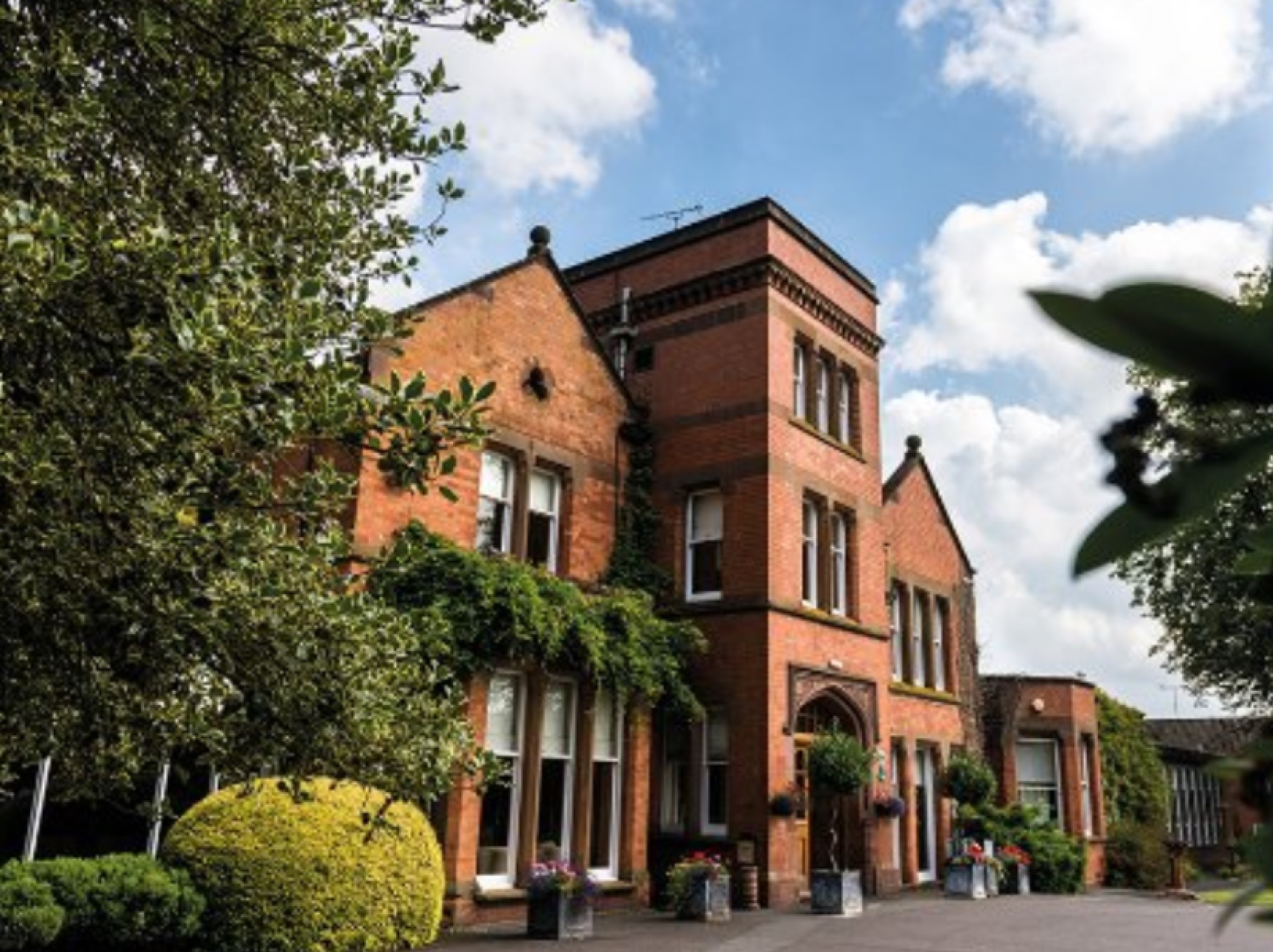
Woodside Hotel, Kenilworth

The Woodside Hotel is a building of historical significance in Kenilworth, Warwickshire, England. It was the residence of several notable people from about...
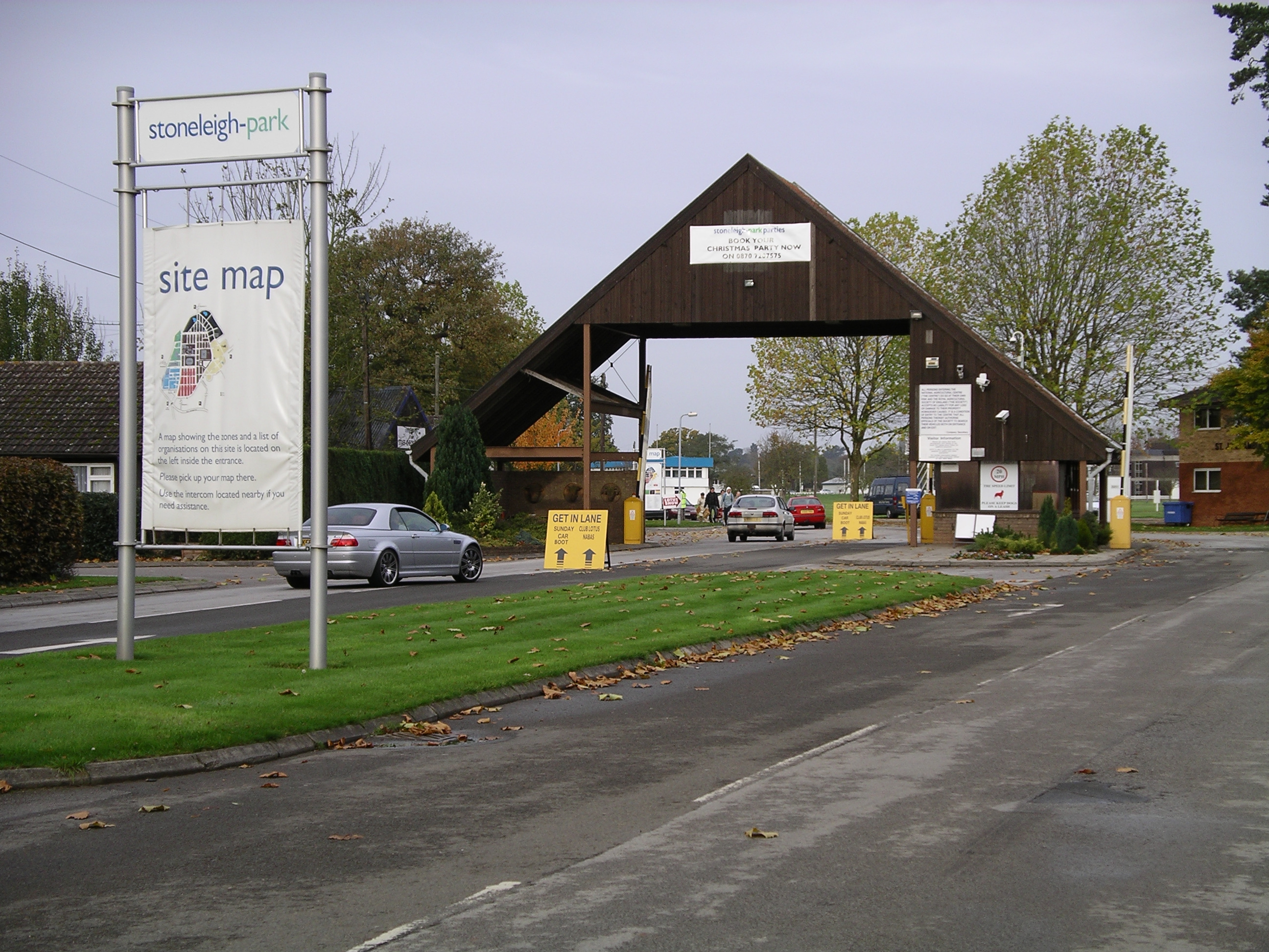
Stoneleigh Park

Stoneleigh Park, known between 1963 and 2013 as the National Agricultural Centre, is a business park located south-west of the village of Stoneleigh, Warwickshire...

Blackdown, Warwickshire

Blackdown is a hamlet and civil parish in the Warwick district of Warwickshire, England. Blackdown is about two miles north of Leamington Spa, between...

Kenilworth

Kenilworth ( KEN-il-wərth) is a market town and civil parish in the Warwick District in Warwickshire, England, 6 miles (10 km) south-west of Coventry,...

Nearby Amenities

Located within 500m of 52.331224,-1.541213
Bus Stop
Rocky Lane
Bus: yes
Naptan AtcoCode: 4200F003000
Naptan Bearing: N
Naptan BusStopType: CUS
Naptan CommonName: Rocky Lane
Naptan Indicator: Adj
Naptan NaptanCode: waradagd
Naptan Street: Rocky Lane
Naptan Verified: no
Public Transport: platform
Source: naptan_import
Lat/Long: 52.3303584/-1.5452474
Ashow
Place: village
Wikidata: Q1779783
Lat/Long: 52.3305523/-1.5455962
Pub
Ashow Club
Lat/Long: 52.3296789/-1.5439939
Barrier: kissing_gate
Lat/Long: 52.3276226/-1.5421528
Post Box
Brand: Royal Mail
Brand Wikidata: Q638098
Collection Times: Mo-Fr 16:00, Sa 08:00
Operator: Royal Mail
Operator Wikidata: Q638098
Post Box Type: lamp
Ref: CV8 217
Royal Cypher: EIIR
Royal Cypher Wikidata: Q33102113
Source: survey
Lat/Long: 52.3316976/-1.5453132
Defibrillator
Booth: K6
Covered: booth
Defibrillator Location: inside red phone box, Ashow
Disused Amenity: telephone
Emergency: defibrillator
Man Made: telephone_box
Lat/Long: 52.3306783/-1.5452906
Brand: National Grid
Brand Wikidata: Q1465461
Material: wood
Operator: National Grid Electricity Distribution
Operator Old: Western Power Distribution
Operator Wikidata: Q7988183
Owner: National Grid Electricity Distribution (East Midlands) Plc
Owner Wikidata: Q114348127
Power: pole
Lat/Long: 52.3273468/-1.5433256
The data included in this document is from www.openstreetmap.org. The data is made available under ODbL.

Have you been to Ashow?

Leave your review of Ashow below (or comments, questions and feedback).