Ashover

Civil Parish in Derbyshire North East Derbyshire

England

Ashover

Former enclosure on Harewood Moor This is one of a series of square enclosures arranged in pairs across the moor.
Former enclosure on Harewood Moor Credit: Bill Boaden

Ashover is a civil parish located in the county of Derbyshire, England. Situated in the East Midlands region, it lies approximately 9 miles west of the town of Chesterfield and covers an area of about 10 square miles. The parish is nestled in the Amber Valley district and is part of the Peak District National Park.

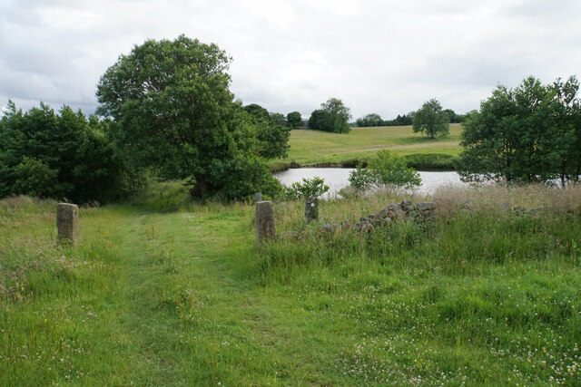
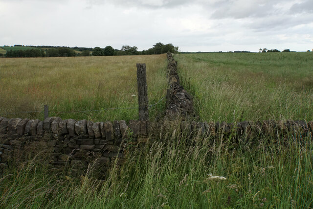
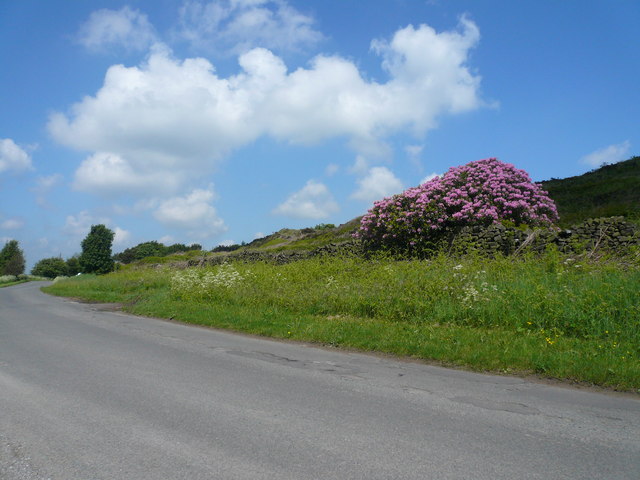
Ashover is a picturesque village that is renowned for its natural beauty and historic charm. It is surrounded by rolling countryside, with the River Amber running through the village, adding to its scenic appeal. The parish is characterized by its lush green fields, wooded areas, and traditional stone-built houses, which contribute to its rural and idyllic atmosphere.

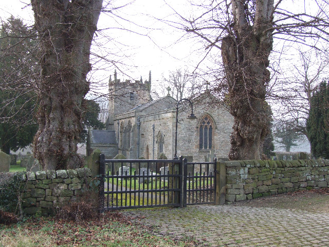
The village itself is home to several notable landmarks and attractions. One of the most prominent is All Saints Church, a Grade I listed building dating back to the 13th century. The church features a distinctive crooked spire, similar to that of Chesterfield's famous church. Additionally, Ashover also boasts a number of old mills, such as the Cocking Tor Mill and the Slipper Mill, which are reminders of its industrial past.

The community in Ashover is tight-knit, with a population of around 1,300 residents. The village has a primary school, a local pub, and a village hall that hosts various events throughout the year. The parish is also known for its annual Ashover Show, a traditional agricultural show that attracts visitors from near and far.

Overall, Ashover is a charming and scenic civil parish that offers a peaceful retreat for residents and visitors alike, with its stunning countryside, historic landmarks, and vibrant community spirit.

If you have any feedback on the listing, please let us know in the comments section below.
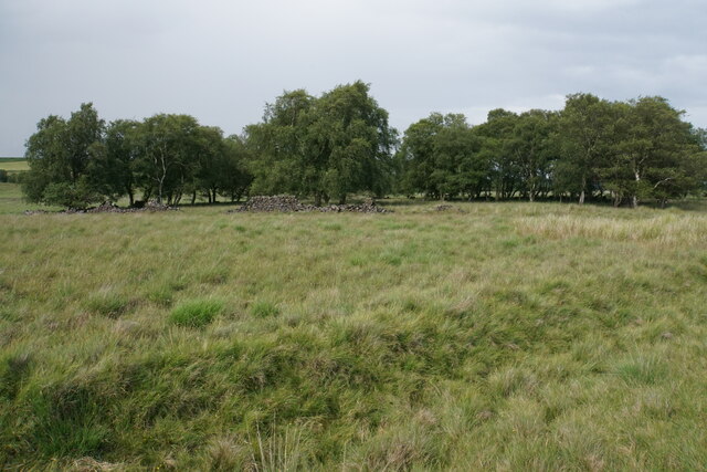
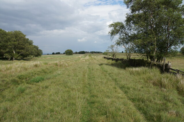
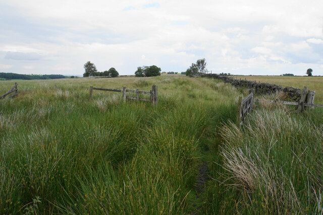
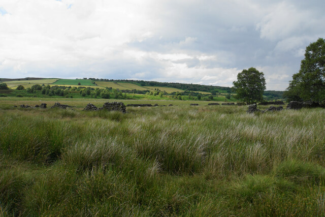
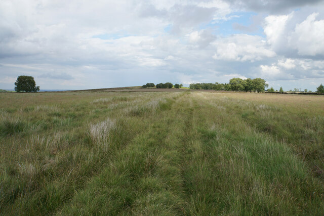
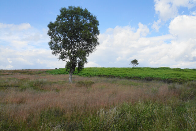
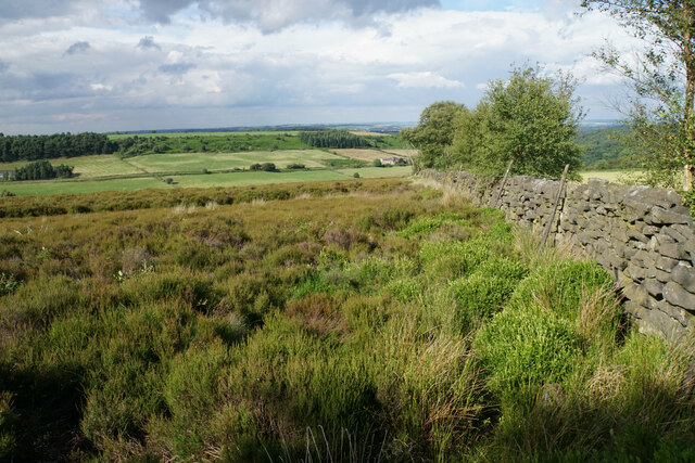
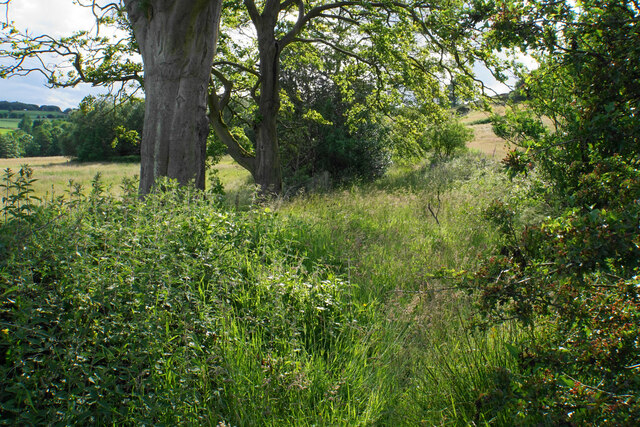
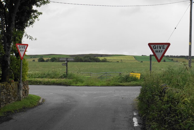
Ashover Images

Images are sourced within 2km of 53.197313/-1.551494 or Grid Reference SK3066. Thanks to Geograph Open Source API. All images are credited.

Former enclosure on Harewood Moor This is one of a series of square enclosures arranged in pairs across the moor.
Former enclosure on Harewood Moor
This is one of a series of square enclosures arranged in pairs across the moor.
Track on Harewood Moor The track continues almost entirely straight for 2 km with not much variation in view.
Track on Harewood Moor
The track continues almost entirely straight for 2 km with not much variation in view.
Gateway on Harewood Moor A soggy area on the path. The fence appears intact though the open gateway undermines its effectiveness.
Gateway on Harewood Moor
A soggy area on the path. The fence appears intact though the open gateway undermines its effectiveness.
Former enclosure on Harewood Moor The land rises behind to Beeley Moor. The southern slope which can be seen is farmed, and the wild part is out of sight behind.
Former enclosure on Harewood Moor
The land rises behind to Beeley Moor. The southern slope which can be seen is farmed, and the wild part is out of sight behind.
Track on Harewood Moor A long straight track on a nearly flat moor, which gives a sense of space.
Track on Harewood Moor
A long straight track on a nearly flat moor, which gives a sense of space.
Natural boundary on Harewood Moor The grassland gives way to bracken. The bracken is on former quarry land. The change of vegetation also marks the end of access land.
Natural boundary on Harewood Moor
The grassland gives way to bracken. The bracken is on former quarry land. The change of vegetation also marks the end of access land.
The edge of Harewood Moor This is the edge of the access land, and a rudimentary footpath is developing alongside the wall
The edge of Harewood Moor
This is the edge of the access land, and a rudimentary footpath is developing alongside the wall
Path to Roach House Farm The path uses the route of an old farm track, but clearly nobody has used it for a while. You are wading through thick undergrowth with a big squelch underneath, and no idea what you are stepping on.
Path to Roach House Farm
The path uses the route of an old farm track, but clearly nobody has used it for a while. You are wading through thick undergrowth with a big squelch underneath, and no idea what you are stepping on.
Path to Wilkin House Passing a pair of redundant gate posts. The pond is in the course of Hodgelane Brook which will form the River Amber.
Path to Wilkin House
Passing a pair of redundant gate posts. The pond is in the course of Hodgelane Brook which will form the River Amber.
Path to Wilkin House The farm stands on a rise above the developing valley of Hodgelane Brook.
Path to Wilkin House
The farm stands on a rise above the developing valley of Hodgelane Brook.
North Brittain Farm A hill farm viewed from Hodge Lane.
North Brittain Farm
A hill farm viewed from Hodge Lane.
Footpath to Screetham Lane The path cuts off the corner from Hodge Lane, but there isn't much evidence of it. However the field is reasonably easy to walk across.
Footpath to Screetham Lane
The path cuts off the corner from Hodge Lane, but there isn't much evidence of it. However the field is reasonably easy to walk across.
Footpath to Flash Lane No provision has been made for this public footpath through the growing crop.
Footpath to Flash Lane
No provision has been made for this public footpath through the growing crop.
Cattle by Screetham Lane A large plateau of rough grazing.
Cattle by Screetham Lane
A large plateau of rough grazing.
Sheep by Screetham Lane A large area of rough grazing. Roach Farm can be seen in the background.
Sheep by Screetham Lane
A large area of rough grazing. Roach Farm can be seen in the background.
Field boundary by Beeley Lane The boundary between the fields is also the boundary of the Peak District National Park, with the land on the left being in the National Park.
Field boundary by Beeley Lane
The boundary between the fields is also the boundary of the Peak District National Park, with the land on the left being in the National Park.
The end of Screetham Lane It meets Beeley Lane. The higher part of Beeley Moor is on the skyline.
The end of Screetham Lane
It meets Beeley Lane. The higher part of Beeley Moor is on the skyline.
Harland South trig point It is a bit of a scramble through bracken and heather to get here on Harland Edge, but it is worth it.
Harland South trig point
It is a bit of a scramble through bracken and heather to get here on Harland Edge, but it is worth it.
Show me another place!

Ashover is located at Grid Ref: SK3066 (Lat: 53.197313, Lng: -1.551494)

Administrative County: Derbyshire

District: North East Derbyshire

Police Authority: Derbyshire

What 3 Words

///perfect.summaries.jogged. Near Matlock, Derbyshire

Related Wikis

Nearby Amenities

Located within 500m of 53.197313,-1.551494
Give Way
Source: survey
Lat/Long: 53.1966561/-1.5469133
Give Way
Source: survey
Lat/Long: 53.1967815/-1.5472459
The data included in this document is from www.openstreetmap.org. The data is made available under ODbL.

Have you been to Ashover?

Leave your review of Ashover below (or comments, questions and feedback).