Ashow

Settlement in Warwickshire Warwick

England

Ashow

Vicarage Gardens off Rouncil Lane, Kenilworth
Vicarage Gardens off Rouncil Lane, Kenilworth Credit: Ian S

Ashow is a small village located in the county of Warwickshire, England. Situated approximately six miles southeast of the historic town of Warwick, Ashow is nestled in a rural setting surrounded by rolling hills and picturesque countryside. With a population of around 200 residents, it maintains a close-knit community atmosphere.

The village boasts a rich history, dating back to the Doomsday Book in 1086, where it is recorded as "Essehou." Throughout the years, Ashow has retained its traditional charm, with a number of well-preserved historic buildings and landmarks. Notable examples include St. Mary's Church, a beautiful Grade II listed church dating back to the 12th century, and Ashow Bridge, an ancient stone bridge spanning the River Avon.

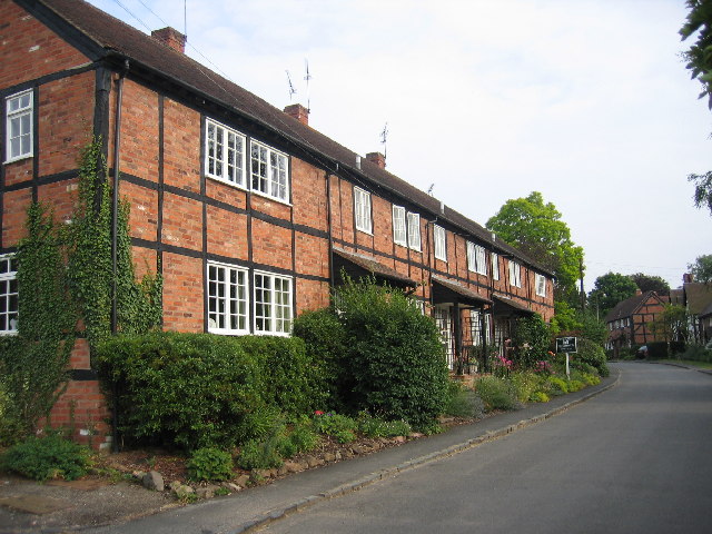
Ashow primarily consists of residential properties, with a mix of traditional thatched cottages and more modern houses. The village is also home to a handful of small businesses, including a local pub and a farm shop, providing residents with essential amenities.

The surrounding countryside offers plenty of opportunities for outdoor activities and exploration. The nearby River Avon provides a tranquil setting for walking, fishing, or simply enjoying nature. Additionally, the village is located in close proximity to Hatton Country World, a popular family attraction featuring a farm, shopping village, and various activities.

Ashow's idyllic location, rich history, and strong sense of community make it a charming place to live or visit for those seeking a peaceful retreat in the heart of Warwickshire.

If you have any feedback on the listing, please let us know in the comments section below.
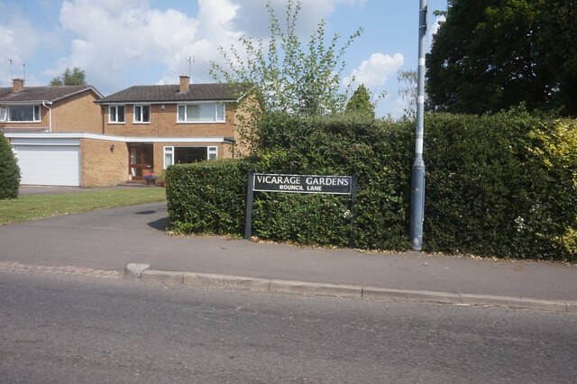
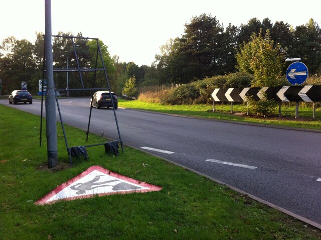
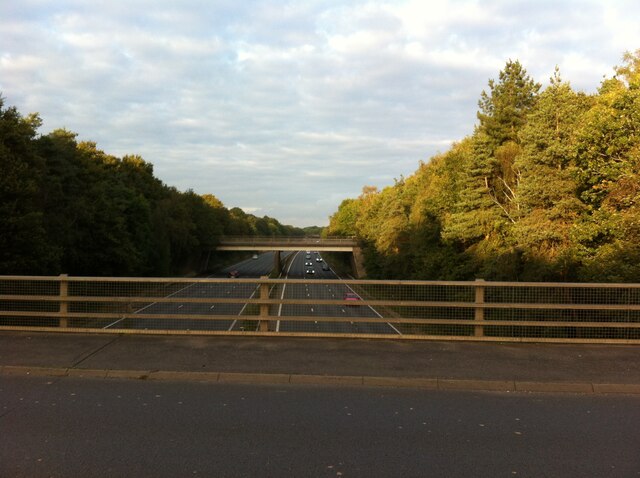
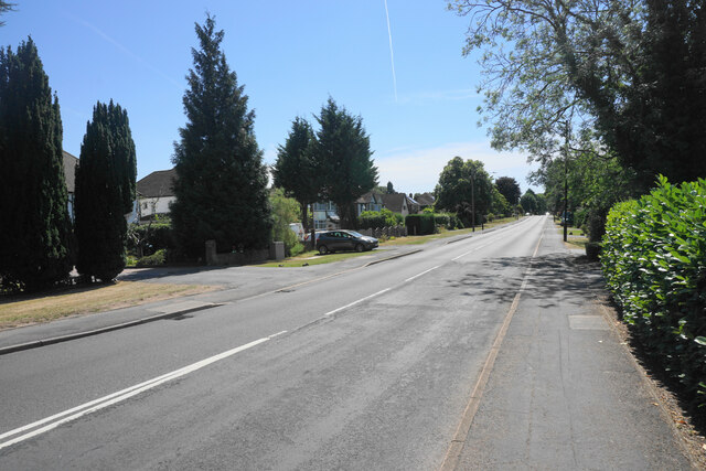
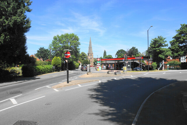
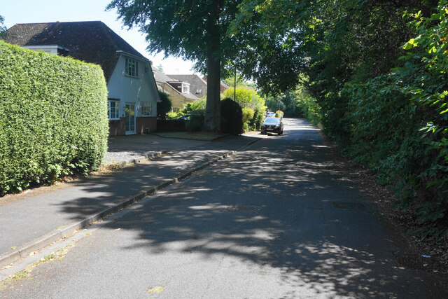
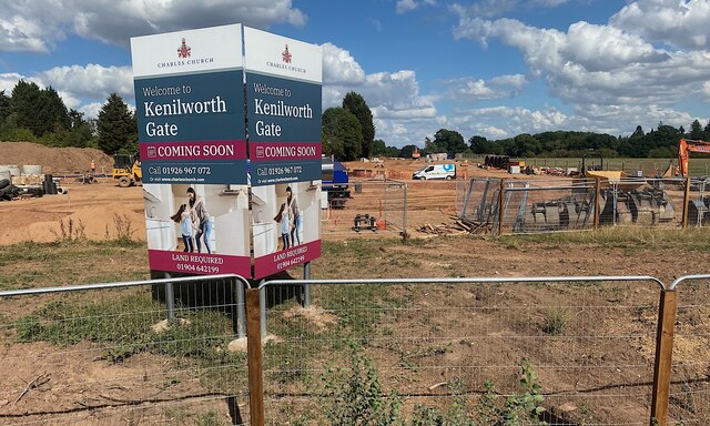
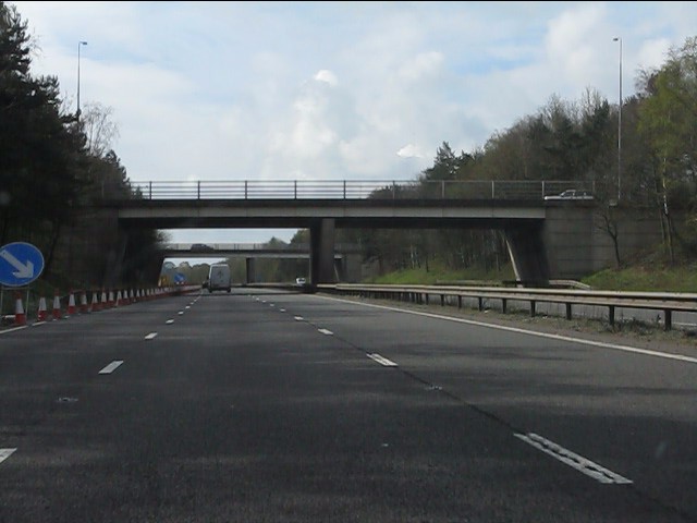
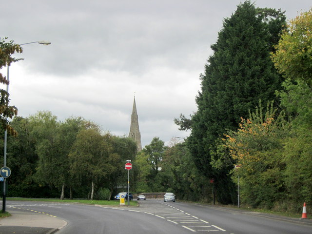
Ashow Images

Images are sourced within 2km of 52.330332/-1.545199 or Grid Reference SP3170. Thanks to Geograph Open Source API. All images are credited.

Vicarage Gardens off Rouncil Lane, Kenilworth
Roundabout at junction of A46 and A452, Kenilworth
Roundabout at junction of A46 and A452, Kenilworth We are looking to the north east, where the A46 Kenilworth Bypass cuts through Thickthorn Wood.
Roundabout at junction of A46 and A452, Kenilworth
We are looking to the north east, where the A46 Kenilworth Bypass cuts through Thickthorn Wood.
Warwick Road, Kenilworth The old main road to Warwick before the new A46 changed the local configuration. It is bounded by fairly substantial residential properties.
Warwick Road, Kenilworth
The old main road to Warwick before the new A46 changed the local configuration. It is bounded by fairly substantial residential properties.
Entering a small gyratory system in Kenilworth This is where the original roads from Leamington and Warwick met at the bottom of the high street. St John's Church is in the background.
Entering a small gyratory system in Kenilworth
This is where the original roads from Leamington and Warwick met at the bottom of the high street. St John's Church is in the background.
Ferndale Drive A quiet residential cul-de-sac. The foliage on the right provides a screen against the busy A452 which is just the other side.
Ferndale Drive
A quiet residential cul-de-sac. The foliage on the right provides a screen against the busy A452 which is just the other side.
Kenilworth extends This looks like the land that was host to the Kenilworth Horse Fair <a href="https://www.geograph.org.uk/photo/5132792">SP2970 : Riding bareback in the paddock, Kenilworth Horse Fair</a>. It is being developed for housing, branded 'Kenilworth Gate' by Charles Church.
Photo number 7566687.
Kenilworth extends
This looks like the land that was host to the Kenilworth Horse Fair SP2970 : Riding bareback in the paddock, Kenilworth Horse Fair. It is being developed for housing, branded 'Kenilworth Gate' by Charles Church. Photo number 7566687.
Penny Farthing on the Leamington Rd This cyclist didn't care tuppence for safety as he was riding his penny farthing without a helmet on the busy A452 from Leamington just outside Kenilworth.
Penny Farthing on the Leamington Rd
This cyclist didn't care tuppence for safety as he was riding his penny farthing without a helmet on the busy A452 from Leamington just outside Kenilworth.
A46 - Thickthorn junction bridges
A46 south of Thickthorn junction
Jet Garage, Kenilworth There are two garages very close to each other which is unusual for a town of this size.
Jet Garage, Kenilworth
There are two garages very close to each other which is unusual for a town of this size.
Farmland south of Kenilworth
The two bridges of A452 junction with A46
A452 Leamington Road Approaching Kenilworth
The A452 roundabout above the A46
Arden Road, Windy Arbour
Windy Arbour News
Windy Arbour News
The A46 Warwick by pass
Show me another place!

Ashow is located at Grid Ref: SP3170 (Lat: 52.330332, Lng: -1.545199)

Administrative County: Warwickshire

District: Warwick

Police Authority: Warwickshire

What 3 Words

///clips.caged.stocks. Near Leek Wootton, Warwickshire

Nearby Locations

Ashow Ashow The Grove

Related Wikis

Stoneleigh Abbey

Stoneleigh Abbey is an English country house and estate situated south of Coventry. Nearby is the village of Stoneleigh, Warwickshire. The Abbey itself...

Ashow

Ashow is a small village and civil parish in the Warwick district of Warwickshire, England, about 2.5 miles (4 km) south-east of central Kenilworth. According...

Stoneleigh Abbey Gatehouse

Stoneleigh Abbey Gatehouse is the 14th century gatehouse to the medieval Stoneleigh Abbey which was established near Stoneleigh, Warwickshire in the 12th...

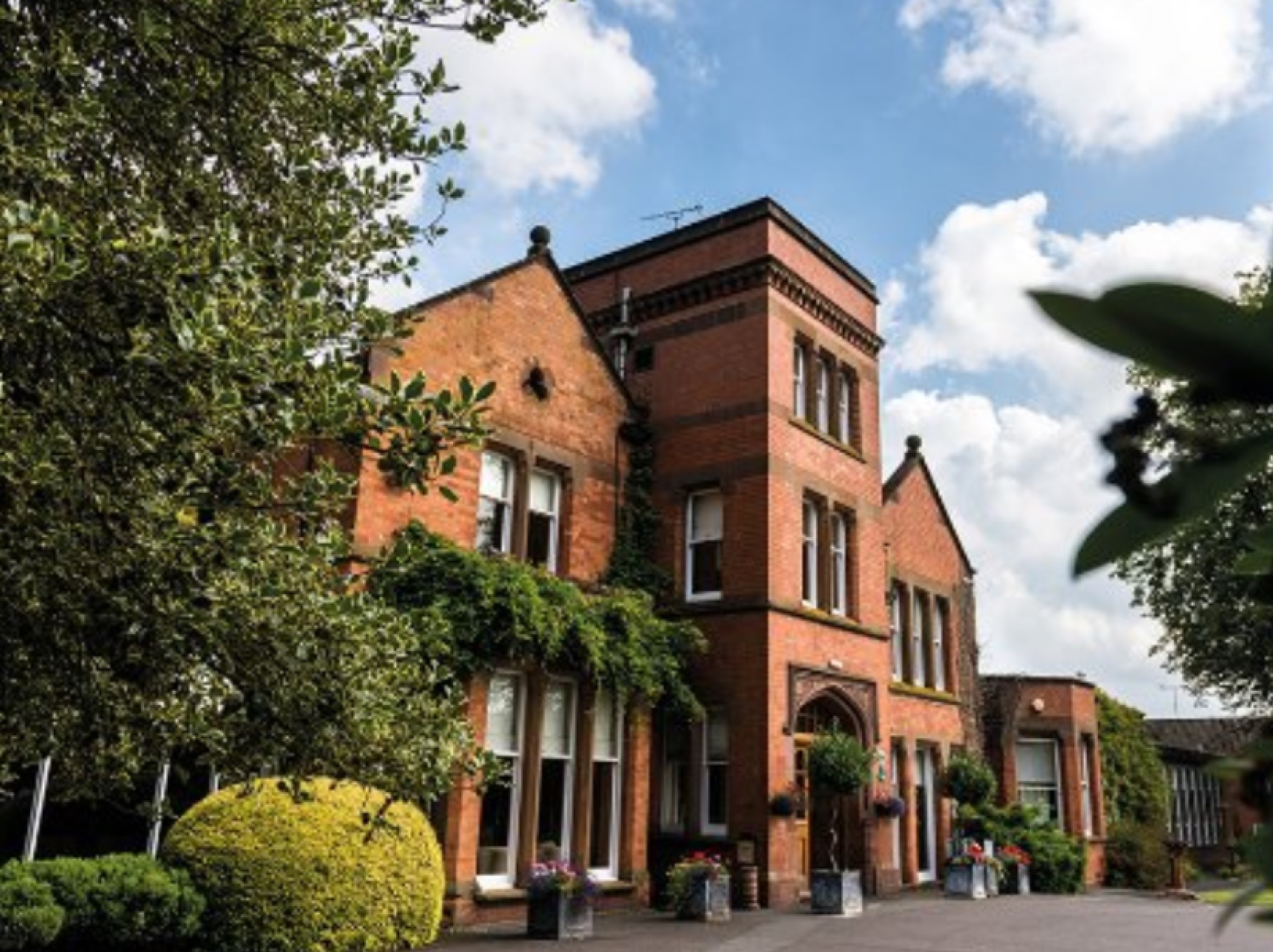
Woodside Hotel, Kenilworth

The Woodside Hotel is a building of historical significance in Kenilworth, Warwickshire, England. It was the residence of several notable people from about...

Blackdown, Warwickshire

Blackdown is a hamlet and civil parish in the Warwick district of Warwickshire, England. Blackdown is about two miles north of Leamington Spa, between...

Rare Breeds Survival Trust

The Rare Breeds Survival Trust is a conservation charity whose purpose is to secure the continued existence and viability of the native farm animal genetic...

Kenilworth

Kenilworth ( KEN-il-wərth) is a market town and civil parish in the Warwick District in Warwickshire, England, 6 miles (10 km) south-west of Coventry,...
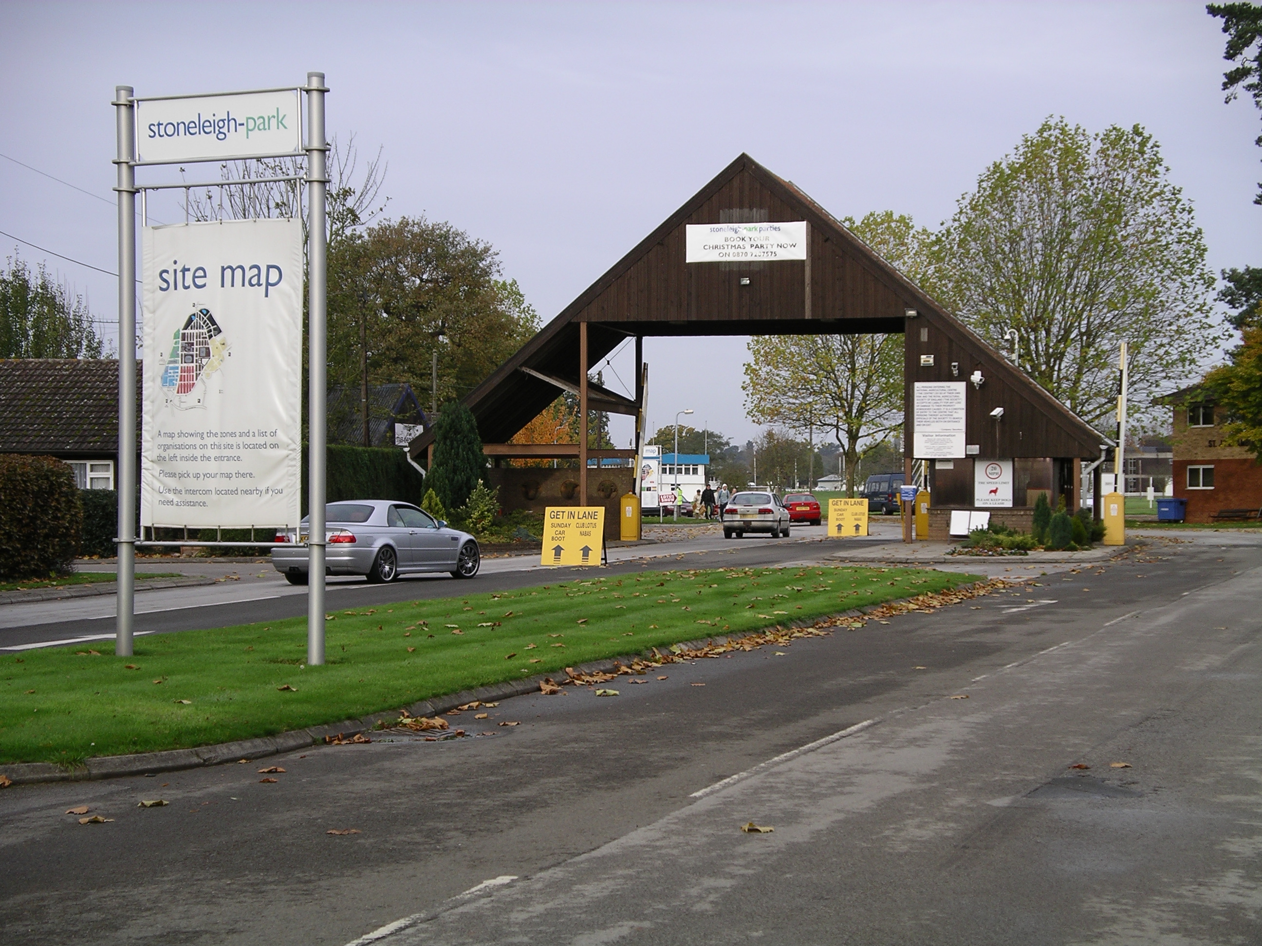
Stoneleigh Park

Stoneleigh Park, known between 1963 and 2013 as the National Agricultural Centre, is a business park located south-west of the village of Stoneleigh, Warwickshire...

Nearby Amenities

Located within 500m of 52.330332,-1.545199
Bus Stop
Rocky Lane
Bus: yes
Naptan AtcoCode: 4200F003000
Naptan Bearing: N
Naptan BusStopType: CUS
Naptan CommonName: Rocky Lane
Naptan Indicator: Adj
Naptan NaptanCode: waradagd
Naptan Street: Rocky Lane
Naptan Verified: no
Public Transport: platform
Source: naptan_import
Lat/Long: 52.3303584/-1.5452474
Ashow
Place: village
Wikidata: Q1779783
Lat/Long: 52.3305523/-1.5455962
Pub
Ashow Club
Lat/Long: 52.3296789/-1.5439939
Barrier: kissing_gate
Lat/Long: 52.3265182/-1.5423422
Barrier: kissing_gate
Lat/Long: 52.3266558/-1.5423545
Barrier: kissing_gate
Lat/Long: 52.3276226/-1.5421528
Post Box
Brand: Royal Mail
Brand Wikidata: Q638098
Collection Times: Mo-Fr 16:00, Sa 08:00
Operator: Royal Mail
Operator Wikidata: Q638098
Post Box Type: lamp
Ref: CV8 217
Royal Cypher: EIIR
Royal Cypher Wikidata: Q33102113
Source: survey
Lat/Long: 52.3316976/-1.5453132
Bericote Farm Airstrip
Addr City: Blackdown / Ashow
Aeroway: airstrip
Lat/Long: 52.3273639/-1.5479429
Defibrillator
Booth: K6
Covered: booth
Defibrillator Location: inside red phone box, Ashow
Disused Amenity: telephone
Emergency: defibrillator
Man Made: telephone_box
Lat/Long: 52.3306783/-1.5452906
Brand: National Grid
Brand Wikidata: Q1465461
Material: wood
Operator: National Grid Electricity Distribution
Operator Old: Western Power Distribution
Operator Wikidata: Q7988183
Owner: National Grid Electricity Distribution (East Midlands) Plc
Owner Wikidata: Q114348127
Power: pole
Lat/Long: 52.3264567/-1.5431905
Brand: National Grid
Brand Wikidata: Q1465461
Material: wood
Operator: National Grid Electricity Distribution
Operator Old: Western Power Distribution
Operator Wikidata: Q7988183
Owner: National Grid Electricity Distribution (East Midlands) Plc
Owner Wikidata: Q114348127
Power: pole
Lat/Long: 52.3273468/-1.5433256
Colour: yellow
Marker: post
Material: plastic
Utility: gas
Lat/Long: 52.3313038/-1.5508621
Colour: red and white
Marker: aerial
Material: plastic
Utility: gas
Lat/Long: 52.3313819/-1.5509389
The data included in this document is from www.openstreetmap.org. The data is made available under ODbL.

Have you been to Ashow?

Leave your review of Ashow below (or comments, questions and feedback).