Ashover Hay

Settlement in Derbyshire North East Derbyshire

England

Ashover Hay

Butterley Lane A narrow part of the lane with poor visibility as it passes Reservoir Farm. It is viewed in rain.
Butterley Lane Credit: Bill Boaden

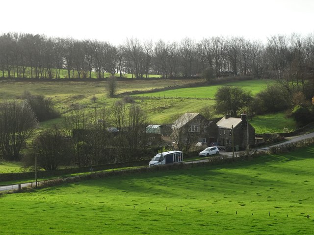
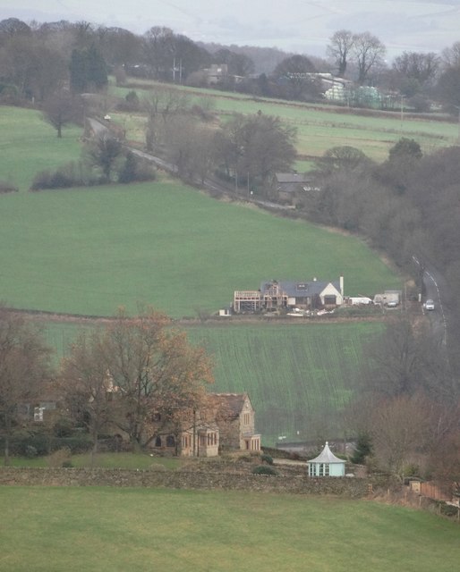
Ashover Hay is a small village located in the county of Derbyshire, England. Situated within the picturesque Peak District National Park, it is surrounded by rolling hills and stunning natural beauty. The village is part of the larger civil parish of Ashover and is nestled in the Amber Valley district.

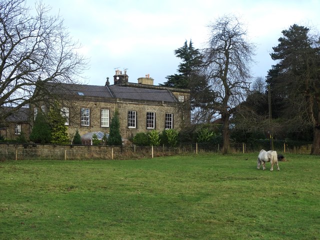
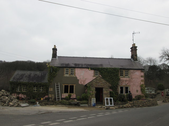
Ashover Hay is known for its charming rural atmosphere and tranquil surroundings. It has a relatively small population, with a mix of both permanent residents and holiday homes. The village is characterized by its traditional stone-built houses and buildings, which add to its rustic charm.

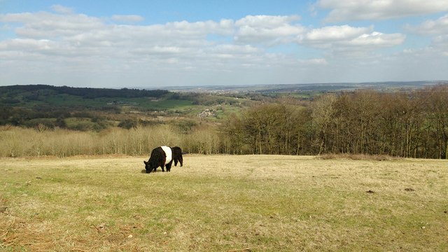
The village is surrounded by lush green fields, ideal for walking and exploring the countryside. The nearby Ashover Rock, a prominent gritstone outcrop, offers breathtaking views of the surrounding area. The village is also home to the popular Ashover Show, an annual agricultural event that attracts visitors from far and wide.

Despite its small size, Ashover Hay has a sense of community spirit. It has a local pub, The Crispin Inn, where villagers and visitors can socialize and enjoy traditional pub food. The village also has a church, St. Mark's, which dates back to the 13th century and adds to the historical significance of the area.

Overall, Ashover Hay is a peaceful and idyllic village that offers a chance to escape the hustle and bustle of city life. Its natural beauty, friendly community, and historic charm make it a desirable destination for those seeking a tranquil retreat in the heart of Derbyshire.

If you have any feedback on the listing, please let us know in the comments section below.
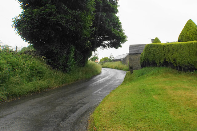
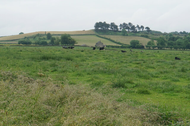
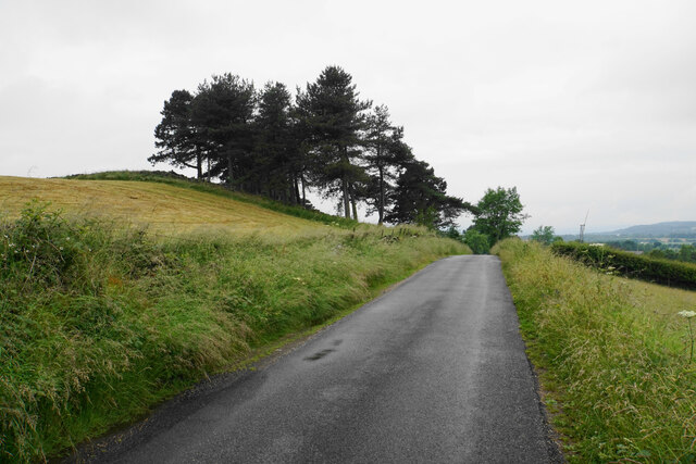
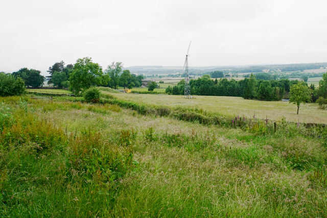
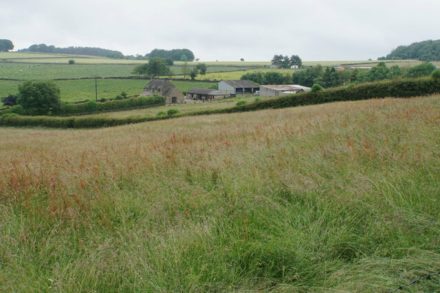
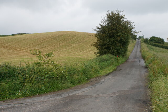
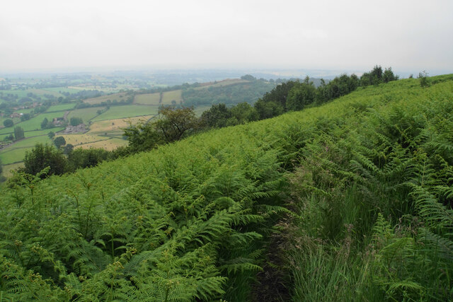
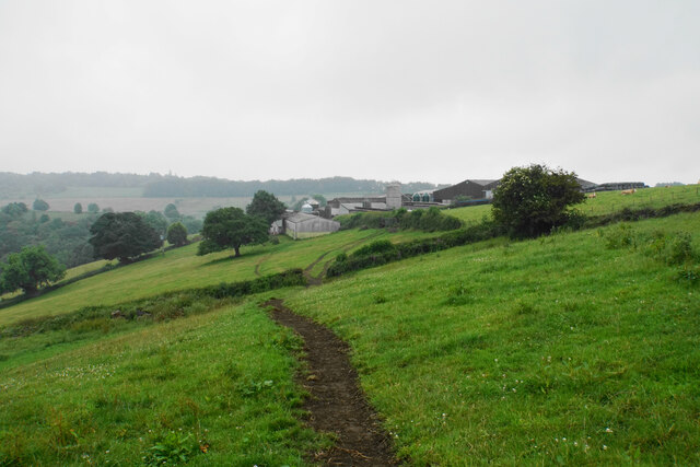
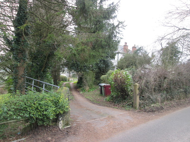
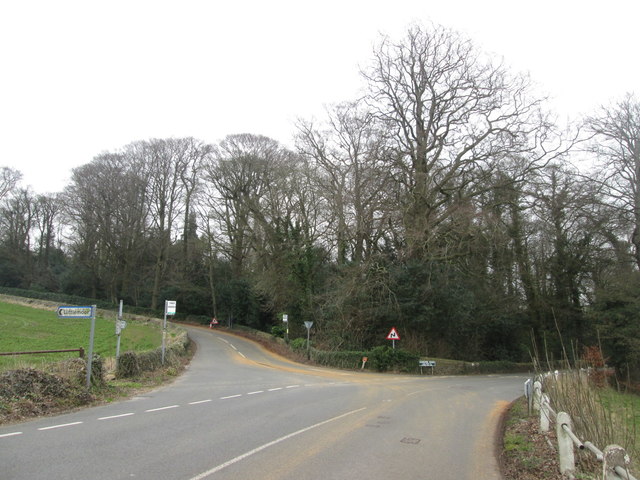
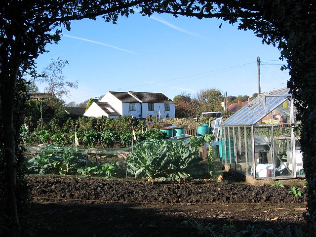
Ashover Hay Images

Images are sourced within 2km of 53.140457/-1.470762 or Grid Reference SK3560. Thanks to Geograph Open Source API. All images are credited.

Butterley Lane A narrow part of the lane with poor visibility as it passes Reservoir Farm. It is viewed in rain.
Butterley Lane
A narrow part of the lane with poor visibility as it passes Reservoir Farm. It is viewed in rain.
Rough grassland by Butterley Lane This appears to be a field which has not had any recent use, and has reverted to moorland grass. The rain adds to the moorland atmosphere.
Rough grassland by Butterley Lane
This appears to be a field which has not had any recent use, and has reverted to moorland grass. The rain adds to the moorland atmosphere.
Cattle near Holestone Farm Blakelow Hill is only a small hill but still stands quite impressively behind the farm.
Cattle near Holestone Farm
Blakelow Hill is only a small hill but still stands quite impressively behind the farm.
Allen Lane On the top of Blakelow Hill.
Allen Lane
On the top of Blakelow Hill.
Access land on Blakelow Hill There is a small plot of access land on the western side of Blakelow Hill but it appears to be impenetrable scrub and there is no obvious way into it. The wind turbine belongs to Blakelow Farm which is in the trees.
Access land on Blakelow Hill
There is a small plot of access land on the western side of Blakelow Hill but it appears to be impenetrable scrub and there is no obvious way into it. The wind turbine belongs to Blakelow Farm which is in the trees.
The northern side of Blakelow Farm Looking down towards Holestone Farm.
The northern side of Blakelow Farm
Looking down towards Holestone Farm.
Allen Lane Heading towards Tansley Moor and initially passing Blakelow Hill.
Allen Lane
Heading towards Tansley Moor and initially passing Blakelow Hill.
Path to Ravensnest Tor There is a big steep drop to the left, but because of the foliage you don't see much.
Path to Ravensnest Tor
There is a big steep drop to the left, but because of the foliage you don't see much.
Path south from Ravensnest Tor This is the point at which the path emerges from the woodland and you get a view, or you would if it were not a wet misty day.
Path south from Ravensnest Tor
This is the point at which the path emerges from the woodland and you get a view, or you would if it were not a wet misty day.
Butterley Top Farm Situated on top of the edge. Visibility is not so good on this wet day.
Butterley Top Farm
Situated on top of the edge. Visibility is not so good on this wet day.
A view of Butterley
A view of Butterley
View to Ashover Hay From Highoredish Ridge
View to Ashover Hay
From Highoredish Ridge
Overton Hall from Gin Lane
Work in progress at Fallgate This used to be The Nettle Inn, and before that The Greyhound. Now being converted to housing
Work in progress at Fallgate
This used to be The Nettle Inn, and before that The Greyhound. Now being converted to housing
Isolated house near Dicklant
Road junction near Dalebank
Galloway cattle in a field above Ravensnest Wood
Cattle grazing, Butterley
Show me another place!

Ashover Hay is located at Grid Ref: SK3560 (Lat: 53.140457, Lng: -1.470762)

Administrative County: Derbyshire

District: North East Derbyshire

Police Authority: Derbyshire

What 3 Words

///classmate.tugging.dollar. Near Tansley, Derbyshire

Nearby Locations

Hole Wood Ashover Hay

Related Wikis

Milltown Methodist Church

Milltown Methodist Church (known alternatively as Milltown Chapel, Milltown Primitive Methodist Chapel and Ashover Hay Primitive Methodist Chapel) is a...

Dale Bank railway station

Dale Bank railway station served the hamlet of Dalebank, Derbyshire, England, from 1925 to 1936 on the Ashover Light Railway. == History == The station...

Milltown, Derbyshire

Milltown is a village in Derbyshire, England. It is located 1 mile south east of Ashover and is part of Ashover civil parish. To the north of the village...

Milltown railway station (Derbyshire)

Milltown railway station served the village of Milltown, Derbyshire, England, from 1925 to 1936 on the Ashover Light Railway. == History == The station...

Woolley railway station

Woolley railway station was a small station on the Ashover Light Railway and it served the small village of Woolley Moor in North East Derbyshire, England...

Ashover Light Railway

The Ashover Light Railway was a 1 ft 11+1⁄2 in (597 mm) narrow gauge railway in Derbyshire, England that connected Clay Cross and Ashover. It was built...

Fallgate railway station

Fallgate railway station co-served the village of Milltown, Derbyshire, England, from 1925 to 1936 on the Ashover Light Railway. == History == The station...

Woolley Moor

Woolley Moor is a small village in the North East Derbyshire district of Derbyshire, England. Its amenities include a school, a church and a public house...

Nearby Amenities

Located within 500m of 53.140457,-1.470762
Ashover Hay
Is In: Derbyshire, England, UK
Place: village
Lat/Long: 53.1423312/-1.4671003
Barrier: stile
Steps: 2
Stile: wall
Lat/Long: 53.1429849/-1.4667284
Barrier: stile
Steps: 1
Stile: wall
Lat/Long: 53.1417786/-1.4648696
Barrier: stile
Steps: 2
Stile: stepover
Lat/Long: 53.1410392/-1.4645531
Ele: 240.6939697
Lat/Long: 53.1419876/-1.4777867
Ele: 234.4454346
Lat/Long: 53.1418946/-1.4773084
Ele: 233.7243652
Lat/Long: 53.1416854/-1.4765855
Ele: 222.9097900
Lat/Long: 53.1417931/-1.4758943
Ele: 216.1805420
Lat/Long: 53.1418617/-1.4754111
Ele: 212.5755615
Lat/Long: 53.1412627/-1.4742155
Ele: 209.9320068
Note: No gate here any more
Lat/Long: 53.1408848/-1.4743743
Ele: 196.9543457
Information: board
Tourism: information
Lat/Long: 53.1382366/-1.4748115
Ele: 196
Lat/Long: 53.1382251/-1.4748117
Barrier: stile
Ele: 196
Material: stone
Stile: squeezer
Lat/Long: 53.1382298/-1.4747988
Ford: yes
Lat/Long: 53.1386649/-1.4731286
Ele: 189
Lat/Long: 53.1385507/-1.4732752
Ele: 187
Lat/Long: 53.1389235/-1.4722467
Barrier: stile
Stile: squeezer
Lat/Long: 53.1373396/-1.4678409
Ele: 188
Lat/Long: 53.1385138/-1.4655741
Ele: 188
Lat/Long: 53.1386755/-1.4671254
Ele: 210.0000000
Lat/Long: 53.1410671/-1.4672089
Barrier: stile
Ele: 215.0000000
Steps: 1
Stile: wall
Lat/Long: 53.1413044/-1.4673759
Ele: 221.0000000
Lat/Long: 53.1420204/-1.4674267
Ele: 224.0000000
Lat/Long: 53.142675/-1.4677405
Ele: 211.0000000
Lat/Long: 53.1437073/-1.4678852
Barrier: stile
Ele: 207.0000000
Material: stone
Stile: squeezer
Lat/Long: 53.144003/-1.4679495
Barrier: stile
Ele: 162.0000000
Steps: 4
Stile: wall
Lat/Long: 53.1442629/-1.4710647
Barrier: stile
Steps: 1
Stile: stepover
Lat/Long: 53.1384758/-1.4651956
Barrier: stile
Material: stone
Source: survey;gps
Stile: squeezer
Lat/Long: 53.1379969/-1.4755376
The data included in this document is from www.openstreetmap.org. The data is made available under ODbL.

Have you been to Ashover Hay?

Leave your review of Ashover Hay below (or comments, questions and feedback).