Ashperton
Civil Parish in Herefordshire
England
Ashperton
Ashperton is a civil parish located in the county of Herefordshire, England. Situated approximately 9 miles northwest of the city of Hereford, it covers an area of about 7.5 square miles. The parish is primarily rural, with a population of around 400 residents.
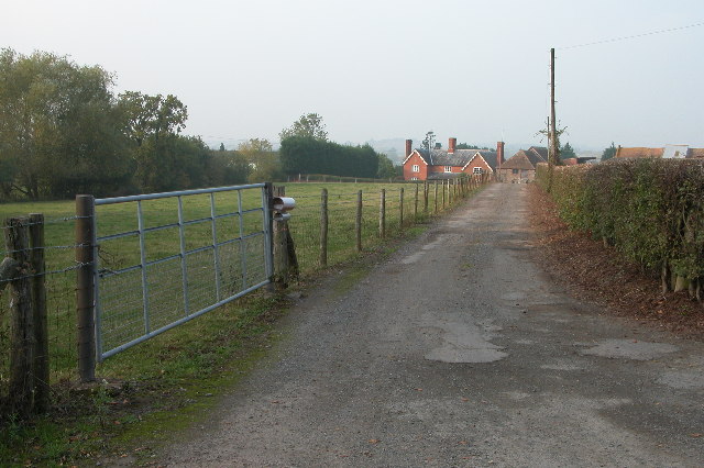
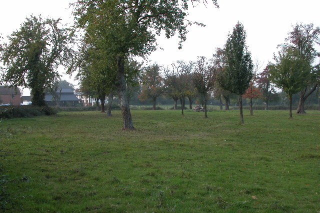
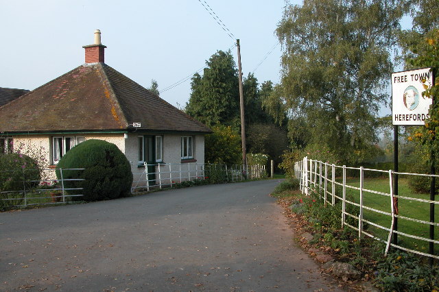
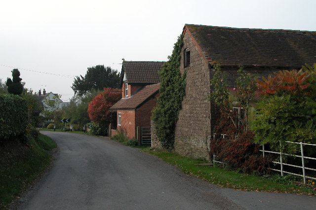
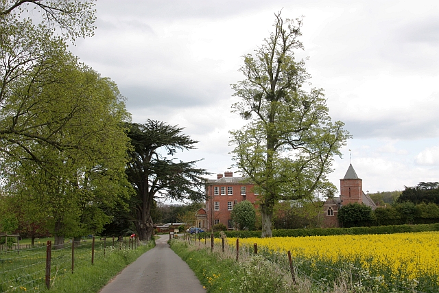
The village of Ashperton itself is small and charming, consisting of a scattering of houses and farms. It is surrounded by picturesque countryside, characterized by rolling hills, meandering rivers, and lush green fields. The parish is part of the Herefordshire Black and White Village Trail, known for its historic timber-framed buildings.
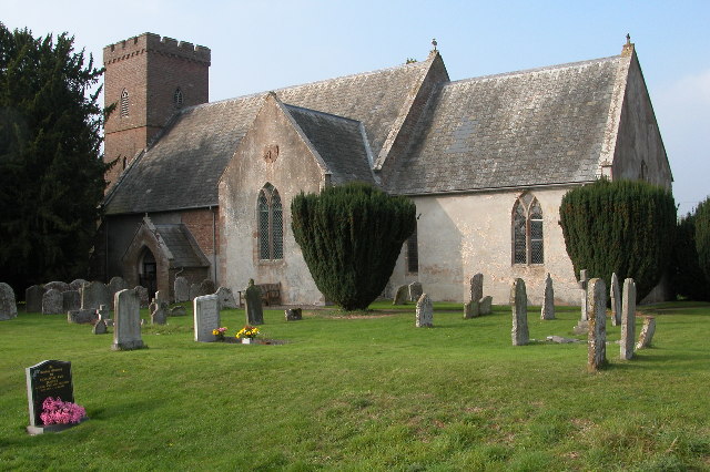
A prominent feature of Ashperton is St. Bartholomew's Church, a Grade II listed building dating back to the 12th century. The church's architecture showcases a blend of Norman and Gothic styles, and its interior houses several notable medieval tombs and monuments.
The local economy is primarily based on agriculture, with many residents involved in farming and related industries. The parish is known for its fertile soil, which supports a variety of crops and livestock. The village also has a local pub, providing a social hub for residents and visitors alike.
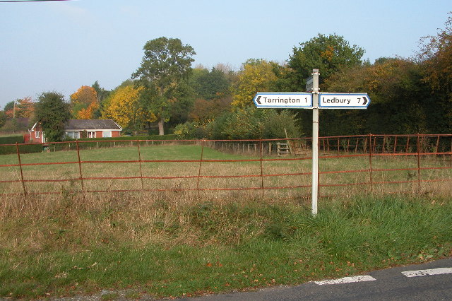
Ashperton benefits from its proximity to the city of Hereford, which offers a range of amenities such as schools, shops, and healthcare facilities. The parish is well-connected to surrounding areas via road links, making it easily accessible to visitors and commuters.
In summary, Ashperton, Herefordshire is a tranquil and picturesque civil parish, offering a rural lifestyle and a close-knit community in the heart of England's countryside.
If you have any feedback on the listing, please let us know in the comments section below.
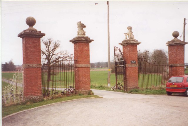
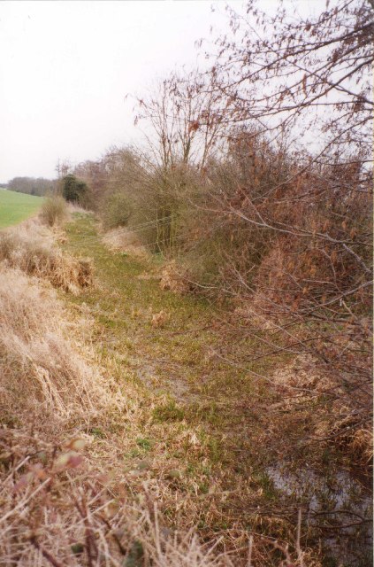
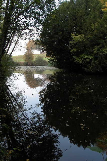
Ashperton Images
Images are sourced within 2km of 52.074679/-2.523017 or Grid Reference SO6441. Thanks to Geograph Open Source API. All images are credited.


Ashperton is located at Grid Ref: SO6441 (Lat: 52.074679, Lng: -2.523017)
Unitary Authority: County of Herefordshire
Police Authority: West Mercia
What 3 Words
///carry.rentals.strapping. Near Ocle Pychard, Herefordshire
Nearby Locations
Related Wikis

Ashperton
Ashperton is a small village, parish and former manor about twelve miles east of the City of Hereford, in Herefordshire, England. The village is on the...
Canon Frome
Canon Frome is a hamlet and small rural parish on the River Frome, 5 miles northwest of Ledbury, Herefordshire, England with a population of 139. Its most...

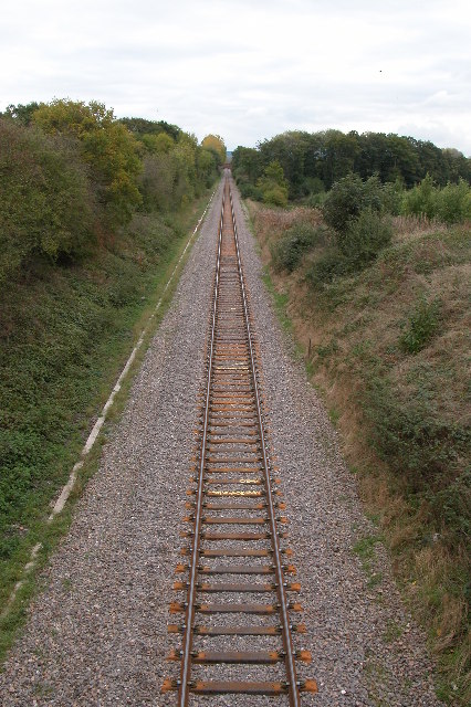
Ashperton railway station
Ashperton railway station was a railway station serving the village of Ashperton in Herefordshire, England. It was located on what is now known as the...

Stretton Grandison
Stretton Grandison is a hamlet and small civil parish in Herefordshire, England. The population of the civil parish at the 2011 census was 175.It is on...
Nearby Amenities
Located within 500m of 52.074679,-2.523017Have you been to Ashperton?
Leave your review of Ashperton below (or comments, questions and feedback).