Arthingworth
Civil Parish in Northamptonshire
England
Arthingworth

Arthingworth is a civil parish located in the county of Northamptonshire, England. Situated approximately 7 miles northeast of Market Harborough, it is a rural village surrounded by picturesque countryside.
The parish covers an area of around 1,200 acres and is home to a small population of approximately 200 residents. The village itself is characterized by its traditional stone-built houses, giving it a timeless and charming appearance.
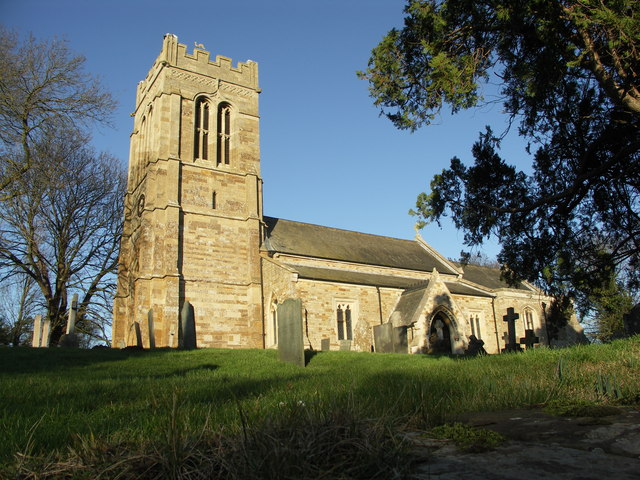
Arthingworth is known for its rich history, with evidence of human presence in the area dating back to the Iron Age. The village was mentioned in the Domesday Book of 1086, highlighting its long-standing heritage. The local St. Andrew's Church, a Grade II listed building, is a prominent feature of the village, showcasing its architectural significance.
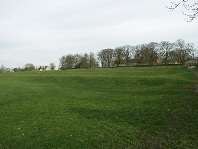
The village offers a peaceful and tranquil environment, making it an ideal place for those seeking a rural retreat. Surrounded by rolling hills and open fields, Arthingworth is popular among nature lovers and outdoor enthusiasts. The nearby Kelmarsh Hall and Gardens provide opportunities for leisurely walks and exploration.
Although a small community, Arthingworth is well-served by amenities such as a village hall and a local pub, offering a sense of community and opportunities for socializing. The village also benefits from excellent transport links, with easy access to the A14 and nearby railway stations, connecting it to larger towns and cities in the region.
In summary, Arthingworth is a picturesque and historic village nestled in the Northamptonshire countryside. With its charming architecture, natural beauty, and strong sense of community, it offers a tranquil and idyllic place to live or visit.
If you have any feedback on the listing, please let us know in the comments section below.
Arthingworth Images
Images are sourced within 2km of 52.428887/-0.894339 or Grid Reference SP7581. Thanks to Geograph Open Source API. All images are credited.


Arthingworth is located at Grid Ref: SP7581 (Lat: 52.428887, Lng: -0.894339)
Unitary Authority: West Northamptonshire
Police Authority: Northamptonshire
What 3 Words
///slugs.toads.sums. Near Desborough, Northamptonshire
Nearby Locations
Related Wikis
Arthingworth
Arthingworth is a civil parish and village in the West Northamptonshire area of the county of Northamptonshire, England. The population of the civil parish...
St Andrew's Church, Arthingworth
St Andrew's Church is an Anglican Church and the parish church of Arthingworth. It is a Grade II* listed building and stands on the north side of Braybrooke...
Arthingworth Manor
Arthingworth Manor is a Grade II listed country house in Arthingworth, Northamptonshire, England, about 5 miles (8.0 km) southeast of Market Harborough...
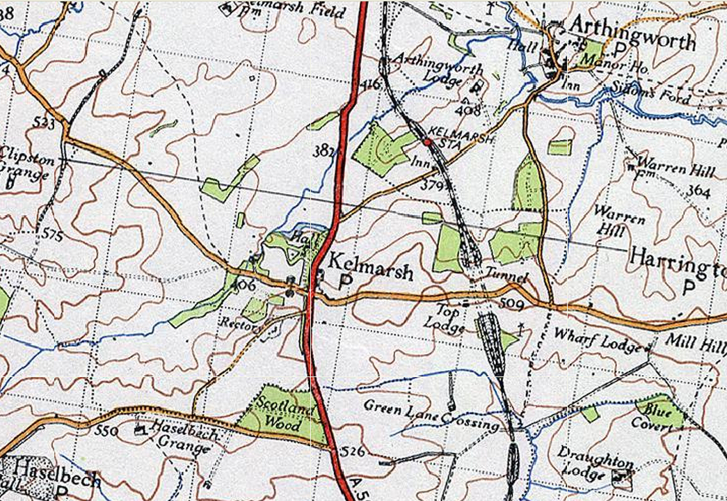
Kelmarsh railway station
Kelmarsh railway station on the Northampton and Market Harborough railway opened on 16 February 1859 serving the villages of Kelmarsh and Arthingworth...

Braybrooke
Braybrooke is a small village in north west Northamptonshire, England. The population of the civil parish at the 2011 census was 378. It is situated about...

Clipston and Oxendon railway station
Clipston and Oxendon railway station on the Northampton and Market Harborough railway opened in 1863 as a result of villagers' requests serving the villages...
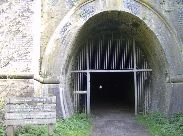
Oxendon Tunnels
The Oxendon Tunnels are disused railway tunnels in Northamptonshire, England. The Northampton to Market Harborough line opened in 1859 and had tunnels...

Great Oxendon
Great Oxendon is a linear village and civil parish in West Northamptonshire in England. At the time of the 2001 census, the parish's population was 307...
Nearby Amenities
Located within 500m of 52.428887,-0.894339Have you been to Arthingworth?
Leave your review of Arthingworth below (or comments, questions and feedback).