Arthuret
Civil Parish in Cumberland Carlisle
England
Arthuret

Arthuret is a civil parish located in the county of Cumberland, in the northwestern part of England. It is situated near the border with Scotland, in the historic region of the Western Marches. The parish covers an area of approximately 25 square kilometers and is home to a population of around 1,000 residents.
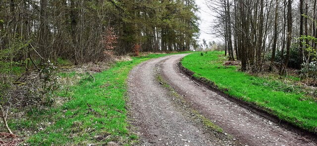
The landscape of Arthuret is characterized by rolling hills, open fields, and picturesque countryside. The River Esk flows through the parish, providing a scenic element to the area. The village of Longtown is the main settlement within the parish, serving as a hub for local amenities and services.
Arthuret has a rich history that dates back centuries. The area was once a strategically important location during the Wars of the Roses and the Anglo-Scottish conflicts. The remains of several ancient castles and fortresses can still be found in the parish, offering a glimpse into its historical significance.
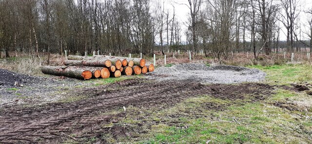
Today, Arthuret is primarily an agricultural community, with farming playing a vital role in the local economy. The parish is known for its productive agricultural land, which supports a variety of crops and livestock. Additionally, there are a few small businesses and shops in Longtown that cater to the needs of residents and visitors.
Arthuret offers a peaceful and scenic environment, making it an attractive destination for nature lovers and outdoor enthusiasts. The parish's proximity to the Scottish border also provides opportunities for cross-border exploration and cultural exchange.
If you have any feedback on the listing, please let us know in the comments section below.
Arthuret Images
Images are sourced within 2km of 55.015836/-2.924446 or Grid Reference NY4069. Thanks to Geograph Open Source API. All images are credited.


Arthuret is located at Grid Ref: NY4069 (Lat: 55.015836, Lng: -2.924446)
Administrative County: Cumbria
District: Carlisle
Police Authority: Cumbria
What 3 Words
///producers.lordship.fuzzy. Near Longtown, Cumbria
Nearby Locations
Related Wikis

Battle of Arfderydd
The Battle of Arfderydd (also known as Arderydd) was fought in medieval Britain in AD 573, according to the Annales Cambriae. The opposing armies are identified...

Arthuret
Arthuret is a civil parish in the Carlisle district of Cumbria, England. According to the 2001 census it had a population of 2,434, increasing to 2,471...
RAF Longtown
Royal Air Force Longtown or more simply RAF Longtown is a former Royal Air Force satellite station located 2 miles (3.2 km) east of Longtown, Cumbria and...

Longtown, Cumbria
Longtown is a market town in Cumbria, England, just south of the Scottish Border. It has a sheep market which was at the centre of the 2001 United Kingdom...

Coop House, Netherby
Coop House, near Netherby in Cumbria, England, is a small building by the River Esk, erected about 1772 as part of a salmon fishery project, and restored...

Longtown railway station
Longtown railway station served the town of Longtown, Cumbria, England, from 1861 to 1970 on the Waverley Route. == History == The station opened on 29...

Carwinley
Carwinley is a hamlet in Cumbria, England, located on the border with Scotland. It was first mentioned in 1202 as Karwindelhov.The ancient monument of...
Brackenhill Tower
Brackenhill Tower is a peel tower, in the parish of Arthuret, in Cumbria, just north of the River Lyne. The site is about 2 miles (3.2 km) north of Kirklinton...
Nearby Amenities
Located within 500m of 55.015836,-2.924446Have you been to Arthuret?
Leave your review of Arthuret below (or comments, questions and feedback).