Arrathorne
Civil Parish in Yorkshire Richmondshire
England
Arrathorne
Arrathorne is a small civil parish located in the county of Yorkshire, England. Situated approximately 3 miles northwest of the town of Bedale, it forms a part of the Richmondshire district. The parish covers an area of around 5 square miles and is home to a population of approximately 100 residents.
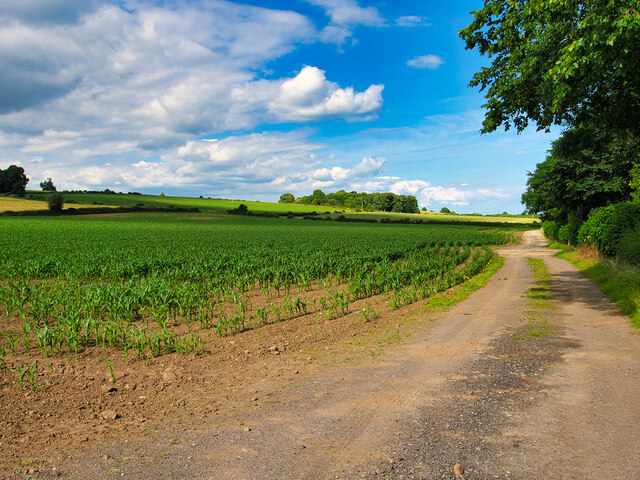
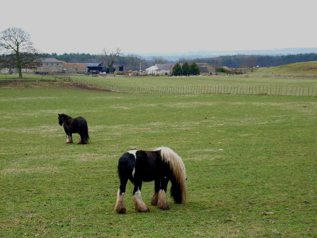
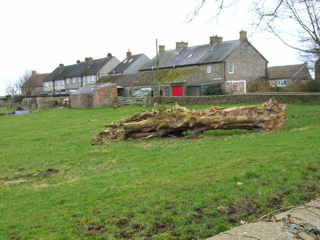
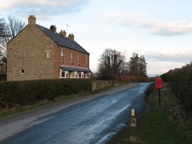
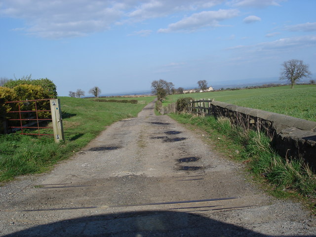
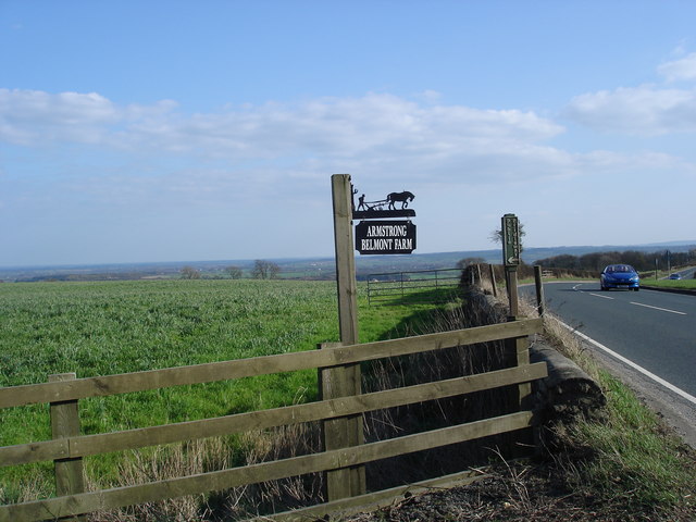
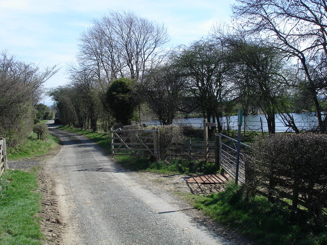
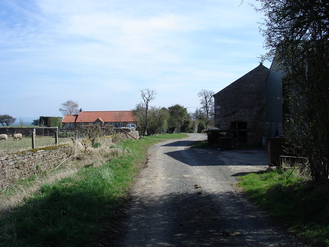
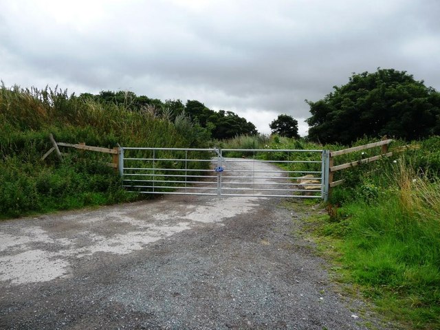
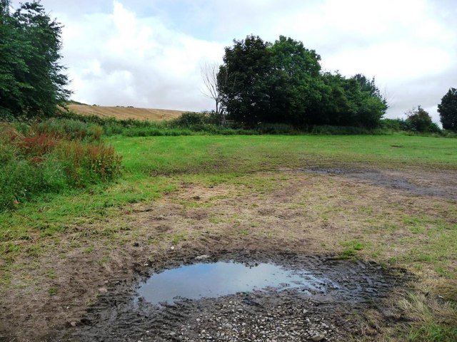
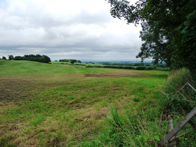
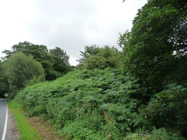
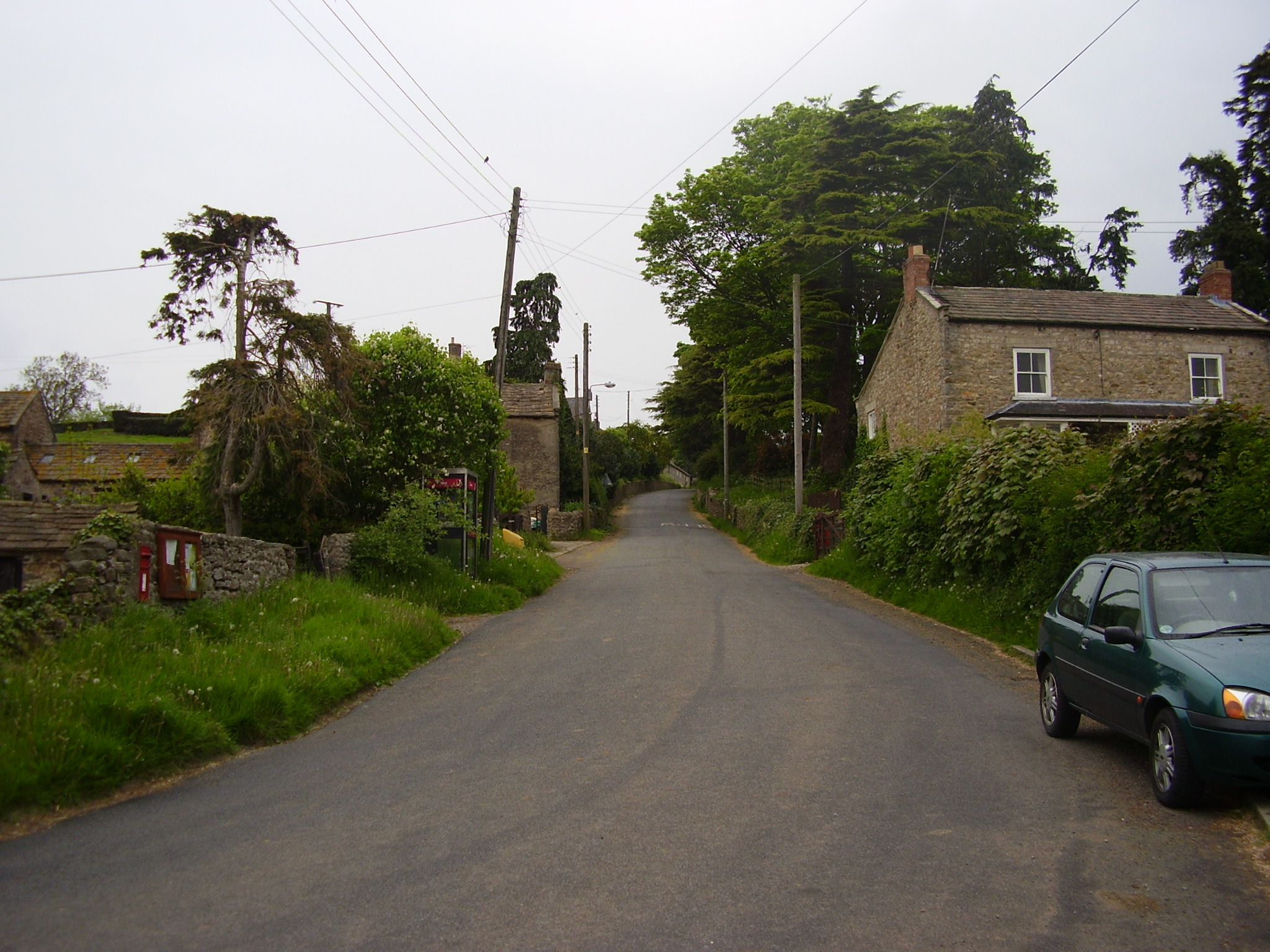
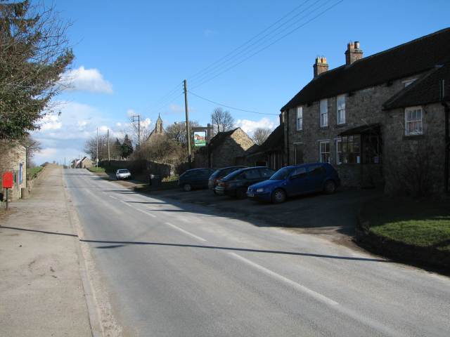
Arrathorne is a rural area characterized by its picturesque countryside and rolling hills. The landscape is primarily agricultural, with farmland dominating the surroundings. The parish is dotted with charming traditional stone houses and cottages, giving it a quintessentially English countryside feel.
Despite its small size, Arrathorne benefits from its proximity to nearby towns and amenities. The town of Bedale offers a range of services including shops, schools, and healthcare facilities, ensuring that residents have access to essential amenities.
The parish is also known for its close proximity to the Yorkshire Dales National Park, which lies just a few miles to the west. This provides opportunities for outdoor activities such as hiking, cycling, and wildlife spotting.
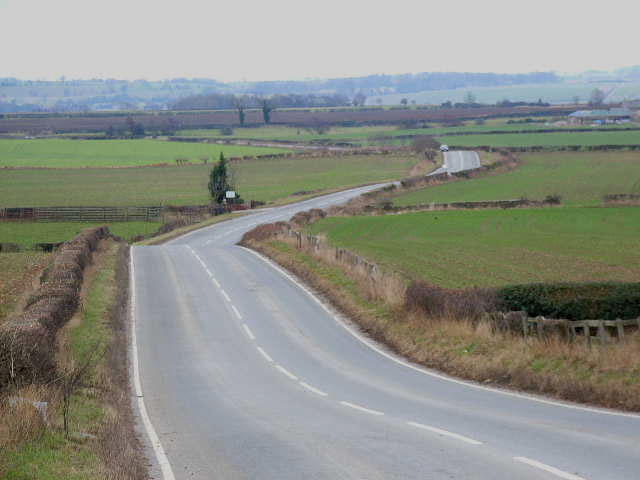
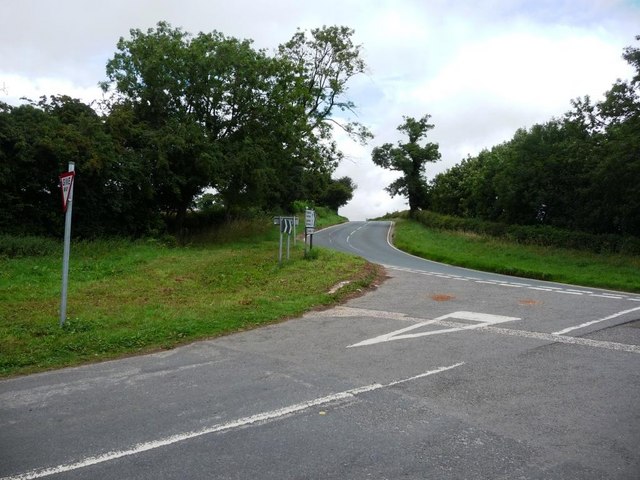
Arrathorne is well-connected to the rest of the region by road. The A684 road passes through the parish, providing easy access to nearby towns and cities. The nearest railway station is in Northallerton, approximately 10 miles away, offering connections to major cities such as York and Newcastle.
In summary, Arrathorne is a charming rural parish in Yorkshire, offering a peaceful and idyllic lifestyle in the heart of the English countryside.
If you have any feedback on the listing, please let us know in the comments section below.
Arrathorne Images
Images are sourced within 2km of 54.336664/-1.691046 or Grid Reference SE2093. Thanks to Geograph Open Source API. All images are credited.


Arrathorne is located at Grid Ref: SE2093 (Lat: 54.336664, Lng: -1.691046)
Division: North Riding
Administrative County: North Yorkshire
District: Richmondshire
Police Authority: North Yorkshire
What 3 Words
///firebird.backyards.indoor. Near Catterick Garrison, North Yorkshire
Nearby Locations
Related Wikis

Arrathorne
Arrathorne is a hamlet and civil parish in the former Richmondshire district of North Yorkshire, England. The settlement is 6 miles (9 km) south of Richmond...

Hunton, North Yorkshire
Hunton is a village and civil parish about 3 miles (4.8 km) south of Catterick Garrison and 6 miles (10 km) north west of Bedale, in North Yorkshire, England...

Hornby, Richmondshire
Hornby is a small village and civil parish located about 4 miles (6.4 km) north-west of Bedale. It is part of the non-metropolitan district of Richmondshire...

Church of St Mary the Virgin, Hornby
St Mary's Church Hornby, is the parish church for the village of Hornby, Richmondshire in North Yorkshire, England. The church is one of six in the Benefice...
Scotton, Richmondshire
Scotton is a village, civil parish and electoral ward in the Richmondshire district of North Yorkshire, England. The civil parish includes the centre and...

Hornby Castle, North Yorkshire
Hornby Castle is a grade I listed fortified manor house on the edge of Wensleydale between Bedale and Leyburn, in the county of North Yorkshire, England...
East Hauxwell
East Hauxwell or Hauxwell is a village and civil parish in North Yorkshire, England. It is located south of Catterick Garrison.To the west of the village...
Tunstall, North Yorkshire
Tunstall is a village and civil parish in the Richmondshire district of North Yorkshire, England about 2 miles (3.2 km) west of Catterick Village and the...
Nearby Amenities
Located within 500m of 54.336664,-1.691046Have you been to Arrathorne?
Leave your review of Arrathorne below (or comments, questions and feedback).